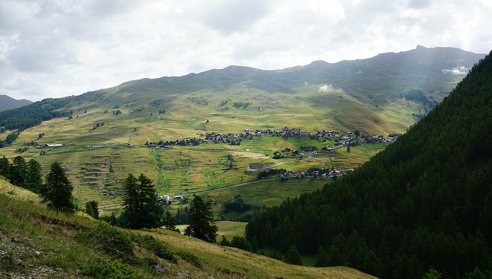
Above Millefonts Lakes
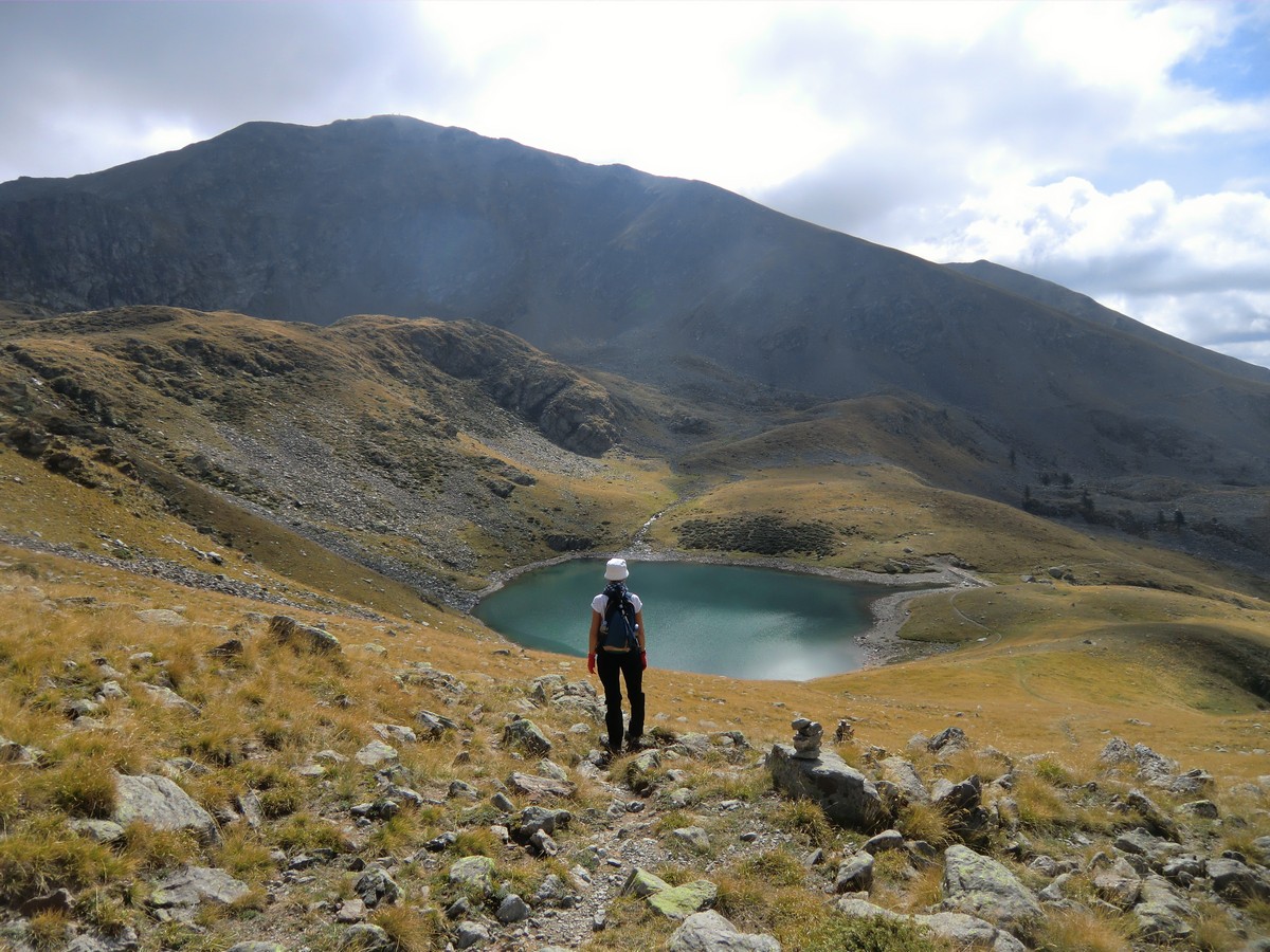
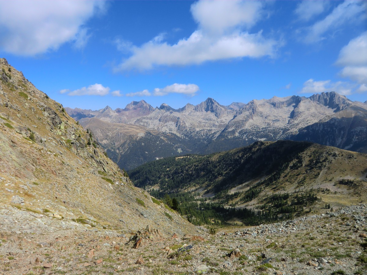
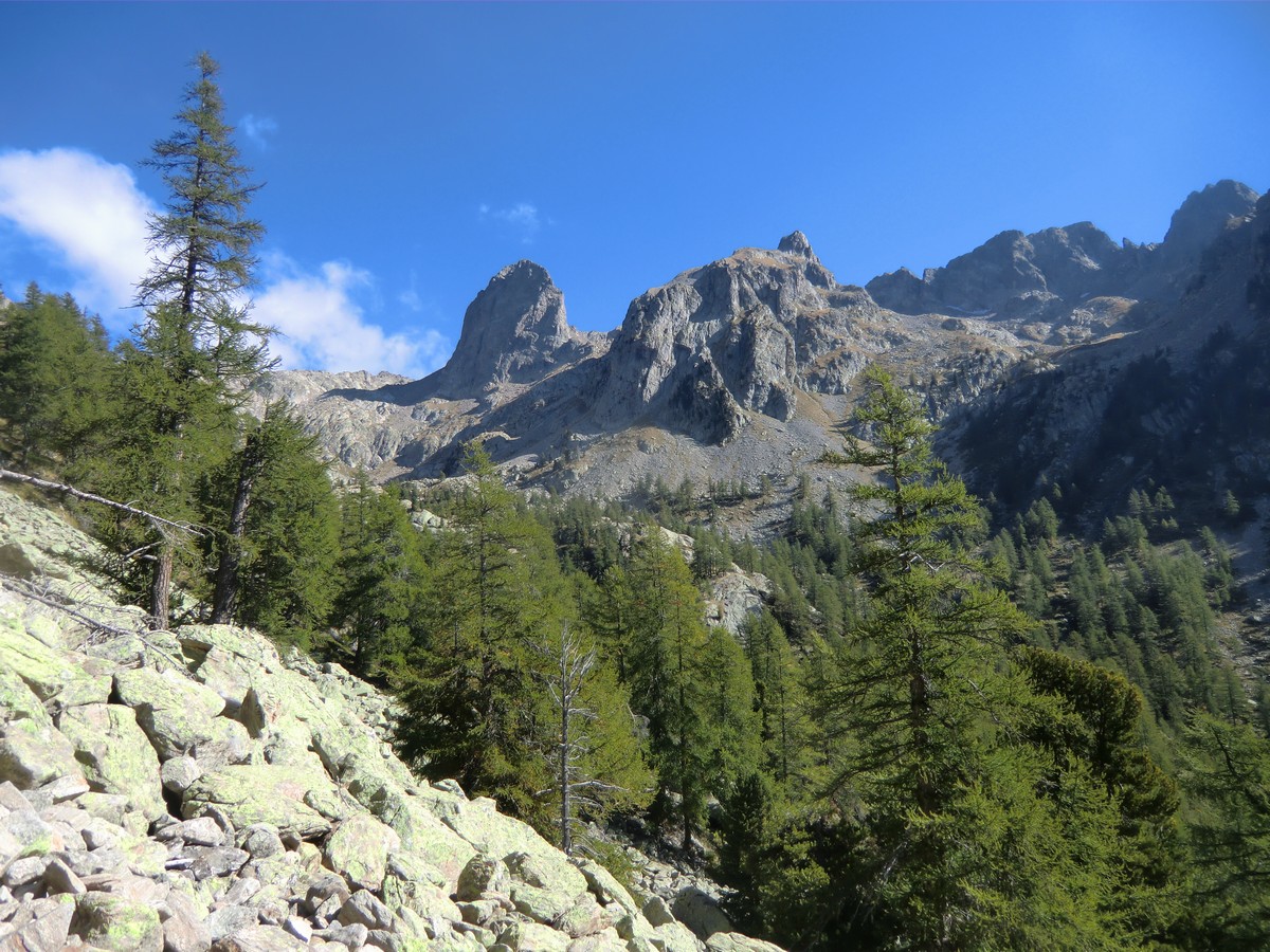
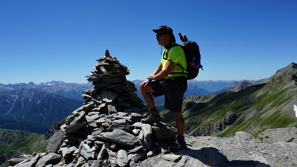
Above Lac Petit Mont Pépoiri 2676 m in background


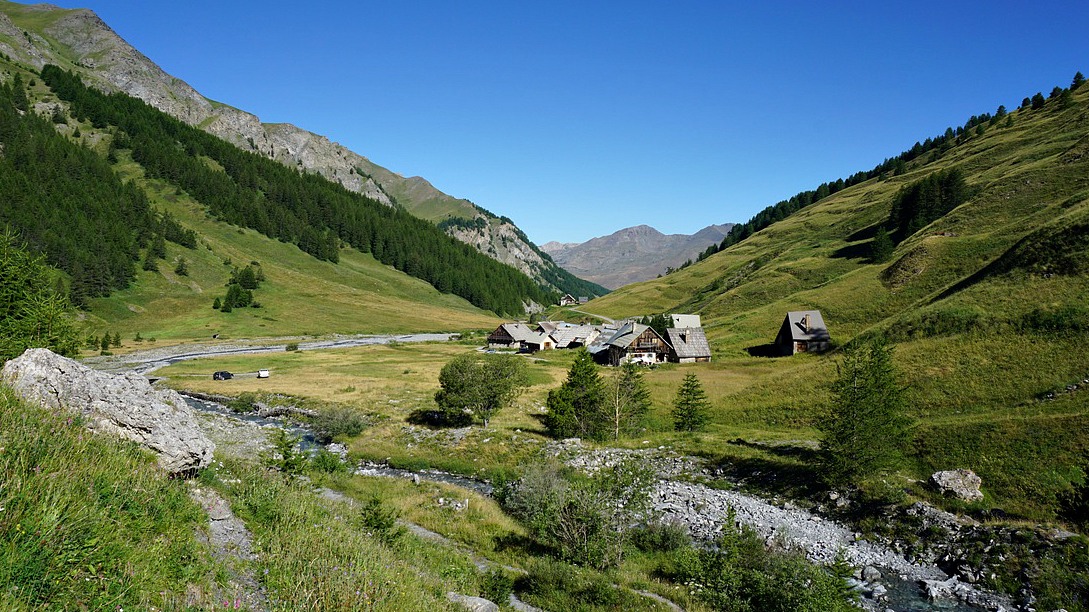
We have previously described our hike to Mont Pépoiri (2674 m) from the Millefonts parking (2040 m). The road up here from St-Dalmas Valdeblore is narrow with some potholes, but nevertheless drivable with a normal car.

This time we wanted to explore another trail in this popular region. Starting from over 2000 m altitude, you are already in an Alpine environment above the tree line.


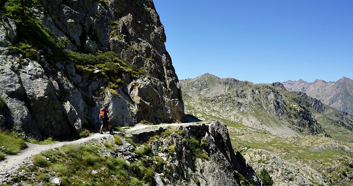
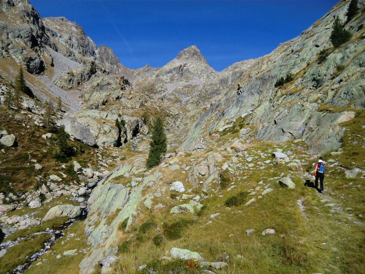
We first climbed to Col de Veillos (2194 m; 30 min). At the crossroads here, we took the trail that forked left heading north to Lac Petit (2229 m), which in spite of its diminutive name is in fact the largest of the Millefont Lakes. Above the lake, we left the yellow-marked trail and forked left following a trail in a gentle grassy terrain. There were some cairns here and there. Navigation was easy as most of the time we had Col Ferrière (2484 m) in sight. The terrain was easy; you could walk almost anywhere. We reached the mountain pass after 1h 50. It was also the border of Mercantour National Park. We had great views to north, towards the peaks surrounding the Isola 2000 resort as well as the Mercantour summits, many of them marking the Franco-Italian border.

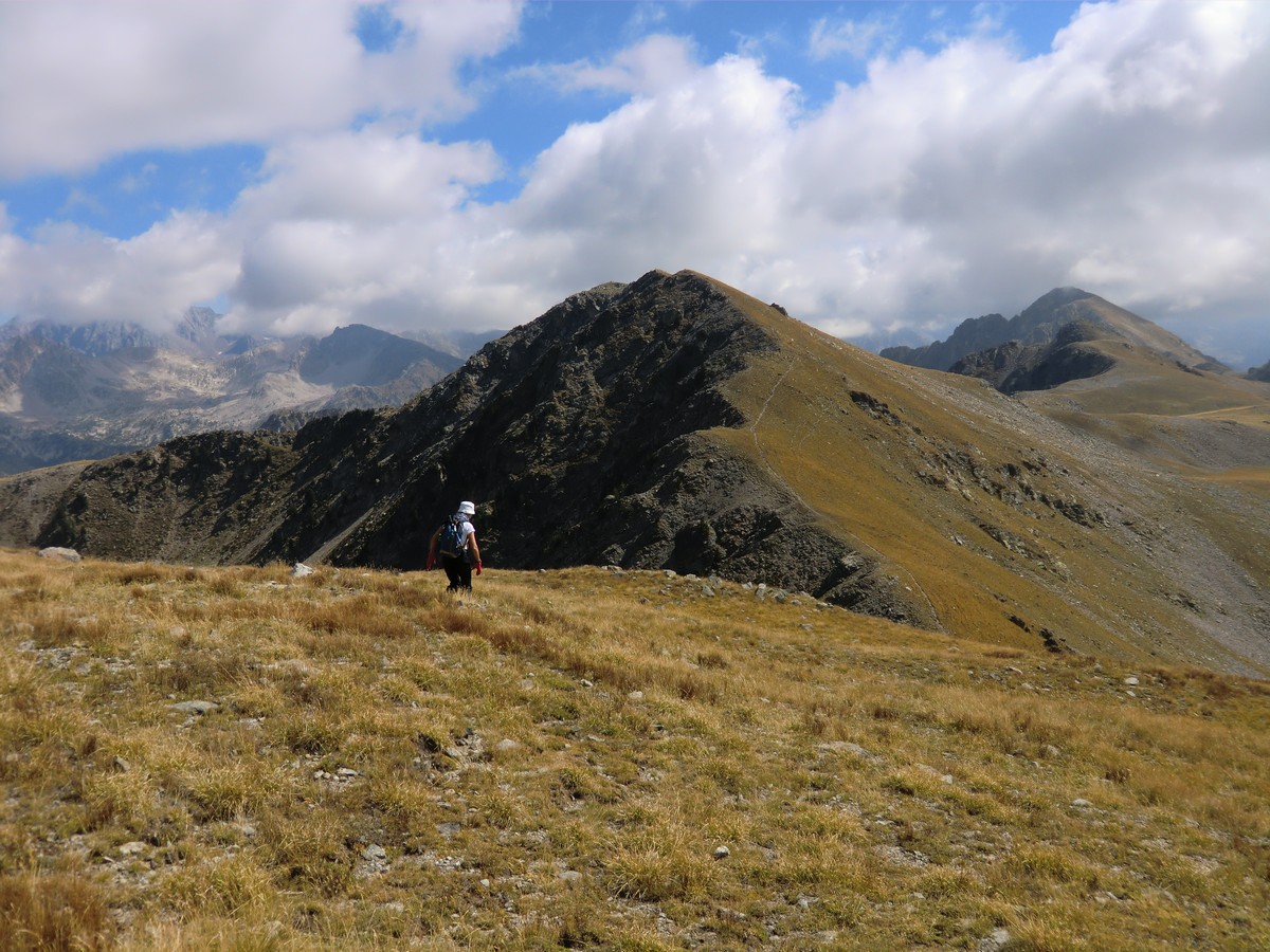
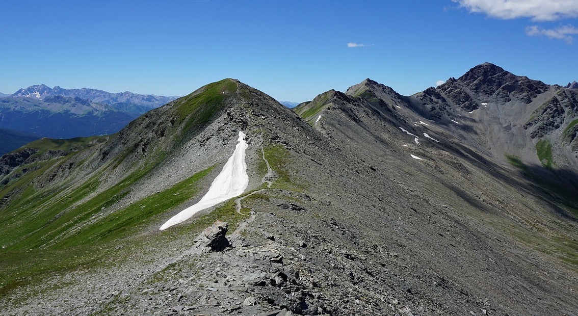
We continued heading east along the mountain ridge, and climbed to our first summit called Brec du Col Ferrière (2518 m) 10 min later. After a brief descent, we ascended next to Tête des Marges (2550 m) 2h 30 after the start, soon followed by Tête du Barn (2529 m) nearby.

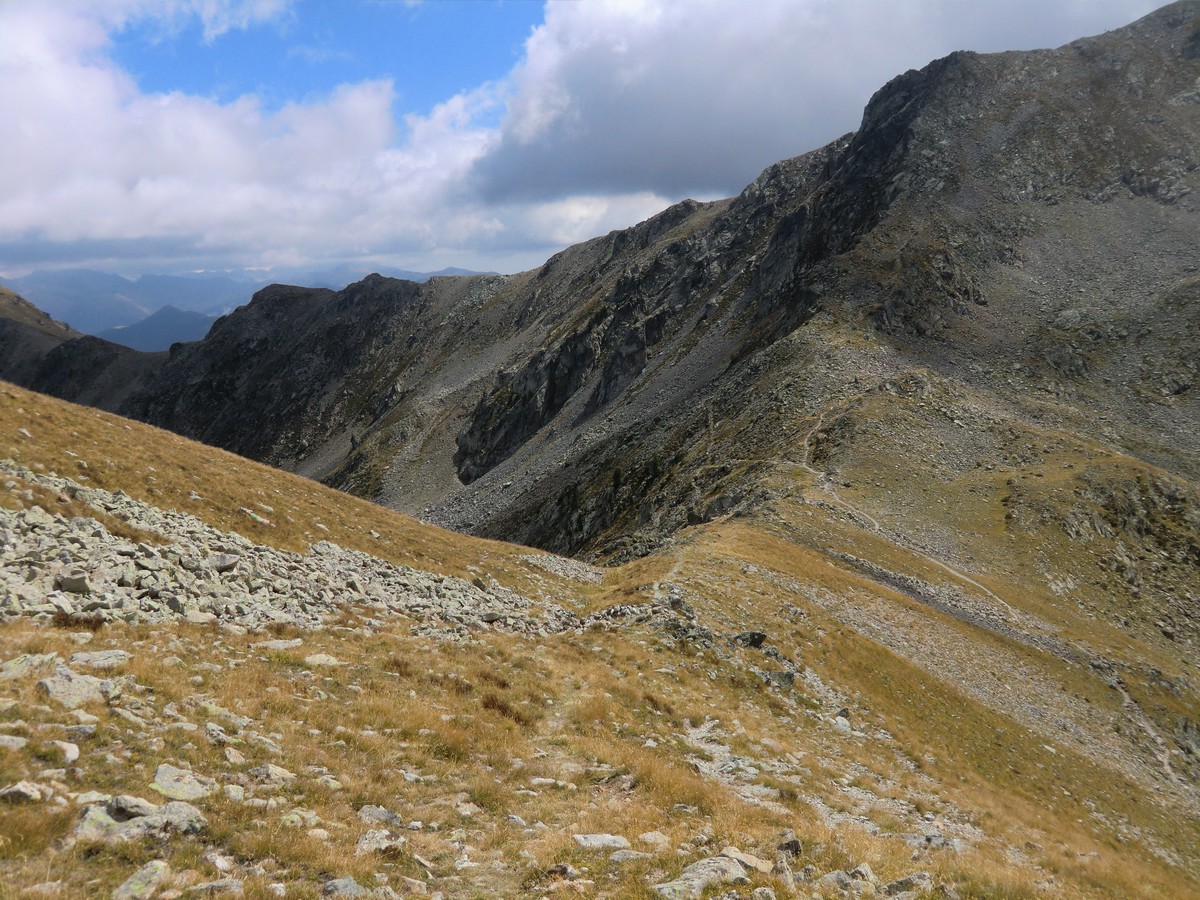
We continued along the ridge, descending to Col du Barn (2453 m/ 3h 10). This mountain pass is at the crossroads to Mont Pépoiri and the GR 52 trail.
Having done three nice peaks already, we forked right, and followed the GR 52 back to the starting point. Ascending to Pépoiri and taking the “off-piste” route via Lac d’en Veillos back to the parking would mean about 250 m more climbing and roughly one hour more hiking time.

Ascent:  about 550 m

Duration: 4h 30

Map: 3641 ET Moyenne Tinée
Image of trail above Millefonts Lakes

Trail image courtesy of Google Maps


Trout fillets Riviera style

Trout fillets Riviera style


In the following recipe trout fillets are simply cooked in the oven and served with panisses, fried courgette (squash) flowers and oven-roasted tomatoes.

Panisses, chickpea flour “fries” are strongly associated with the traditional cuisine in Nice. Chickpea flour is of course the essential ingredient of the famous socca. Chickpea flour, farine de pois chiches, is easy to find in our supermarket in Nice, but for convenience I prefer to buy Chez Bernard panisses. I just roast them in the oven with hazelnut powder and olive oil. If you can’t buy panisses you can of course replace them with new potatoes in this recipe.

Fried courgette flowers, fleurs de courgettes, are a Niçois staple and you will often find them on menus in small restaurants of the Vieux Nice.

The tomato halves are simply sprinkled with a little minced garlic and black pepper, covered with dry breadcrumbs and some olive oil and roasted in the oven together with the trout fillets and panisses.

2 servings

2 trout fillets with skin, about 150 g each
4 courgette flowers with small courgettes still attached to them
1 small shallot
1 tbsp. rapeseed oil
150 ml light chicken stock
8 black olives, pitted and halved
1 tomato, halved
½ clove garlic, minced
Freshly ground black pepper
2 tsp. dry breadcrumbs
2 tsp. olive oil
3 panisses from Chez Bernard
6 tsp. hazelnut powder, noisettes en poudre
3 tsp. olive oil
Basil leaves to decorate
½ lemon in wedges

Preheat the oven to 200 degrees Celsius.

Wash the courgette flowers and place them on kitchen paper to dry. Peel and mince the shallot. Warm 1 tbsp. rapeseed oil in a frying pan over low heat and start gently sautéing the shallot. Make 150 ml light chicken stock.

Line a large roasting tray with baking paper. Place the panisses on the tray and sprinkle each first with 2 tsp. hazelnut powder and then with 1 tsp. olive oil. Place the tomato halves on the tray and sprinkle first with some minced garlic and black pepper, then with dry breadcrumbs and olive oil. Place the trout fillets on the tray skin side down. Roast the tray in 200 degrees Celsius for 10 minutes.

Meanwhile place the courgette flowers in the frying pan and increase the heat to medium- high. Fry the courgettes and flowers for a few minutes turning a few times, then add the chicken stock. Continue cooking for about 5 minutes. Small young courgettes can remain al dente.

Divide the trout, panisses, courgette flowers and tomatoes on the plates. Pour the cooking juices from the frying pan on the trout and courgette flowers. Decorate with basil leaves and olive halves and serve with a lemon wedge.


Hike above the Sanctuary of Sainte-Anne

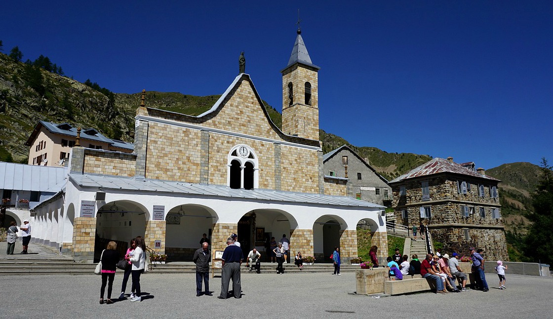
The Sanctuary of Ste-Anne in Vinadio


The Sanctuary of Sainte-Anne is situated at 2035 m altitude in the commune of Vinadio in Piemont. It is said to be the highest sanctuary in Europe. The legend goes that Sainte-Anne suddenly appeared to a young shepherd and asked her to build a chapel at the site.

In summer, the sanctuary is very popular, especially on the 26th of July, fête de la Sainte-Anne, and on the 15th of August when the pilgrimage takes place. A hotel, restaurant, refuge and bar-café are built near the church. Parking is good and spacious in front of the hotel and the refuge.

The sanctuary is a good starting point for several hikes. The hike we describe here is called Tour du Laufser in the French Guides Randoxygène. The hike goes partly on the Italian and partly on the French side. On a clear summer day, it is very popular and offers beautiful views.

We first drove to Isola 2000 and crossed the border at Col de la Lombarde (2350 m). The road on the Italian side is very narrow but paved. From the col, the road winded downhill about 8 km to the intersection of the Sanctuary, then ascended the last 2,5 km.


From the Sanctuary (signpost # 341), we first walked along a narrow paved road straight south a few hundred meters to signpost #342, then forked right following the trail to the Lake of Ste-Anne (signpost #343), and continued ascending to Pas de Tesina (2400 m; signpost # 344). The trail ascended gently and there were several shortcut trails for those who want to climb more steeply.

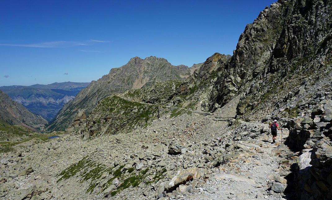
From Pas de Tesina we continued along a good but a bit precipitous trail to Col du Saboulé (2460 m) where we also crossed the border to France. From here, we descended passing the Lausfer Lakes, then climbed to Col du Lausfer (2430 m) and crossed the border again. The following part of the trail was again a bit precipitous and rocky but nevertheless wide enough. We reached the last mountain pass, Pas de Sainte-Anne (2308 m) rapidly. From here, we followed a wide ex-military trail back to the sanctuary. It was possible to make several shortcuts here as well.

Climb: 520 m
Sheep flock just under Col du Saboulé

Duration: 4 h

Map: IGN 3640 ET Haute Tinée 2 Isola 2000
Image of trail courtesy of Google Maps

Mont Mounier seen after Col du Saboulé


Mediterranean lamb skewers

Mediterranean lamb skewers


A new study published Sept 2016 at the University of California Los Angeles showed that a healthy body mass index, physical activity and Mediterranean diet delayed the onset of dementia and Alzheimer’s. Another recent Australian review of 18 papers published between 2000 and 2015 showed that following Mediterranean diet was associated with better memory and less cognitive decline.

Consequently, this summer the French media has focused on these results, and many Mediterranean recipes with a new twist have been published in France.
The following recipe is adapted from a French magazine. I have somewhat modified the recipe according to my preferences, but the basic Mediterranean diet principle remains: there is less meat and the meat is complemented by the vegetable protein, from lentils in this recipe. Carré Frais , one of the ingredients in the recipe, is a soft cheese. In this recipe, I have used fat-free Carré Frais.  If you cannot find Carré Frais in your shops, replace it with Philadelphia Light cheese.

2 servings

About 200 g lean tender lamb, cut into chunks
1 small organic lemon
4 tbsp. olive oil
2 red bell peppers
1 tsp dried Provençal herbs
1 clove garlic, peeled and pressed
100 g feta
100 g Carré Frais 0% fat (or Philadelphia Light)
A small handful of fresh mint leaves, chopped
Freshly ground black pepper
100 ml brown or green lentils

Make the marinade by mixing the lemon zest, 1 tbsp. lemon juice, 3 tbsp. olive oil, 1 tsp Provençal herbs, the pressed garlic clove, and black pepper. Cut the lamb about 2,5 x 2,5 cm cubes and add to the marinade. Cover and let marinate in the fridge for a few hours.

Wash and dry the bell peppers. Cut them in halves and remove all the seeds. Roast them in the oven 210 degrees Celsius about half an hour until the skins are partly blackened. The skins are now easy to remove when the peppers have cooled down. Set the skinned peppers aside.

Cook the lentils in 400 ml water. Add the lentils in cold water in a casserole and bring to the boil. They normally need 30 minutes cooking time, add some water during the cooking if needed. Then cover and keep warm.

Make the feta-bell pepper purée with a hand-held mixer. Slice the peppers and place in a bowl. Add the feta cheese, Carré Frais, 1 tbsp. olive oil, black pepper, and most of the chopped mint leaves. Save some chopped mint leaves for decoration. Don’t make a very fine purée. Divide the purée in individual small bowls.

Thread the lamb cubes onto skewers. Grill in a medium hot grill pan, turning occasionally, until nicely browned on all sides. This will take about 7- 8 minutes for medium (still pink inside, rosé) lamb.

Divide the lamb skewers, lentils and feta- bell pepper purée bowls on the plates. Decorate with chopped mint leaves and serve a green side salad with a French dressing.

Rimplas: The loop trail to la Couletta


Today’s hike starts from the charming and well-maintained village of Rimplas (1000 m). The village overlooks the Tinée Valley in the west and the Bramafan Valley in the east. 60 km from Nice, Rimplas can be reached by taking the RD202 road to La Mescla, where the 2205 road forks to the Tinée Valley. Just after la Bollinette and two short tunnels, the 2265 road branches right and zigzags up to the Bramafan Valley. Above the hamlet of les Vignes, the RM66 road turns left and climbs to the village.

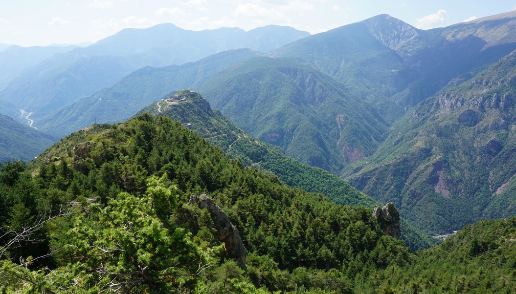
The loop trail is called Circuit de la Couletta in the French guide. Its path is well marked and mostly soft, only the final part back to the village is a bit rocky.  The trail winds partly in sparse pine woods, partly along bare mountain slopes. Most of the time the trail offers great views down to the Tinée Valley, to small villages nearby, and to several high mountain summits.


From the village centre (signpost #153) we ascended along a paved alley about 150 m to signpost 157, and continued from there heading north along a good trail (yellow marks). The signposts showed the direction to la Couletta. We passed signposts # 166 and 166a. Most of the time we had unobstructed views down to the valley. At La Couletta, we dove in the woods, ascended a bit, and reached the well-marked turning point. After that, we came very soon to a clearing that was an excellent spot for our picnic. The trail now headed south back to Rimplas along the same sunny mountain slope, just a little higher.

We continued towards signposts # 158 and 158a passing a water reservoir and a few huts. We then descended along a panoramic crête du Serre. Here, some parts of the trail were a bit rocky, but not at all difficult. We came to a paved road, walked past some new houses, and descended along stairs that took us directly to signpost #157.

Walking time: 3h 30

Elevation gain: 400 m

Map: “Moyenne Tinée” IGN 3641 ET

Visit to Séguret vineyards

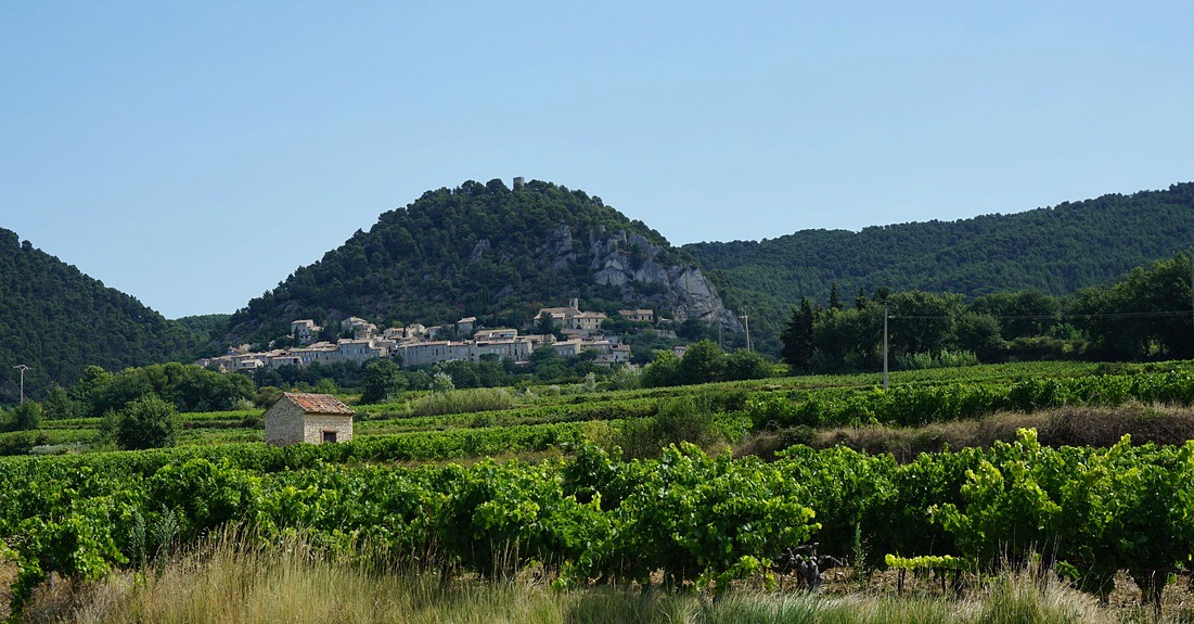
The village of Séguret


The wine-producing village of Séguret is situated west of the Dentelles hills. It is one of the twenty or so Côtes du Rhône Villages that are authorized to use their village name on the label. Wines made under Côtes du Rhône Villages appellation must meet higher standards than those of plain Côte du Rhône. Even higher in the hierarchy are the villages with their own AOC, such as Châteauneuf du Pape, Gigondas and Vacqueyras.

As we had previously tasted some elegant Séguret reds, we now decided to explore the area.

We stayed at Hotel Montmirail near Vacqueyras. The hotel was mentioned for its excellent Provençal restaurant in a 20-year-old guidebook, and we were pleased to find out that that was still the case.

Driving north from Vacqueyras along the D7 road reminded us of Napa Valley. There were numerous wineries and vineyards by the road. At 10 o’clock in the morning, the villages were still very quiet, and many businesses were closed.

Our plan was to visit three very different wineries during the day; A wine cooperative, then a small less known producer, and last an internationally acclaimed producer in the same region.


We started by visiting the Roaix-Séguret cooperative by the D977 road. As the name says, they sell wines produced in these communes. Many of their wines are very attractively priced, too. We tasted their three Séguret reds bottled by the cooperative, namely Domaine Canta Granouio 2013, their blend simply called Seguret Villages 2014, and Roaix 2014, all Appellation Côtes du Rhône Villages Protegée. At 5€ per bottle, they all were good value for money. We chose the Seguret Villages 2014 that we found already now balanced and smooth.

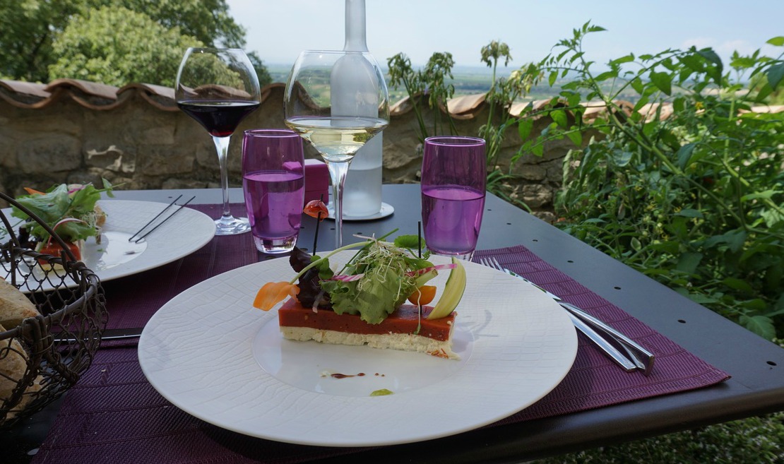
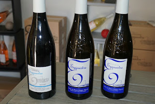
After the first tasting and purchases, we headed to the village of Séguret for lunch. We chose Le Mesclun with a panoramic terrace. Actually there were not that many options in this village or in the vicinity. Their lunch offer called “Petit cuisine du Marché” was just delicious and sufficient for us as we headed to the next visit nearby, a vineyard called Domaine de Eyguestre in the secluded hills above Séguret. Fortunately, the road was signposted!  The clay and grey limestone land here is very suitable for wine cultivation. The soil is said to give smaller yields of higher quality. Incidentally, we had read about their wines on Le Petit Ballon web site. We had made a rendezvous before arrival and met Mr Laurent Bellion the proprietor. We tasted Séguret Côtes du Rhône Villages Domaine de Eyguestre 2013 and 2014 blends (Grapes: Grenanche, Cinsault and Syrah). For us, the difference was negligible but we went for the 2013 vintage that had been reviewed by Le Petit Ballon. We also bought some olive oil there.

Our last stop was Domaine de Mourchon by the same narrow road, on the way back to Séguret. Created in 1998, the winery is run by the McKinlay family. We got an excellent presentation by the proprietor Mr Walter McKinlay himself and had the opportunity to taste some of their bestsellers such as:

Mourchon Grande Réserve Séguret (Appellation Côte du Rhône Villages) made of 65% Grenache and 35% Syrah, aged 40% in oak barrels and 60% in concrete vats.

Mourchon Tradition Séguret (Appellation Côte du Rhône Villages) made of 65% Grenache, 25% Syrah and 10% Carignan, aged 100% in concrete vats, consistent with the ancient method.

Mourchon Châteauneuf du Pape (Appellation Châteauneuf du Pape Controlée) has 70% Grenache, 20% Mourvedre and 10% Syrah. The winery does not own vines in Châteauneuf du Pape but as the owner explained, the “juice” is acquired from there through a négociant.

As amateurs, we got a lot of new information about this important wine region, and its rather complex classification system from only three visits.
Roaix Séguret cooperative wines to be tasted


Eyguestre wines to be tasted


Mourchon wines to be tasted


Boréon: Lacs Bessons 2545 m

The lower dark lake of Bessons


The upper region of Boréon is extremely popular during the summer season. The magnificent forest, good variable trails, and super views over the mountains…Most of the trails go inside the Mercantour National park. Here you can find everything from leisurely walks to demanding Alpine trails.

One of the classic hikes goes up to Lacs Bessons (2545 m). The twin lakes are located in their basins under Tête de la Ruine (2984 m) and several other peaks approaching 3000 m.


The main season for this hike is from July to October. The first part of the trail is the GR 52; we used the lower parking at 1600 m. The upper parking is at 1660 m altitude but mind the potholes in the last part of the road! We followed the GR 52 heading to Refuge de Cougourde to signpost # 423 and further to signpost #424. This is the crossroads where we turned left following the narrow path in the woods. It is neither signposted nor marked with any colours, just cairns, heaps of stones. We followed closely the trail to Vallon Sangué, and came gradually above the tree line. Here the trail leveled off a bit, heading northwest. We crossed the stream that ran in the valley a few times. At the confluence of two streams the trail headed north, and started to climb steeply again. We ascended to Lacs Bessons Valley. Once again we crossed the little stream before climbing steeply northeast in a rocky mountain slope. After this ascent, we again turned north then northwest and then finally the first lake was in front of us. The landscape was truly sauvage. On the way up, we saw numerous marmots a few chamois. The solitude was remarkable. We heard the marmots’ screams but nothing else.

We climbed a little further, and could see the upper lake and the isthmus between them. We had our picnic by the lakes, and then returned along the same trail. Serious hikers might consider continuing to the nearby peaks such as Tête de la Ruine.

This itinerary is recommended only in good weather. Poor visibility and rain can make some parts of the trail dangerous.

Total ascent:                  940 m (from the lower parking at Boréon)
Duration:                        6 hours


Map: IGN Vallée de la Vésubie 3741 OT

Trail image courtesy of Google Maps


Antipasti


The small dishes, antipasti, tapas, meze, which are served in cafés, restaurants and bars have a long tradition in the Mediterranean countries. In Italy, antipasti are served in restaurants at the table to begin a meal. Good Italian restaurants still have impressive and delicious antipasti buffets, and it is well accepted nowadays that you skip the pasta if you have enjoyed the antipasti buffet.
By chance I came across my notes of a truly magnificent antipasti buffet that we enjoyed at our hotel during a skiing trip in Madonna di Campiglio many years ago. At home, nobody would cook an antipasti buffet like that followed by pasta, main course and dessert, but I thought why not have antipasti as dinner and nothing else.

These varied small dishes enjoyed with a glass of chilled rosé, a green salad and good country bread can keep you happy on a summer evening without cooking the pasta or heating the barbecue. Many of these dishes can be cooked ahead of time. The following four dishes are just a tasty sample of the sumptuous antipasti buffet served in Madonna di Campiglio.

Dish 1.

Mix together sliced, tinned Italian artichokes, baby salad leaves, cooked prawns, minced flat-leaf parsley and freshly ground black pepper. Make a dressing of 1 part of freshly pressed lemon juice and 3 parts of fruity olive oil. Pour the dressing over the salad just before serving and toss.

Dish 2.

Toss together cooked brown beans, minced parsley and vinaigrette. Make a vinaigrette of 1 part of red wine vinegar and 3 parts of tasty olive oil. The beans are best if soaked overnight and cooked just before serving. If you use tinned beans, rinse thoroughly in cold water and dry before mixing with parsley and vinaigrette.

Dish 3.

Mix together thinly sliced courgette, and thinly sliced cold roast beef. Pour over some vinaigrette and toss.

Dish 4.

Thinly slice an aubergine and brush olive oil on the slices. Roast the slices in 200 degrees Celsius for about 20 minutes until soft. In a frying pan, fry sliced mushrooms with some garlic in rapeseed oil. Mix together the aubergine and mushroom slices. Toss in a little vinaigrette and grind over some black pepper.

Hike to Grand Glaiza 3293 m


The summit of Grand Glaiza (3293 m/10804 feet) in Queyras can be ascended from south by following a very long ridge called Crête aux Eaux Pendantes. The northern side of the mountain facing Italy is very steep.

Experts claim that ascending Grand Glaiza is easy. Even so, to reach this altitude means that you need to negotiate some steep parts, and the final ascent always is rocky, and often lacks a visible path. In any case, the ascent is long, and the altitude takes its toll.


We started the ascent from the refuge of Torrents les Fonds (2040 m) in the beautiful and tranquil valley of la Cerveyrette. From the village of Cervières, we drove along a good albeit narrow paved road D89T to the parking les Fonds just before the refuge.

We crossed the river after having passed the refuge, and found the signpost showing the GR58 trail towards Col du Malrif (2866 m). The trail first ascended gently in the verdant valley. In south, the summits of  Pic Lombard (2975 m) and Petit Rochbrune (3078 m) and their steep northern precipices dominated the scenery. The trail followed the stream named Pierre Rouge for quite a while, to about 2500 m altitude. The mountain ridge was now well visible in front of us. We climbed along a steep and rocky trail as far as to Col du Petit Malrif (2830 m). From the mountain pass, we already had a great view of the biggest of the Malrif Lakes namely le Grand Laus below us. We continued heading northeast climbing to the nearby Pic du Malrif (2906 m). From here, we admired the nearby peaks, notably the majestic Mont Viso (3841 m).

From Pic du Malrif, we descended a little along the trail to Col du Malrif (2866 m). At this point, we left the GR58 trail and followed the well visible trail along the long mountain ridge. There were only cairns, no other marks. Some parts of the trail ran in gentle grass, but the higher you ascended, the rockier the trail came. Our goal, Grand Glaiza was looming in front of us. Once over 3000 m, we started to feel the altitude when struggling uphill. The last 30 vertical meters or so became a bit difficult as the trail was hard to see. The terrain was rocky with a lot of moving slate. Once at the summit, the verdant Thures Valley on the Italian side was seen over 1000 m below. In north, the partly snow-covered Vanoise summits were visible but some clouds prevented from seeing Mont-Blanc.

We returned along the same trail and had our well-deserved picnic a bit lower.

Ascent: 1250-1300 m
Les Ecrins seen from the ridge to Gland Glaiza


Duration: 7,5-8 h

View towards Mont Chaberton and Thures Valley

Map: IGN 3536 OT and 3637 OT

Descending from Grand Glaiza along the ridge


Hike along GR 58 from St-Véran

The village of St-Véran

Our second day in St-Véran (2040 m) started with rain and thunder. However, after breakfast the weather improved, and we decided to start the hike along the GR58 towards Ceillac.

Our initial goal was Col des Estronques (2651 m) and the nearby Tête de Jaquette (2757 m) roughly halfway between St-Véran and Ceillac. The trail first descends about 200 m from the village centre, then ascends about 800 m to the mountain pass.


The trail was good and well-marked (GR trails usually are). We first climbed rather steeply in the beautiful woods. This trail was much less frequented than yesterday’s trails from Chapelle de Clausis. Once past the tree line, we reached a verdant alpine meadow where the ascent was less strenuous. Col des Estronques eventually came visible in front of us. Unfortunately, at the same time, the weather deteriorated rapidly. We had about 50 vertical meters left to climb when a fierce thunderstorm was right above us. The mountain pass in front of us disappeared. We had barely time to grab our raincoats when the rain started. We now saw several hikers carrying large rucksacks coming fast down from the Col des Estronques, probably doing the several day Tour of Queyras.

We descended rapidly. Luckily the weather often changes quickly in mountains. After about 30 min or so the storm had passed, there were even some sunny spells, and we could enjoy our picnic on a mountain side further down.

In spite of not reaching our goal on this hike, we actually did more climbing than on the first day. Don’t try to push on in high terrain when the weather is deteriorating. We knew that it could happen, and chose an itinerary from where it was easy to turn around if needed.

Total climb: 750 m + 200 m = 950 m
Image of GR58  trail to Col des Estranques

Duration: 5 h

Map: IGN 3637 OT

Trail image courtesy of Google Maps