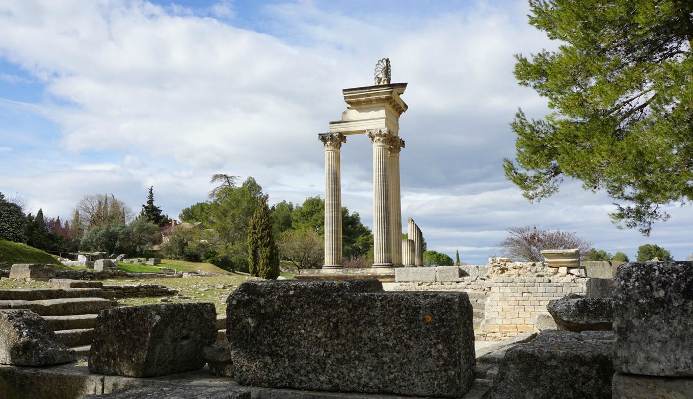
Lauvet d'Ilonse

Northern flank of Lauvet d'Ilonse


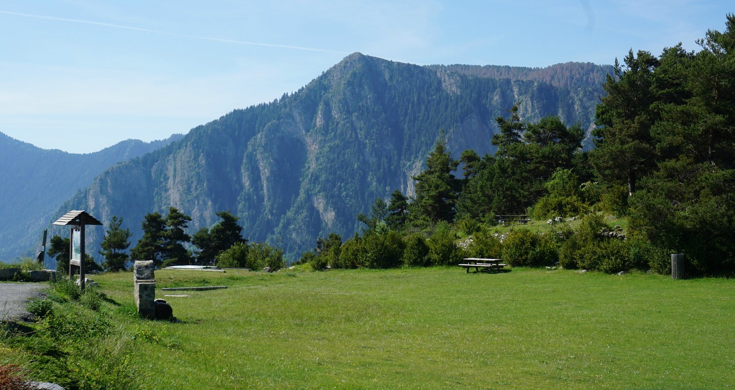
A very narrow paved road that runs through the villages of Ilonse and Pierlas connects the Tinée and Cians River Valleys. The highest point, Col de la Sinne (1438 m) is the starting point of our hike to Lauvet d’Ilonse (1992 m).

Situated deep in the Nice hinterland, Ilonse is one of the most sparsely populated communes in Alpes Maritimes. The road up to the village at 1200m, and 3 km further to Col de la Sinne is an experience itself.


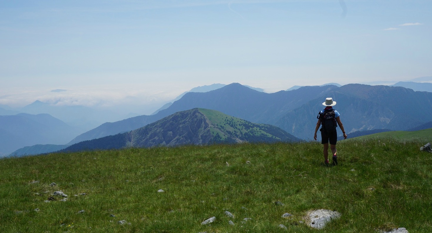
We started from signpost #220 at the col, and headed straight north along a good trail initially in the woods. Passing signposts #221 and 222, we exited the woods and continued the slow ascent along the eastern flank of the mountains. After about 1h 30, the trail turned west, now continuing along alpine meadows, following the northern flank of Lauvet d’Ilonse. We came to signpost #308 (1850 m). From here, the incline directly to the summit was a bit steep, but mostly covered with grass. We reached the summital plateau in about 20 min. It is possible to use a longer but less steep trail shown on the IGN map. Because of the terrain, one can walk almost anywhere on the summit.

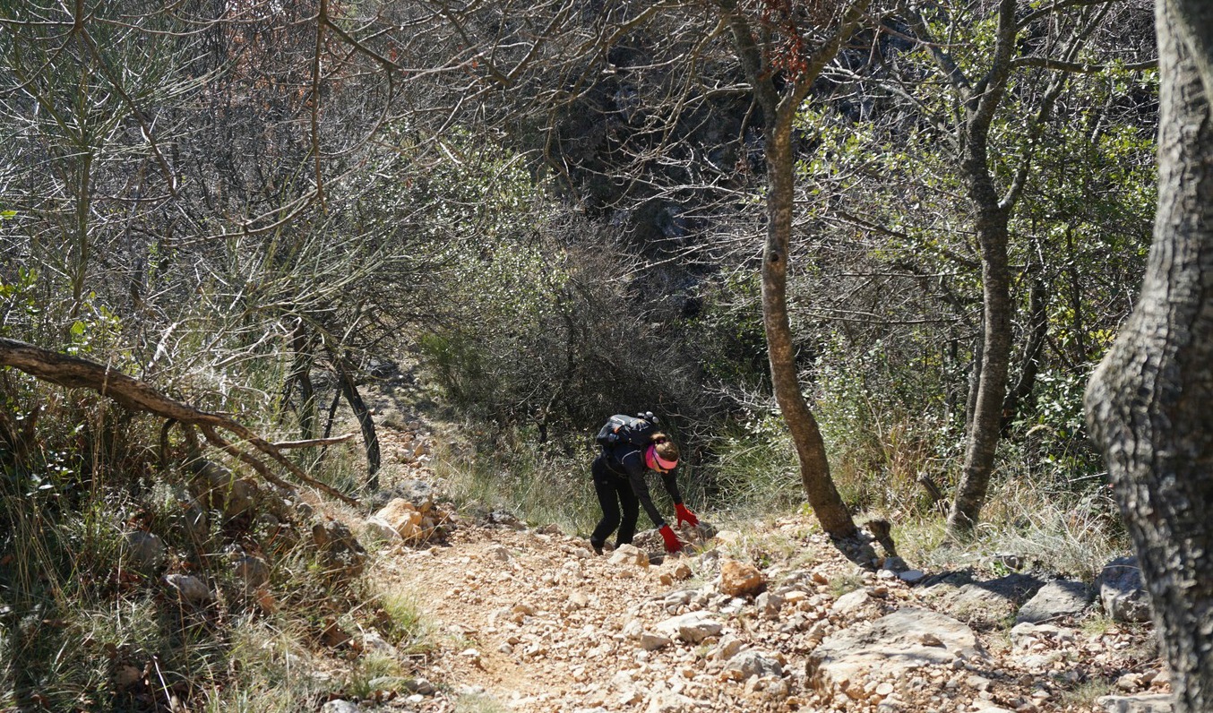
For this hike, we followed the guidebook written by Reinhard Scholl (Alpes Maritimes; Rother Guide des Randonnéés). We walked off piste straight west from the summit as instructed. There were not any marked trails. The descent gradually became steeper. The Baisse de Tavarières intersection and the dirt track running on the western side of the mountain were soon visible below us. We descended along the less steep part of the slope, came to the track and headed straight south along it.

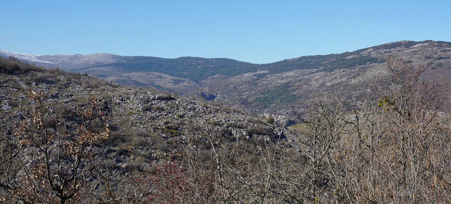
The track eventually turned east, and we passed a lamb hut where the livestock happened to be on both sides of the track. And the dogs guarding them, too. We feel that dogs guarding the flocks have become more numerous, bigger and more menacing probably because of the wolves in the region. Herders were nowhere to be seen. Normally, when you meet a flock and dogs you should make a detour or wait till they have crossed. In this situation neither option was possible. So we walked on, and when one of the dogs just still approached, we stopped, and faced the leading dog. Finally, he got the message.

We came to signpost #117, forked left leaving the dirt track. After a short ascent we continued towards signpost #221, and came to the path used in the beginning of the hike. From here, we descended rapidly back to our starting point.

Instead of doing a loop hike as described above, you can always use the same trail back.

Vertical ascent: 630 m
Trail image Col de la Sinne to Lauvet d'Ilonse

Duration: 5 h

Map: Moyenne Tinée 3641 ET


0 comments:

Note: only a member of this blog may post a comment.

Pasta fresca with chicken

Pasta fresca with chicken


I can’t remember where I got the inspiration for this simple but tasty pasta dish. It must have been somewhere in the US because dry whole wheat pasta is used in the recipe, and not fresh pasta. Fresh pasta in Italian is pasta fresca.

My twist is to add cubed and sautéed chicken to the pasta. The dish makes a perfect spring lunch or light supper if the usual chopped fresh tomatoes are replaced with broccoli florets. Summertime when tasty tomatoes again are available by all means use them in the recipe.

2 servings

300 ml whole grain dry pasta (any shape)
300 ml broccoli florets
2 small organic chicken breasts, cut into cubes
3 tbsp. olive oil
1 shallot, chopped
1 clove garlic, minced
Freshly ground black pepper
Chopped parsley
8- 10 black olives, sliced
A handful of grated parmesan

Cook the pasta in boiling water according to the instruction on the package. When cooked, drain and place in a large bowl. Mix with 1 tbsp. olive oil.

Warm 2 tbsp. olive oil in a sauté pan over medium heat. Add the cubed chicken breasts, chopped shallot and minced garlic. Sauté stirring now and again for 10- 15 minutes.

Microwave the broccoli florets and add to the bowl with pasta. Grate the parmesan, chop the parsley and slice the olives.

When the chicken is cooked, add to the bowl and mix. Add the olives, parmesan, and parsley and mix. Serve immediately.

0 comments:

Note: only a member of this blog may post a comment.

Circuit hike above Le Broc

View from trail Le Broc Bezaudun


Here’s another great hike from the village of Le Broc (450 m). In spite of its proximity of the French Riviera, only about 15 km from Promenade des Anglais as the crow flies, this trail in the hills and mountains above Le Broc has a feeling of a wilderness. It is mostly barren and rocky brush land with sparse woods here and there.

Our trail passed some pastures during the ascent. The livestock may or may not be there. On the day of our hike, the was a flock of lambs not far from the trail. The guarding dogs approached us viciously, luckily the herder was on-site and commanded them back.


We started from signpost #1 in the centre of the village and followed the same itinerary (signposts #3,5) as on the previous hike to Mouton d’Anou as far as to signpost #137. Here we forked right heading towards Bézaudun along a forest track. It was still partly covered with ice and snow.

We came signpost #135 by a paved road not far from Bézaudun. We turned right, heading north east. We descended, passing a small community named Les Combes. The paved road ended soon, and we continued along a dirt track about 3 km, passing signpost #109. We came to a crossdoads and signpost #22 where we forked right and ascended to signpost #5, thus completing the loop.

Signpost #22 actually instructs you to fork left to reach Le Broc, which is the other option (a dirt track then narrow paved streets) passing the neighbourhood of Saint-Germain above Le Broc. Relevant signposts are shown in the GPS track below.

Distance: 13,7 km

Climb: 601 m

Duration: 4h 15 walking time

Map: 3642 ET Vallée de l’Estéron Vallée du Loup

Loop trail track above Le Broc


0 comments:

Note: only a member of this blog may post a comment.

Les Alpilles: Glanum and hike to the Rocher des deux Trous

St-Remy-de-Provence seen from Rocher des deux Trous


Glanum in Bouches-du-Rhône, south of St-Rémy-de-Provence was a tourist site already in the 16th century because of its well-preserved Roman monuments.

The first inhabitants were Gauls (6th and 7th centuries B.C.). Glanum became a Roman colony in 27 B.C. and important urban construction was started. During the Roman era via Domitia from Spain to Italy ran through Glanum.

In 260 A.D. Glanum was invaded by the Alemanni. The inhabitants had to flee and founded the town of Saint-Rémy-de-Provence.


After admiring the antique monuments, we started our hike to Rocher des deux Trous, passing first the Saint-Paul-de-Mausole Hospice where Vincent Van Gogh was interned.

At the hospice, we forked right (south), passed the Glanum site and came to the start of the botanical trail (Sentier botanique) where a map of several hiking trails was displayed. The trail ascended in the Valley of Clerg, where there was information about the local flora at several spots. We continued as far as to a paved service road, forked left and continued along it, heading southeast. The crossroads to our goal was signposted, and we took a wide unpaved trail straight to the Rocher des deux Trous. This is the easiest itinerary with yellow markings to Le Rocher. Other options include shortcuts over the hills or a steep climb via Mont Gaussier.

As the name says, the Rocher des deux Trous is a steep rock formation with two big holes. Saint-Rémy-de-Provence and the surrounding plateau can be viewed through the holes. During the summer months, access to these trails is restricted due to the high risk of forest fire.

We returned along the same trail. It was a great day as we could combine history and hiking in the Les Alpilles Massif.

Our GPS track is shown below.

Distance: 8,3 km

Duration: 2h 30

Elevation gain: 238 m

Le Rocher des deux Trous hike track Glanum

0 comments:

Note: only a member of this blog may post a comment.