Puy de Naouri from St-Barnabé


Near Puy de Naouri


Situated at about 970 m elevation on the St-Barnabé Plateau, the parking by the D302 road is a good starting point for hikes to nearby mountains as well as for exploring the St-Barnabé Plateau itself.

The D302 road forks left about 600 m after Col de Vence, next to the horse stables.

We wanted to explore the trail to Puy de Naouri (1024 m) above Tourrettes-sur-Loup, using the parking as our starting point.


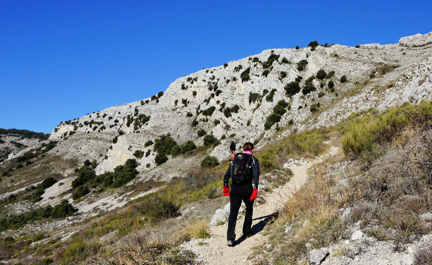
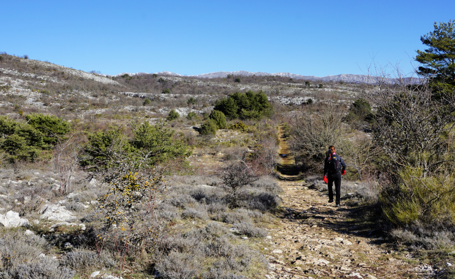
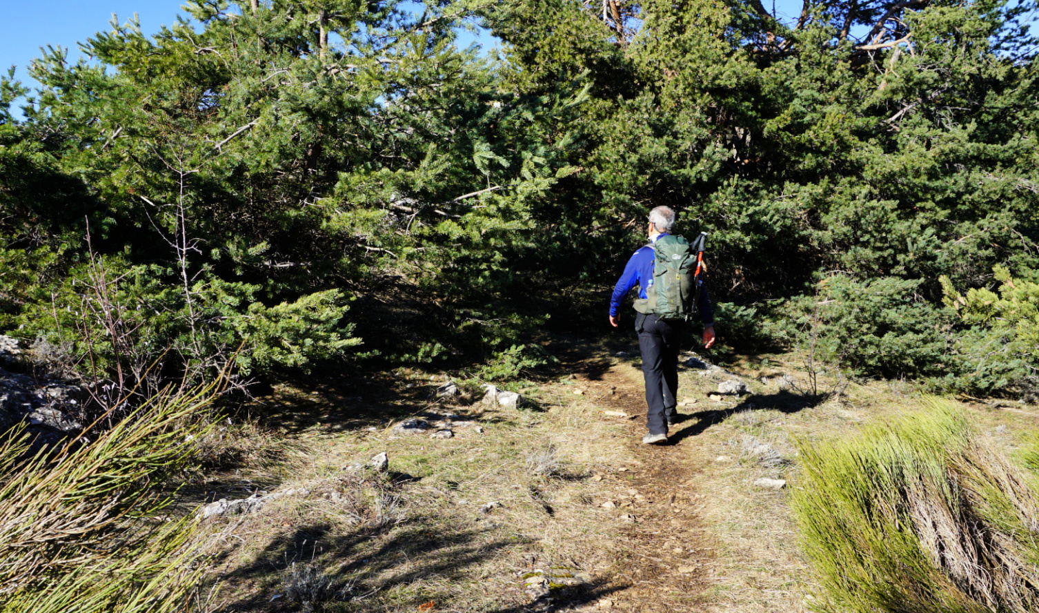
The GR51 trail, the first part of today’s itinerary, runs along the St-Barnabé Plateau next to the parking. From the parking, we first followed the D302 road about 450 m to signpost #262 where we forked right and continued along the GR51 trail southeast. We followed it to signpost #261 where we turned right, leaving the GR51 and headed southwest (yellow markings), then south along the eastern flank of Puy de Tourrettes, climbing a bit.


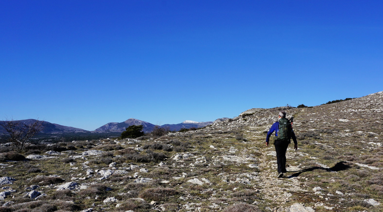
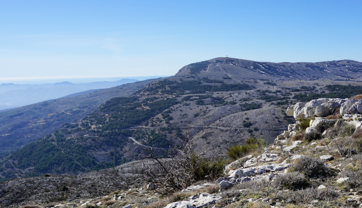
We reached the crossroads at signpost #176 at la Baïsse, forked left (east) towards Puy de Naouri, passing first signpost #178 before a short ascent to the familiar summit. There were two big cairns in addition to some small ones on the summit plateau. On a clear day the summit offers a great panorama.


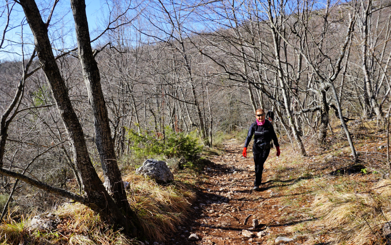
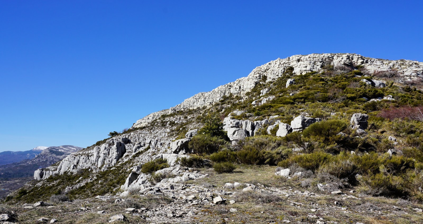
We returned back to signpost #178 where we forked right and descended steeply. After a crisp and clear spring morning, the weather deteriorated. Low maritime clouds, not uncommon in the region in spring, now covered the peaks. We saw a path not marked in maps in a slope in front of us which went to a hill named Pierra. On our digital map, there was a track from Pierra to GR51 which we took. We soon came to GR51, forked left and walked back to our starting point. Our original plan was to descend further along Combe de la Baïsse to signpost #115 and join the GR51 there.


Duration: 2h 50


Distance: 9 km


Climb: 230 m


Map: 3642 ET Vallée d l’Estéron Vallée du Loup


Puy de Naouri hike track


0 comments:

Note: only a member of this blog may post a comment.

Roasted pork chops


Roasted pork chops


Cyril Lignac is one of the most popular chefs in France at the moment. He is often on TV shows, opens new restaurants and publishes cookery books. He used to write recipes for supermarket booklets and his roasted pork chops was published years back in a such booklet.

The following recipe is my twist of his original recipe. It works just as well with traditional pork chops with bone and pork chops without bone. It now seems that removing bones from pork chops is fashionable among French butchers. Chops without bones need a bit shorter roasting time.

In spring, I like to serve the chops with roasted tomatoes, green asparagus, and rice mix as shown in the photo.

2 servings

2 pork chops

2 tsp. Dijon mustard

1 small shallot, minced

1 clove garlic, minced

1 tsp. soya sauce

Olive oil

Freshly ground black pepper


Preheat the oven to 200°C, roast.


Coat a large oven-proof dish with olive oil and place the chops in it. Make a mixture of Dijon mustard, minced shallot and garlic, soya sauce, black pepper, and 1 tbsp. olive oil. Divide the mixture on pork chops. Roast the chops for 30 minutes if the bones have been removed, for about 40 minutes if the bones are still on. Cover with aluminium foil if the chops brown too much.


Tomato halves and green asparagus can be roasted in the same dish. Sprinkle the tomato halves with some bread crumbs and olive oil and roast for about 20 minutes. Trim away the tough ends of asparagus and shake in a plastic bag with some olive oil. Roast for about 15 minutes.


Cook the rice mix according to the advice on the package. Divide the chops, rice, and vegetables on the plates and decorate with chopped basil.


0 comments:

Note: only a member of this blog may post a comment.

Mont Capelet Inférieur Hike

Mont Capelet Inférieur 2419m


 Situated above the Gordolasque Valley inside the Mercantour National Park, Mont Capelet Inférieur (2419 m) does not have any marked trails to the summit in the official hiking maps. The mountain is nevertheless easy to reach from the Gordolasque Valley. The grassy southwestern face is a bit steep but nice to ascend. The neighbouring Cime du Diable (2865 m) and Mont Capelet Supérieur (2637 m) are both steeper and rockier.

NB! There is limited access to the Gordolasque Valley for vehicles under 3,5 t. The RM171 road was initially closed after the devastating storm named Alex in early October 2020. 

For updated info in the Vésubie Valley:

https://www.nicecotedazur.org/actualite/2020/10/21/temp%C3%AAte-alex-point-de-situation-quotidien


We drove to Bélvèdere in the Vésubie River Valley, then followed the narrow M171 in the Gordolasque Valley, and parked next to signpost # 271 at 1380 m (a sharp bend just after Cascade du Ray waterfall), showing directions to Crêtes des Terres Rouges; Serre de Clapeiruole.


We hiked southwest along a good dirt track and after 2 km came to a clearing at 1519 m. Here, at signpost # 263, we forked left (east) into the woods and ascended along a nice path in Terres Rouges. Gradually, the forest was replaced by Alpine meadows. There were yellow markings as far as to a meadow with a telecom mast. The marked trail descended back to the Gordolasque Valley (St-Grat) from here. We continued straight, staying on the ridge called Serre de Clapeiruole. There was a barely visible trail in places, and small cairns here and there.

 We reached the border of Mercantour National Park, marked with two large green dots. Here we climbed straight on.  After a short albeit steep ascent, we came to another flat Alpine meadow between two sharp cliffs. We now had the southwestern flank of Mont Capelet Inférieur in front of us.

We climbed quite steeply along the soft mountain slope, heading approximately northeast, then turned gradually north to the summit.

A big cairn marked the highest point in the middle of the summit plateau. The nearby Diable and Capelet Supérieur dominated the landscape in the east but we had a 360° panorama of 3000+ Mercantour peaks near the Italian border.

We headed back using the same itinerary. Our return route was easier to see from above, notably the section that went between the two cliffs (image with arrow). On either side of these, the terrain was quite steep and rocky.


Distance: 13 km       

Climb: 1040 m

Duration: 5 h 20

Map: Vallée de la Vésubie 3741 OT 

Mont Capelet Inférieur trail track


Gordolasque Valley location


0 comments:

Note: only a member of this blog may post a comment.

Wilted spinach with golden raisins and pine nuts

Wilted spinach with golden raisins and pine nuts


This tasty spinach recipe originates from the Italian Riviera. The Italians seem to love spinach; I remember one week in late October when we stayed in Rome and all the restaurants had every day wilted spinach as their vegetable side, contorni.

The golden raisins and sautéed pine nuts give added flavour to this side which goes nicely with simply prepared salmon or other fish and new potatoes or rice mixture.

2 servings

2- 3 handfuls of baby spinach leaves, pref. organic

2 tbsp. golden raisins

3 tbsp. pine nuts

2 tbsp. olive oil

1 shallot, chopped

1 clove garlic, minced

Freshly ground black pepper


Cover the raisins with boiling water and set aside to get plump.


Warm the olive oil over medium- low heat in a large saucepan and gently sauté the pine nuts until golden, about 5- 10 minutes. Remove them from the oil and set aside.


Add the onion and garlic to the saucepan and cook for about 5- 10 minutes, stirring frequently, until soft but not browned.


Wash and dry the spinach leaves or use a bag of washed baby spinach leaves. Add them to the saucepan and cook, stirring occasionally, until wilted.


When the spinach is done, drain the raisins and add them together with the pine nuts to the saucepan. Add a few grindings of black pepper and divide n the plates.


0 comments:

Note: only a member of this blog may post a comment.

Gourdon to Colle de Rougiès


Colle de Rougiès summit


We have previously hiked to Colle de Rougiès (1334 m) by crossing the Caussols Plateau from Les Claps. On a clear day, the ridge offers great hiking, with good trails and super views. We now wanted to explore another itinerary starting from Gourdon.


We drove to Gourdon, turned left at the village entrance taking D12 road which we followed 1.8 km as far as to a parking (840 m elev.) on the right-hand side of the road. From the parking (signpost #12), it took us less than 30 min. to reach the western Col de Cavillore (1030 m elev.). We headed north on Plateau de Cavillore and soon merged with the GR51 trail (signpost #11). We followed the GR51 as far as to the next crossroads at signpost #163 where we forked left.

We ascended along the wide eastern slope of the ridge to signpost #46. This is where we ascended to from the Caussols Plateau on our previous hike. We continued along the ridge, still climbing a bit more. The familiar cairn on top of Colle de Rougiès became visible. Fortunately, the winter day remained clear, and the scenery was super! 

We returned along the same trail. There are several avens, or pit/sink holes in this limestone terrain, one just beside the path. Another reason to stay on the trail!

Starting the hike from the Village of Gourdon would take about 40-45 min more each way and include about 100 m more climbing.


Duration: 4 h

Climb: 530 m

Distance: 12 km

Map: Cannes Grasse Côte d’Azur 3643 ET

Gourdon to Colle de Rougiès hike


0 comments:

Note: only a member of this blog may post a comment.