

Gourdon to Colle de Rougiès

We have previously hiked to Colle de Rougiès (1334 m) by crossing the Caussols Plateau from Les Claps. On a clear day, the ridge offers great hiking, with good trails and super views. We now wanted to explore another itinerary starting from Gourdon.

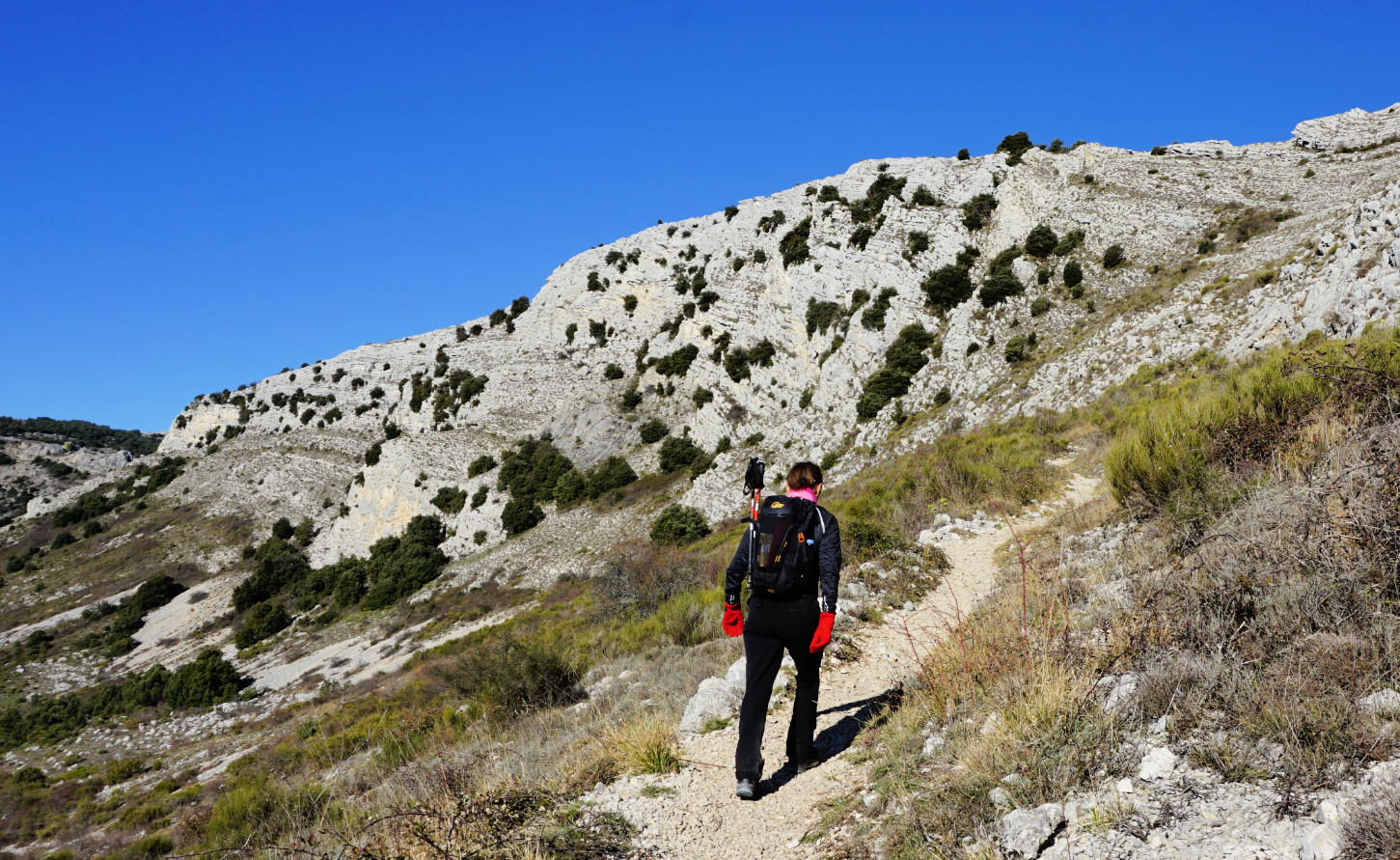

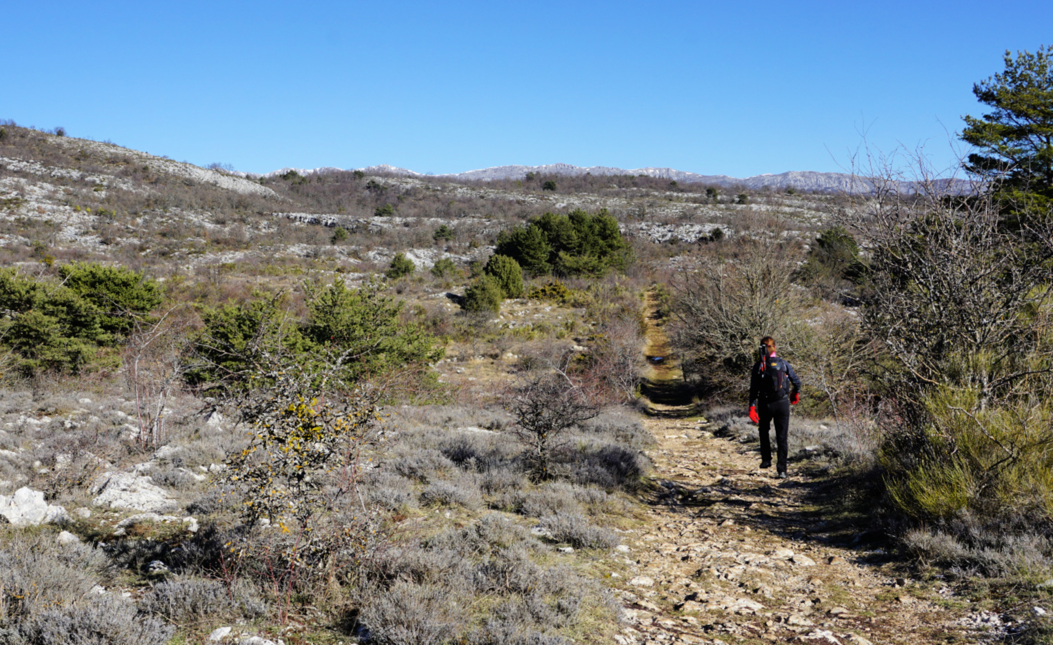

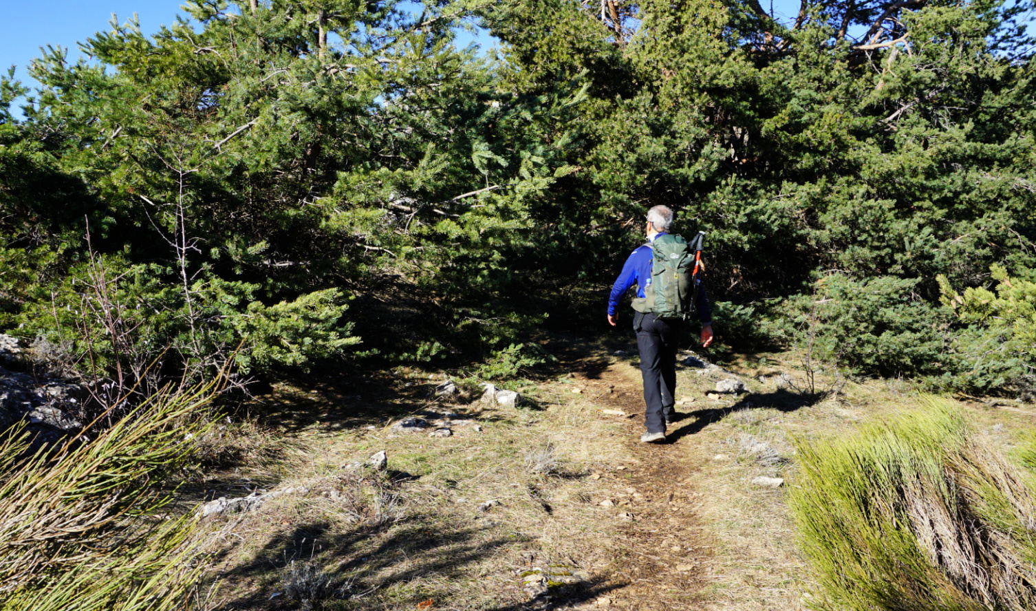


We drove to Gourdon, turned left at the village entrance taking D12 road which we followed 1.8 km as far as to a parking (840 m elev.) on the right-hand side of the road. From the parking (signpost #12), it took us less than 30 min. to reach the western Col de Cavillore (1030 m elev.). We headed north on Plateau de Cavillore and soon merged with the GR51 trail (signpost #11). We followed the GR51 as far as to the next crossroads at signpost #163 where we forked left.
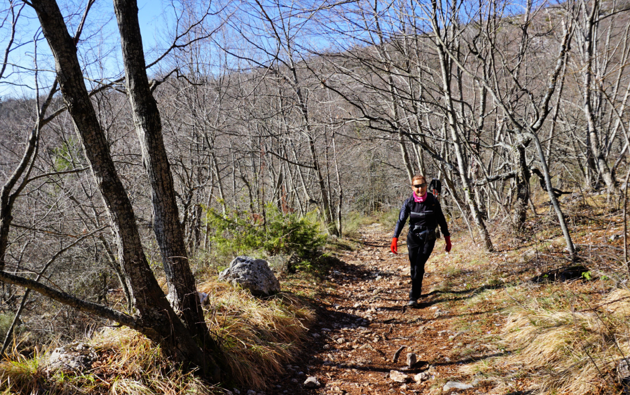
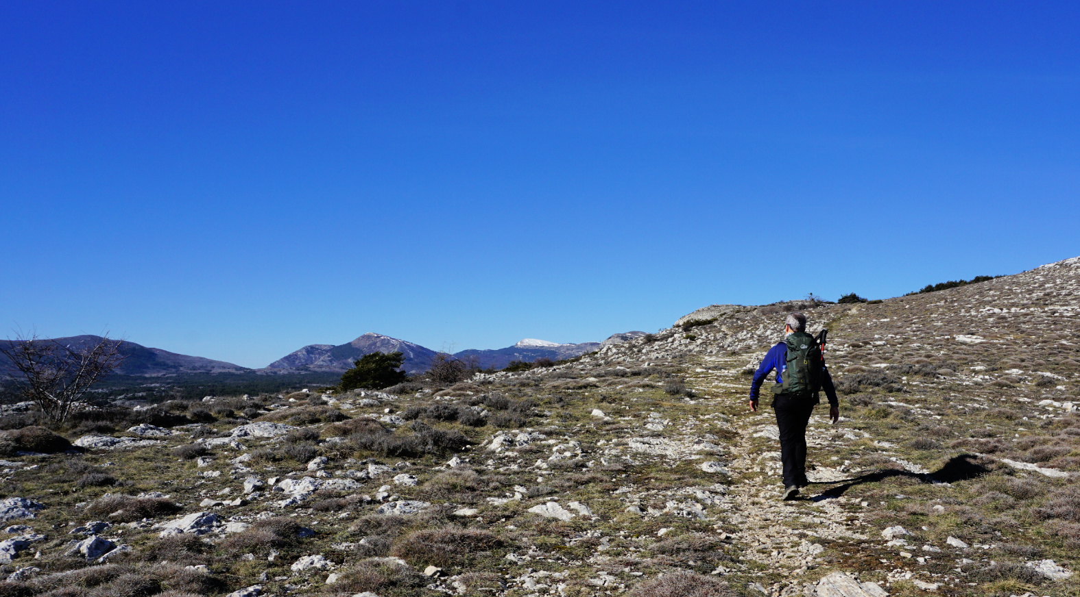
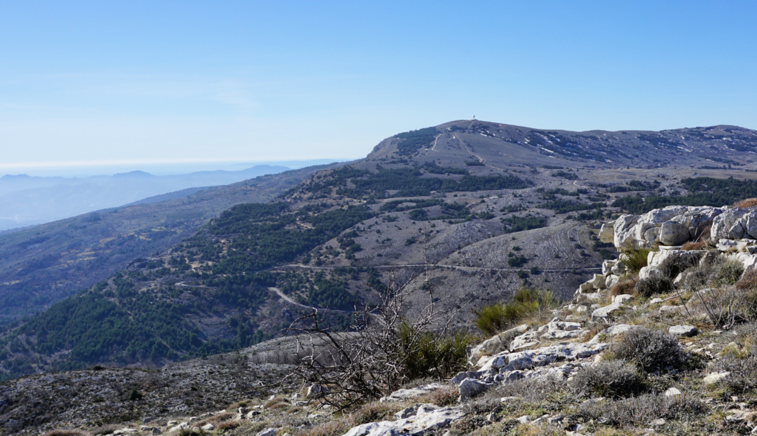
We ascended along the wide eastern slope of the ridge to signpost #46. This is where we ascended to from the Caussols Plateau on our previous hike. We continued along the ridge, still climbing a bit more. The familiar cairn on top of Colle de Rougiès became visible. Fortunately, the winter day remained clear, and the scenery was super!
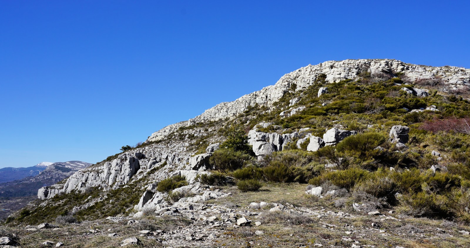
We returned along the same trail. There are several avens, or pit/sink holes in this limestone terrain, one just beside the path. Another reason to stay on the trail!
Starting the hike from the Village of Gourdon would take about 40-45 min more each way and include about 100 m more climbing.
Duration: 4 h
Climb: 530 m
Distance: 12 km
Map: Cannes Grasse Côte d’Azur 3643 ET


0 comments:
Note: only a member of this blog may post a comment.