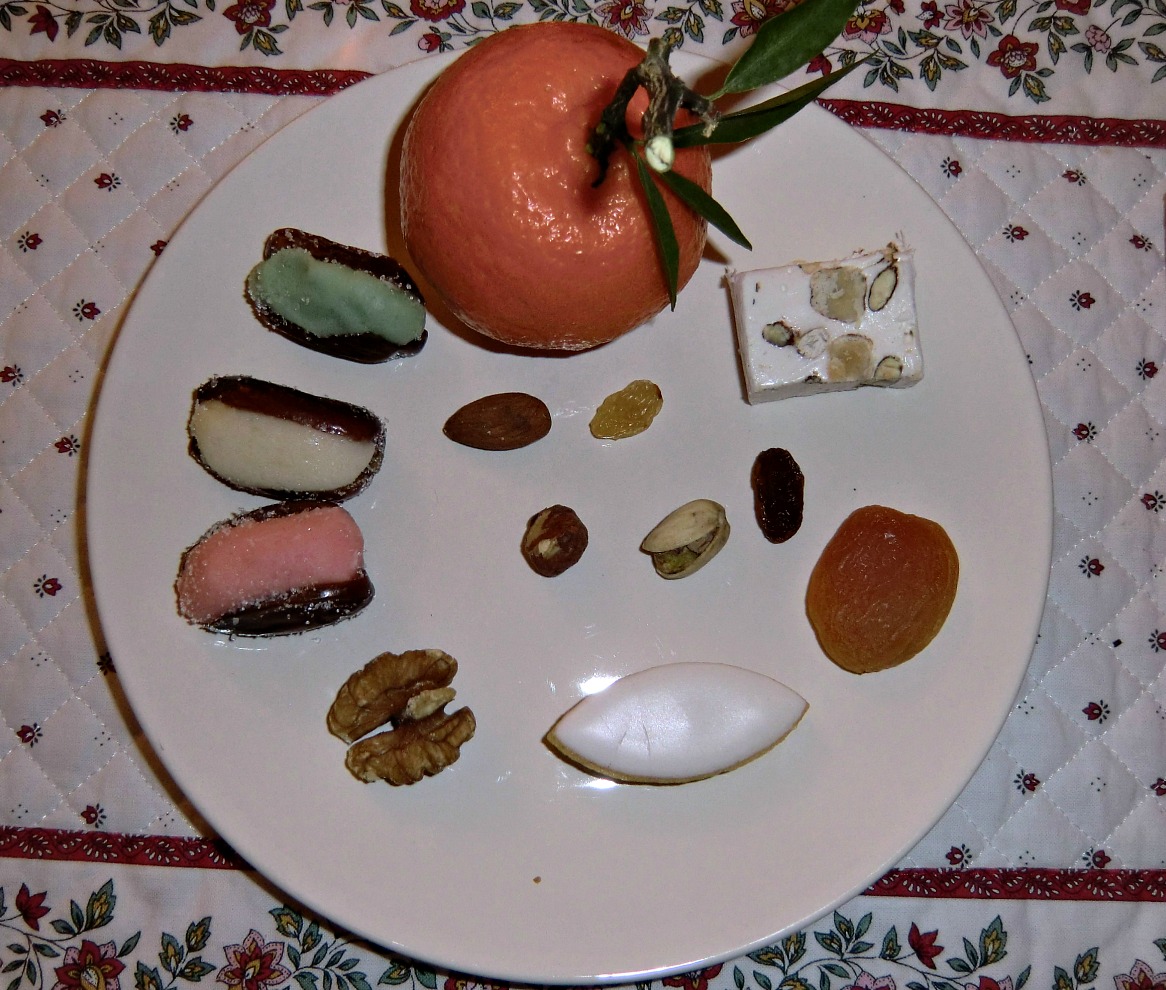
Boxing day walk above Gourdon

Haut Montet 1335 m with radar dome on summit


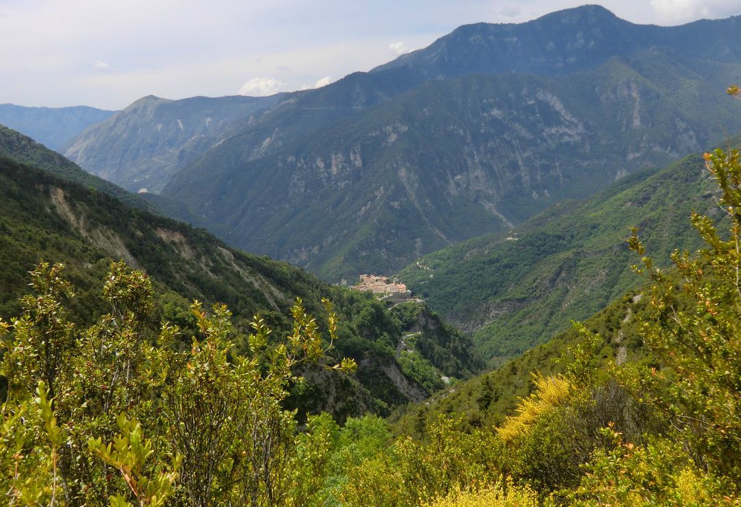
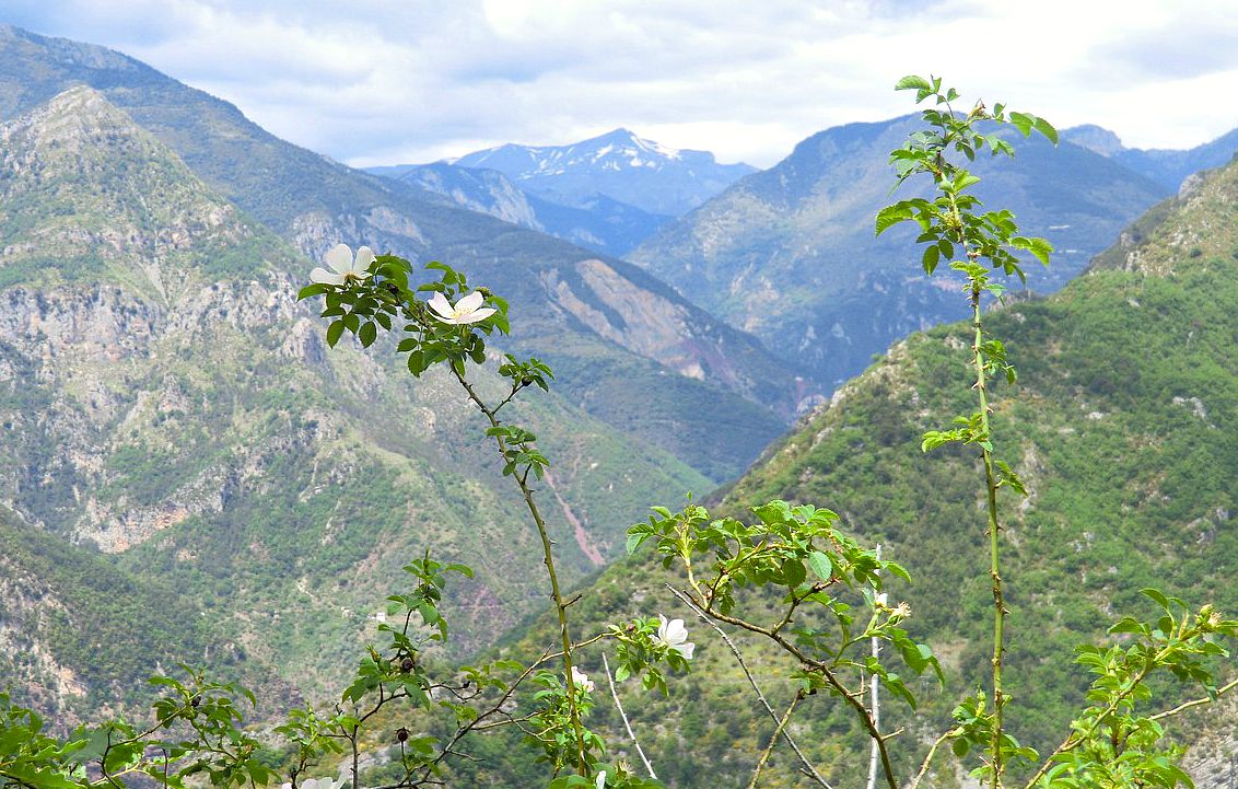
Sometimes an easy walk in fresh and clean air is all you want. This nature walk above the hilltop village of Gourdon (758 m) offers magnificent views on a clear day while the vertical climb is just 250 m.
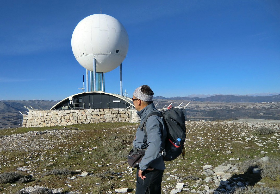
The walk starts from the parking by Chemin des Claps at 1112 m altitude. From the roundabout at the entrance of Gourdon, take the RD12 road to Caussols. Continue about 5.5 km, then turn left and follow chemin des Claps about one km. From Nice, the driving time is about an hour. You’ll see a closed gate and a stone wall, and a narrow paved road behind it leading to the summit of Haut Montet (1335 m). The civil aviation radar dome on the top is clearly visible. In fact, the dome can be seen from many places on the coast. This is also the highest point of the walk.


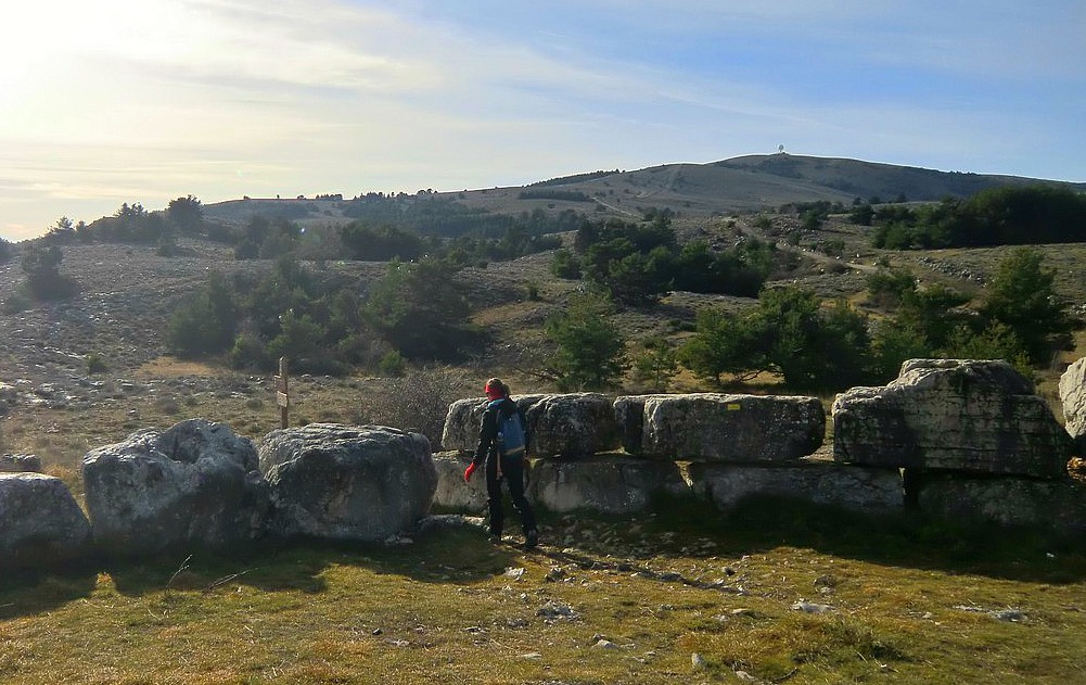
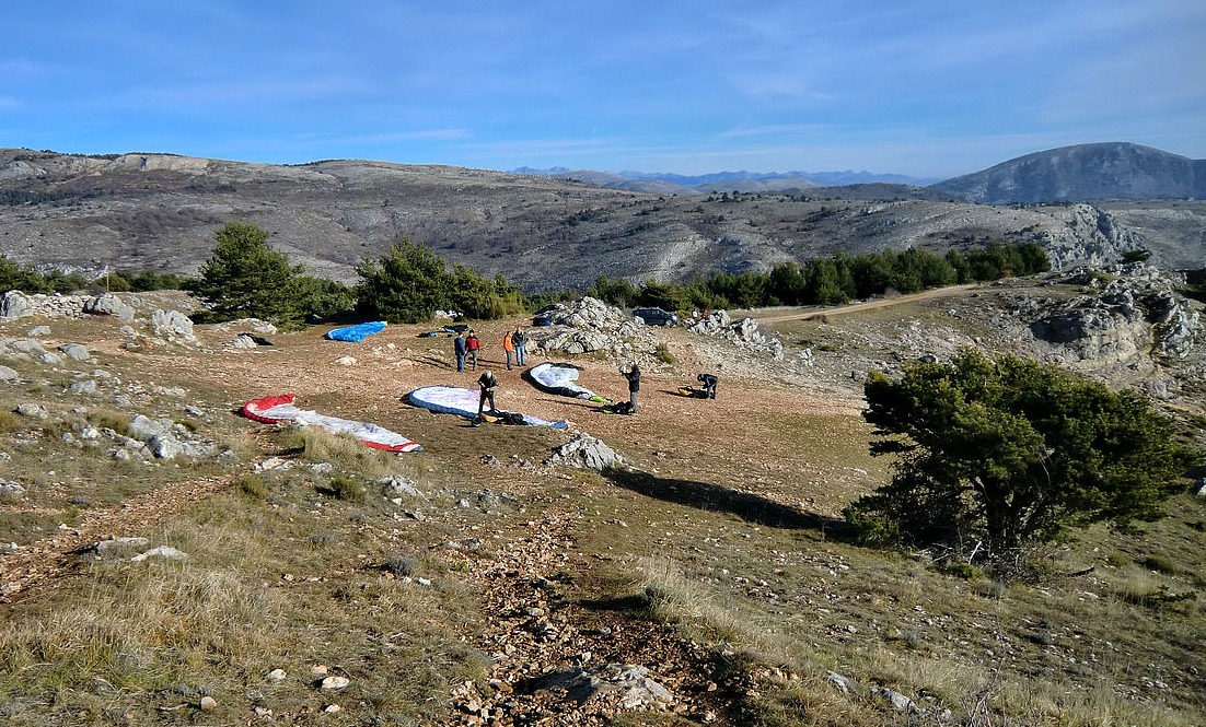
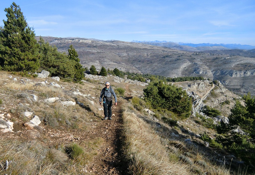
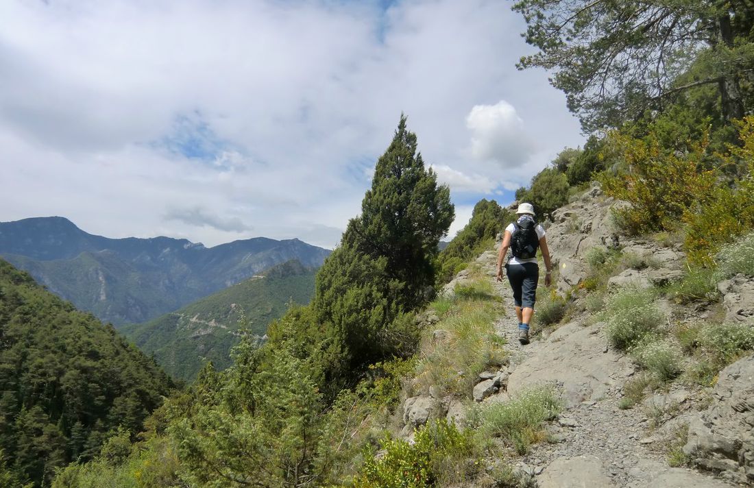
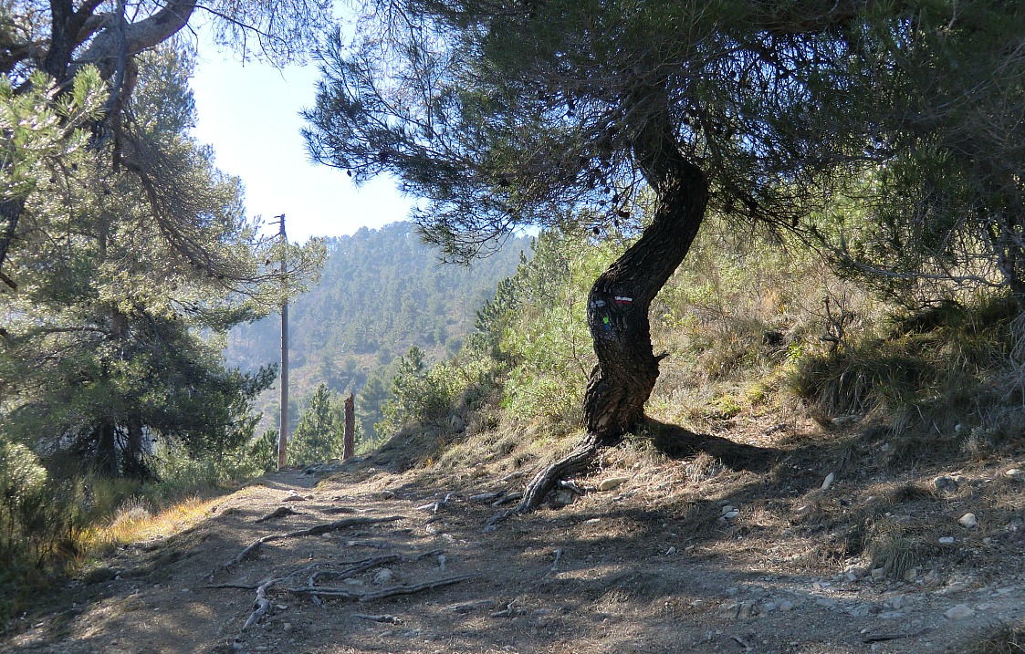
Immediately left of the closed gate there’s an opening in the wall for walkers. Follow the “Circuit du Haut Montet  2h30” signposts. The trail (yellow marks) first takes you to a ridge frequently used by paragliders. The trail ascends gently along the ridge before turning right joining the paved road up to the summit. It is an easy trail but caution should be exercised in poor visibility, and of course in icy and wintery conditions.

We did the walk on a clear albeit a bit hazy day. When we reached the summit, the Mercantour peaks were actually better visible than the coast.

Descend back to the starting point along the paved road.


Duration: 2h30


Map: IGN Cannes-Grasse TOP 25 no 3643 ET


Map image courtesy of Google Maps

0 comments:

Note: only a member of this blog may post a comment.

Our French Nordic Christmas menu

Oysters Claire nr 2

Over the years our Christmas menu has evolved to include the best of French and Nordic flavours. Christmas Eve´s menu is French with a South of France twist. The French have their Réveillon, the traditional dinner after the Midnight Mass, but we have our dinner at the usual time.


The dinner starts with oysters. Our French daughter-in-law taught us to open oysters, and they have since been our first course at Christmas Eve.

The main course is Le foie gras poelée, sauce safranée et à l’orange, pain de campagne et de la salade verte. This is not as complicated as it sounds. It is simply slices of raw foie gras which are quickly fried in a hot dry pan and served over country bread slices with two different sauces and a green side salad. Champagne or crèmant sparkling goes beautifully with both dishes.

Treize desserts, thirteen desserts, is a very old ritual in the South of France. The thirteen desserts represent Christ and the twelve apostles. These desserts used to be very simple and modest; in the Provencal countryside they could be just thirteen different dried fruits and nuts. In Nice, fresh seasonal mandarins were served as well as candied fruits. Dark and white nougat and calissons d’Aix were also usually served.

Christmas Day’s menu starts with smoked salmon and dark green baby salad leaves with olive oil and vinegar dressing. A glass of champagne or crèmant is enjoyed with the first course.

This is followed by oven-cooked pork tenderloin with mustard, potato-carrot gratin and Brussels sprouts. The huge Nordic Christmas ham steak is too much for a small party, and is replaced by pork tenderloin. Red wine from Luberon is our preferred choice with the main course.

For dessert we have pears poached in red wine and decorated with pistachios and dark chocolate shavings.

The leftovers of the potato-carrot gratin go very well with duck breast on Boxing Day. This is a simple and quick to cook dinner after a winter hike.

0 comments:

Note: only a member of this blog may post a comment.

Frittata recipe with ham, spinach and green beans

Frittata recipe


Frittata is an egg-based dish similar to an omelet. The word frittata is Italian and means fried. Frittatas are cooked in a cast iron pan or ovenproof skillet because they are started on the stovetop and then finished in the oven.

Various vegetables, cheeses and meats can be added to frittatas. They make a nice lunch or a simple dinner
served with a side salad and some good bread.

In my frittata, I prefer spinach, onion, green beans and a dash of garlic which I think go very well with eggs. But you can choose what you prefer or find in the pantry. In the South of France they make an egg-dish with truffles during the truffle season.

4 servings

2 tbsp olive oil
2 tbsp butter
1 onion, chopped
1 clove garlic, minced
About 250 g / 9 oz green beans, chopped
About 2 handfulls baby spinach
About 250 g / 9 oz ham, chopped
About 110 g / 4 oz shredded mozzarella
12 free-range eggs
Freshly ground black pepper
Minced basil or parsley to decorate

Preheat the oven to 200⁰ C / 400⁰ F.

Over medium heat, warm the olive oil and butter in an ovenproof skillet. Sauté the chopped onion, green beans and minced garlic for about 10 minutes until softened. Add the chopped ham in the skillet and place the spinach on top of the ham. Whisk the eggs with black pepper. Add the mozzarella to the eggs and mix. Pour this mixture on top of the spinach.
Frittata with ham, spinach and green beans

Transfer the skillet in the oven and bake for about 25 minutes until the eggs have set. Slice the frittata into four wedges and transfer on the plates. Decorate with parsley or basil.


0 comments:

Note: only a member of this blog may post a comment.

Hike from Marie in the Tinée Valley

The village of Marie in the Tinée Valley


Hiking in the Moyen Pays is at its best in the end of May and early June when the nature is awakening to summer but it is not yet too hot at lower altitudes. Autumn is great as well, but you should then choose a day when hunting is not allowed!

The following hike starts from the well-maintained village of Marie (600 m), about 50 km from Nice. The village and its surroundings are said to be influenced both by the Mediterranean Sea and the nearby Southern Alps. The sinuous and narrow D58 ascends from the D2205 road to the village. Park your car at the village entrance.

The first signpost is located just before the parking. The start of the trail is paved and well marked with yellow. Follow the signposts that show Pointe de Clamia (887 m), the mountain to be circled on this hike. You are soon ascending in the magnificent pine forest called Lauzette towards the Pointe de Clamia. The col next to the mountaintop is the highest point of the hike (860 m). This is a good spot for a break, and has nice views down to the Tinée valley.
The peculiar shape of Mont Mounier (2817 m), partly snow-capped, can be seen in the distance.


Image of trail around Pointe de Clamia
The trail now descends sharply to north. At the crossroads, turn left to La Bollinette. Don’t go as far as the Bollinette (by the D2205 road) but at the crossroads choose the path back to Marie. The path eventually joins the D58 road about 2 km before the village. Ascend back to the starting point along this quiet road.

This is a truly relaxing and easy hike in the “middle country”, a bit off the beaten track if you like!

Total hiking time:       3 hours
Total ascent:                430 m

More info in French in the Randoxygène guide   


Map: IGN Moyenne Tinée 3641 ET


Image of trail courtesy of Google Maps


0 comments:

Note: only a member of this blog may post a comment.

Caïre Gros above St-Dalmas Valdeblore

Caïre Gros 2087 m

There are some easily accessed mountains at the entrance to Haut Pays from which you have a super panorama to the highest peaks of Alpes Maritimes. Le Caïre Gros (2087m) and Tête de Clans (2081m) above the village of St-Dalmas Valdeblore (1290m) and the nearby the ski resort of La Colmiane are two such summits.

Some guidebooks describing the hike to Le Caïre Gros recommend to take the trail back to St-Dalmas Valdeblore through the Bois Noir. Having done this hike previously, and lost our trail twice in the woods of Bois Noir, we suggest here a much nicer path with better views back to St-Dalmas Valdeblore. In good visibility you can easily do two summits by continuing from Le Caïre Gros to Tête de Clans. This requires practically no extra effort.


In St-Dalmas Valdeblore, park your car near the church. There is a small parking on the other side of the main road. The hike starts from the nearby signpost #78. Follow first the Grande Randonnée 5 and its red and white signs up to the Col de Deux Caïres (1910m). This first part is almost continuous and rather steep long ascent.

At signpost #99 leave the GR 5 and start ascending to the Caïre Gros (2087m). There a super panorama waits for you. You can see Mont Mounière, Argentera, Gélas…in fact many of the 3000+ summits!

After the summit, descend a little to south along the ridge. Climb a few meters to the Tête de Clans (2081m). Continue a bit more to south until you come to a nice alpine meadow, locate signpost #101 on the GR 5 trail a bit lower. Descend along the meadow to this signpost, and head north along the GR 5.

Follow the GR 5 as far as to signpost 98 after the Col du Varaire. There leave the GR 5 and take the right-hand path towards La Colmiane. This trail is marked with yellow signs. Follow this nice path, crossing twice a ski run, to signpost #94. There turn left and start first descending along a ski run, then along a stony unpaved road which will soon take you back to the starting point at signpost #78.

We did this hike in the middle of October on a warm and sunny day with just some scattered clouds.

Total ascent: about 850- 900 m.
Total hiking time: about 5h.
Map: IGN 3641 ET Moyenne Tinée

0 comments:

Note: only a member of this blog may post a comment.

Quinoa salad recipe

Quinoa salad recipe


Quinoa is a gluten free grain which originates from the Andean region of South America. Quinoa has been called “Mother grain” or superfood because of its high protein content and favourable amino acid profile. Quinoa has become popular in the Western countries as there is growing interest in gluten free and vegetarian diets.

The following recipe is an old favorite in our family when we want to have a healthy and light lunch. You can boost the protein content of this lunch by adding crumbled goat cheese on the salad or by having some fromage blanc or yoghurt with berry sauce.

Even in Mediterranean countries good fresh basil is not available in winter. Here in Nice pistou is then used. Pistou is simply crushed basil leaves with salt in olive oil and is similar to the better known Italian pesto. In winter, the tasteless and pale tomatoes are traditionally replaced by sundried tomatoes packed in olive oil. For this recipe, try to find Italian sun dried tomatoes in olive oil because they have the best taste and consistence.

 2 servings

120 ml uncooked quinoa
1 green bell pepper
1 red bell pepper
8 black olives
1 shallot
4 sundried tomatoes, in olive oil
A handful of chopped parsley
Baby salad leaves

For the dressing:

3 tbsp olive oil
1 tbsp red-wine vinegar
2 tsp pistou, Le Basilic du Provencal  (or pesto)
1 tsp Dijon mustard
Freshly ground black pepper

Rinse the quinoa under running water and cook for 20 minutes in 240 ml water.  Transfer to a large bowl and let cool.

Wash and dry the bell peppers. Cut them into small pieces discarding all he seeds and the inner white parts. Add to the bowl.
Peel and mince the shallot. Add to the bowl.

Finely chop the sun dried tomatoes and add to the bowl.

Remove the stones from the olives. Cut the olives into quarters and add to the bowl.

Add the chopped parsley to the bowl and mix everything.

In a small bowl, make the dressing by whisking together the olive oil, red-wine vinegar, pistou and Dijon mustard. Grind a few rounds of black pepper. Add the dressing to quinoa mixture and toss together.

Place the quinoa salad on the centre of the plates and surround with baby salad leaves.


0 comments:

Note: only a member of this blog may post a comment.

Aspremont to Mont Cima

Descending along the ridge from Mont Cima

The well-to-do and friendly village of Aspremont (parking at 490 m) is a good starting point for several nice day hikes. We have previously described the ascent to Mont Chauve (853m). Today’s goal is Mont Cima (878m) north of Aspremont.


In spite of the modest altitude, Mont Cima offers a splendid panorama and three viewpoint indicators, table d’orientation, to help you to locate the summits of Mercantour and Moyen Pays. The ascent to Mont Cima starts in the centre of Aspremont in front of the Mairie. The first part is GR5, Grande Randonnée 5, which connects Aspremont with Levens. Follow the GR5 trail marked with red and white signs as far as to the high-voltage power line. At this point, leave the GR5, turn left and start ascending along a narrow unmarked path up to a nearby clearing called collet de l’Eurier where you will find the signpost to Mont Cima. The well visible trail marked with yellow signs zigzags to the summit. After admiring the panorama start descending along the ridge to north. The trail soon turns northeast descending more steeply before joining GR5 again. At this point, turn right and follow the GR5 trail back to Aspremont.


Image of trail to Mont Cima
The hike was done on a gorgeous February day. The total walking time is rather short, and the elevation gain moderate. Visiting the hilltop village of Aspremont itself is warmly recommended!

Total hiking time: about 3 h.
Total ascent:         about 450m.
Map: IGN Nice Menton 3742 OT


0 comments:

Note: only a member of this blog may post a comment.

Cime du Pisset above Boréon

Goats on the trail to Cime du Pisset


Ascending from the upper parking of Boréon


Cime du Pisset (2233 m) is one of the lesser known summits in Mercantour National Park. It offers nevertheless a magnificent view over the higher summits nearby such as Gélas, Malédie, Caïres de Cougourde etc. In winter, the trail to the summit is one of the snowshoeing itineraries.
Caïre de Cougourde seen from the trail


It takes about 1h 20 (70 km) to drive to Boréon from Nice. Drive past the reception building, turn right and continue 1,6 km to the lower parking (1610 m elev.). The upper parking is at 1660 m, but the last part of the road is unpaved with a lot of deep potholes.
Midway to Pas de la Maïris from Boréon

Sheep flock on the way to Cime du Pisset


Walk past the cowsheds to the upper parking, where you enter the Mercantour National Park and see signposts showing several itineraries. Follow the main cobbled path a few hundred meters. Here, the trail to Cime du Pisset forks right at signpost # 421. The trail marked with yellow ascends steeply in the woods to signpost # 432 and further to Pas de la Maïris above the tree line (1h 20, 2106 m elev.). The undulating mountaintops on the ridge comprise mainly alpine meadows. The signpost # 431 is the crossroads either to our goal today, down to the next valley (Madone de Fenestre), or west to Cime de Piagu and further. For Cime du Pisset, turn left (east) and follow the well visible path that soon starts ascending. Most of the climbing is already done; the last part ascends only about 130 m or so to the grassy summit.
The gentle trail ascending to Cime du Pisset Gélas in background

Back to Boréon from Pas de la Maïris


If you meet a sheep flock on the trail, step aside and wait for it to pass. The shepherds have full control over the sheep dogs and will tell you when you can continue.

Even on a partly cloudy day, and in spite of the “modest” altitude, the scenery is fantastic. It is a perfect spot for a break & picnic, too. Return along the same trail.

Cime du Pisset trail image
Climb:  630 m

Duration:          3h 15


Map:                IGN 3741 OT Vallée de la Vésubie


Image of trail courtesy of Google Maps

0 comments:

Note: only a member of this blog may post a comment.

Rabbit with carrots

Rabbit with carrots


Rabbit has traditionally been as familiar on the table as chicken or duck in the Mediterranean countries. Lapin à la moutarde, rabbit with savory mustard sauce, is a very typical French recipe.

The following simple recipe is a twist of this French classic. Somehow the carrots, fresh thyme, rabbit and grainy mustard, moutarde à l’ancienne, wonderfully complement each other in this recipe.

Rabbit is very low in fat. For convenience I have used rabbit fillets which are easy to cut into smaller chunks. The recipe can also be made of skinless chicken breast cut into smaller chunks.

2 servings

About 300 g rabbit fillets, cut into about 2,5  x 2,5 cm chunks
3 carrots, sliced
1 medium onion, chopped
1 clove garlic, minced
2 tbsp rapeseed oil
1 ½ tbsp grainy mustard, moutarde à l’ancienne
200 ml chicken stock
50 ml white wine
A small bouquet of fresh thyme
2 bay leaves
Freshly ground black pepper

Slice the carrots and microwave until almost soft.

Wash and dry the thyme and remove the leaves from the sprigs.

Preheat the oven to 180⁰ C.

In a heavy casserole warm the rapeseed oil over medium heat. Cut the rabbit fillets into smaller chunks. Peel and chop the onion, peel and mince the garlic. Add the rabbit, onion and garlic in the casserole and fry for about 10 minutes stirring frequently until the rabbit chunks are golden brown on all sides. Add the white wine, carrots, mustard, black pepper and chicken stock. Add half of the thyme leaves, save the rest for the decoration. Stir and transfer the casserole to oven for 40 minutes.

Serve with new potatoes and Brussels sprouts or green beans. Decorate with fresh thyme leaves.

0 comments:

Note: only a member of this blog may post a comment.

Col de Fenestre

Ibex (bouquetin) near Col de Fenestre

Col de Fenestre (2474 m), the mountain pass at the Italian border above Madone de Fenestre is ideal for spotting ibex(Bouquetin). These nearly became extinct and were reintroduced to Mercantour from Grand Paradiso on the Italian side. Every time we have visited Col de Fenestre we have seen ibexes that were half-tame and very easy to photograph.

Trails ascending from Madone de Fenestre (1903 m) are very popular. You are surrounded by the highest peaks in the region, including Cime du Gélas (3143 m). Driving time from Nice is about 1h 20/ 71 km, first to St-Martin-Vésubie from where the narrow paved road climbs to Madone de Fenestre.


Image of trail from Madone de Fenestre to Col de Fenestre

Col de Fenestre was already known by the Romans, and later became an important route between Savoy and Piemonte. Remains of military bunkers (all built by the Italians) from the early 20th century can be seen on both sides of the mountain pass. It is now at the border of the two countries. Before 1947, it belonged to Italy. It was one of the escape routes used by Jews escaping the Nazis from Nice in September 1943.

The trail from Madone de Fenestre ascends along the GR52 trail to signpost #368, then forks right and continues to Lac de Fenestre (2266 m) and further to signpost #369 just below the mountain pass. It is an easy ascent all the way. One can return along the same trail or take the trail from signpost #369 to Pas des Ladres (2448 m) to signpost # 428 then return along the GR52 trail back to the starting point.

Duration: 3 h (4 h via Pas des Ladres)
Vertical climb :    570 m (660 m via Pas des Ladres)
Map : IGN 3741 OT Vallée de la Vésubie
Info in French, via Pas des Ladres (Guide Randoxygéne)
Image of trail courtesy of Google Maps

0 comments:

Note: only a member of this blog may post a comment.