Cime du Pisset above Boréon
Cime du Pisset (2233 m) is one of the lesser known summits in Mercantour National Park. It offers nevertheless a magnificent view over the higher summits nearby such as Gélas, Malédie, Caïres de Cougourde etc. In winter, the trail to the summit is one of the snowshoeing itineraries.
It takes about 1h 20 (70 km) to drive to Boréon from Nice. Drive past the reception building, turn right and continue 1,6 km to the lower parking (1610 m elev.). The upper parking is at 1660 m, but the last part of the road is unpaved with a lot of deep potholes.
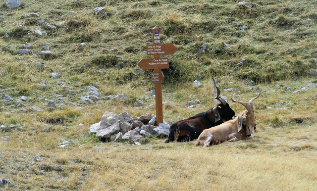
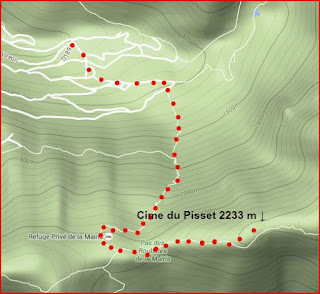
Walk past the cowsheds to the upper parking, where you enter the Mercantour National Park and see signposts showing several itineraries. Follow the main cobbled path a few hundred meters. Here, the trail to Cime du Pisset forks right at signpost # 421. The trail marked with yellow ascends steeply in the woods to signpost # 432 and further to Pas de la Maïris above the tree line (1h 20, 2106 m elev.). The undulating mountaintops on the ridge comprise mainly alpine meadows. The signpost # 431 is the crossroads either to our goal today, down to the next valley (Madone de Fenestre), or west to Cime de Piagu and further. For Cime du Pisset, turn left (east) and follow the well visible path that soon starts ascending. Most of the climbing is already done; the last part ascends only about 130 m or so to the grassy summit.
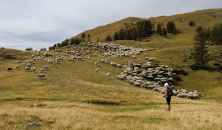
If you meet a sheep flock on the trail, step aside and wait for it to pass. The shepherds have full control over the sheep dogs and will tell you when you can continue.
Even on a partly cloudy day, and in spite of the “modest” altitude, the scenery is fantastic. It is a perfect spot for a break & picnic, too. Return along the same trail.
Duration: 3h 15
Map: IGN 3741 OT Vallée de la Vésubie
Image of trail courtesy of Google Maps


0 comments:
Note: only a member of this blog may post a comment.