

Aspremont to Mont Cima

The well-to-do and friendly village of Aspremont (parking at 490 m) is a good starting point for several nice day hikes. We have previously described the ascent to Mont Chauve (853m). Today’s goal is Mont Cima (878m) north of Aspremont.
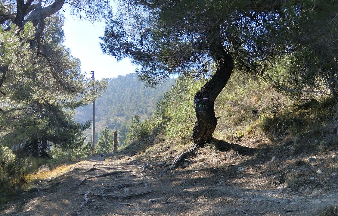
In spite of the modest altitude, Mont Cima offers a splendid panorama and three viewpoint indicators, table d’orientation, to help you to locate the summits of Mercantour and Moyen Pays. The ascent to Mont Cima starts in the centre of Aspremont in front of the Mairie. The first part is GR5, Grande Randonnée 5, which connects Aspremont with Levens. Follow the GR5 trail marked with red and white signs as far as to the high-voltage power line. At this point, leave the GR5, turn left and start ascending along a narrow unmarked path up to a nearby clearing called collet de l’Eurier where you will find the signpost to Mont Cima. The well visible trail marked with yellow signs zigzags to the summit. After admiring the panorama start descending along the ridge to north. The trail soon turns northeast descending more steeply before joining GR5 again. At this point, turn right and follow the GR5 trail back to Aspremont.


Total hiking time: about 3 h.
Total ascent: about 450m.
Map: IGN Nice Menton 3742 OT
Share story


0 comments:
Note: only a member of this blog may post a comment.