Fried small seafood and orzo


Small seafood orzo


This recipe is inspired by a lunch we once had in Bar des Oiseaux in Nice. There, the small cuttlefish was fried with cooked orzo and some rocket leaves were added to the dish. Simple but effective.

Because fresh small cuttlefish can be difficult to find I have replaced it with a small package of frozen mixed seafood, Fruits de Mer. According to the advice on the package, defrosted mixed seafood only need 4 minutes in a hot frying pan. If you cannot find orzo, you can replace it with similar small pasta shapes resembling large rice grains.

2 servings

Orzo for 2 servings

A small package, about 400 g, defrosted mixed seafood

1 shallot, chopped

1 clove garlic, minced

½ tsp. Piment d’Espelette or other mild chilli

3 tbsp. olive oil

2 handfuls of baby rocket leaves


Warm 2 tbsp. olive oil in a sauté pan over medium heat and cook the shallot and garlic about 10 minutes until soft but not brown. With a slotted spoon, remove from the pan and set aside. 


Meanwhile cook and drain the orzo according to the advice on the package. Set aside.


Add 1 more tbsp. olive oil in the sauté pan and increase the heat to medium-high. Cook the defrosted seafood for 4 minutes stirring frequently. 


Add the orzo and Piment d’Espelette in the sauté pan and cook for a minute or two stirring all the time until the orzo is well coated with oil. 


Add the shallot, garlic, and rocket to the pan and mix well. Divide on the plates and serve.


0 comments:

Note: only a member of this blog may post a comment.

Limone Piemonte to Cime du Bec Roux


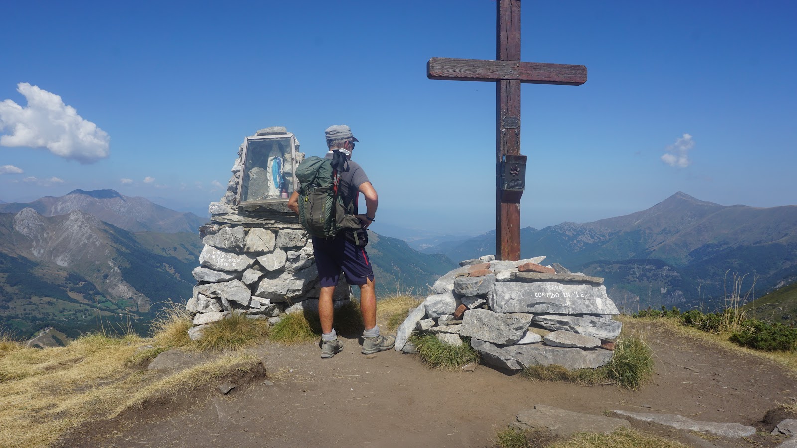
Cime du Bec Roux


Limone Piemonte (1010 m) has preserved much of its charm as an upscale Italian mountain resort.

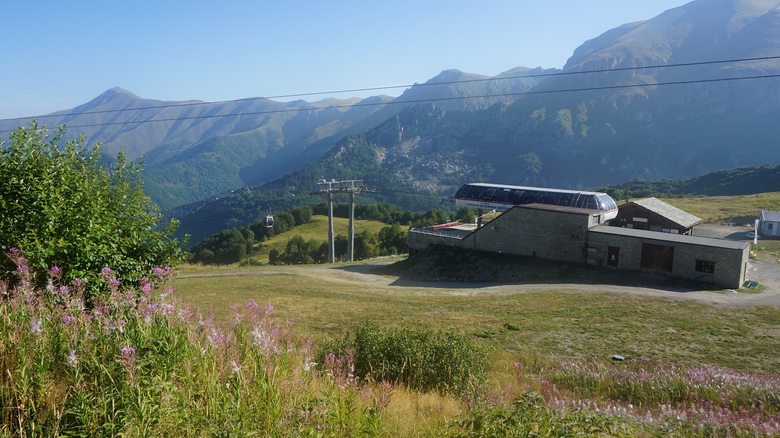
On the day of our hike, a red warning for high temperature was effective in the region. We took advantage of the Severino Bottero Gondola near our hotel.

Bottero Gondola Limone
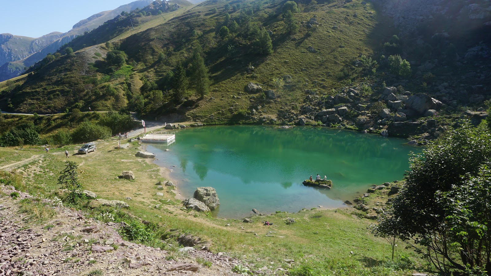
Terrasole Lake
Terrasole Lake
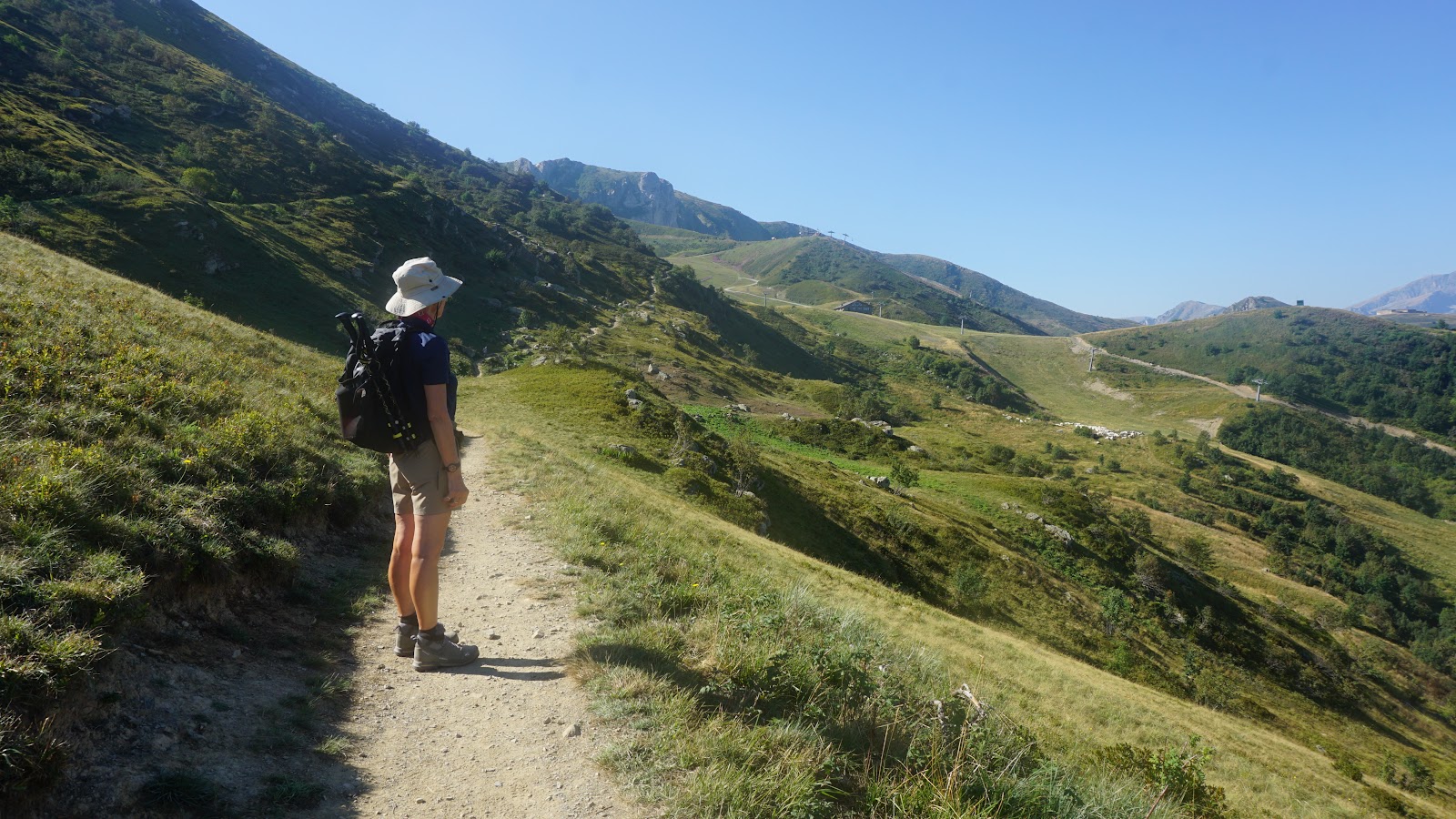
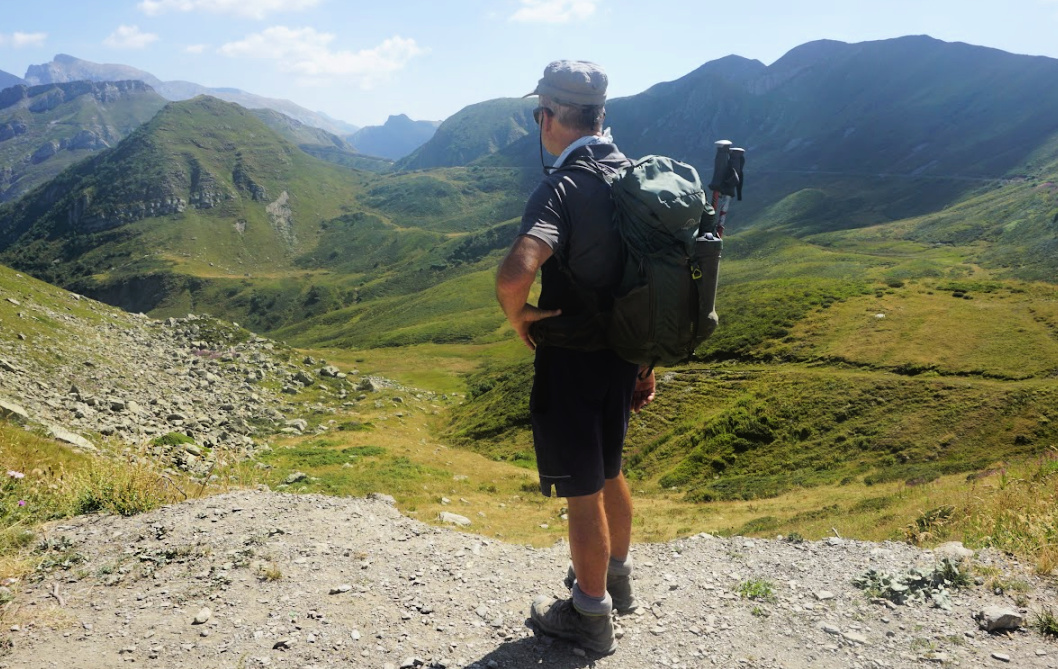
Trail after Terrasole Lake

With the gondola, we reached almost 1700 m, but with the clear skies the temperature was nevertheless soaring. Our original plan was to ascend to the French side of the border and proceed along the trail to Col de la Perle and even beyond. Because this summer’s record heatwave, we had to modify both the length and climb of the hike.

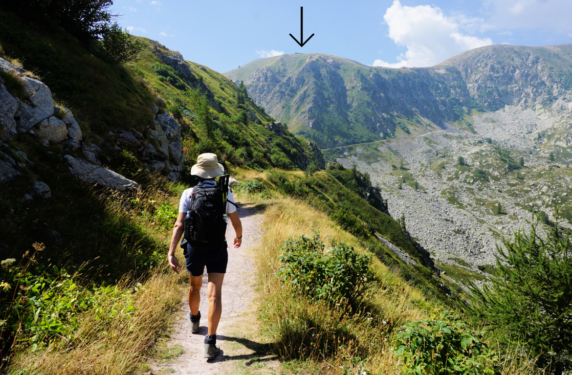
We climbed along a well-marked trail, first along ski runs then a good path to Lake Terrasole, a popular spot for picnic etc. We ascended a bit more, heading southwest outside of the ski runs before reaching a mountain restaurant called Capanna Niculin, closed for summer.


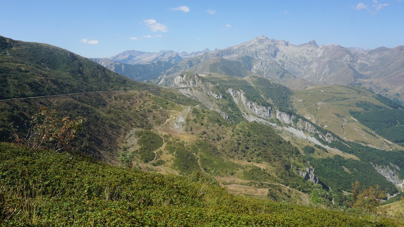
Roche de l'Abisse in morning haze
Limone slopes in summer
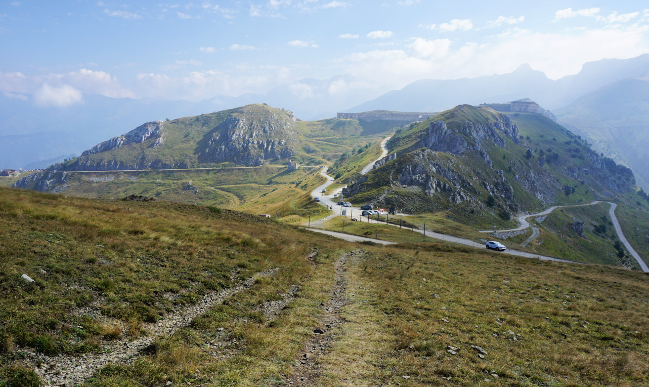
Fort Central in distance
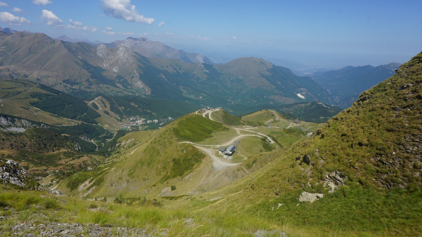
Above Baita2000
Above Baita2000

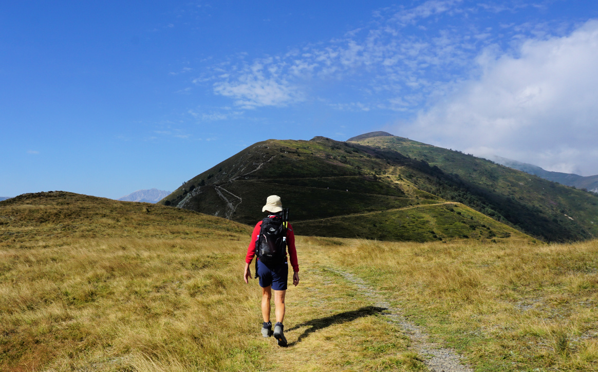
The next crossroads was above us. It was also the upper station of a chair lift running from Limone 1400. The adjacent restaurant Baita 2000 was open. The Upper Salt Road (Alta Via del Sale) ran here, and the day was busy. We were able to hike a bit along a path before joining the dusty dirt track shared by 4X4s, motorcycles, MTBs and hikers. We reached the Campanin Pass (2142 m), still on the Italian side. We exited the dirt road, and hiked southwest to the nearby border where we ascended to Cime du Bec Roux (2214 m) with a cross overlooking Limone. 

We decided to make this our turning point, and returned to the Bottero Gondola, taking some shortcuts along the ski runs.


Upper Salt Road
Upper Salt Road
Campanin Pass 2142 m

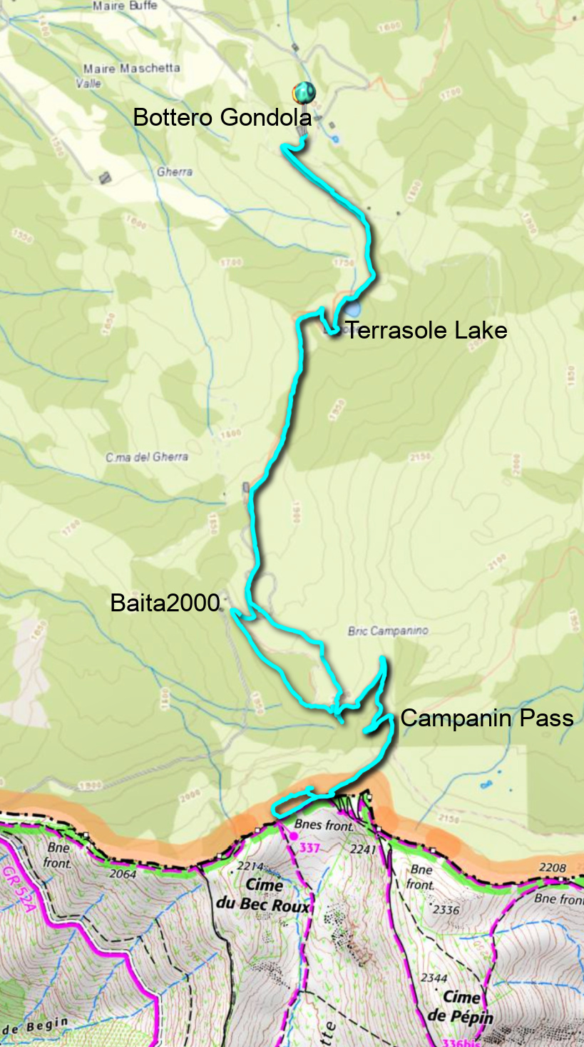
Distance: 9,4 km
Climb: 560 m 
Duration: 4h 15

Limone to Cime du Bec Roux track


0 comments:

Note: only a member of this blog may post a comment.

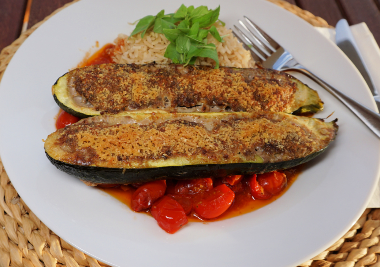
Stuffed courgettes

Stuffed courgettes

Small stuffed vegetables, Petits farcis, are a classic dish in Nice. But you can also choose to stuff larger vegetables one type at a time. The following recipe with a  red wine and tomato sauce is perfect to make in autumn when we start craving dishes with stronger and more full-bodied tastes.

2 servings

about 250 g very lean ground beef, pref. 5% fat

2 courgettes 

A handful of cherry tomatoes

1 shallot, chopped

1 clove garlic, minced

1 tsp. dried Provençal herbs

150 ml red wine

Olive oil

1 tbsp. tomato paste

1 tbsp. grated parmesan

1 tbsp. dried bread crumbs

1 egg

Freshly ground black pepper


Wash and dry the courgettes. Cut them in halves lengthwise and empty them with a melon scoop.


Make the stuffing by mixing the ground beef with egg, shallot, garlic, herbs, 2 tbsp. olive oil, and some ground black pepper.


Wash and halve the cherry tomatoes. Mix the tomato paste with the red wine.


Preheat the oven to 190° C, bake.


Spread 1 tbsp. olive oil in the bottom of an oven-proof dish. Pour the cherry tomato halves and the red wine- tomato- paste mixture in the dish.


Divide the stuffing in the courgettes and place them in the dish.


Mix the grated parmesan with the dried bread crumbs. Divide the mixture on top of the stuffing and sprinkle with some olive oil.


Cook in the oven about 45 minutes until the courgettes are soft. Then roast for 10 minutes in 210° C until the stuffing is golden brown.


Serve the stuffed courgettes with the tomato sauce and some brown rice.


0 comments:

Note: only a member of this blog may post a comment.

Limone Piemonte: Hike to Fort Giaure

Fort de Giaure in sight


According to some historians, the first road over the mountain pass of Tende, Col de Tende, was constructed by Phoenicians and later maintained by Greeks and Romans.

In the 19th Century, numerous forts were erected on both sides of the col by the Italians to protect the Piemont Region. By the end of the 19th Century, a road and railway tunnel was constructed.

Col de Tende
Col de Tende
Near Col de Tende
Near Col de Tende
Fort de la Marguerie

After the devastating storm Alex in October 2020, both the road and rail connections were  cut, and the road tunnel remains closed. Now it is possible to reach the pass by car from Casterino on the French side using a narrow unpaved road best suitable for 4X4s. All the others driving from Alpes Maritimes need to circle via Col de la Lombarde  above Isola2000 (as we did) or take the longer coastal route via Imperia and Cuneo to reach Limone.

Having Limone as our base, we drove up along a paved road to Col de Tende, Passo della Tenda (1871 m). It was a busy day, and the dirt track to Casterino was used by numerous motorists including jeep safari groups. We parked at the col proper a few 100 m past Chalet le Marmotte.


Under Fort Pernante
Under Fort Pernante
Fort Pernante
Fort Pernante
West of Fort Pernante
Roche de l'Abisse
Roche de l'Abisse

Having hiked to the east from the col some years ago, we now wanted to explore the itinerary to the west as far as to Fort de Giaure (2254 m).

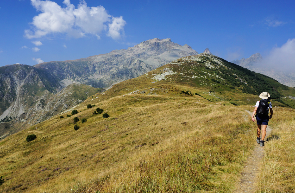
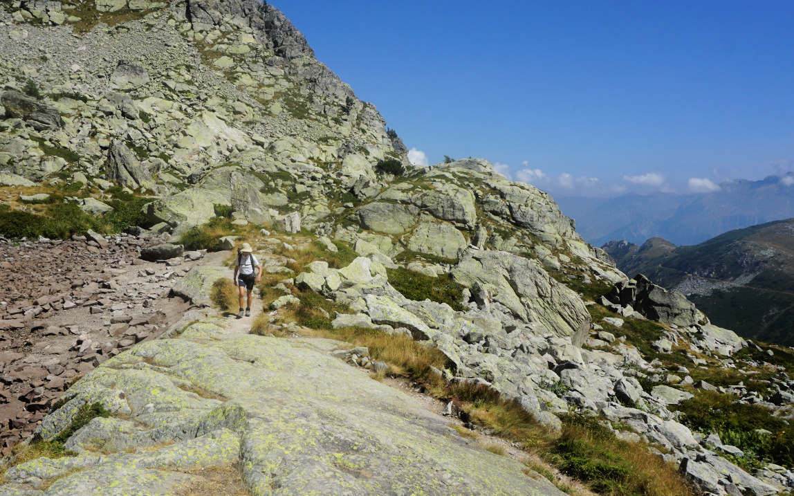
From the col (signpost #340 on French maps), we climbed straight to Fort Pernante (2119 m) along a narrow trail apparently marked for mountain bikers as well. Fort de la Marguerie was well below us, next to the Casterino dirt road. All the fortresses are today on the French side of the border. We descended a bit, and hiked along the southern flank of Cime de Salante.

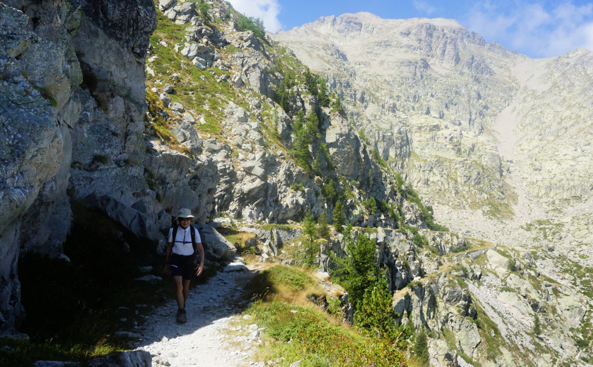
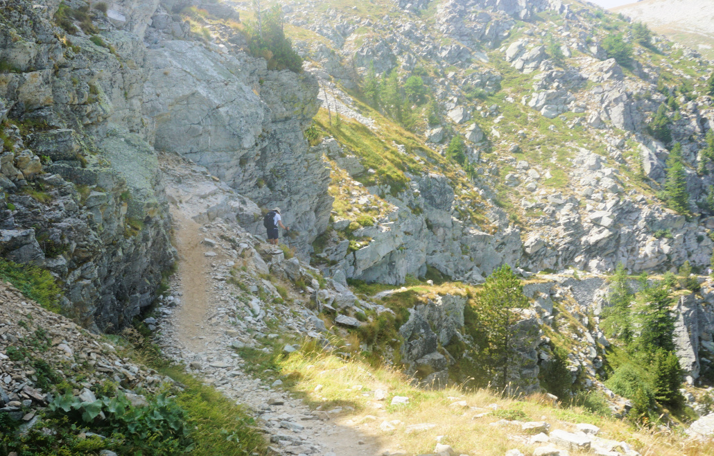
Our goal was visible in front of us, its northern flank very steep and rocky. Maps advise to use the wide zigzagging old military trail. However, we came to a sign showing “itineraire”. The original trail was blocked by a rock slide higher up. We followed the instructions, and had to negotiate some rocky stretches here as well before reaching a small lake, now dry. We turned southeast and merged with the main trail above the rock slide. Some parts before the fortress were narrow and exposed. At one point, a wire rope was installed.

From the fortress, the panorama was excellent to both countries. From signpost #380 west of the fort, one trail descended down to Casterino while the other one ascended up to the nearby Roche de l’Abysse (2755 m).


Detour to Fort de Giaure
Detour trail higher up
Exposed part of trail Fort Giaure
At Fort de Giaure
At Fort de Giaure
Narrow trail near Fort de Giaure

On the way back, we first used the same trail then a smooth quasi horizontal trail circling north of Cime de Salante then north of Fort Pernante before descending back to our starting point.


Distance: 11,5 km
Climb: ~500 m (inaccurate elevation data from two apps)
Duration: 4h 30
Map: 3841 OT Vallée de la Roya

Fort de Giaure hike track


0 comments:

Note: only a member of this blog may post a comment.