Allos: Col d'Encombrette

Lac d'Allos viewed from trail to Col d'Encombrette


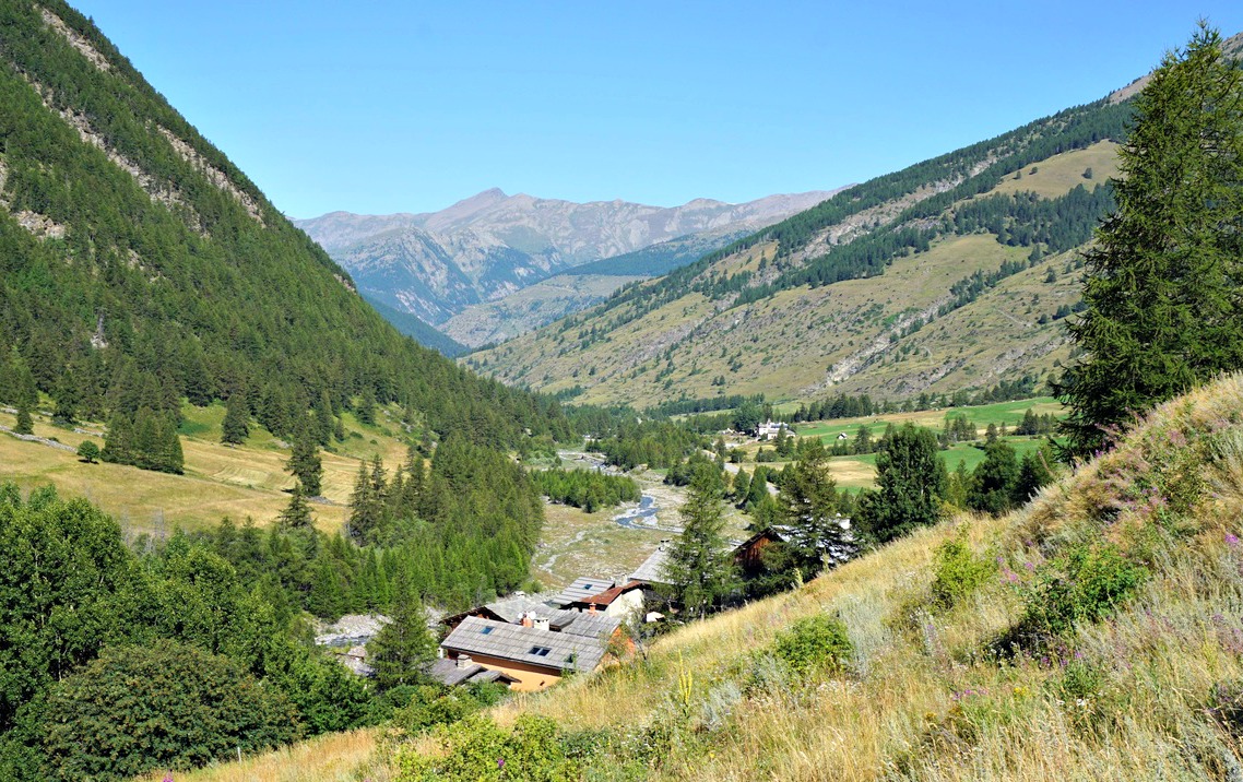
Lac d’Allos (2230 m) is a major attraction during the summer season. Located in the Mercantour National Park, it is the largest natural high-altitude lake in Europe. The mountains around the lake offer several hiking itineraries, culminating in Mont Pelat (3051 m).

Our goal today was a mountain pass called Col d’Encombrette (2527 m), south of the lake.

To reach the area from the Village of Allos, you have to drive up to one of the parkings by the paved D226 road. The parking Laus (2110 m) is highest and nearest the lake and costs 8 €, maximum capacity about 180 vehicles. There are parking possibilities by the road several km earlier. We chose to use the free La Cluit parking (about 1800 m). The trail from la Cluit connected with the GR56B/GRP trail which went to the upper parking, the lake and beyond.

Most visitors drove up to the upper parking, but even the lower one at La Cluit was busy early in the morning. This parking was unpaved, potholed, rocky and in an incline so be careful.


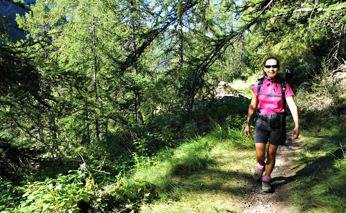
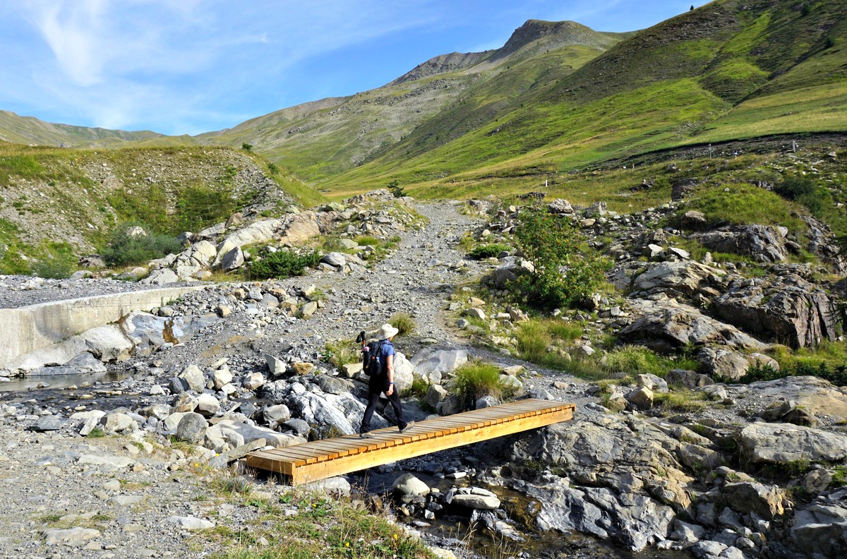
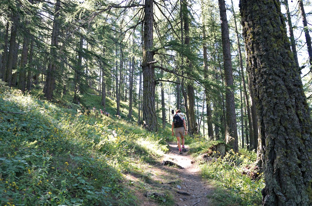
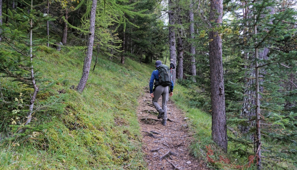
From La Cluit, we descended a bit along a PR trail which soon merged with the GR56B/GRP. We crossed a stream named le Chaudolin along a bridge (1713 m; the lowest point of the hike) and started to ascend. We passed Cascade de Chaloudin, then crossed the paved road a few times before reaching the upper parking. We crossed Plateau du Laus and turned south along a wide trail.


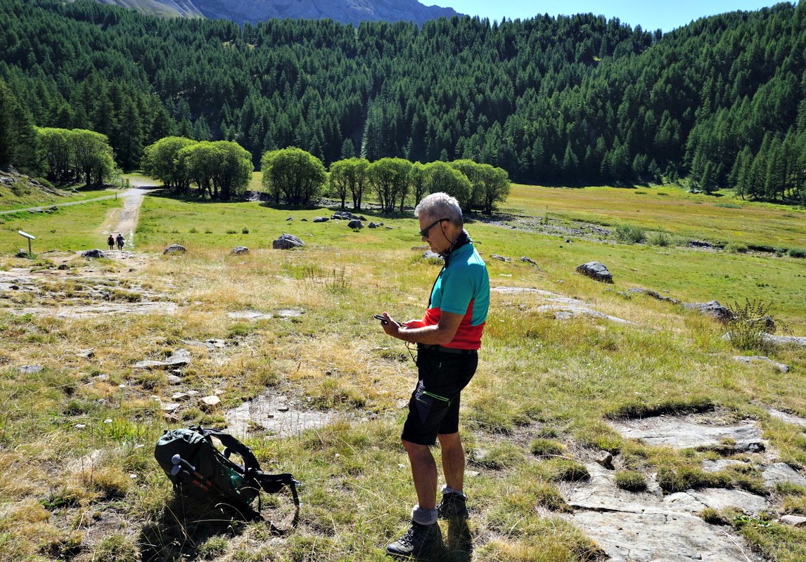
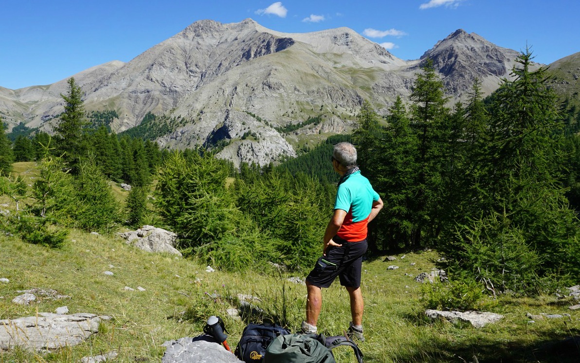
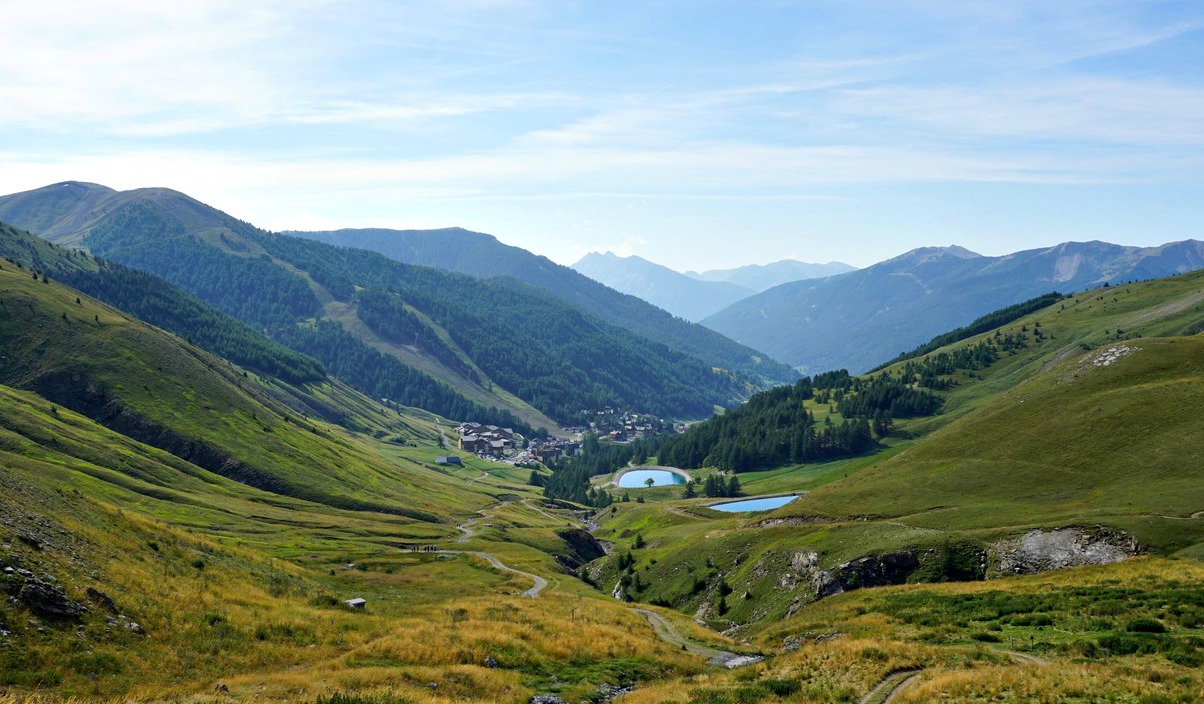
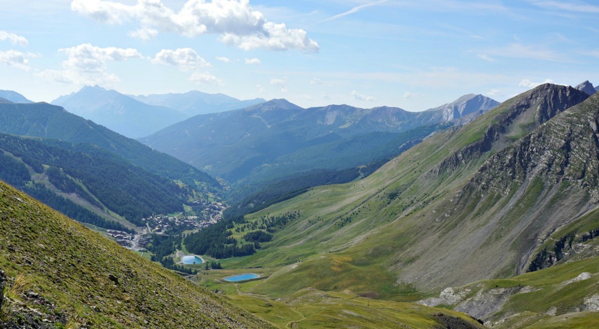
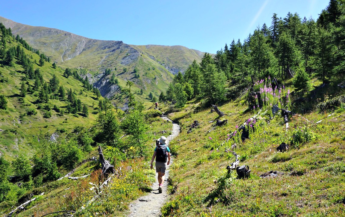
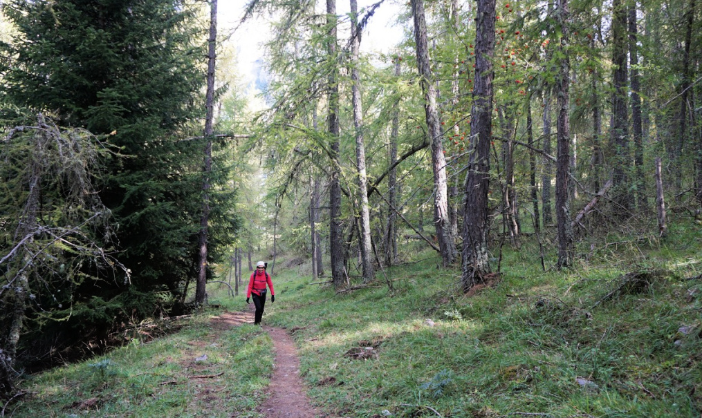
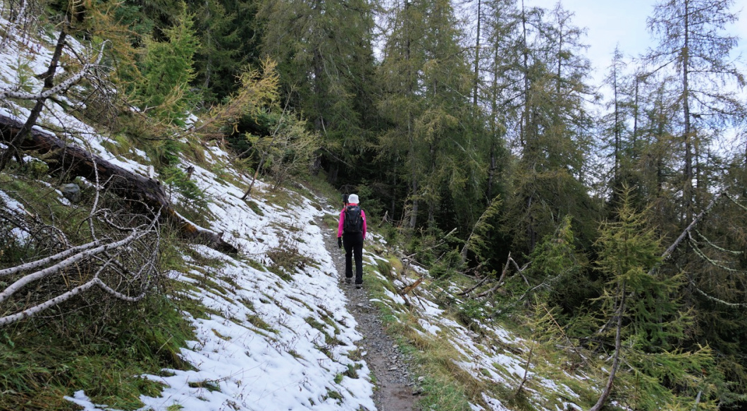
At the crossroads to the Lac d’Allos, we headed south towards Col d’Encombrette while most visitors forked left to the lake. We reached the tree line, and entered an area of vast alpine meadows, climbing gently. We had soon Lake Allos on our left-hand side and Mont Pelat dominating the landscape in the north. The trail was good and easy to follow all the way, and we saw Col d’Encombrette in front of us. There was a huge flock of sheep moving along our path, but interestingly no dogs nor shepherds. We had to wait a bit to let them pass before our final ascent to the mountain pass.


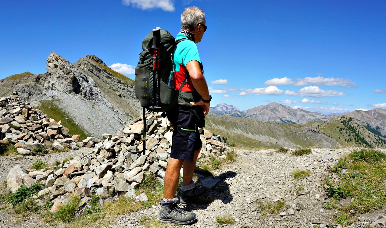
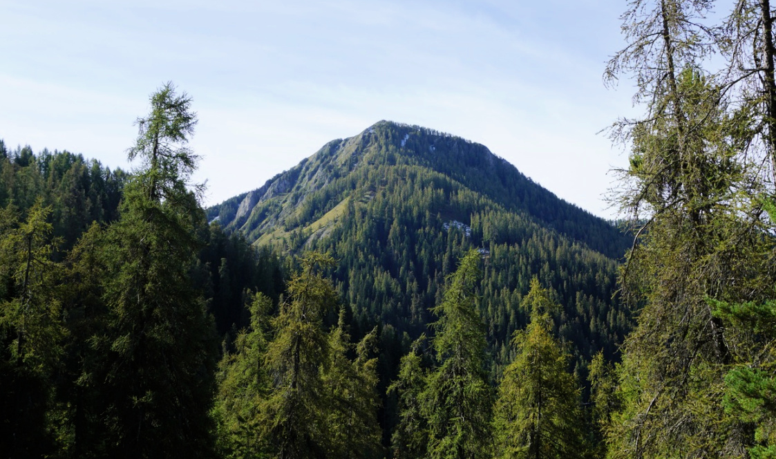
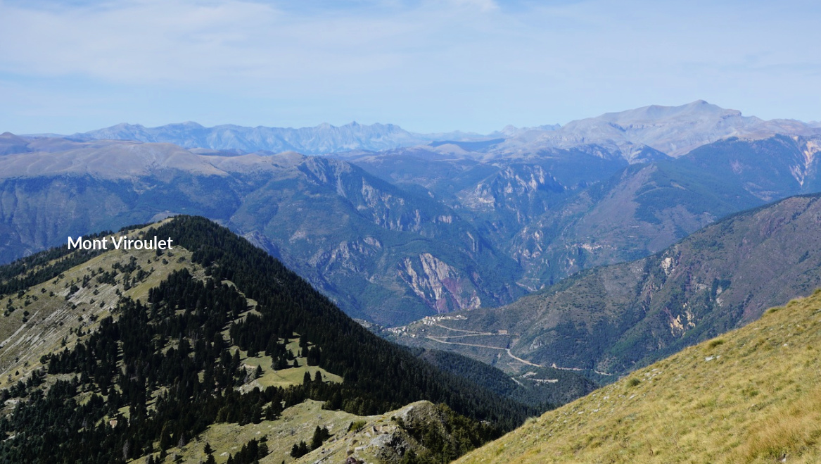
Deep in a basin below us, in the south, we had Lacs d’Encombrette while Tête de l’Encombrette rose to 2681 m behind them.


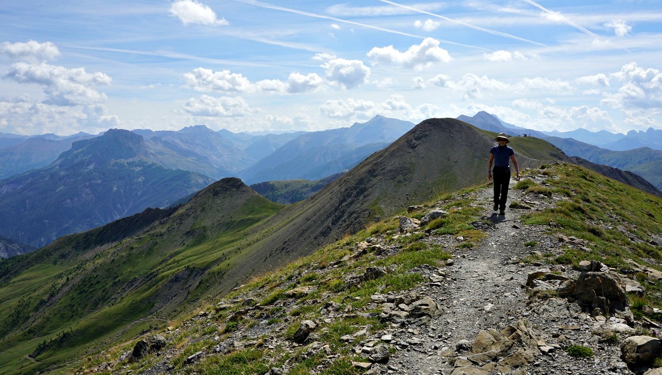
The col was a perfect spot to have a picnic break, and to admire the unique scenery.


We used the same trail back to La Cluit.


Duration: 6 h


Climb: 900 m


Distance: 17,5 km


Map: 3540 OT Barcelonnette, Pra-Loup, Le Sauze, Allos


Col d'Encombrette track

Col d'Encombrette track satellite view
Col Encombrette track satellite view


0 comments:

Note: only a member of this blog may post a comment.

Allos: Tête de la Sestrière

Crête de la Sestrière


Tête de la Sestrière
(2575 m) is a summit above La Foux d’Allos (1800 m) mountain resort. The River Verdon has its sources on the mountain’s southern flank. The GR 56 long distance trail goes via the summit. From the upper Allos Valley, the mountain can be easily reached either from Col d’Allos (GR56) or from La Foux d’Allos using the GRP Tour du Haut-Verdon trail which connects with the GR 56 trail at Col de la Sestrière (2461 m).


We started from the southern end of La Foux d’Allos (L’Abrau; 1780 m), walked past the main square, located the signpost, and climbed northwest. We passed some ski lifts and crossed a few streams which formed the Verdon River. We reached a dirt track (at a signpost named Vallon des Sources) just after having crossed the Verdon. We continued the ascent along it as far as to Cabane de la Sestrière. At the Cabane, we left the track and continued along a path, still with GRP (yellow/red) markings. We crossed the track several times, ascending more steeply.

We reached the GR56 at Col de la Sestrière on a long ridge (Crête de la Sestrière) and forked left to our goal. The nearby Grand Seolane (2909 m) dominated the landscape in the north, but we had a great view down to the Ubaye Valley further away in the northeast. The numerous sources of the Verdon River were clearly visible.

We used the same trail for our initial descent but after Vallon des Sources walked along the dirt track on the river’s eastern side and eventually had to use the main road to reach the village, making a small detour. It is better to use the western side with pedestrian paths unless your accommodation happens to be on the eastern side of the river.


Duration: 4h 30     

Climb: 800 m

Distance: 12 km

Map: 3540 OT Barcelonnette Pra-Loup Le Sauze Allos

Tête de la Sestrière hike track

0 comments:

Note: only a member of this blog may post a comment.

Abriès: Col Lacroix hike

View from l'Echalp:

View from l'Echalp


Col Lacroix
(2299 m), less then 4km southeast of Col d’Urine, is another mountain pass bordering France and Italy. It used to be one of the ancient trading routes between Queyras and Piemonte. In the mid 19th century, a Refuge Napoléon was built near the col. It remains in ruins after WWII. 

Ascent to Col Lacroix is quite easy and the itinerary is included in local guides. Moreover, it can be done as a loop hike.


We started from l’Echalp (7 km) from Abriès. The ascending trail was a GRP trail (GRP Tour du Pain de Sucre), first in a typical larch forest then gradually in open terrain. We had Torrent de Combe Morette on our left-hand side and Crête de Praroussin above us to the right. Across the torrent, we saw our descending GR58 trail.

We passed the Refuge Napoléon ruins and reached the mountain pass soon afterwards. We saw other hikers taking a break and apparently feeding some sheep dogs. The sheep and goat flock seemed to be safe though, above the col on a steep grassy slope. It was a clear day, no low clouds or fog from Italy, and we had great views.

We walked back a few hundred meters then forked right to GR58 which followed the other side of the torrent, eventually in the woods. In places, the trail went very near the steep gorge of Torrent de Combe Morette. Approaching the Guil Valley, we crossed some meadows and a stream. We reached the main road (D947), forked right and walked towards the hamlet of Monta where we crossed the Guil River, forked left and ascended a bit before reaching l’Echalp.

Duration: 4 h

Distance: 10,5 km

Climb: 680 m 

Map: 3637 OT Mont Viso St-Véran Aguilles PNR du Queyras


0 comments:

Note: only a member of this blog may post a comment.

Rouget fillets with panisses and wilted spinach


Rouget fillets with panisses and wilted spinach


In the following recipe, red mullet fillets, filets de rouget, are fried in olive oil with some capers and decorated with parmesan shavings and fresh basil. They are served with roasted panisses  topped with sliced almonds and wilted spinach. Panisses can be replaced by rice or lentils. 

This makes a perfect end of summer dinner on the terrace with a glass of chilled rosé.

2 servings

About 250 g rouget fillets

Olive oil

2 tsp. capers

Parmesan shavings

About 2 sprigs of basil

3 panisses, chickpea cakes

3 tbsp. sliced almonds

A small bag of baby spinach

1 clove garlic, minced


Preheat the oven to 200° C, roast


Place the panisses in an oven-proof dish and spread 1 tbsp. of sliced almonds on each. Drizzle over a little olive oil and roast for about 10 minutes until the almonds are golden brown.


Wash the basil and let dry on a kitchen paper. Then slice the leaves and set aside for decoration. Shave some parmesan on a plate and set aside.


Clean the rouget fillets. Warm 2- 3 tbsp. olive oil in a frying pan over medium heat and fry the fish on both sides starting with the skin side. Add the capers to the pan.


Meanwhile warm 1 tbsp. olive oil with the minced garlic in a casserole over medium heat. Then quickly cook the spinach until wilted.


Divide the panisses and rouget fillets on the plates and drizzle some olive oil from the pan over the fish. Decorate with parmesan shavings and basil and serve with spinach.


0 comments:

Note: only a member of this blog may post a comment.

La Colmiane: Caïre Gros revisited

View from western flank of Tête de Clans


This hike is dedicated to St-Martin Vésubie, the Vésubie Valley and all its villages.

The storm Alex hit the region with catastrophic consequences three days after we did this hike.


We have previously hiked to Caïre Gros (2087 m) from St-Dalmas Valdeblore (1290 m) using the GR5 trail.

This time we wanted to explore the route from La Colmiane (1500 m) above St-Martin-Vésubie. The starting point is a bit higher. As a small mountain resort, both the access and parking possibilities are excellent.


We started from signpost #93 and followed a dirt road which circled along the western flank of a forested hill called le Sucas far as to signpost #94 where we exited the piste and started to ascend diagonally in the woods along a PR (yellow marking) path. Is spite of the proximity of a ski resort, we were in a pristine forest. We crossed one ski run and proceeded to signpost #98 where we merged with the GR5 trail from St-Dalmas Valdeblore.


Continuing along GR5, we first reached Col du Varaire (1710 m) then ascended diagonally along the northern flank of Caïre Gros. There were patches of snow by the trail after an early cold front hit the region a few days earlier.


We reached Col de Deux Caïres (1920 m) where we left the GR5, forked left along a trail which zigzagged along the grassy western flank of Caïre Gros to the summit. A beautiful ridge south of the summit comprises a few summits of roughly similar elevation. A clear trail runs along the ridge, although not marked in all maps. We were familiar with it from our previous hikes, and followed the path as far as to Tête de Clans (2081 m) where we stopped for our picnic on the mountain’s western slope.


We descended directly off piste to GR5 below us, reaching signpost #101 where we forked right (north) and hiked back to Col de Deux Caïres.


From the Col, we used the same itinerary back to La Colmiane.


Duration: 4h 30


Distance: 11,7 km


Climb: 650 m


Map: “Moyenne Tinée” 3641 ET or « Vallée de la Vésubie » 3741 OT 


Caïre Gros hike track


Saint-Martin-Vésubie location La Colmiane marked with asterisk
                                         Saint-Martin-Vésubie location La Colmiane marked with asterisk

0 comments:

Note: only a member of this blog may post a comment.