

Abriès in Queyras: Col d'Urine hike

Mountain passes in the Alps are popular hiking itineraries. Many of them, in particular in the Southern Alps, are ancient trading routes.
The following hike goes to Col d’Urine (2525 m; origin of name not known) at the Franco-Italian border.
We drove to the hamlet of Valpréveyre (1839 m) from Abriès via Le Roux. It’s a paved road albeit narrow after Le Roux.


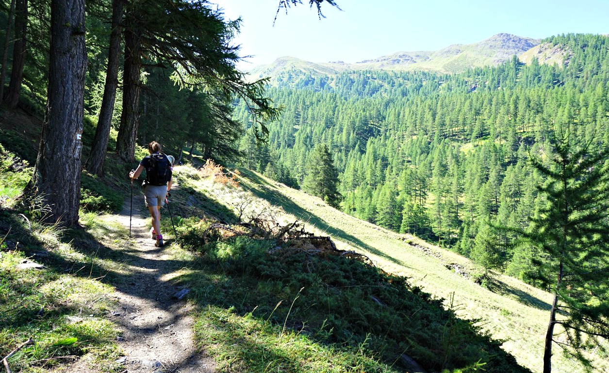


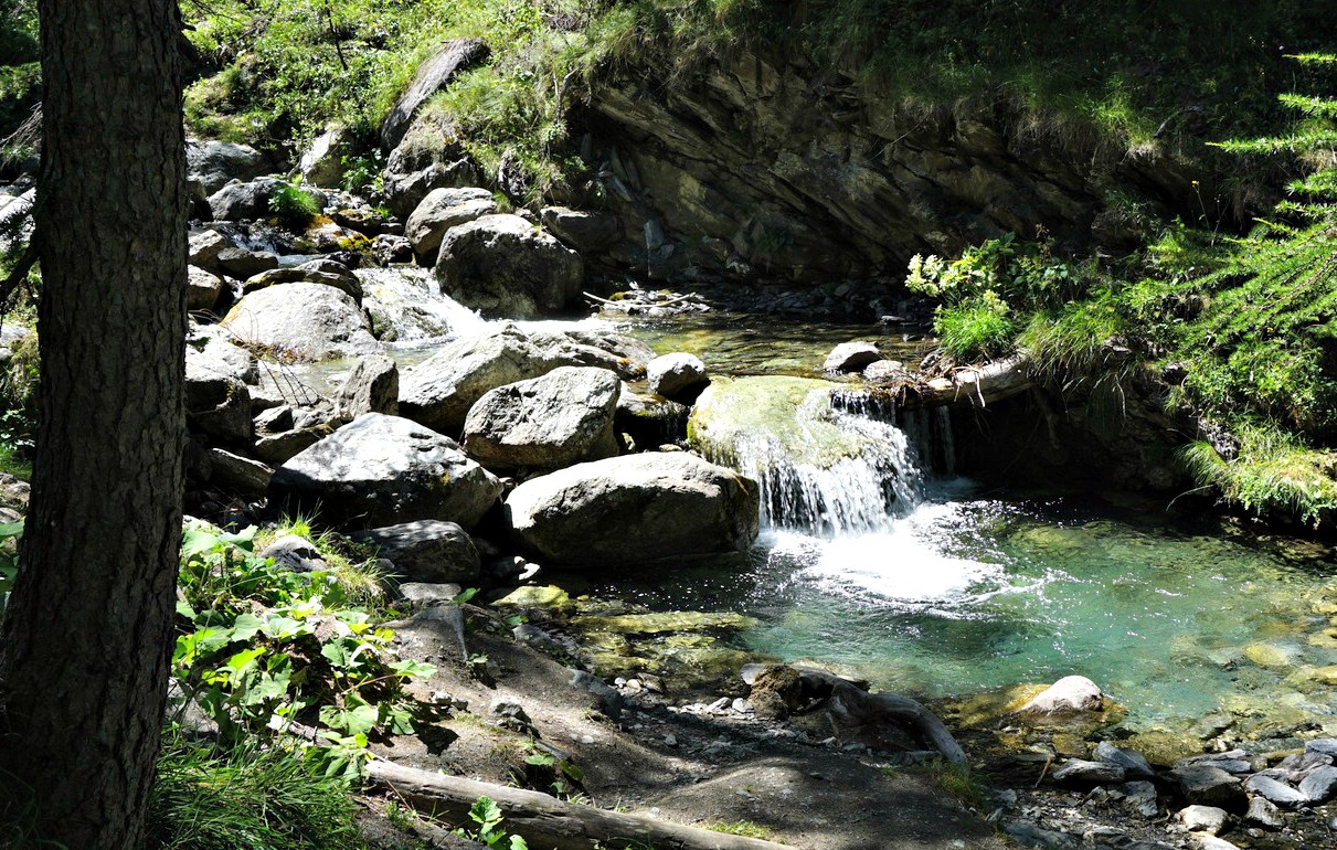
The itinerary is well signposted from Valpréveyre. We crossed Torrent de Bouchet along a wooden bridge and passed a camping ground. The first part was a PR trail (yellow markings). We continued in the woods, crossed another stream (Torrent d’Urine) and ascended steeply. The larch woods gave gradually way to alpine meadows and we passed a sheep flock. The Bergerie sous Roche, a small hut a bit further away on our right-hand side became visible before we merged with the GR58 variant trail which ascended from Abriès and Collette de Gilly.
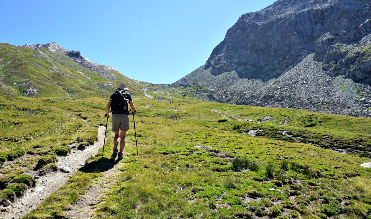
The scenery became high alpine, but the rate of climb remained pleasant. In front of us, we had the dominating Tête du Pelvas (2929 m). Approaching the mountain pass, the trail circled between huge boulders from a rock slide on the mountain’s northern flank.
The day was clear, no nebbia (fog rising frequently from the Italian side specially in this region) in sight. There was an ancient border marker and a signpost. The trail descended on the Italian side to Rifugio Jervis al Pra.
We descended back along the same trail.
Duration: 3h 20 (active)
Climb: 700 m
Distance: 8,6 km
Map: 3637 OT Mont Viso St-Véran Aguilles PNR du Queyras


0 comments:
Note: only a member of this blog may post a comment.