

Abriès: Col Lacroix hike
View from l'Echalp:

|
Col Lacroix (2299 m), less then 4km southeast of Col d’Urine, is
another mountain pass bordering France and Italy. It used to be one of the
ancient trading routes between Queyras and Piemonte. In the mid 19th century,
a Refuge Napoléon was built near the col. It remains in ruins after
WWII.
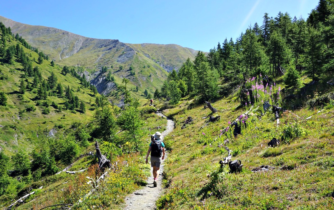
Ascent to Col Lacroix is quite easy and the itinerary is included in local
guides. Moreover, it can be done as a loop hike.

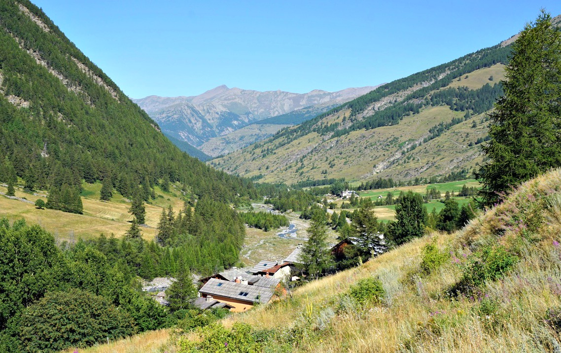
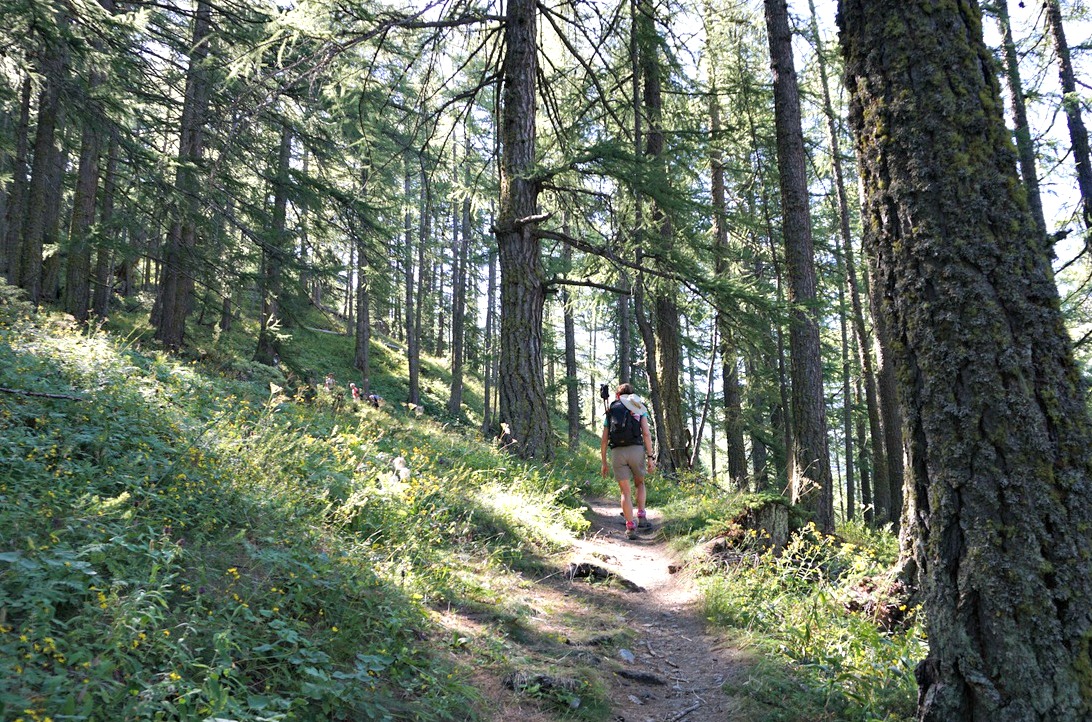


We started from l’Echalp (7 km) from Abriès. The ascending trail was a GRP trail (GRP Tour du Pain de Sucre), first in a typical larch forest then gradually in open terrain. We had Torrent de Combe Morette on our left-hand side and Crête de Praroussin above us to the right. Across the torrent, we saw our descending GR58 trail.
We passed the Refuge Napoléon ruins and reached the mountain pass soon afterwards. We saw other hikers taking a break and apparently feeding some sheep dogs. The sheep and goat flock seemed to be safe though, above the col on a steep grassy slope. It was a clear day, no low clouds or fog from Italy, and we had great views.
We walked back a few hundred meters then forked right to GR58 which followed the other side of the torrent, eventually in the woods. In places, the trail went very near the steep gorge of Torrent de Combe Morette. Approaching the Guil Valley, we crossed some meadows and a stream. We reached the main road (D947), forked right and walked towards the hamlet of Monta where we crossed the Guil River, forked left and ascended a bit before reaching l’Echalp.
Duration: 4 h
Distance: 10,5 km
Climb: 680 m
Map: 3637 OT Mont Viso St-Véran Aguilles PNR du Queyras


0 comments:
Note: only a member of this blog may post a comment.