

Allos: Tête de la Sestrière
 |
Tête de la Sestrière (2575 m) is a summit above La Foux d’Allos (1800 m) mountain resort. The River Verdon has its sources on the mountain’s southern flank. The GR 56 long distance trail goes via the summit. From the upper Allos Valley, the mountain can be easily reached either from Col d’Allos (GR56) or from La Foux d’Allos using the GRP Tour du Haut-Verdon trail which connects with the GR 56 trail at Col de la Sestrière (2461 m).


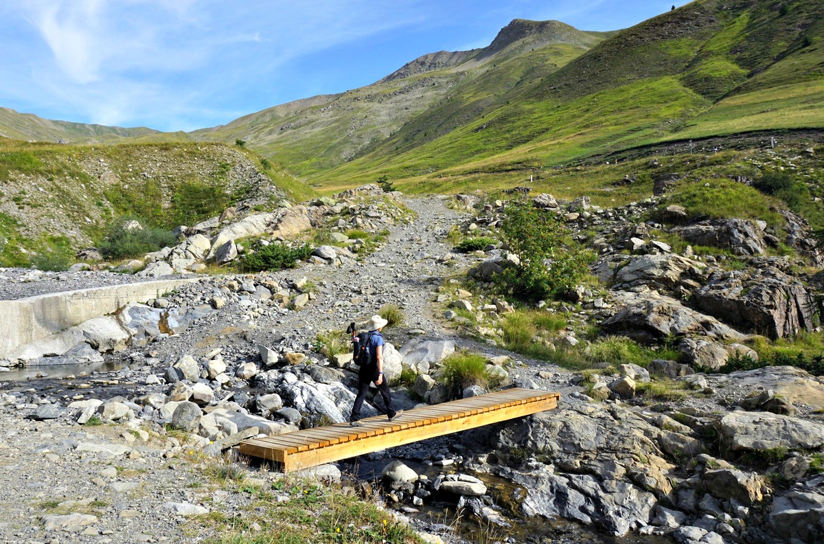
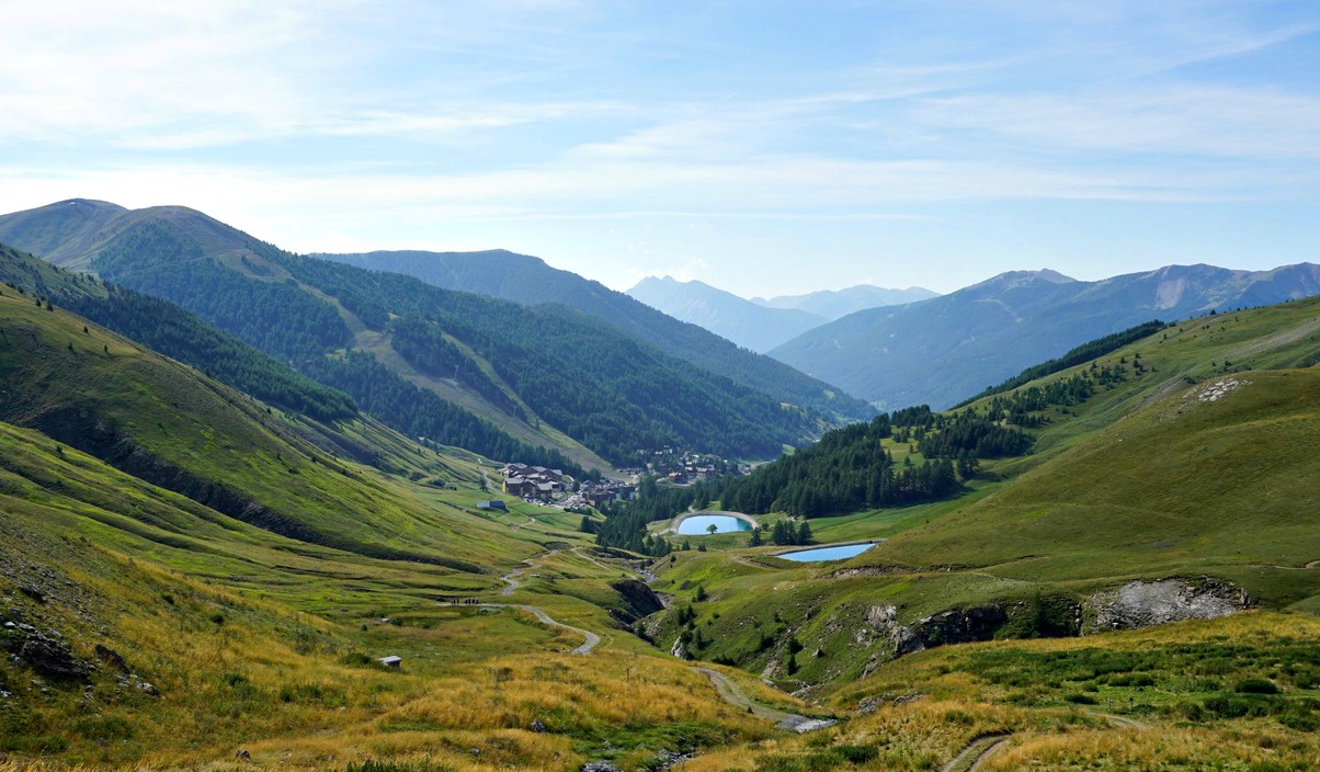
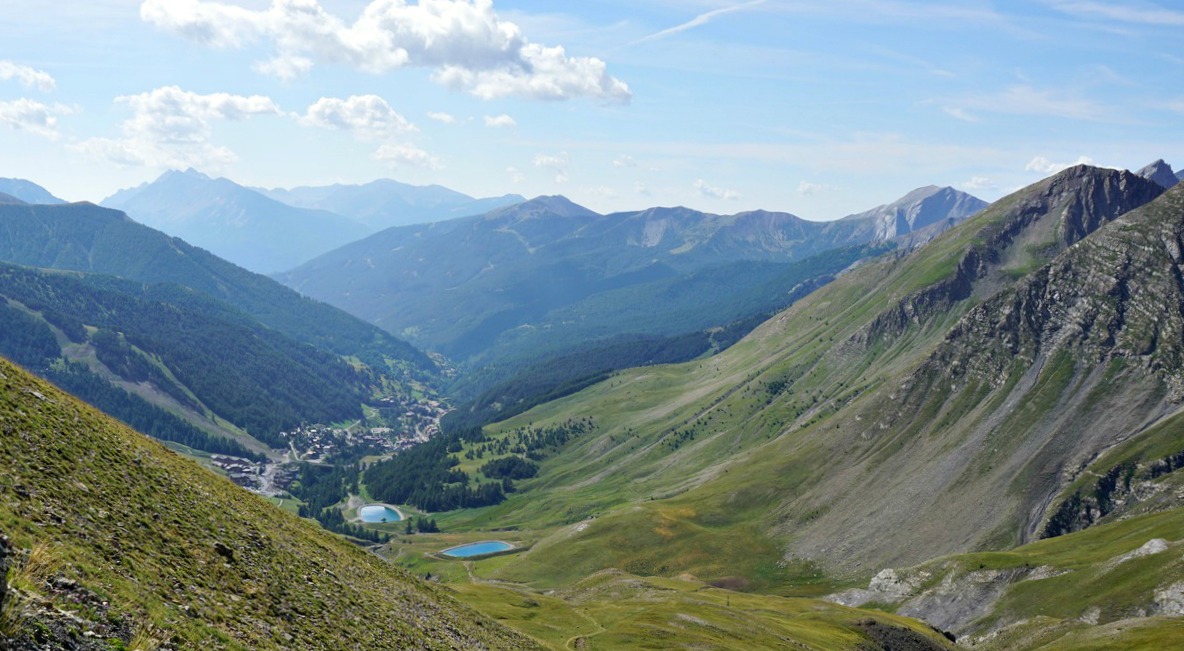


We started from the southern end of La Foux d’Allos (L’Abrau; 1780 m), walked past the main square, located the signpost, and climbed northwest. We passed some ski lifts and crossed a few streams which formed the Verdon River. We reached a dirt track (at a signpost named Vallon des Sources) just after having crossed the Verdon. We continued the ascent along it as far as to Cabane de la Sestrière. At the Cabane, we left the track and continued along a path, still with GRP (yellow/red) markings. We crossed the track several times, ascending more steeply.
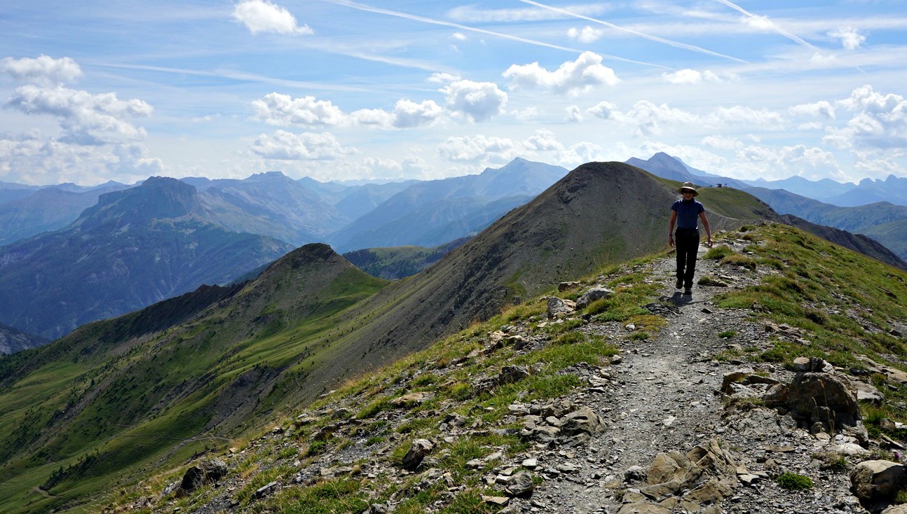
We reached the GR56 at Col de la Sestrière on a long ridge (Crête de la Sestrière) and forked left to our goal. The nearby Grand Seolane (2909 m) dominated the landscape in the north, but we had a great view down to the Ubaye Valley further away in the northeast. The numerous sources of the Verdon River were clearly visible.
We used the same trail for our initial descent but after Vallon des Sources walked along the dirt track on the river’s eastern side and eventually had to use the main road to reach the village, making a small detour. It is better to use the western side with pedestrian paths unless your accommodation happens to be on the eastern side of the river.
Duration: 4h 30
Climb: 800 m
Distance: 12 km
Map: 3540 OT Barcelonnette Pra-Loup Le Sauze Allos
 |
| Tête de la Sestrière hike track |


0 comments:
Note: only a member of this blog may post a comment.