

Abriès: Short walk from Le Roux to La Montette

Between longer and strenuous hikes, you might need a shorter leisurely walk to let your body recuperate.
If you are in Abriès (Queyras), the following walk serves this purpose perfectly.
We drove up to the village of Le Roux (1760 m) 4 km from Abriès. There are several parking possibilities at the village entrance.


We ascended through the village along a GR58 variant trail. There were a few buildings under reconstruction, whereas some were derelict.
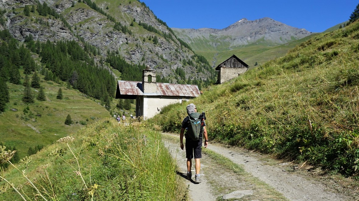
We headed north towards the Montette Chapel. We walked along a dirt track which followed Torrent de la Montette. We reached a bend in the torrent, left the dirt road and crossed the stream along a bridge. Still on a GR58 trail, we now climbed steeply towards la Montette. The hamlet had been abandoned in the late 19th century, only ruins remained below the chapel which had been recently restored.
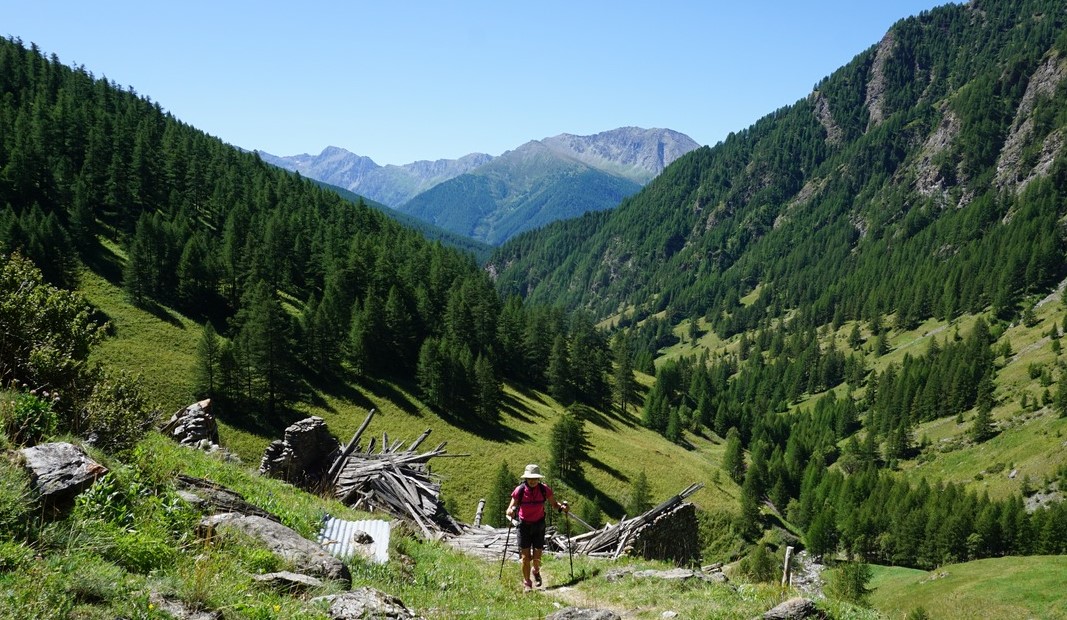
At the chapel, the GR58 trail forked left (northwest) to Col de Thures. We forked right and continued along a smaller PR path, heading east. Walking along alpine meadows, we passed a crossroads to Col de Mayt. Gradually, we descended towards Torrent du Col St-Martin which we crossed, then forked right (west), and followed a wide dirt track in the woods. The direction soon turned to the south, and we descended back to the same dirt road (GR58) used in the beginning of the walk from Le Roux.
Duration: 2h 20
Climb: 350 m
Distance: 6,6 km
Map: 3637 OT Mont Viso St-Véran Aguilles PNR du Queyras
 |
| La Montette hike track |


0 comments:
Note: only a member of this blog may post a comment.