Abriès in Queyras: Hike to Lake Egorgéou
The upper Guil River Valley in the Queyras Regional National Park is a hiker’s paradise. Here, you’ll see trekkers doing a week-long Tour de Queyras as well as families using the same trail for shorter walks. The nature is spectacular and obviously Mont Viso (3841 m) on the Italian side gives the region a special appeal. The main villages here are Abriès, Aguilles and Ristolas.
 |
Signpost to Lac Egorgeou
|
Today’s hike goes from l’Echalp (7km from Abriès) to Lake Egorgéou (2394 m) along the Grand Randonnée 58 trail. In fact, GR 58 and its variants crisscross the mountains and valleys here. |
Leaving l'Echalp along GR58 south
|
 |
Bric Froid seen from trail to Lac Egorgeou
|
 |
Good GR58 trail to Lac Egorgeou
|
 |
GR58 trail to Lac Egorgeou
|
 |
View to southeast from GR58 trail
|
 |
View over Guil River Valley from GR58
|
 |
Mont Viso seen from GR58 to Lac Egorgeou
|
We drove to l’Echalp (1700 m) from Abriès (1550 m) along a good paved road.
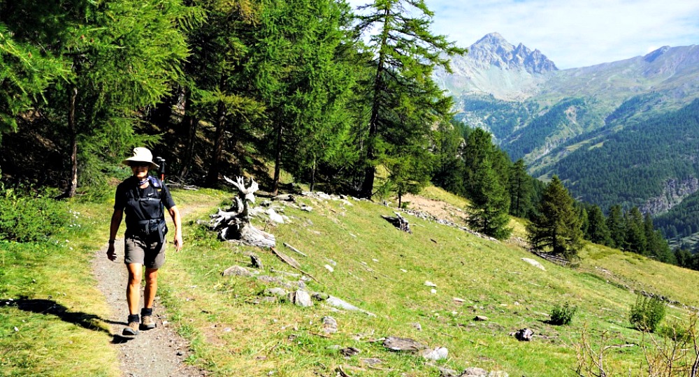
We crossed the Guil River along a wooden bridge, turned left and followed it a bit before starting to ascend along the GR58/ GRP Tour du Pain de Sucre. It was a straightforward itinerary, a well-marked (white-red) trail first through a mélèze, larch forest. The trail followed The Bouchouse Torrent. Mont Viso became visible in places. The imposing Crête de la Taillante in front of us was nearer, rising to 3197 m southeast of Lake Egorgéou.
 |
GR58 trail under Lac Egorgeou
|
 |
Approaching Lac Egorgeou from north
|
 |
Créte de la Taillante Queyras
|
 |
Lac Egorgeou view north
|
 |
Pain de Sucre summit seen from Lac Egorgeou
|
We climbed past some alpine meadows, meeting numerous hikers already on the way down to l’Echalp, and reached the beautiful mountain lake in 2h 20. From our picnic point above the lake, we saw a glimpse of Pan de Sucre (3208 m). The area is a protected habitat.
Having reached our planned goal today, we took the same trail back to our starting point.
Climb: 770 m
Distance: 11,4 km
Duration: 4h 20 active
Map: 3637 OT Mont Viso St-Véran Aguilles PNR du Queyras
 |
Lac Egorgeou trail track
|


0 comments:
Note: only a member of this blog may post a comment.