

Caïre Gros above St-Dalmas Valdeblore

There are some easily accessed mountains at the entrance to Haut Pays from which you have a super panorama to the highest peaks of Alpes Maritimes. Le Caïre Gros (2087m) and Tête de Clans (2081m) above the village of St-Dalmas Valdeblore (1290m) and the nearby the ski resort of La Colmiane are two such summits.
Some guidebooks describing the hike to Le Caïre Gros recommend to take the trail back to St-Dalmas Valdeblore through the Bois Noir. Having done this hike previously, and lost our trail twice in the woods of Bois Noir, we suggest here a much nicer path with better views back to St-Dalmas Valdeblore. In good visibility you can easily do two summits by continuing from Le Caïre Gros to Tête de Clans. This requires practically no extra effort.
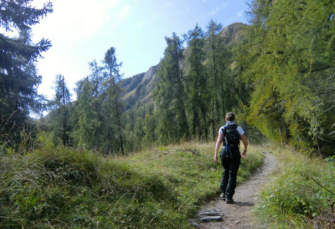


In St-Dalmas Valdeblore, park your car near the church. There is a small parking on the other side of the main road. The hike starts from the nearby signpost #78. Follow first the Grande Randonnée 5 and its red and white signs up to the Col de Deux Caïres (1910m). This first part is almost continuous and rather steep long ascent.
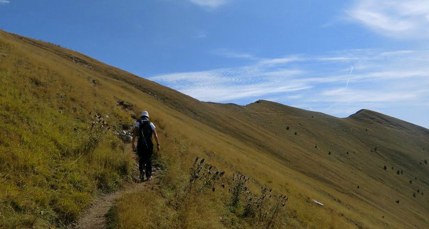
At signpost #99 leave the GR 5 and start ascending to the Caïre Gros (2087m). There a super panorama waits for you. You can see Mont Mounière, Argentera, Gélas…in fact many of the 3000+ summits!
After the summit, descend a little to south along the ridge. Climb a few meters to the Tête de Clans (2081m). Continue a bit more to south until you come to a nice alpine meadow, locate signpost #101 on the GR 5 trail a bit lower. Descend along the meadow to this signpost, and head north along the GR 5.
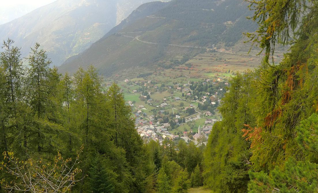
Follow the GR 5 as far as to signpost 98 after the Col du Varaire. There leave the GR 5 and take the right-hand path towards La Colmiane. This trail is marked with yellow signs. Follow this nice path, crossing twice a ski run, to signpost #94. There turn left and start first descending along a ski run, then along a stony unpaved road which will soon take you back to the starting point at signpost #78.
We did this hike in the middle of October on a warm and sunny day with just some scattered clouds.
Total ascent: about 850- 900 m.
Total hiking time: about 5h.
Map: IGN 3641 ET Moyenne Tinée
Share story


0 comments:
Note: only a member of this blog may post a comment.