

Hike from Marie in the Tinée Valley

Hiking in the Moyen Pays is at its best in the end of May and early June when the nature is awakening to summer but it is not yet too hot at lower altitudes. Autumn is great as well, but you should then choose a day when hunting is not allowed!
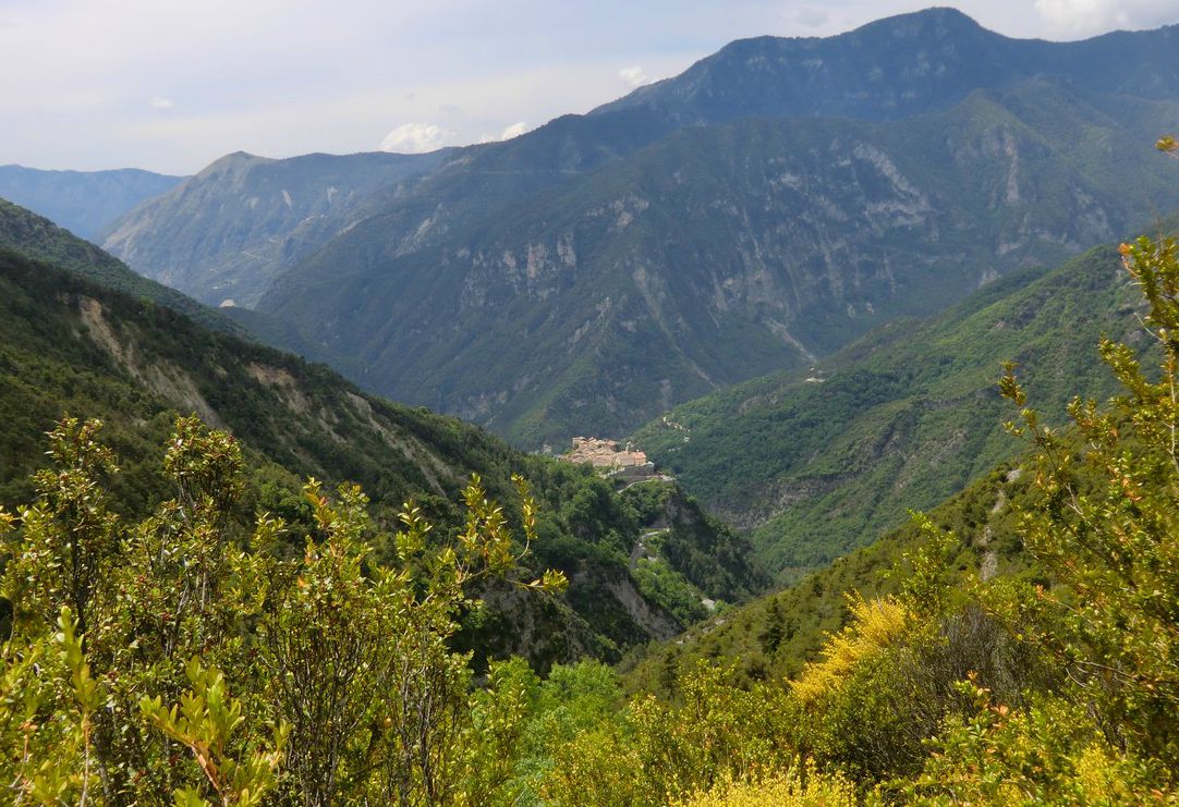
The following hike starts from the well-maintained village of Marie (600 m), about 50 km from Nice. The village and its surroundings are said to be influenced both by the Mediterranean Sea and the nearby Southern Alps. The sinuous and narrow D58 ascends from the D2205 road to the village. Park your car at the village entrance.
The first signpost is located just before the parking. The start of the trail is paved and well marked with yellow. Follow the signposts that show Pointe de Clamia (887 m), the mountain to be circled on this hike. You are soon ascending in the magnificent pine forest called Lauzette towards the Pointe de Clamia. The col next to the mountaintop is the highest point of the hike (860 m). This is a good spot for a break, and has nice views down to the Tinée valley.
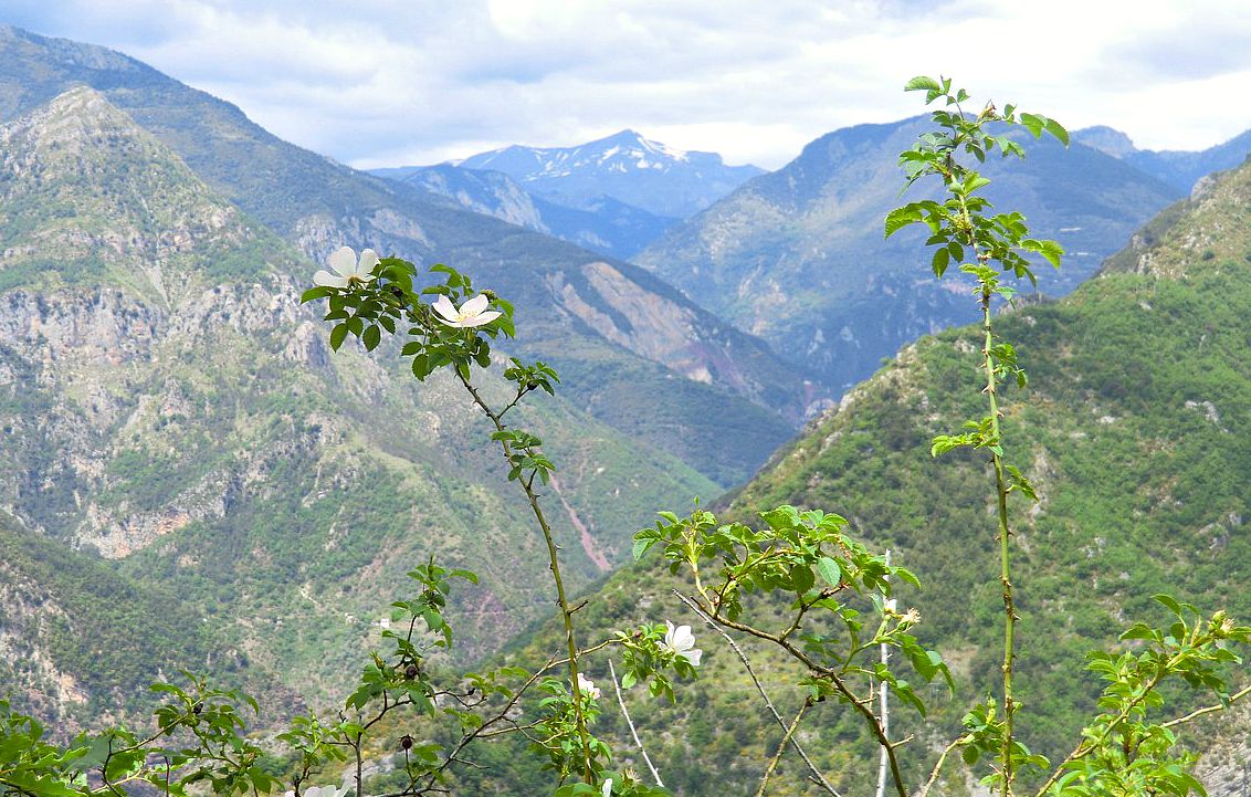
The peculiar shape of Mont Mounier (2817 m), partly snow-capped, can be seen in the distance.


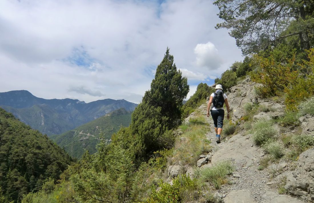


This is a truly relaxing and easy hike in the “middle country”, a bit off the beaten track if you like!
Total hiking time: 3 hours
Total ascent: 430 m
More info in French in the Randoxygène guide
Map: IGN Moyenne Tinée 3641 ET
Image of trail courtesy of Google Maps
Share story


0 comments:
Note: only a member of this blog may post a comment.