

Caussols: La Colle de Rougiès

The commune of Caussols (Village at 1130 m elev.) located in Grasse hinterland, northwest of Gourdon offers several interesting hiking opportunities. Paved roads reach over 1000 m elevation which makes the region popular as many of the summits and ridges can be reached with a relatively moderate effort.
We have previously hiked to Haut Montet (1335 m; Civil Aviation Radar) which is actually located in the neighbouring commune of Gourdon.
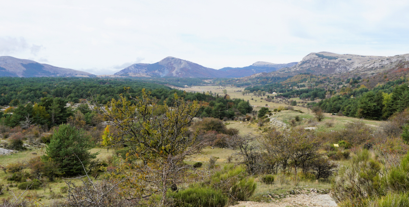
This time we wanted to explore the ridge north of Plateau de Caussols, comprising La Colle de Rougiès (1334 m). Instead of parking by the D12 road, we drove up to Les Claps Parking where the trail to Haut Montet starts.


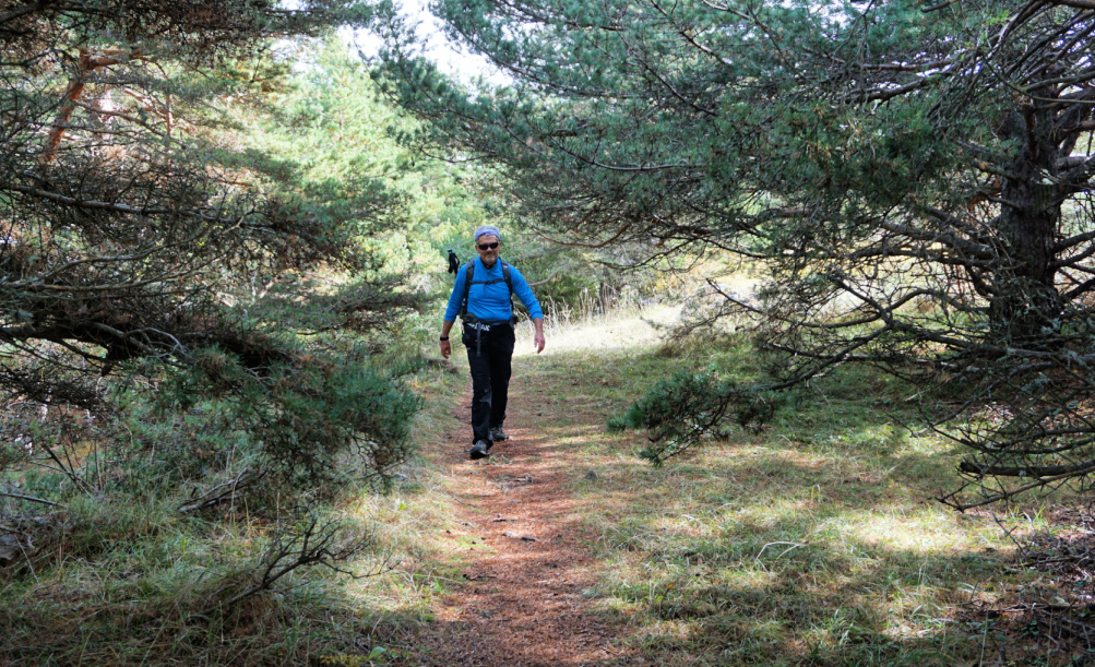


We walked back 200 m to signpost #43 and headed north along a wide trail, an ancient Roman Road. Several avens, sinkholes, were marked in the map next to the trail. We did not explore them as they were mostly covered with vegetation.
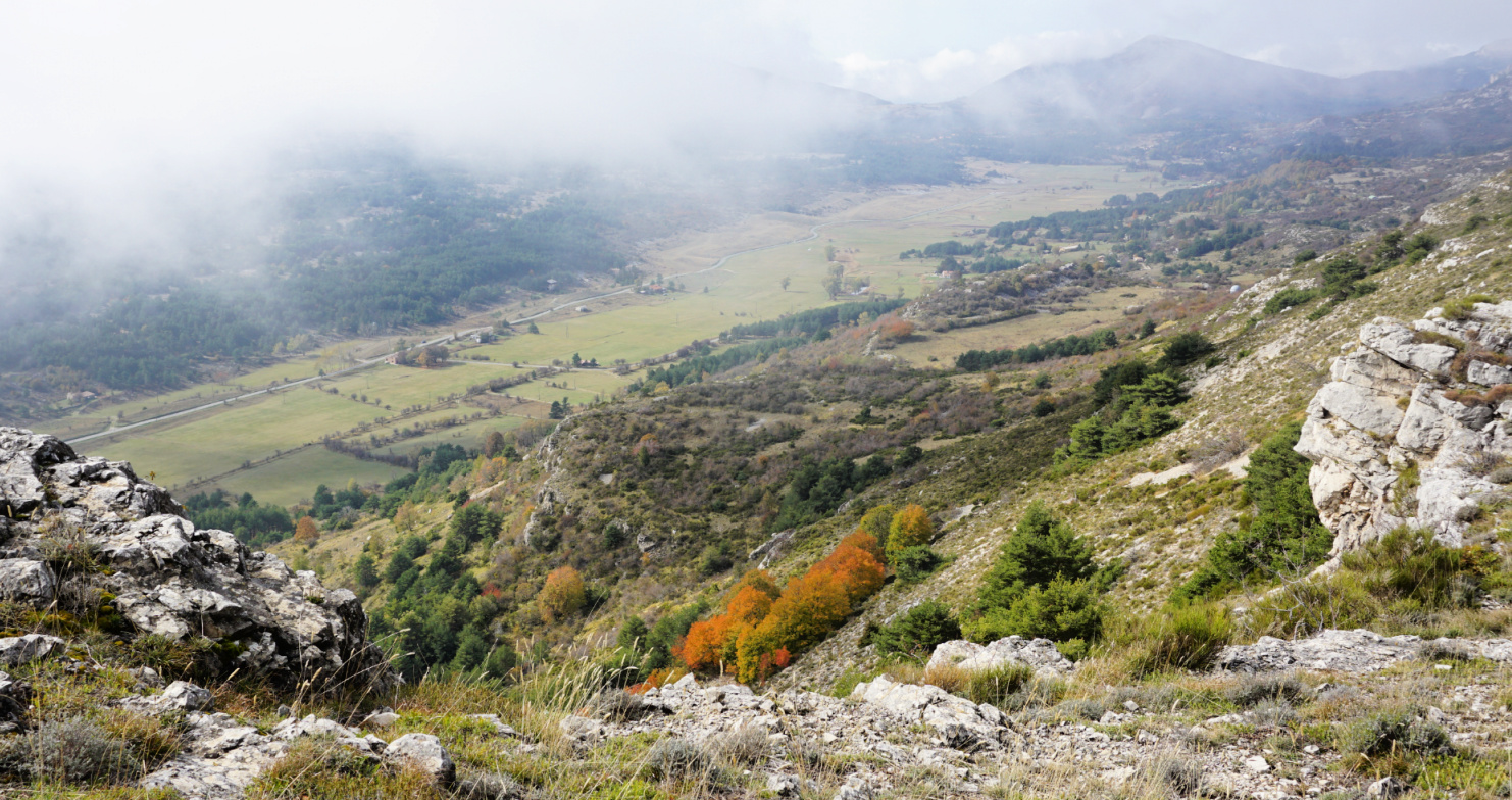
After about 600 m, we forked right (northeast) along another wide trail and soon came to the D12 road and Col de l’Ecre (1120 m). We followed the road north about 300 m to signpost #45. We forked right (east) to a marked trail and soon started to climb, eventually in a steep but short slope to signpost #46 which marked the eastern point of the ridge. Staying on the ridge, we headed west towards La Colle de Rougiès, climbing slowly mostly in open terrain, sometimes in a beautiful pine wood. The trail was soft and good.
La Colle de Rougiès summit was marked with a large cairn. In the west, we saw the Côte d’Azur Observatory on Plateau de Calern and Montagne de Thiey (1553 m) further away above the Plateau of Caussols. A wide trail continued to the observatory and beyond.
Our trail followed the edge of the ridge a few hundred meters to signpost #47. We then descended steeply, the trail was rocky and later somewhat overgrown. There were parallel markings (yellow) and cairns here and there. We came to a paved road which led us to the D12 road. We crossed it, and started to ascend along the pebbled Roman Road, Voie Romaine, which we followed back to our starting point.
Distance: 8,5 km
Climb: 360 m
Duration: 2h 50
Map: Cannes Grasse Côte d’Azur 3643 ET


0 comments:
Note: only a member of this blog may post a comment.