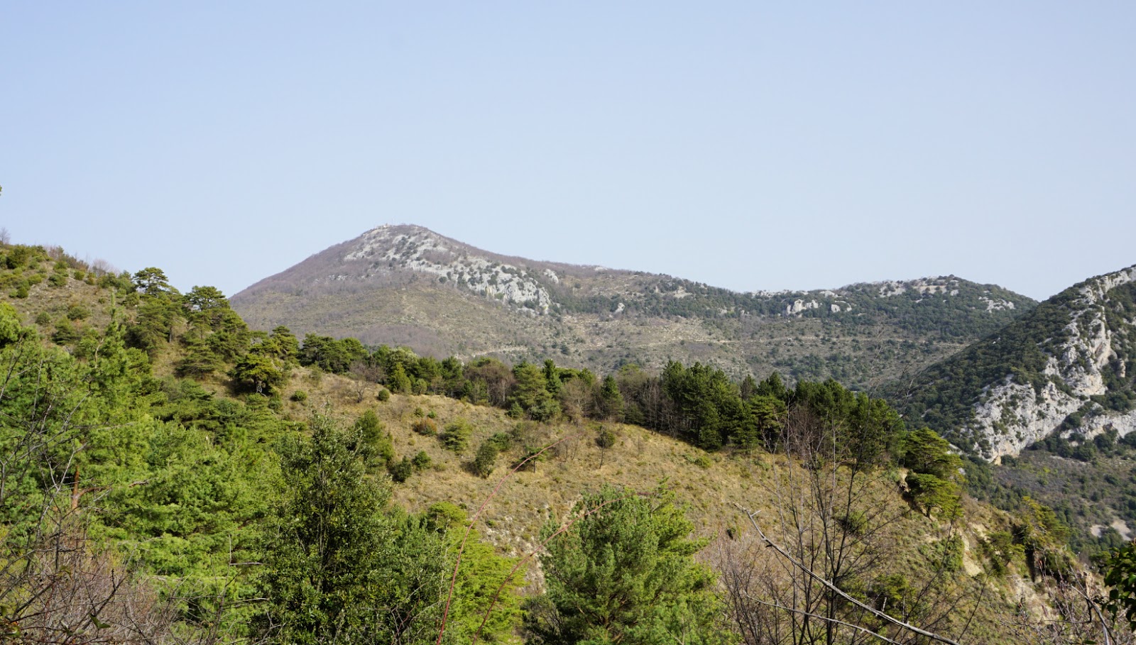
Mont Ours from Ste-Agnès
Mont Ours (1236 m) above Ste-Agnès (main village at about 650 m elev.) has, as many other coastal summits, had historically a strategic importance.
A small fortress was erected on the mountain top already in the late 19th century. When the Maginot line was built in the 1930s, several fortifications were built in the area en masse, such as the one above Col des Banquettes on the southern flank of Mont Ours.
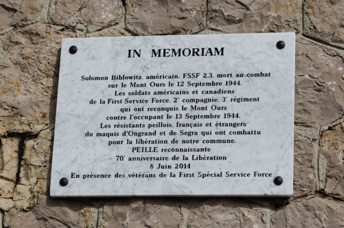
The battle of Mont Ours took place on 12/13 September 1944, one month after the Allied landing. A commemorative plaque honouring the First Special Service Force (American and Canadian), and local resistance fighters was unveiled on the fortress wall in 2014.
Today there’s a forest fire observation post as well as several telecom masts on the summit.
Hiking trails above Ste-Agnès are numerous. You can design your own itinerary as you wish.
We have previously hiked to Mont Ours from Col de Castillon situated northeast of the mountain. We now wanted to explore the route from the south.
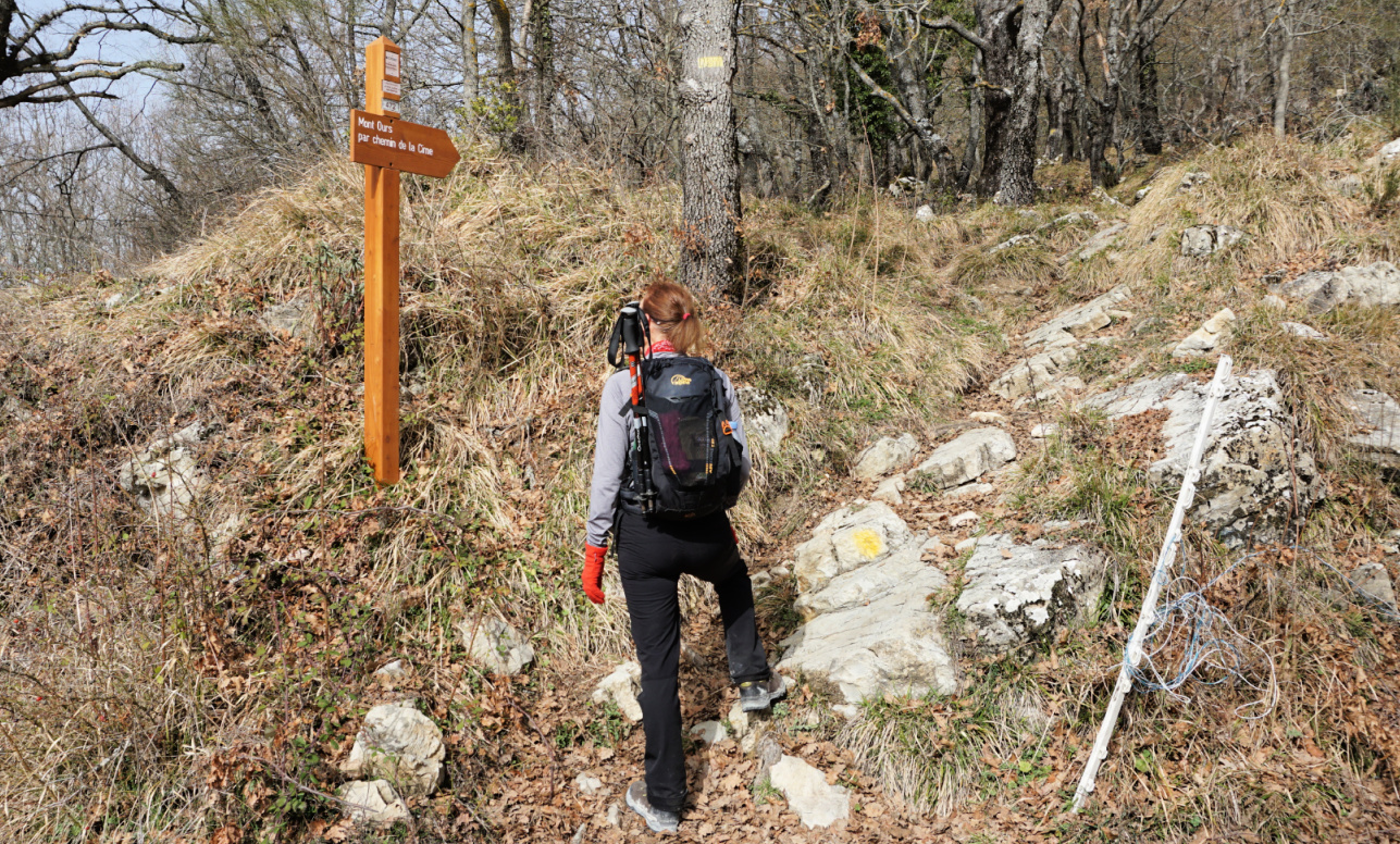
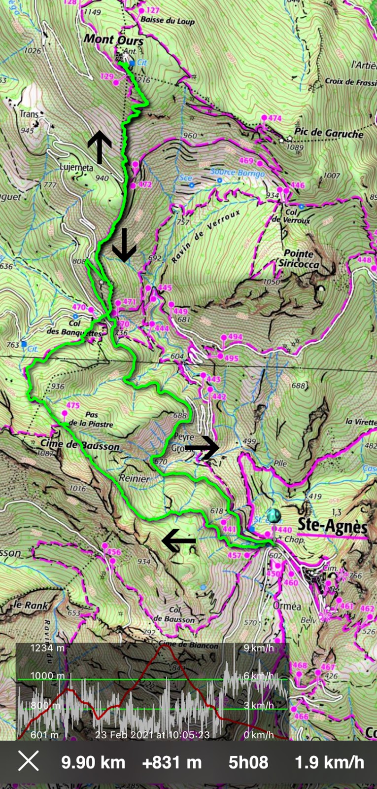
From Ste-Agnès village entrance parking (about 600 elev.), we headed northwest along a yellow-marked path, ascending to Pas de la Piastre (935 m elev.). Signpost #475 had disappeared but at the crossroads we took the right-hand path to Col des Banquettes (736m). The left-hand path went up to Cime de Baudon. The path descended in a pleasant forest.
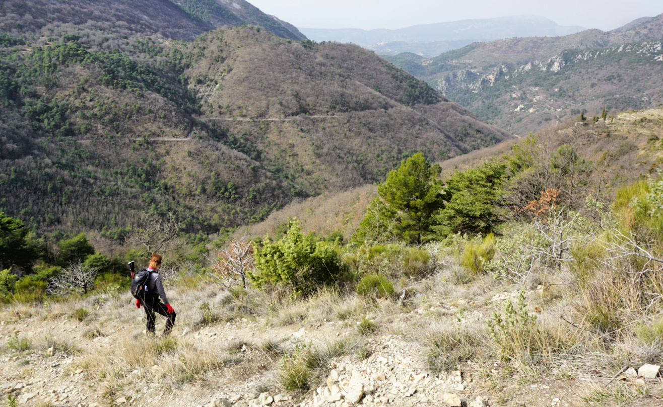
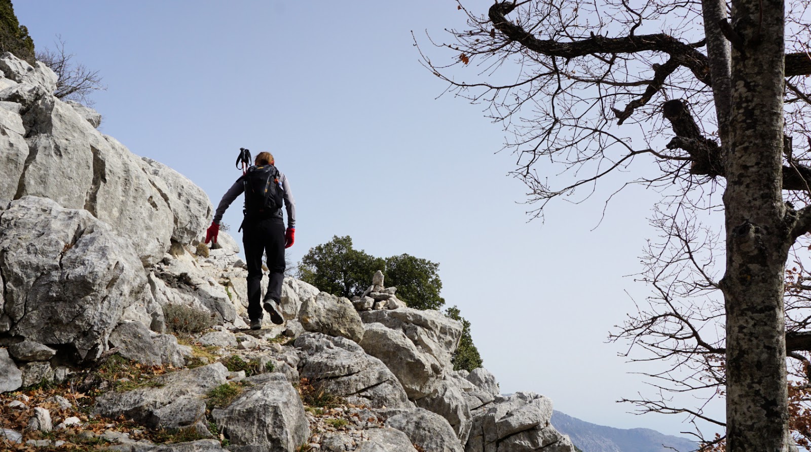
At the Col, we crossed the paved M22 road. One of the signposts #470 had disappeared (the other one was intact 70 m south). We started to climb along the main marked path, passing some bunkers. The gradient increased and the terrain became rockier. We were guided by cairns, fading yellow markings and the digital map.
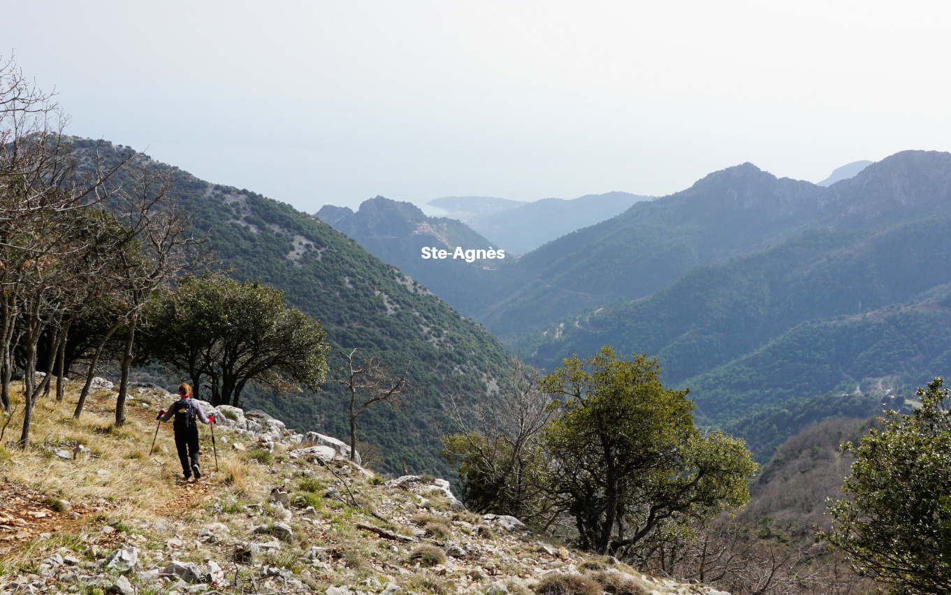
We passed signpost#472 where a wider trail went to Col de Verroux. We continued straight north to the summit. The main gate was locked but a gap was made for pedestrians. With all the installations, it was not your pristine mountain top to be honest. We were reminded of the WWII battle. The day was warm but hazy (desert dust), limiting otherwise great views.
We decided to return to Col des Blanquettes along the same trail instead of doing a loop via Col de Verroux. The 18.00 curfew had been implemented in France because of the pandemic. From the Col, we took the shortest way back to our starting point along the M22 road (very little traffic).
Hiking to Mont Ours from Col de Castillon is easier. Many hikers seem to drive up to Col des Blanquettes, starting their walks from there.
Climb: 830 m
Distance: 10 km
Duration: 4h 30 active hiking time
Map: Nice Menton Côte d’Azur 3742 OT









0 comments:
Note: only a member of this blog may post a comment.