

Les Alpilles: Glanum and hike to the Rocher des deux Trous

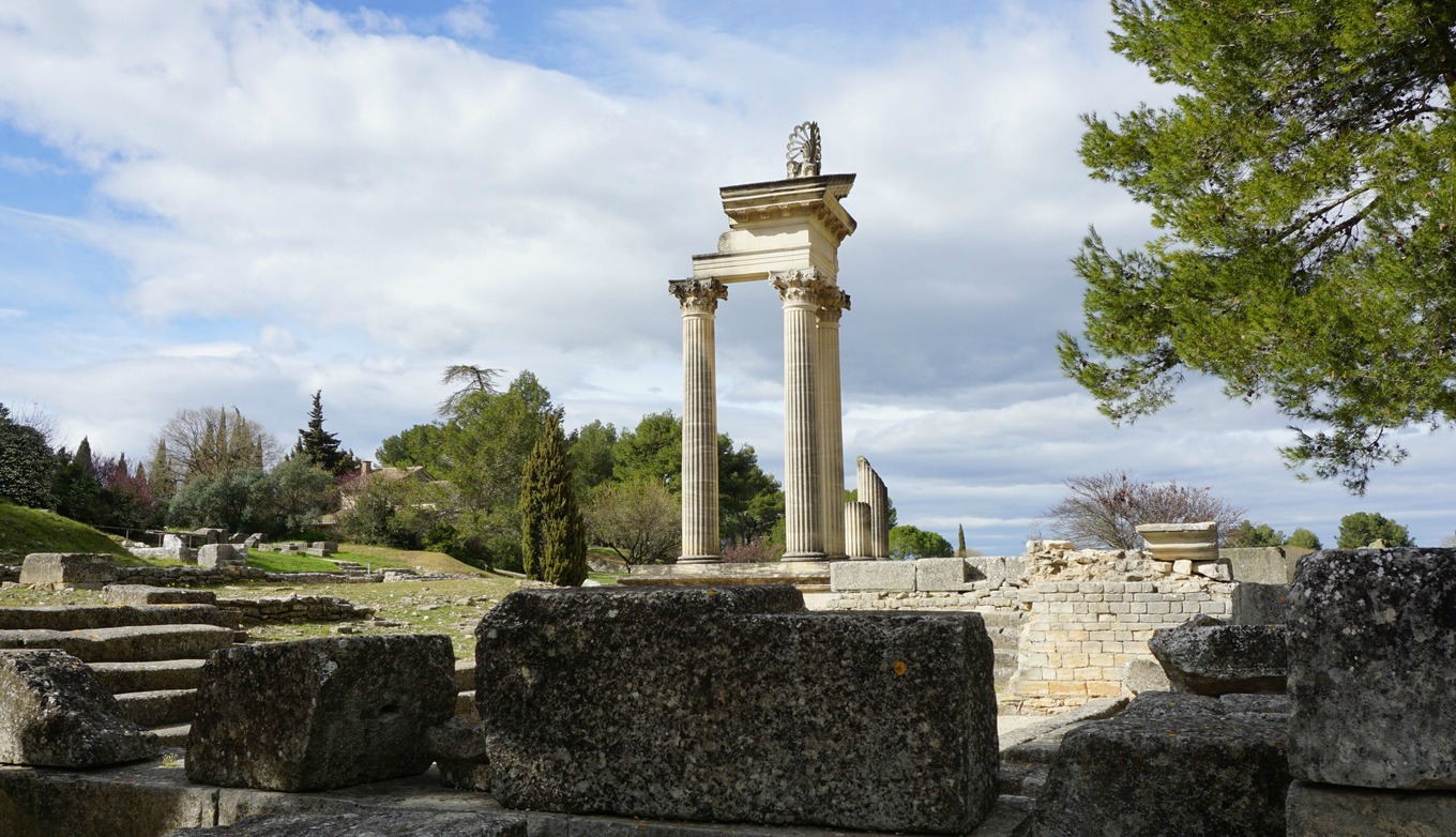
Glanum in Bouches-du-Rhône, south of St-Rémy-de-Provence was a tourist site already in the 16th century because of its well-preserved Roman monuments.
The first inhabitants were Gauls (6th and 7th centuries B.C.). Glanum became a Roman colony in 27 B.C. and important urban construction was started. During the Roman era via Domitia from Spain to Italy ran through Glanum.
In 260 A.D. Glanum was invaded by the Alemanni. The inhabitants had to flee and founded the town of Saint-Rémy-de-Provence.


After admiring the antique monuments, we started our hike to Rocher des deux Trous, passing first the Saint-Paul-de-Mausole Hospice where Vincent Van Gogh was interned.
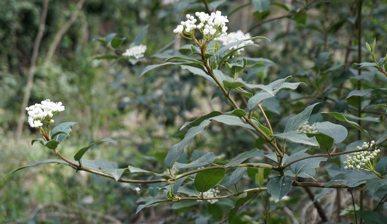
At the hospice, we forked right (south), passed the Glanum site and came to the start of the botanical trail (Sentier botanique) where a map of several hiking trails was displayed. The trail ascended in the Valley of Clerg, where there was information about the local flora at several spots. We continued as far as to a paved service road, forked left and continued along it, heading southeast. The crossroads to our goal was signposted, and we took a wide unpaved trail straight to the Rocher des deux Trous. This is the easiest itinerary with yellow markings to Le Rocher. Other options include shortcuts over the hills or a steep climb via Mont Gaussier.
As the name says, the Rocher des deux Trous is a steep rock formation with two big holes. Saint-Rémy-de-Provence and the surrounding plateau can be viewed through the holes. During the summer months, access to these trails is restricted due to the high risk of forest fire.
We returned along the same trail. It was a great day as we could combine history and hiking in the Les Alpilles Massif.
Our GPS track is shown below.
Distance: 8,3 km
Duration: 2h 30
Elevation gain: 238 m

Share story


0 comments:
Note: only a member of this blog may post a comment.