

Circuit hike above Le Broc

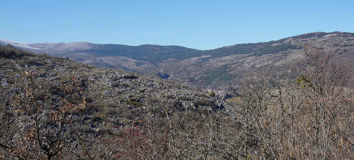
Here’s another great hike from the village of Le Broc (450 m). In spite of its proximity of the French Riviera, only about 15 km from Promenade des Anglais as the crow flies, this trail in the hills and mountains above Le Broc has a feeling of a wilderness. It is mostly barren and rocky brush land with sparse woods here and there.
Our trail passed some pastures during the ascent. The livestock may or may not be there. On the day of our hike, the was a flock of lambs not far from the trail. The guarding dogs approached us viciously, luckily the herder was on-site and commanded them back.

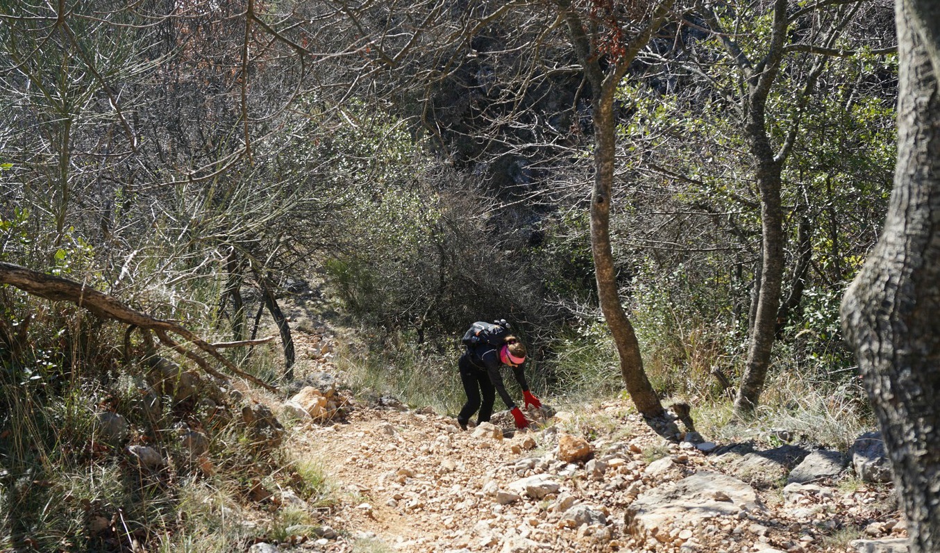


We started from signpost #1 in the centre of the village and followed the same itinerary (signposts #3,5) as on the previous hike to Mouton d’Anou as far as to signpost #137. Here we forked right heading towards Bézaudun along a forest track. It was still partly covered with ice and snow.
We came signpost #135 by a paved road not far from Bézaudun. We turned right, heading north east. We descended, passing a small community named Les Combes. The paved road ended soon, and we continued along a dirt track about 3 km, passing signpost #109. We came to a crossdoads and signpost #22 where we forked right and ascended to signpost #5, thus completing the loop.
Signpost #22 actually instructs you to fork left to reach Le Broc, which is the other option (a dirt track then narrow paved streets) passing the neighbourhood of Saint-Germain above Le Broc. Relevant signposts are shown in the GPS track below.
Distance: 13,7 km
Climb: 601 m
Duration: 4h 15 walking time
Map: 3642 ET Vallée de l’Estéron Vallée du Loup

Share story


0 comments:
Note: only a member of this blog may post a comment.