

Rimplas: The loop trail to la Couletta
Today’s hike starts from the charming and well-maintained village of Rimplas (1000 m). The village overlooks the Tinée Valley in the west and the Bramafan Valley in the east. 60 km from Nice, Rimplas can be reached by taking the RD202 road to La Mescla, where the 2205 road forks to the Tinée Valley. Just after la Bollinette and two short tunnels, the 2265 road branches right and zigzags up to the Bramafan Valley. Above the hamlet of les Vignes, the RM66 road turns left and climbs to the village.
The loop trail is called Circuit de la Couletta in the French guide. Its path is well marked and mostly soft, only the final part back to the village is a bit rocky. The trail winds partly in sparse pine woods, partly along bare mountain slopes. Most of the time the trail offers great views down to the Tinée Valley, to small villages nearby, and to several high mountain summits.


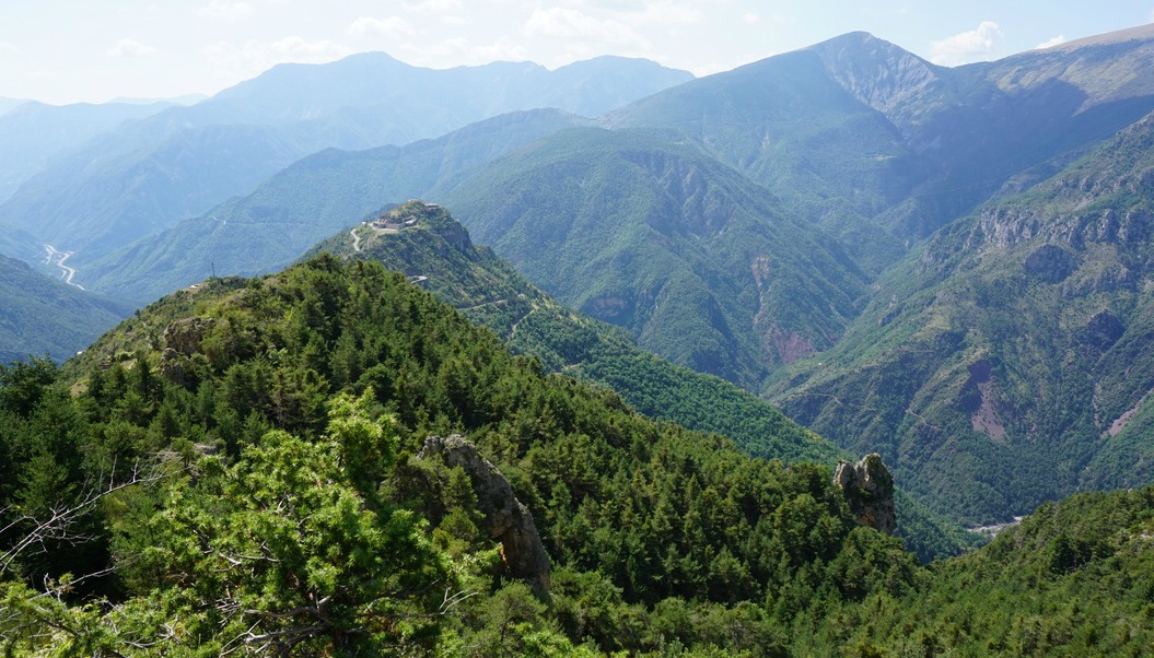


From the village centre (signpost #153) we ascended along a paved alley about 150 m to signpost 157, and continued from there heading north along a good trail (yellow marks). The signposts showed the direction to la Couletta. We passed signposts # 166 and 166a. Most of the time we had unobstructed views down to the valley. At La Couletta, we dove in the woods, ascended a bit, and reached the well-marked turning point. After that, we came very soon to a clearing that was an excellent spot for our picnic. The trail now headed south back to Rimplas along the same sunny mountain slope, just a little higher.
We continued towards signposts # 158 and 158a passing a water reservoir and a few huts. We then descended along a panoramic crête du Serre. Here, some parts of the trail were a bit rocky, but not at all difficult. We came to a paved road, walked past some new houses, and descended along stairs that took us directly to signpost #157.
Walking time: 3h 30
Elevation gain: 400 m
Map: “Moyenne Tinée” IGN 3641 ET
Share story


0 comments:
Note: only a member of this blog may post a comment.