

Hike above the Sanctuary of Sainte-Anne

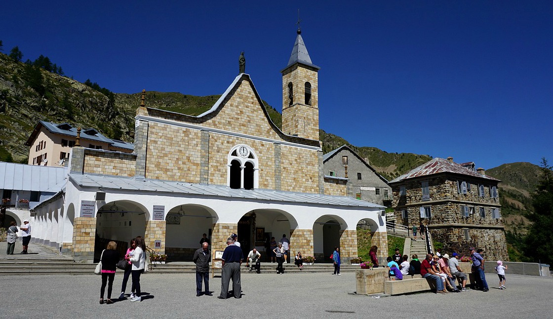
The Sanctuary of Sainte-Anne is situated at 2035 m altitude in the commune of Vinadio in Piemont. It is said to be the highest sanctuary in Europe. The legend goes that Sainte-Anne suddenly appeared to a young shepherd and asked her to build a chapel at the site.
In summer, the sanctuary is very popular, especially on the 26th of July, fête de la Sainte-Anne, and on the 15th of August when the pilgrimage takes place. A hotel, restaurant, refuge and bar-café are built near the church. Parking is good and spacious in front of the hotel and the refuge.
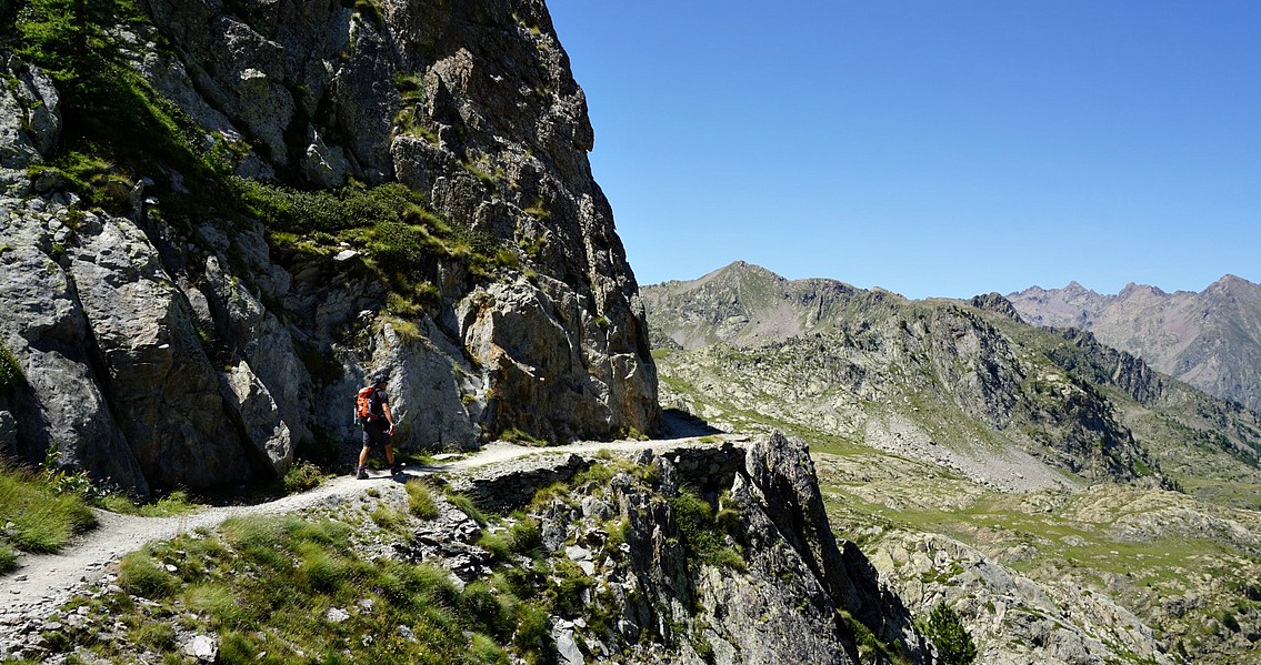
The sanctuary is a good starting point for several hikes. The hike we describe here is called Tour du Laufser in the French Guides Randoxygène. The hike goes partly on the Italian and partly on the French side. On a clear summer day, it is very popular and offers beautiful views.
We first drove to Isola 2000 and crossed the border at Col de la Lombarde (2350 m). The road on the Italian side is very narrow but paved. From the col, the road winded downhill about 8 km to the intersection of the Sanctuary, then ascended the last 2,5 km.


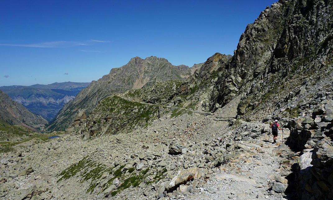
From the Sanctuary (signpost # 341), we first walked along a narrow paved road straight south a few hundred meters to signpost #342, then forked right following the trail to the Lake of Ste-Anne (signpost #343), and continued ascending to Pas de Tesina (2400 m; signpost # 344). The trail ascended gently and there were several shortcut trails for those who want to climb more steeply.
From Pas de Tesina we continued along a good but a bit precipitous trail to Col du Saboulé (2460 m) where we also crossed the border to France. From here, we descended passing the Lausfer Lakes, then climbed to Col du Lausfer (2430 m) and crossed the border again. The following part of the trail was again a bit precipitous and rocky but nevertheless wide enough. We reached the last mountain pass, Pas de Sainte-Anne (2308 m) rapidly. From here, we followed a wide ex-military trail back to the sanctuary. It was possible to make several shortcuts here as well.
Climb: 520 m

Duration: 4 h
Map: IGN 3640 ET Haute Tinée 2 Isola 2000
Image of trail courtesy of Google Maps


Share story


0 comments:
Note: only a member of this blog may post a comment.