Boréon: Lacs Bessons 2545 m

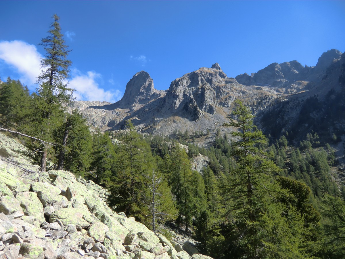
The upper region of Boréon is extremely popular during the summer season. The magnificent forest, good variable trails, and super views over the mountains…Most of the trails go inside the Mercantour National park. Here you can find everything from leisurely walks to demanding Alpine trails.
One of the classic hikes goes up to Lacs Bessons (2545 m). The twin lakes are located in their basins under Tête de la Ruine (2984 m) and several other peaks approaching 3000 m.
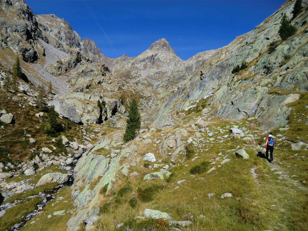
The main season for this hike is from July to October. The first part of the trail is the GR 52; we used the lower parking at 1600 m. The upper parking is at 1660 m altitude but mind the potholes in the last part of the road! We followed the GR 52 heading to Refuge de Cougourde to signpost # 423 and further to signpost #424. This is the crossroads where we turned left following the narrow path in the woods. It is neither signposted nor marked with any colours, just cairns, heaps of stones. We followed closely the trail to Vallon Sangué, and came gradually above the tree line. Here the trail leveled off a bit, heading northwest. We crossed the stream that ran in the valley a few times. At the confluence of two streams the trail headed north, and started to climb steeply again. We ascended to Lacs Bessons Valley. Once again we crossed the little stream before climbing steeply northeast in a rocky mountain slope. After this ascent, we again turned north then northwest and then finally the first lake was in front of us. The landscape was truly sauvage. On the way up, we saw numerous marmots a few chamois. The solitude was remarkable. We heard the marmots’ screams but nothing else.
We climbed a little further, and could see the upper lake and the isthmus between them. We had our picnic by the lakes, and then returned along the same trail. Serious hikers might consider continuing to the nearby peaks such as Tête de la Ruine.
This itinerary is recommended only in good weather. Poor visibility and rain can make some parts of the trail dangerous.
Total ascent: 940 m (from the lower parking at Boréon)
Duration: 6 hours
Map: IGN Vallée de la Vésubie 3741 OT
Trail image courtesy of Google Maps


0 comments:
Note: only a member of this blog may post a comment.