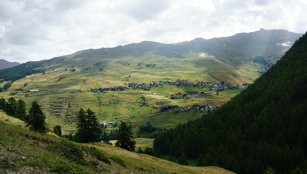
Hike along GR 58 from St-Véran

Our second day in St-Véran (2040 m) started with rain and thunder. However, after breakfast the weather improved, and we decided to start the hike along the GR58 towards Ceillac.
Our initial goal was Col des Estronques (2651 m) and the nearby Tête de Jaquette (2757 m) roughly halfway between St-Véran and Ceillac. The trail first descends about 200 m from the village centre, then ascends about 800 m to the mountain pass.
The trail was good and well-marked (GR trails usually are). We first climbed rather steeply in the beautiful woods. This trail was much less frequented than yesterday’s trails from Chapelle de Clausis. Once past the tree line, we reached a verdant alpine meadow where the ascent was less strenuous. Col des Estronques eventually came visible in front of us. Unfortunately, at the same time, the weather deteriorated rapidly. We had about 50 vertical meters left to climb when a fierce thunderstorm was right above us. The mountain pass in front of us disappeared. We had barely time to grab our raincoats when the rain started. We now saw several hikers carrying large rucksacks coming fast down from the Col des Estronques, probably doing the several day Tour of Queyras.
We descended rapidly. Luckily the weather often changes quickly in mountains. After about 30 min or so the storm had passed, there were even some sunny spells, and we could enjoy our picnic on a mountain side further down.
In spite of not reaching our goal on this hike, we actually did more climbing than on the first day. Don’t try to push on in high terrain when the weather is deteriorating. We knew that it could happen, and chose an itinerary from where it was easy to turn around if needed.
Total climb: 750 m + 200 m = 950 m
Duration: 5 h
Map: IGN 3637 OT
Trail image courtesy of Google Maps
Subscribe to:
Post Comments (Atom)


0 comments:
Note: only a member of this blog may post a comment.