

Hike to Grand Glaiza 3293 m
The summit of Grand Glaiza (3293 m/10804 feet) in Queyras can be ascended from south by following a very long ridge called Crête aux Eaux Pendantes. The northern side of the mountain facing Italy is very steep.
Experts claim that ascending Grand Glaiza is easy. Even so, to reach this altitude means that you need to negotiate some steep parts, and the final ascent always is rocky, and often lacks a visible path. In any case, the ascent is long, and the altitude takes its toll.
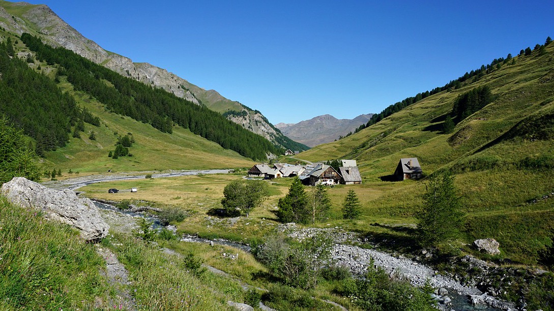


We started the ascent from the refuge of Torrents les Fonds (2040 m) in the beautiful and tranquil valley of la Cerveyrette. From the village of Cervières, we drove along a good albeit narrow paved road D89T to the parking les Fonds just before the refuge.
We crossed the river after having passed the refuge, and found the signpost showing the GR58 trail towards Col du Malrif (2866 m). The trail first ascended gently in the verdant valley. In south, the summits of Pic Lombard (2975 m) and Petit Rochbrune (3078 m) and their steep northern precipices dominated the scenery. The trail followed the stream named Pierre Rouge for quite a while, to about 2500 m altitude. The mountain ridge was now well visible in front of us. We climbed along a steep and rocky trail as far as to Col du Petit Malrif (2830 m). From the mountain pass, we already had a great view of the biggest of the Malrif Lakes namely le Grand Laus below us. We continued heading northeast climbing to the nearby Pic du Malrif (2906 m). From here, we admired the nearby peaks, notably the majestic Mont Viso (3841 m).
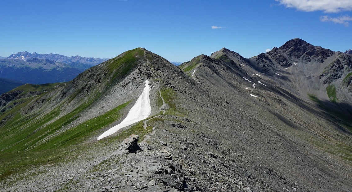
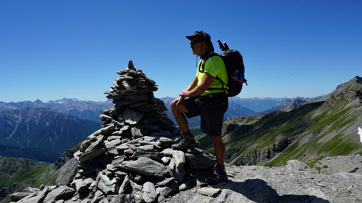
From Pic du Malrif, we descended a little along the trail to Col du Malrif (2866 m). At this point, we left the GR58 trail and followed the well visible trail along the long mountain ridge. There were only cairns, no other marks. Some parts of the trail ran in gentle grass, but the higher you ascended, the rockier the trail came. Our goal, Grand Glaiza was looming in front of us. Once over 3000 m, we started to feel the altitude when struggling uphill. The last 30 vertical meters or so became a bit difficult as the trail was hard to see. The terrain was rocky with a lot of moving slate. Once at the summit, the verdant Thures Valley on the Italian side was seen over 1000 m below. In north, the partly snow-covered Vanoise summits were visible but some clouds prevented from seeing Mont-Blanc.
We returned along the same trail and had our well-deserved picnic a bit lower.
Ascent: 1250-1300 m

Duration: 7,5-8 h

Map: IGN 3536 OT and 3637 OT

Share story


0 comments:
Note: only a member of this blog may post a comment.