Hike to Refuge de Cougourde in Mercantour
www.lonelyplanet.fr (link in French) recently listed the Mercantour National Park among the world’s 10 most beautiful National Parks. A well deserved nomination although not presented as such on their English web sites. There are 600 km of marked hiking trails within the park. The nearest major point of entry is only about 70 km from Nice. This is where the Alps end and meet the Mediterranean Sea.
Today’s hike starts from the upper parking of Boréon from signpost 420 (1670 m alt.) Boréon just a few km north of St-Martin-Vesubié is a popular point of entry to Mercantour.
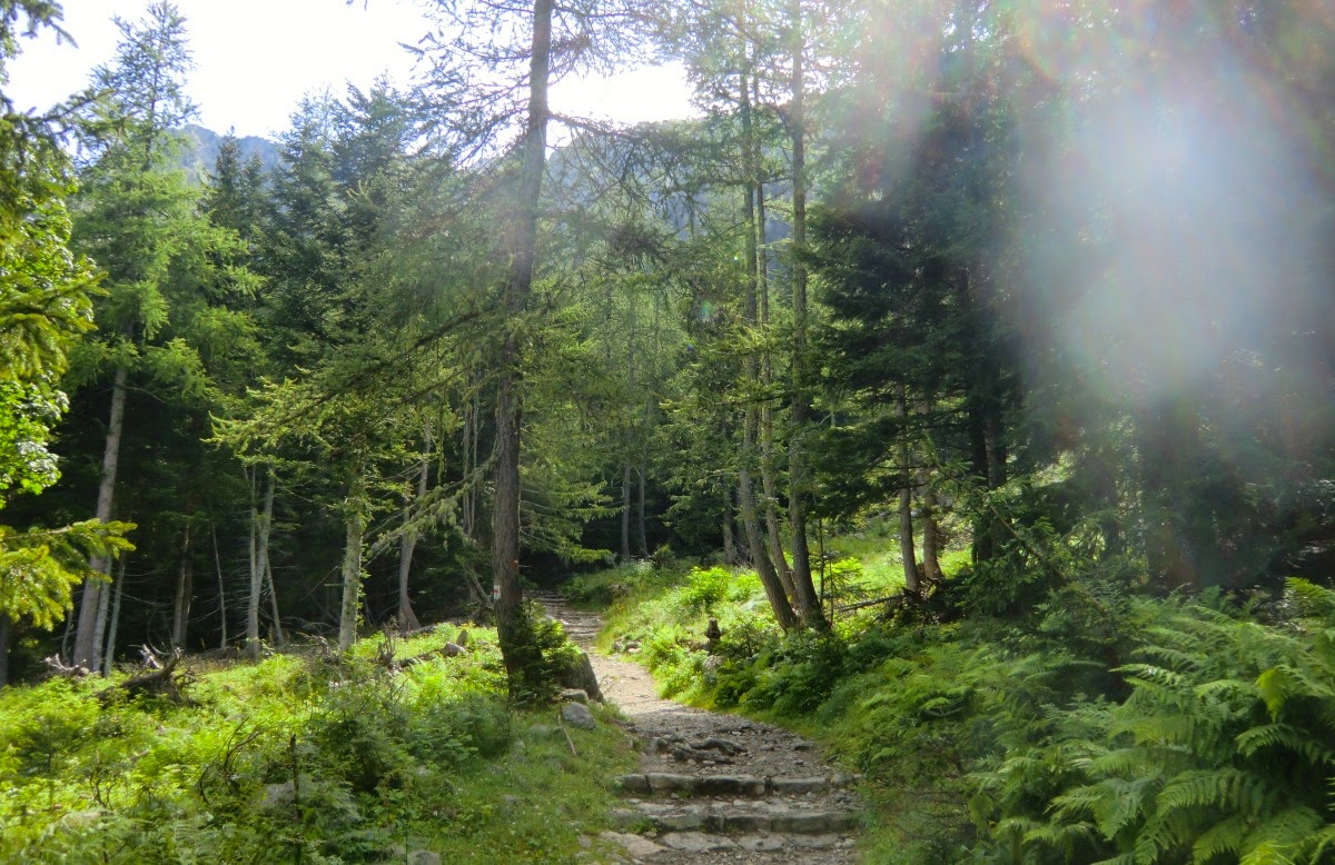
The trail is good ascending nicely in a variable terrain to signpost 424. The only drawback was that the trail was quite soiled by cow excrements!
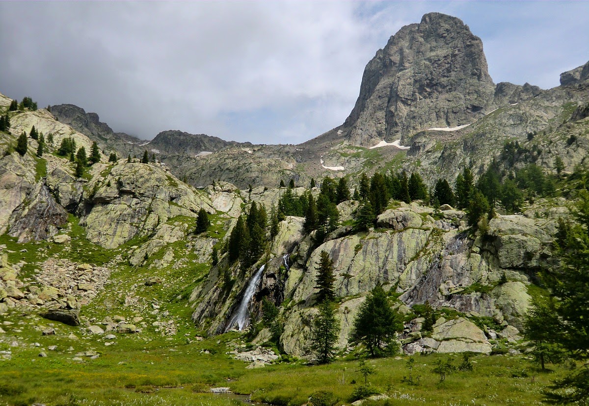
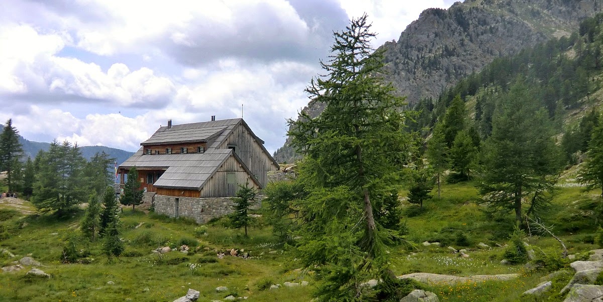
From signpost 424 we first ascended to Refuge de Coucourde at 2100 m. We recommend that you actually walk a little bit past the refuge. There is a beautiful and peaceful spot for picnic just opposite the steep Cougourde mountaintop (2921 m). It is a great place to spot chamois as well, we saw them twice.
From signpost 426 near the refuge we took the trail to Lake Trecolpas (2150 m). From the lake there’s a great view to Cime d’Agnelliere (2700 m), a peak we recently ascended, and to Pas de Ladres which is the mountain pass to the next valley and Madone de Fenestre.
This is a great hike for almost everybody. Many families were out. Only some parts of the trail require certain agility. In spite of its popularity, it is always possible to find a peaceful spot in the nature. The views are truly great!
Ascent: 500 m
Duration: 4 h
Description in French here


0 comments:
Note: only a member of this blog may post a comment.