

Above Millefonts Lakes

We have previously described our hike to Mont Pépoiri (2674 m) from the Millefonts parking (2040 m). The road up here from St-Dalmas Valdeblore is narrow with some potholes, but nevertheless drivable with a normal car.
This time we wanted to explore another trail in this popular region. Starting from over 2000 m altitude, you are already in an Alpine environment above the tree line.
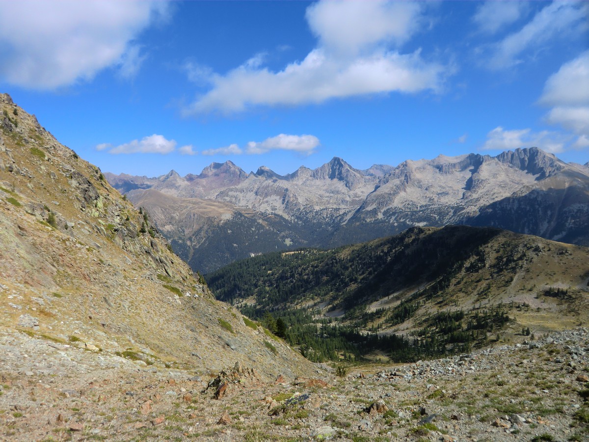


We first climbed to Col de Veillos (2194 m; 30 min). At the crossroads here, we took the trail that forked left heading north to Lac Petit (2229 m), which in spite of its diminutive name is in fact the largest of the Millefont Lakes. Above the lake, we left the yellow-marked trail and forked left following a trail in a gentle grassy terrain. There were some cairns here and there. Navigation was easy as most of the time we had Col Ferrière (2484 m) in sight. The terrain was easy; you could walk almost anywhere. We reached the mountain pass after 1h 50. It was also the border of Mercantour National Park. We had great views to north, towards the peaks surrounding the Isola 2000 resort as well as the Mercantour summits, many of them marking the Franco-Italian border.
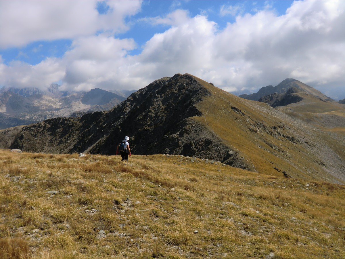
We continued heading east along the mountain ridge, and climbed to our first summit called Brec du Col Ferrière (2518 m) 10 min later. After a brief descent, we ascended next to Tête des Marges (2550 m) 2h 30 after the start, soon followed by Tête du Barn (2529 m) nearby.
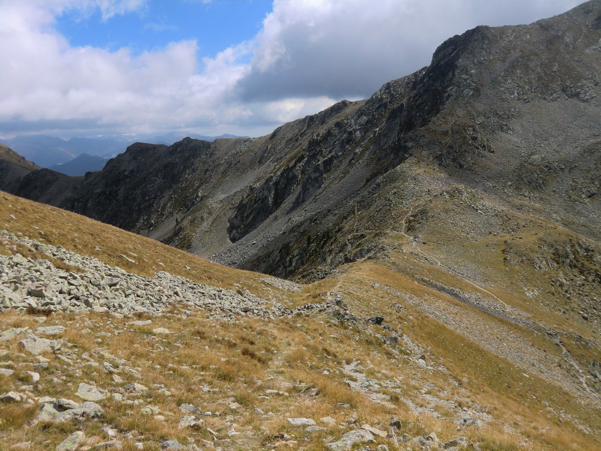
We continued along the ridge, descending to Col du Barn (2453 m/ 3h 10). This mountain pass is at the crossroads to Mont Pépoiri and the GR 52 trail.
Having done three nice peaks already, we forked right, and followed the GR 52 back to the starting point. Ascending to Pépoiri and taking the “off-piste” route via Lac d’en Veillos back to the parking would mean about 250 m more climbing and roughly one hour more hiking time.
Ascent: about 550 m
Duration: 4h 30
Map: 3641 ET Moyenne Tinée

Trail image courtesy of Google Maps
Share story


0 comments:
Note: only a member of this blog may post a comment.