Chickpea starter

Chickpea starter


In a small restaurant in Nice, we once had a clever starter: chickpea purée topped with some whole beans, olive oil, and chopped herbs. The restaurant is known for its innovative and gourmet cuisine. This kind of starter is also very healthy; it increases your blood sugar slowly and is good for your heart.

2 servings

A glass jar of 250 g cooked organic chickpeas
½ clove garlic, pressed
4 tbsp. fromage blanc or thick Greek yoghurt
Juice of ½ lemon
Freshly ground black pepper
3 tbsp. olive oil
About 2 tbsp. chopped fresh herbs

Rinse the chickpeas under running water. Save some beans for decoration and place the rest in a food processing bowl. Add the fromage blanc / Greek yoghurt, pressed garlic, lemon juice, black pepper, and 2 tbsp. olive oil.

With a food processor or a handheld mixer, purée the chickpeas into a nice consistence. Divide the purée on two small plates. Add some whole chickpeas on top and sprinkle with 1 tbsp. olive oil. Decorate with fresh herbs.

Hike to Lacs de Vens

Lacs de Vens near signpost#27


This must be one of the classic destinations in the Mercantour National Park!
The six (or so) beautiful lakes in the upper Vens Valley can be reached from the Vens parking or Le Pra a bit further away by the D64 road. We chose the first option, which is shorter in distance.

The start is at 1550 m elev. and in spite of a vertical ascent of about 850 m the trail is never too steep or difficult. In fact, during the high season in summer, the parking is often packed with cars as this is the principal itinerary to Refuge de Vens.


We walked first along a dirt track as far as to Torrent de Vens where we crossed the stream along a wooden bridge,passerelle, to signpost #21. We started to ascend following the left bank of the stream. At 1850 m, we crossed the stream again along a very good bridge. The incline of the upper valley became steeper, but for the hiker the zigzagging trail ensured an agreeable ascent.

We reached signpost #22 (2293 m), forked right and climbed to Pas des Pecheurs above one of the lakes. We descended to signpost #27 by the lake, where we found a good spot for our picnic.

Since the weather was deteriorating, we decided to skip the smaller southern lakes, and took the trail that circled along the shores towards Refuge de Vens. Light drizzle started on and off. It was late September and the refuge was now closed.  We turned to signpost #24 near the refuge, then climbed to the crossroads and signpost #23 (at 2400 m the highest point of this hike). From here, we continued to signpost #22 and took the same path back to our starting point in the valley. On the way down, a lone chamois crossed the trail just in front of us.

In this magnificent part of Mercantour Park, you can choose several itineraries depending on the time of the year, the weather and your preferences.

Our itinerary is shown below, with relevant signposts marked.

Climb: 900 m

Distance: 15 km

Duration: 5h 10 active

Map: IGN 3639 OT Haute Tinée 1

Lacs de Vens trail track

Winter salad with beetroot tartare and chevre

Winter salad with beetroot tartare and chevre


The following recipe was inspired by a lunch in a small restaurant in Nice. This restaurant cleverly adapts its daily menus of a starter and a main course according to the seasons. I added some winter salad leaves and goat cheese, chevre, to the beetroot tartare to make it a complete, light lunch salad.

2 servings

2 peeled and cooked beetroots, pref. organic
2 tbsp. olive oil
2 tsp. freshly pressed lemon juice
Zest from ½ organic lemon
A handful of crushed hazelnuts
Two handfuls of winter salad leaves, such as rocket or baby red oakleaves
2 tbsp. olive oil vinaigrette
About 8 slices of goat cheese, chevre
1 tbsp. olive oil
Freshly ground black pepper
Chopped parsley or chives to decorate

Chop the beetroots and pace in a bowl. Mix with 2 tsp. olive oil, 2 tsp. lemon juice, zest from ½ lemon, and a handful of crushed hazelnuts. Divide this mixture in the centre of large plates.

Place winter salad leaves around the beetroot. Sprinkle vinaigrette on the leaves and top them with goat cheese slices. Sprinkle 1 tbsp. olive oil on the goat cheese slices and grind over some black pepper. Decorate the beetroot tartare with chopped herbs.

Serve the salad with some good country style bread, preferably rye bread.

Cime de Pal

At the summit of Cime de Pal 2818 m


Finally, the weather forecast was favourable for our ascent to Cime de Pal (2818 m) above the hamlet of Estenc (1778 m) in the upper Var Valley.

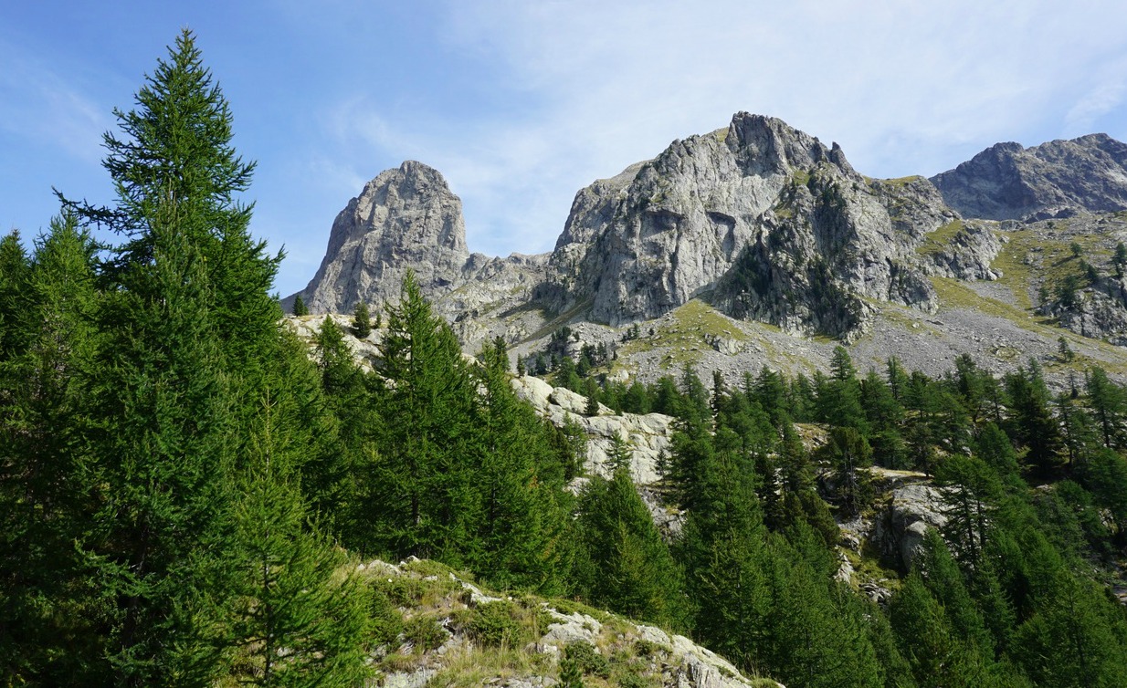
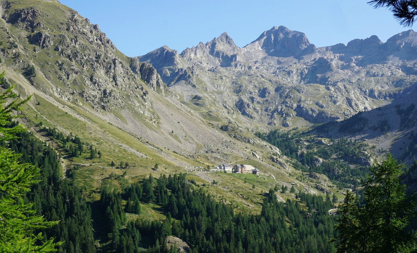
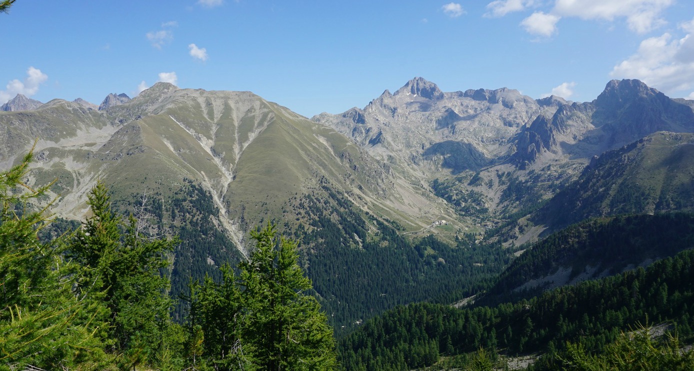
We had admired the silhouette of Cime de Pal from Auron, with its long ridge stretching to the north, and its quasi-vertical southern wall. The ridge has been praised by many mountain aficionados. The image below the map shows the mountain viewed from different directions.

We headed to Estenc from Nice on a chilly but clear September morning (a 2 h drive). The temperature in Estenc was just 6°C.


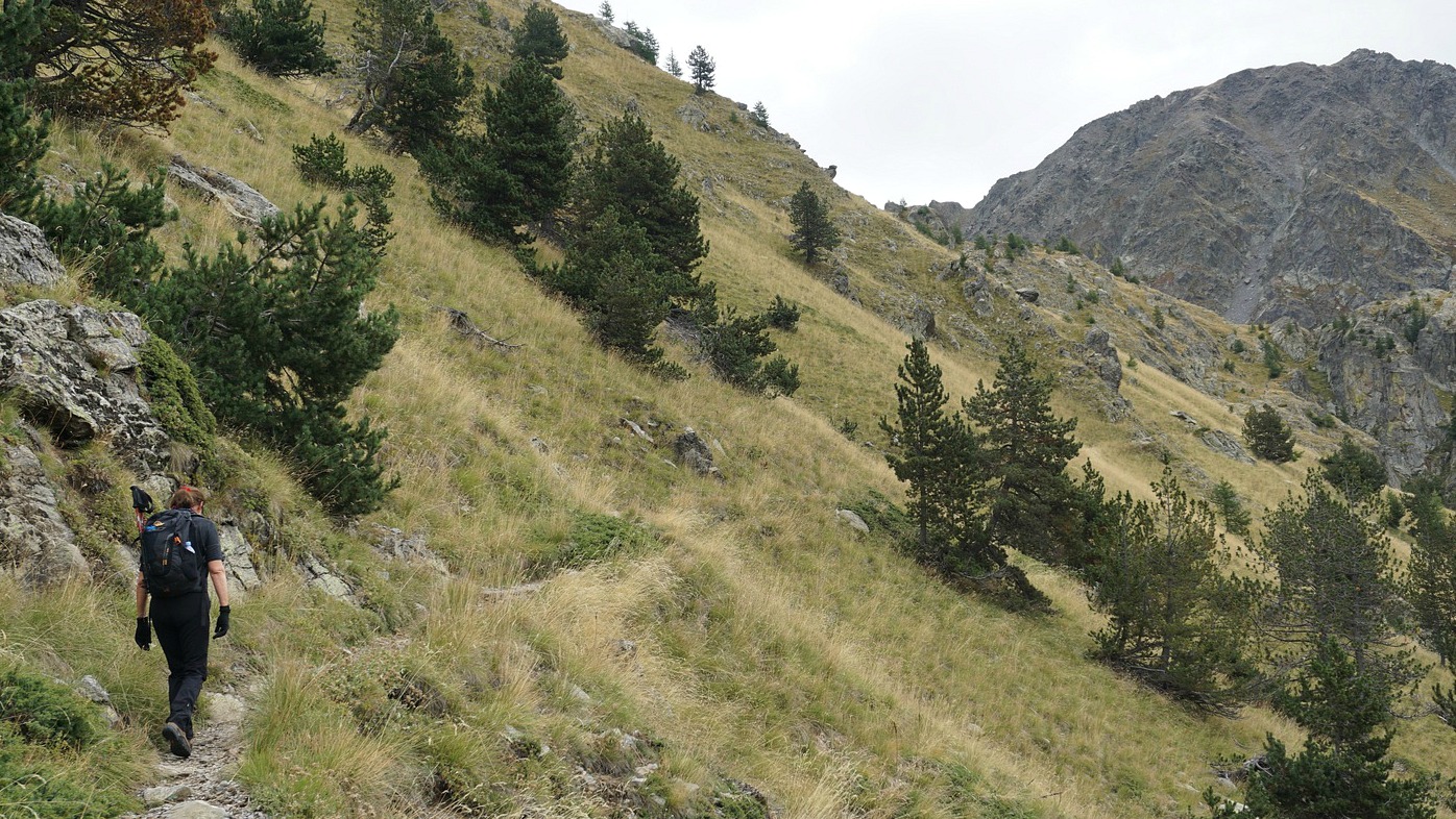
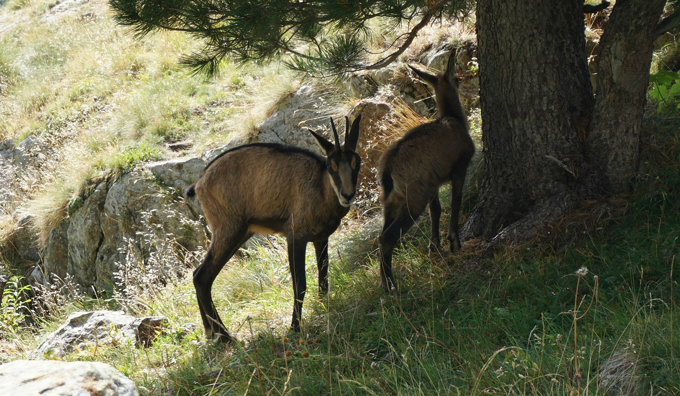
From Estenc (signpost #40), we started along the GR trail to Col de Gialorgues. We crossed the Var River, walked past several chalets before the trail proper began. We ascended, partly in the woods, to Pas de l’Estrop. Getting higher, we came to the vast l’Estrop Valley where progress was pleasant mostly along soft alpine meadows. The peculiar shape of Roche Grande (2752 m) was on our right-hand side.

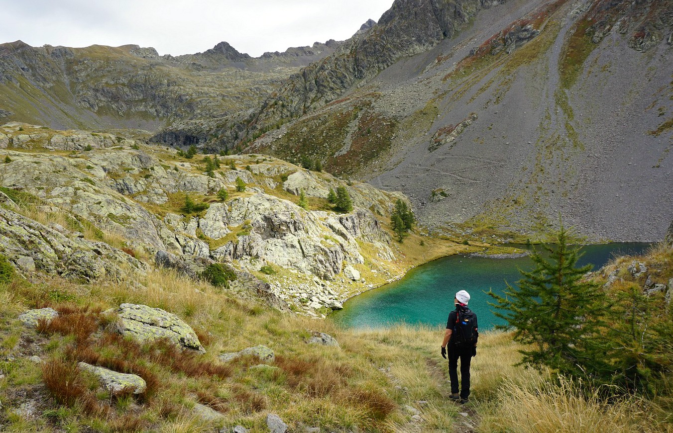
We reached Col de Gialorgues (2519 m). From here, even the summit of Mont Viso was visible in the distance. The main trail continued straight down to the Gialorgues Valley and St-Dalmas-le-Selvage whereas we forked right and climbed to Baisse de la Boulière (2629 m) along an ancient military trail. From here, our summit was visible in the south east.

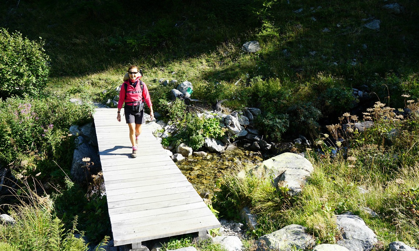
We now descended a bit along the narrow trail that went down to Entraunes. After about 400 m, we located an unmarked (albeit the cairns) trail that climbed up to the ridge. On a clear day, with cairns in sight, navigation was not difficult. The itinerary is marked with an interrupted line both in digital and paper IGN maps.

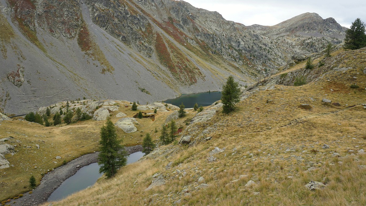
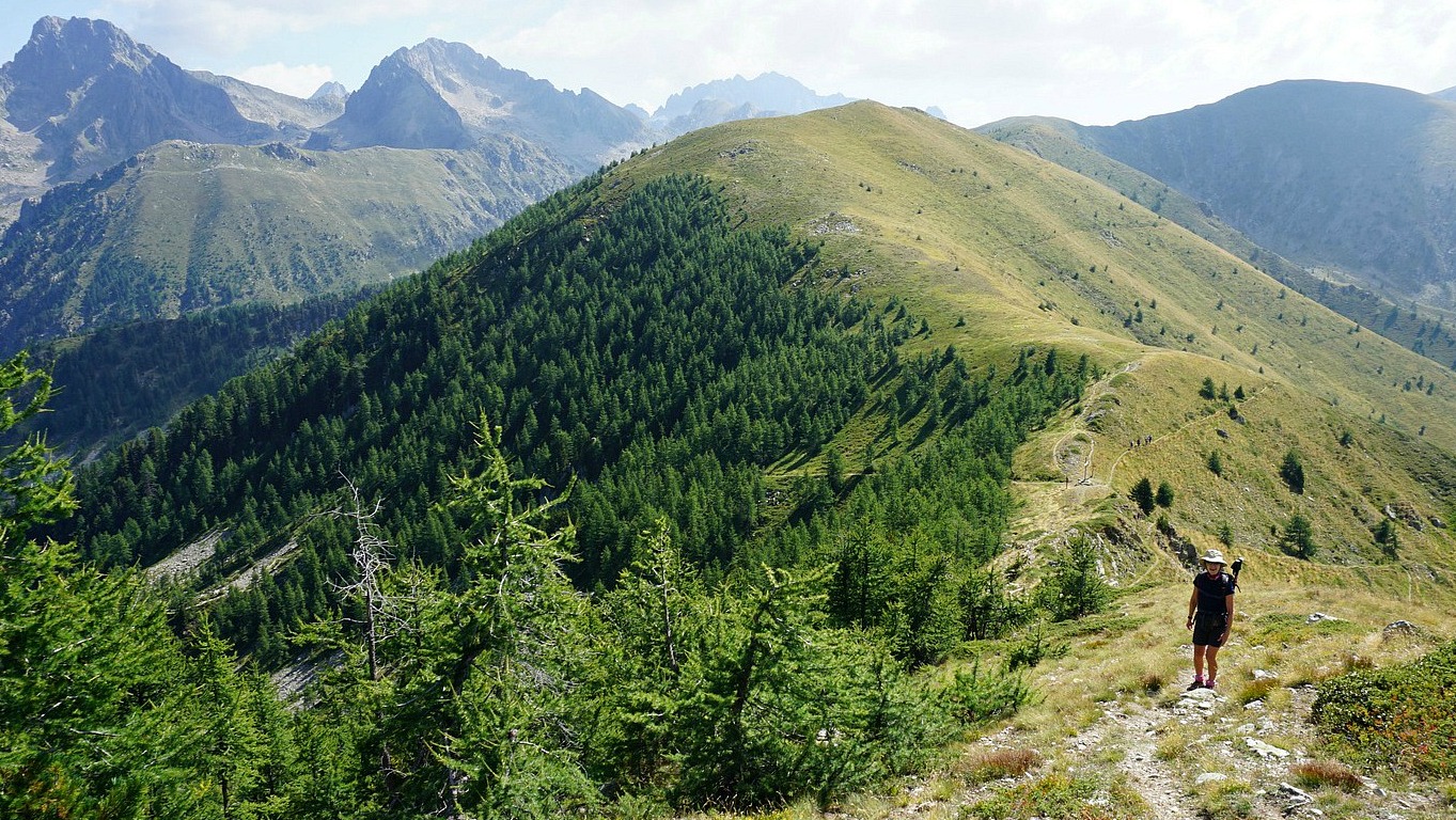
We were lucky to visit the famous ridge that connects Cime de la Gorgia, Cime de Bolofré and Cime de Pal on a clear and sunny day. We headed south, towards the summit, following the cairns. In places, the trail would have been almost invisible without them. Approaching the summit, the trail became steeper with some exposed parts. The narrow summit was marked with a big cairn. The wind increased, and it became quite cold in spite of the sun. We descended almost immediately, using the poles that were of great help (loose slate rocks).

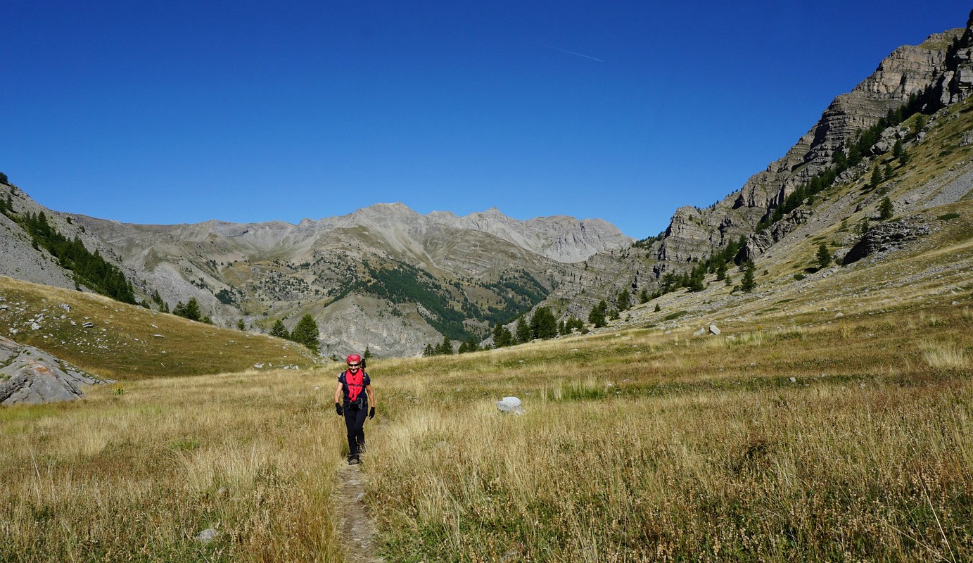
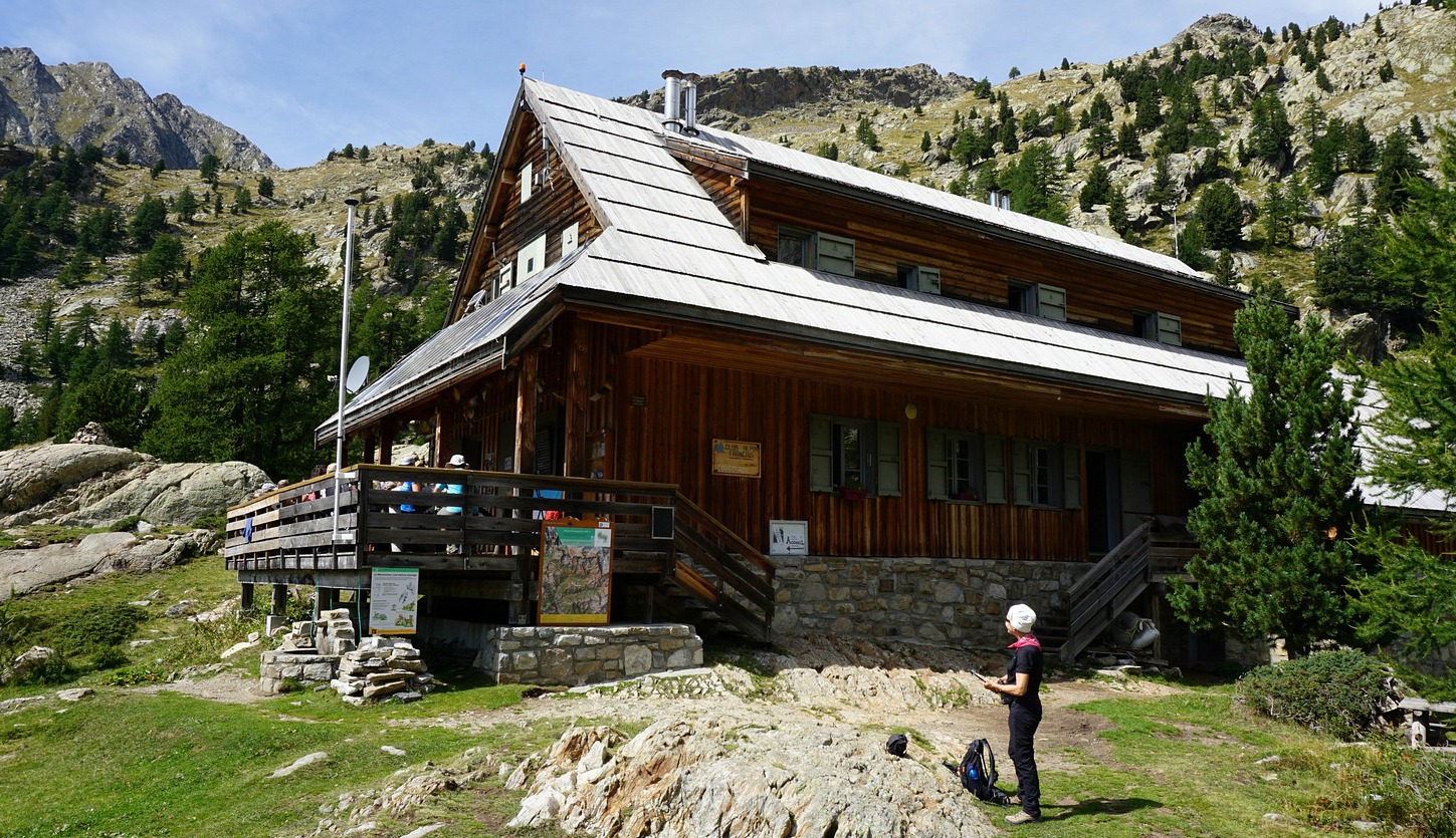
We took the same itinerary back but in the l’Estrop Valley had to make a small detour as the lamb flock and the guarding dogs were now roaming freely not far from the trail. In the morning they were still all inside the fence next to Cabane de l’Estrop.

Climb: 1100 m

Distance: 19 km

Duration: 7 h (active)

Map: IGN 3540 ET Haute Vallée du Var


Cime de Pal trail track

Cime de Pal viewed from different directions

Estenc

Lunch at Refuge de Cougourde

Chamois near Refuge de Cougourde


Mid-September, summer came back to the South of France. It seemed like a good idea to hike from Le Boréon above St-Martin de Vésubie to Refuge de Cougourde (2100 m). They serve lunch at the refuge till the end of September. All the supply is transported by donkeys from Le Boréon.


We drove to the upper parking of Le Boréon (1600 m) but had to find a spot a bit lower by the road as there was no space left. It was a gorgeous weekend. We ascended to the starting point of the trail which was also a GR52 itinerary as far as to signpost #425, hence well maintained and marked.

Ascending in the upper Boréon Valley, we passed familiar crossroads, first to Cime du Pisset and Piagu, then, higher up, the unmarked trail to the left to Lacs Bessons.

We reached signpost #425 and the crossroads to the refuge (forking left), and the GR52 to the Trécolpas Lake (right). From here, it took 25 minutes for us to reach the refuge. We saw several chamois that seemed to be quite used to hikers. It was lunchtime, and most tables on the terrace were already taken. Not surprisingly, the menu was limited but they served veal and pasta as plat du jour, which we opted for.

Surrounded by imposing peaks, the refuge is perfectly situated for a great high-mountain experience. Moreover, it can be reached with a moderate effort.

Climb: 500 m

Duration: 3h 10 active

Distance: 10 km

Map: IGN 3741 OT Vallée de la Vésubie
Cougourde refuge trail track

General location of Refuge de Cougourde

Mont Lapassé 2351 m from Madone de Fenestre

Summit of Mont Lapassé 2351 m


In the past, we have made several good hikes from Madone de Fenestre (1820 m), such as Cime de la Valette de Prals. This time we wanted to make a shorter hike to the still unexplored Mont Lapassé (2351 m). With a moderate effort, we were rewarded by a super 360° panorama at the summit!


We started our hike from a small parking at 1790 m elev. by the M94 road, just below Madone de Fenestre. From here, we took a shortcut (140 m or so) directly to the main trail that went to Vallon de Prals. We crossed a stream along a wooden bridge and came to a crossroads at signpost #362. At this point we forked right, into the woods, heading to a mountain pass named Baisse de Férisson. The left-hand trail went up to the Prals Valley, to Lacs de Prals etc.

The ascent to Baisse de Férisson (2254 m) was a continuous 400 m climb from signpost #362. At the pass, we had today’s goal about 100 m above us. The marked trail to Cime de la Palu circled along the southern flank of Mont Lapassé. We climbed to the summit along an unmarked trail. The summit was marked with a cairn and a stick, in fact two cairns very near each other.

Mont Lapassé is in the middle of a chain of mid-altitude 2000 m+ summits between the Madone de Fenestre and Gordolasque Valleys. In this region, it is possible to tailor make your hike shorter or longer, and ascend to several summits during one day if you wish.

We returned back to the valley along the same trail

Climb: 560 m
Distance: 8 km
Duration: 3h (Climb 1h 45) active
Map: 3741 OT Vallée de la Vésubie

Mont Lapassé trail track and location