

Mont Lapassé 2351 m from Madone de Fenestre

In the past, we have
made several good hikes from Madone de Fenestre (1820 m), such as Cime de la Valette de Prals. This time we wanted to make a shorter hike to the still
unexplored Mont Lapassé (2351 m). With a moderate effort, we were
rewarded by a super 360° panorama at the summit!
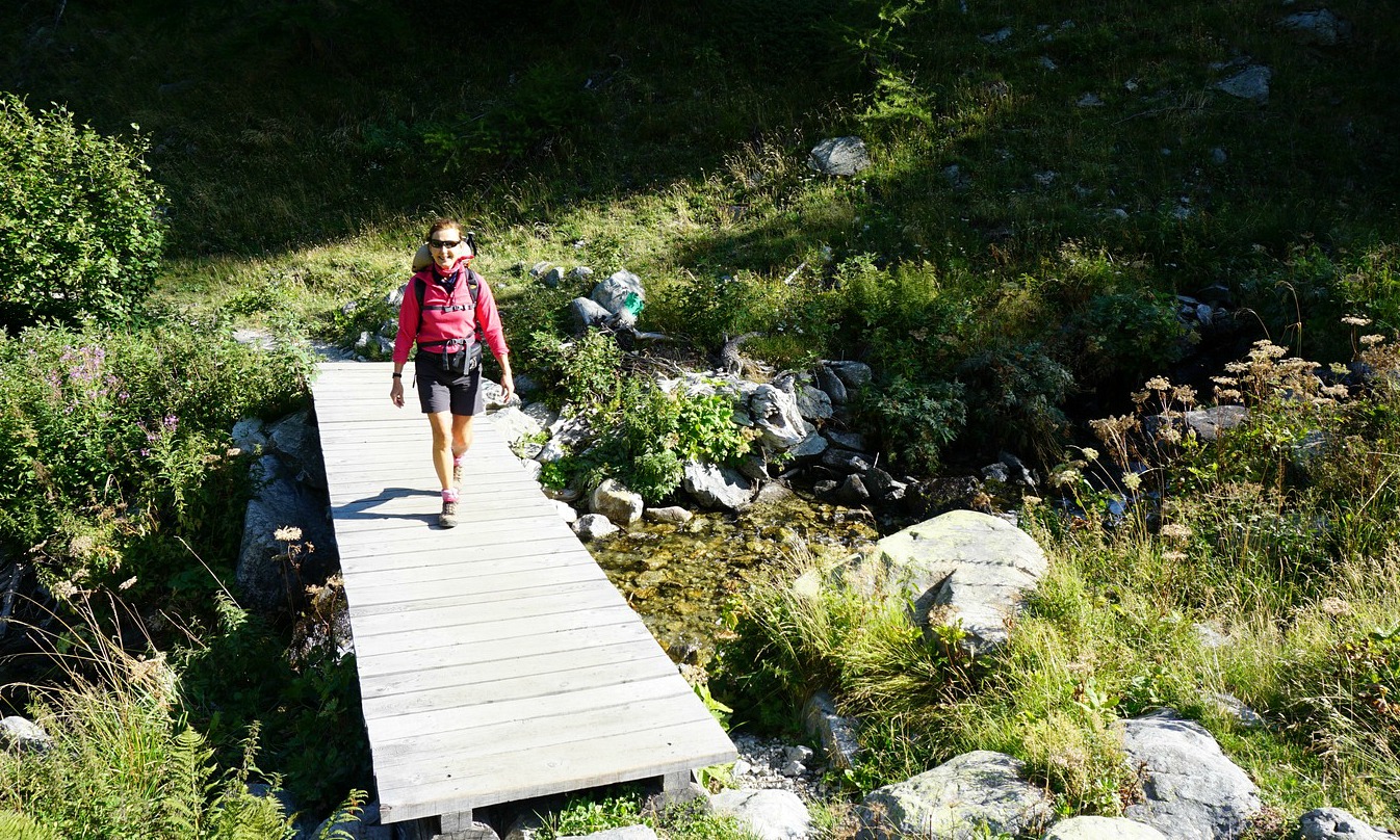


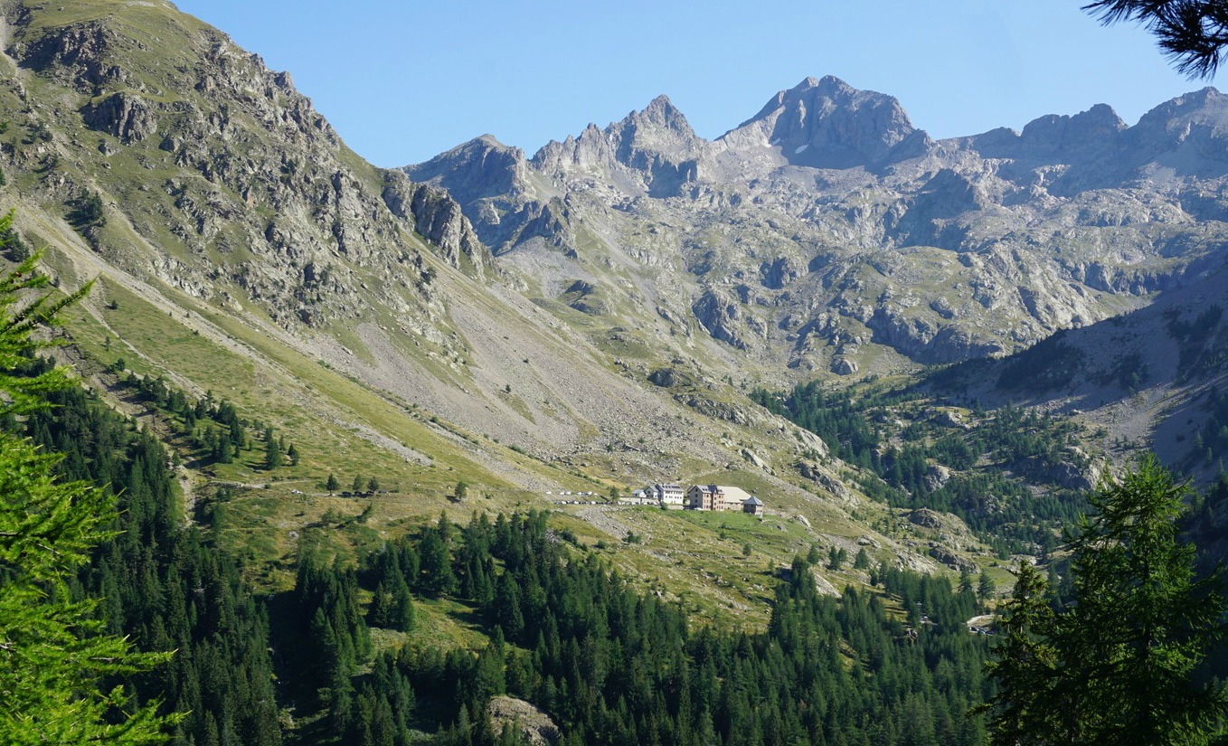

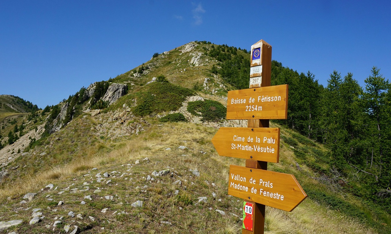

We started our hike from a small parking at 1790 m elev. by the M94 road, just below Madone de Fenestre. From here, we took a shortcut (140 m or so) directly to the main trail that went to Vallon de Prals. We crossed a stream along a wooden bridge and came to a crossroads at signpost #362. At this point we forked right, into the woods, heading to a mountain pass named Baisse de Férisson. The left-hand trail went up to the Prals Valley, to Lacs de Prals etc.
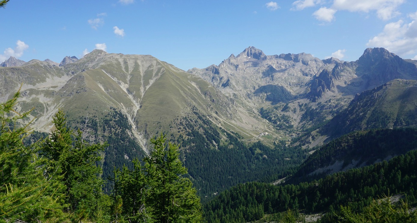
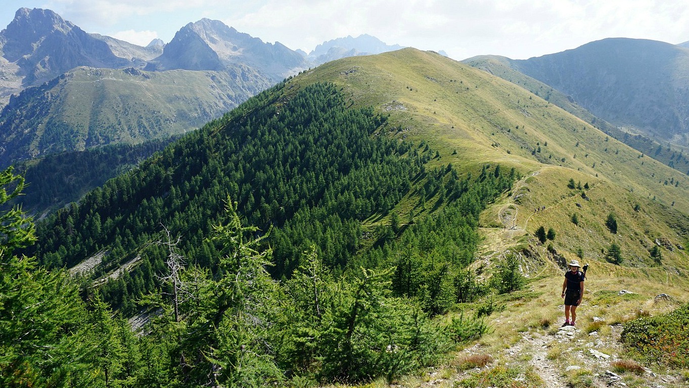
The ascent to Baisse de Férisson (2254 m) was a continuous 400 m climb from signpost #362. At the pass, we had today’s goal about 100 m above us. The marked trail to Cime de la Palu circled along the southern flank of Mont Lapassé. We climbed to the summit along an unmarked trail. The summit was marked with a cairn and a stick, in fact two cairns very near each other.
Mont Lapassé is in the middle of a chain of mid-altitude 2000 m+ summits between the Madone de Fenestre and Gordolasque Valleys. In this region, it is possible to tailor make your hike shorter or longer, and ascend to several summits during one day if you wish.
We returned back to the valley along the same trail
Climb: 560 m
Distance: 8 km
Duration: 3h (Climb 1h 45) active
Map: 3741 OT Vallée de la Vésubie

Share story


0 comments:
Note: only a member of this blog may post a comment.