

Cime de Marta hike

Many years ago, we tried to reach the summit of Cime de Marta (2135 m) starting from the village of la Brigue in the Roya Valley. On that given day, however, the village was en fête; full of people, Medieval spectacles, and police directing traffic, so we never found the starting point of the trail to Cime de Marta.
This time, we started the ascent from the Italian side from Rifugio F. Allavena at Colla Melosa (1545 m) in the Ligurian Alps.
We first drove to Ventimiglia, then took the SP64 road north, passing Dolceaqua then Pigna. After Pigna, we forked right to SP65. This road got very narrow with continuous hairpin bends but at least it was paved! At a place named Colla di Longan, we forked left to Colla Melosa.

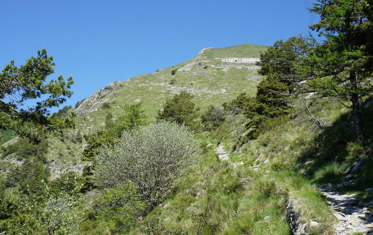

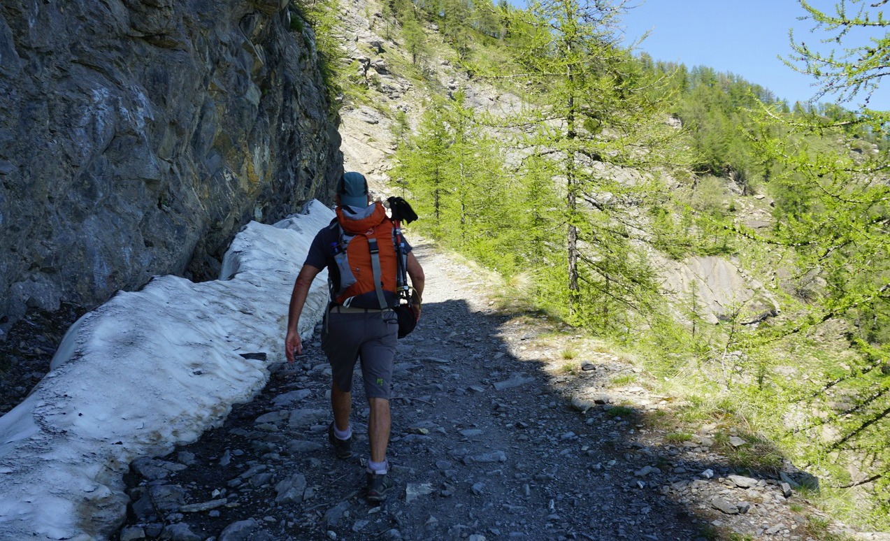


From Colla Melosa, we started along an old military track, then forked right to a path that went straight up to Rifugio Grai. It was a steepish ascent along a good trail. We came back to the military track, headed straight north along it, following the Franco-Italian border passing Col Bertrand (1979 m). We soon had Cime de Marta in sight, above the barrack ruins by the trail.
We continued along the dirt track a bit heading west, reached the ridge between Balcon de Marta and Cime de Marta where we forked right (east) and ascended to the summit hors sentier along the grassy western flank of the mountain. Wild orchids and violets decorated the alpine meadow but there were still large patches of snow on the northern slope. The summit was marked with a signpost (#254).
From the summit, we descended-again off-track-straight down to the barrack ruins and took the same route back to Colla Melosa.
The GPS track is shown below
Climb: 663 m
Distance: 11,3 km
Duration: 3h 30 (active)
Map: IGN 3841 OT Vallée de la Roya (the Italian side of the trail and Colla Melosa are visible on the French map)

Share story


0 comments:
Note: only a member of this blog may post a comment.