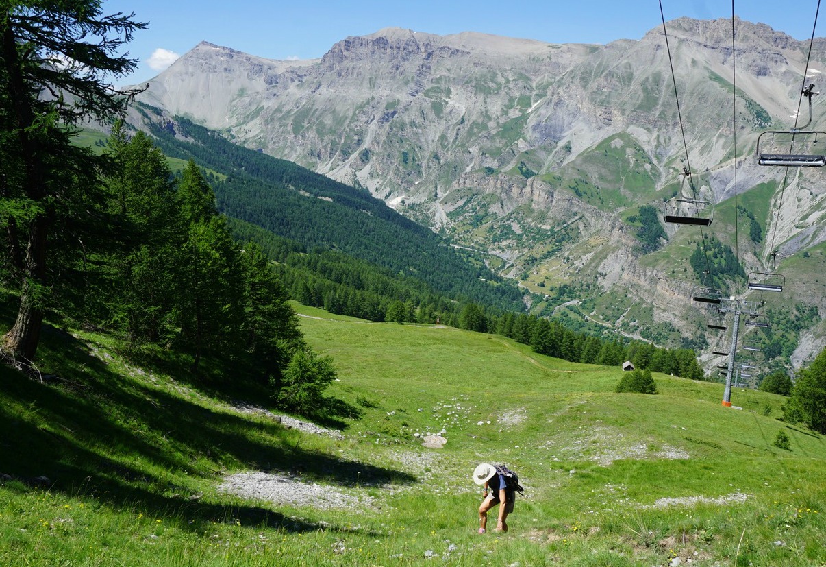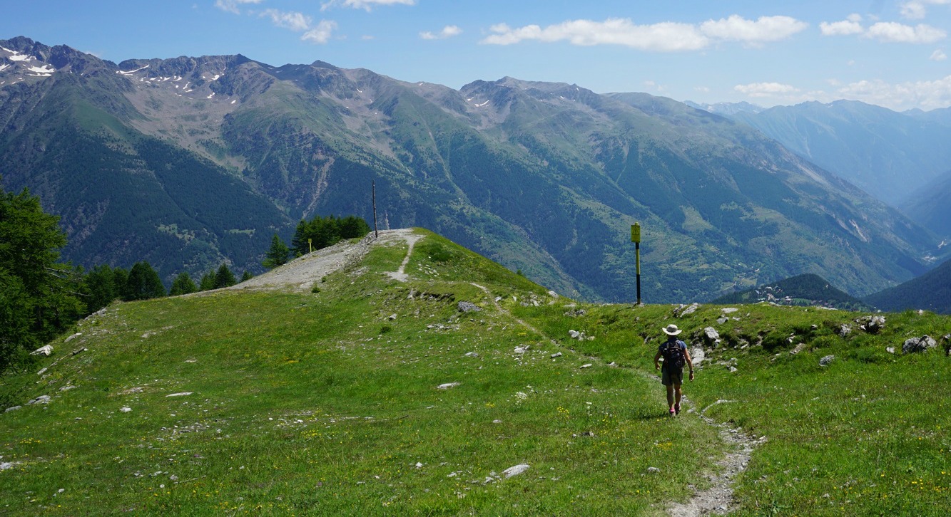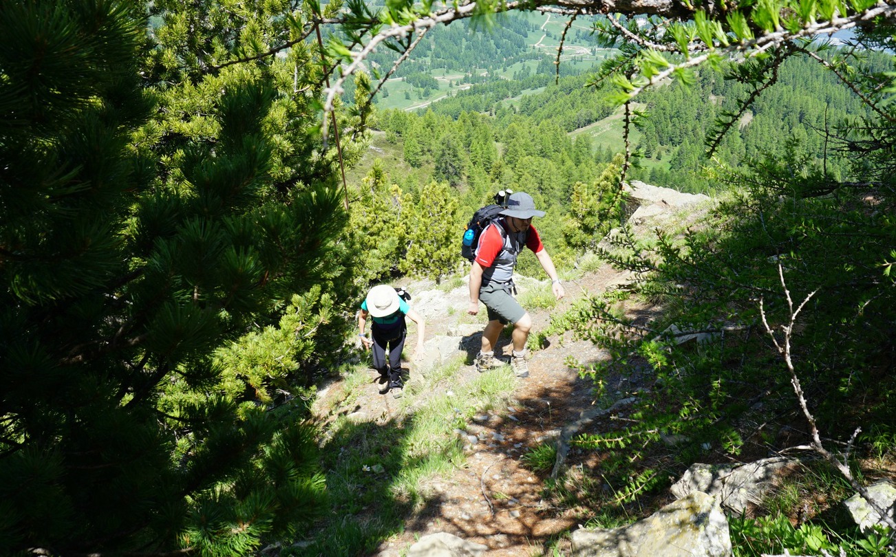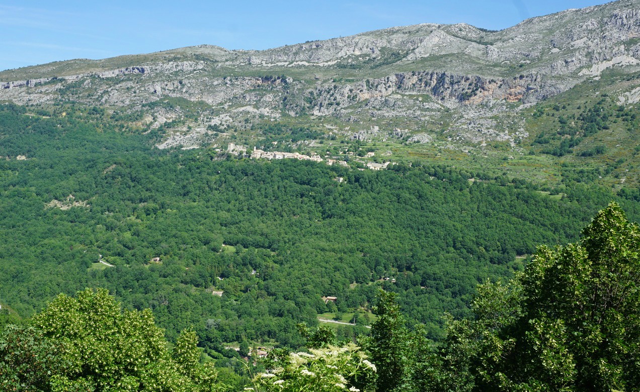

We had decided to conquer another easily accessible summit above Boréon. In this sector, we had previously hiked from the lower parking of Boréon to Cime du Pisset.
This time we wanted to explore the same beautiful ridge, now heading west as far as to Cime de Piagu (2338m).
The lower parking is the first one you hit (1,5 km) on the paved M189 road after the main concession building in Boréon. The road to the upper parking still seems to be potholed but driving there gives you a 50-60 m higher starting point.
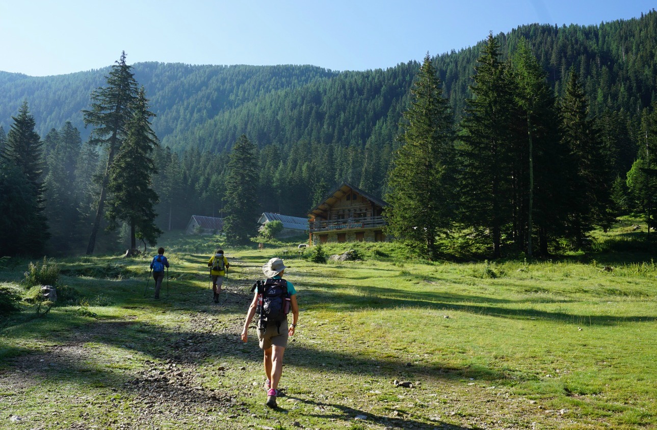
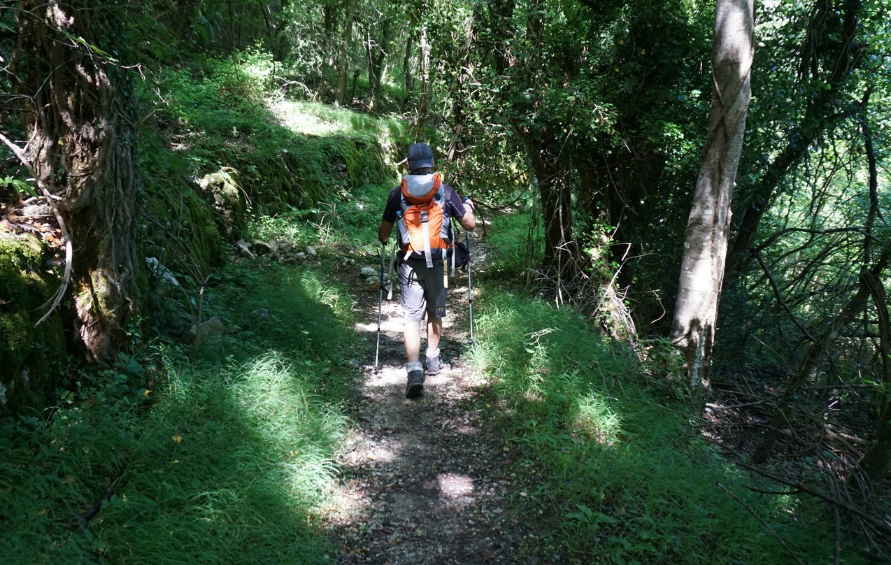
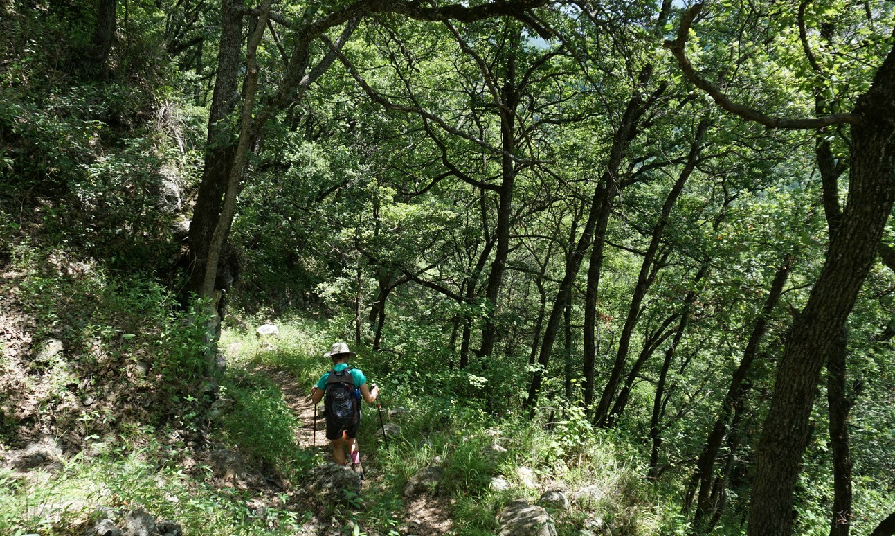
We started from signpost #419, walked past a small dairy and the upper parking where the wide main GR trail dove into the woods. After about 250 m, we left this trail, forked right at signpost #421 and started to climb in the Boréon Forest along a much steeper and rockier trail. We passed signpost #432 about halfway to the ridge.
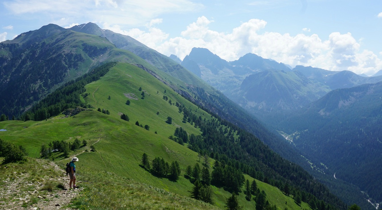
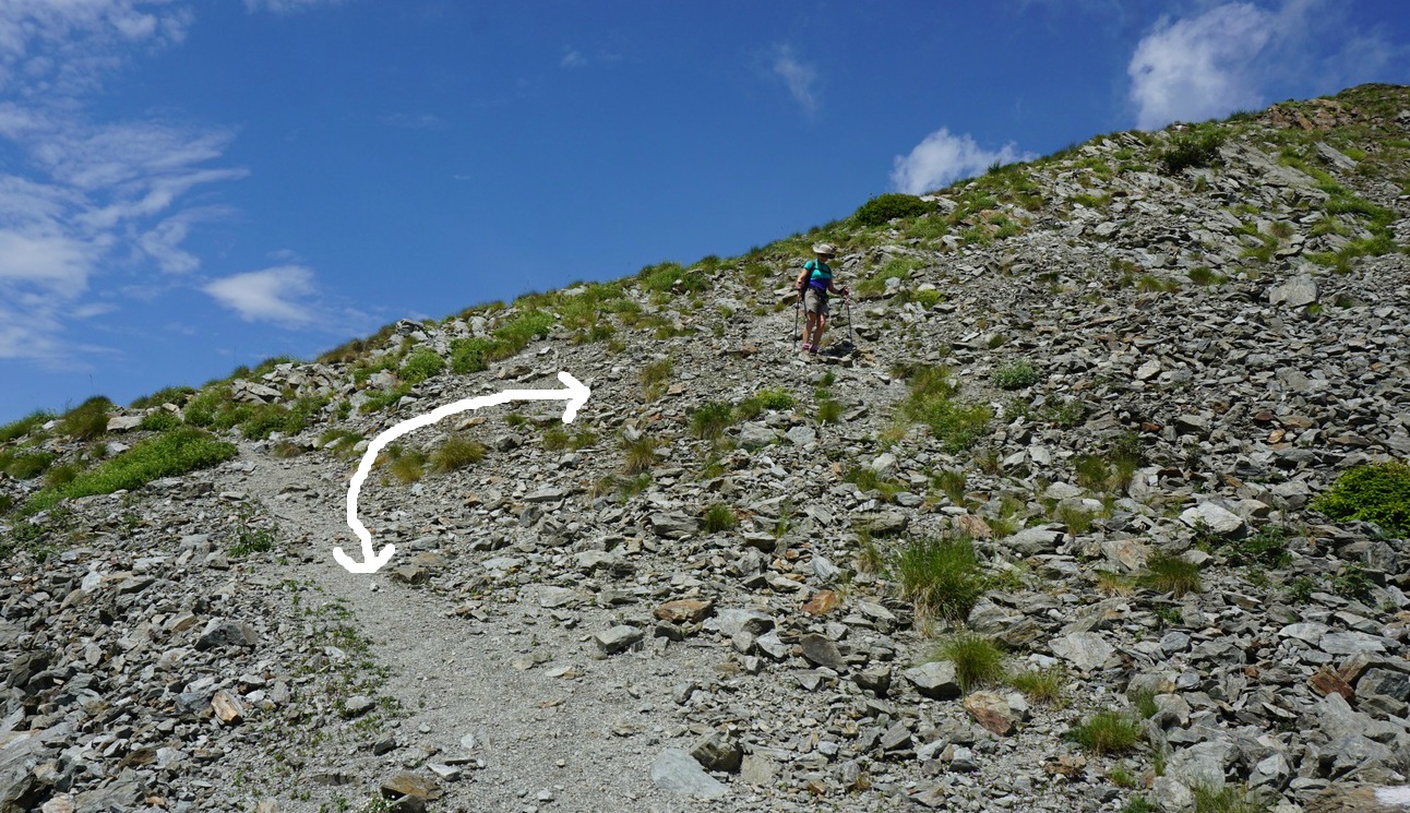
Eventually we came to a refuge (Refuge privé de la Mairis) and the vast mostly treeless ridge with undulating hills in both directions. At Col de la Mairis and signpost #431 (2124 m), we headed west. There were yellow marks here and there showing the trail. We saw our summit ahead and above us. Although navigation and progress were easy, there were many trails crossing the meadows. On the final push to the summit, we missed the direct trail to the summit, and instead followed a trail that circled the mountaintop. On the western side, the slope was grassy and we just climbed directly up to the top.
After a clear morning, high cumulonimbus clouds were rapidly growing in the east. Thunderstorms were forecasted for the afternoon. We descended along the eastern incline and had a short picnic break lower on the crest. We then descended rapidly back along the same trail well before any thunderstorms reached the area.
Most hikers follow the GR52 trail to Refuge de Cougourde and Lac Trécolpas. We saw only sporadic hikers on this trail. In fact, eagles (aigle royal) were more numerous! With the highest Mercantour peaks in the east and the St-Martin-Vésubie over 1000 m below the summit in the west, the views were super!
Elevation gain: about 700 m
Duration: about 4 h (ascent 2 h 20)
Distance: 11 km
Map: IGN 3741 OT Vallée de la Vésubie
I got the inspiration to this carefree summer dinner from a travel article in the Telegraph. In the article, Emilia- Romagna was praised as Italy’s most delicious culinary region. The writer served a dinner to his Italian friends based on local delicacies. The only cooking needed was boiling tortelloni for two minutes!
The success for this kind of dinner relies on carefully chosen best and tastiest products. As our supermarket in Nice has high- quality locally made fresh pastas, pâtés, and layered chocolate cakes, I decided to try the idea.
This kind of minimally cooked dinner is at its best on a hot summer evening when Provençal melons are ripe and cool AOC Côtes de Provence rosé goes beautifully with pasta and pâté.
For the first course I served a slice of Var melon with some prosciutto ham. This classic Italian dish is popular in Nice which has strong culinary ties with Italy.
The second course was ravioli Niçois filled with meat and blettes, chard. According to the advice on the package, larger ravioli needs 5- 6 minutes cooking, smaller less. Ravioli was sprinkled with some freshly grated parmesan.
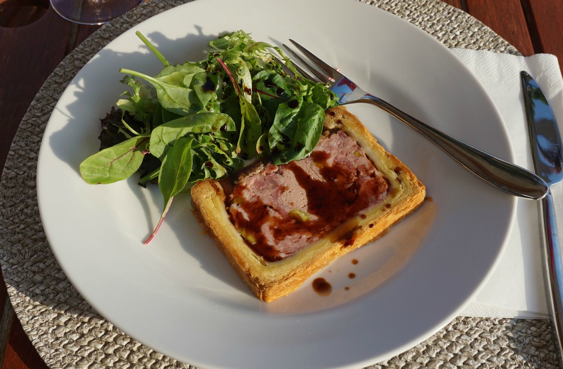
For the main course I chose a slice of local pâté, drizzled it with some good balsamic, from Modena of course, and served with mesclun, baby salad leaves.
The dessert was a slice of layered dark chocolate cake made in our supermarket. It was a delicious dinner enjoyed on the terrace!
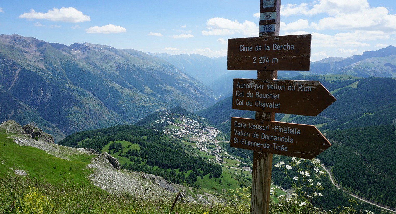
The small mountain town of St-Etienne-de-Tinée (1140 m) is situated in the Tinée Valley about 85 km (1h 30) from Nice. When driving over the La Bonette mountain pass we always stop here for a coffee.
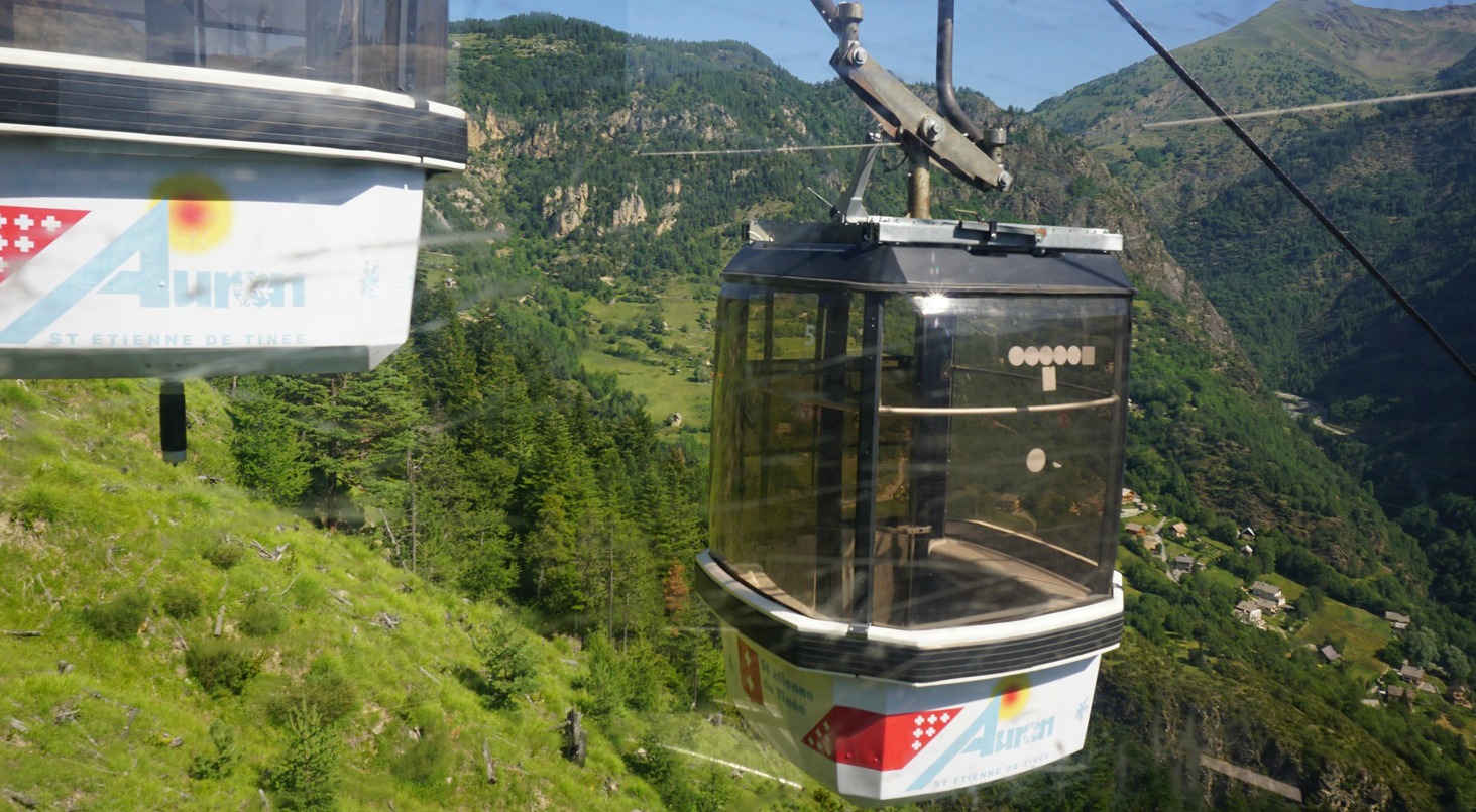
The Pinatelle telecabine, which is part of the Auron ski resort, runs daily from mid-July to the end of August from 0930 until 1700. The telecabine reaches 1753 m from where you can plan hikes or mountain biking tours higher up. Initially, the itineraries follow wide dirt tracks that are blue or green (easy) ski runs in winter.
On a warm and sunny day in late July we decided to start our hike by using the telecabine from St-Etienne-de-Tinée. For a return ticket we paid one € each! Our goal was Cime de la Bercha (2274 m), very familiar from our ski trips, so it was now interesting to discover it in July. The chair lift between Bercha and the end station of the telecabine is not in use in summer.
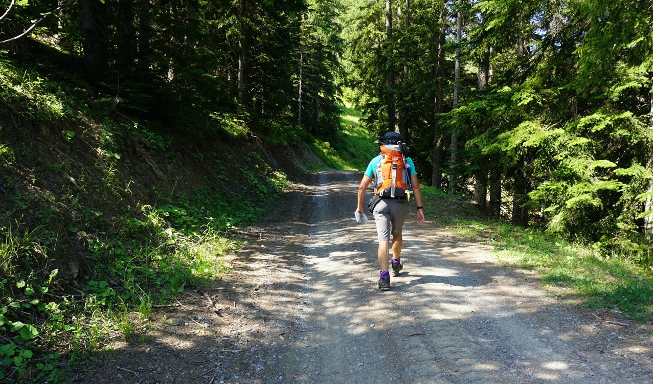
It was already 25° C in St-Etienne -de-Tinée but once we got out from the telecabine we were met by fresh and much cooler mountain air. We followed the dirt trail that ascended in the Pinatelle Forest, crossing some steep ski runs. The beautiful larch forest did not obstruct the views as the incline was quite steep. From the start (signpost #86), we continued to signposts #157 and 155.
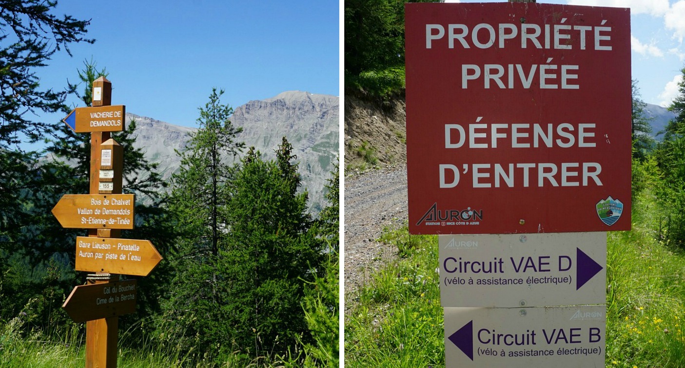
At signpost #155, our hiking trail forked left but here we saw a contradictory sign saying: propriété privée, défence d’entrer while at the same time there was an arrow showing one of the biking itineraries. Maybe the entry prohibited sign was for sporadic ATVs? We continued along it. Pretty soon, however, we started to hear livestock and dogs about 500 m ahead of us. At this stage, we had familiar ski runs on our left-hand side and decided to take a short cut to the summit of La Bercha, visible above the ski runs. We did some zigzagging because of the incline, but most of the slope consisted of alpine meadows and was quite easy to negotiate.
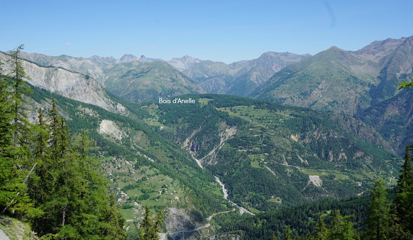
Once on the top, we had really great 360° views. The Village of Auron (1600 m) below us was seen in south east and the 3000m+ peaks in the northeast at the Italian border.
We had skied from Bercha to Pinatelle years ago and decided now to start the descent along La Croix ski run. We descended rapidly and reached another dirt track. We forked right as we remembered that the ski run included some easy parts. We continued along it a bit but started to suspect that we may end up in Auron instead. Signs for skiers were not there in summer. So, we turned back (unnecessarily it appeared), had to climb too, and followed an upper dirt track back to the ski run that we used on the way up! We then descended down to the track used in the morning and walked back to the starting point.
When checking the sat view afterwards, we found out that we could have well continued as planned, along the trail that would have connected with our track that morning!
Duration: about 4h hiking time
Climb: 650 m (detours included, without “extras” about 530m)
Distance: 11 km
Map: IGN 3639 OT Haut Tinée 1

Vegetarian dishes have lately become popular even in the meat- loving France. Unfortunately, many ready- made dishes in supermarkets contain a lot of salt and sometimes not so healthy fats.
The following tasty and very healthy vegetarian recipe is quick to make and contains healthy olive oil and vegetarian protein from white beans. Vegetarian recipes with beans or lentils and rice, bulgur or pasta have always been a part of traditional Mediterranean diet. For a modern twist this recipe combines beans with red quinoa.
There is no need to add any salt because black olives themselves contain enough salt to make the dish tasty. The recipe is gluten and dairy free.
2 servings
100 ml red quinoa
3 tbsp. olive oil
2 shallots, chopped
1 clove garlic, chopped
3 tomatoes, coarsely chopped
2 tbsp. tomato puree
½ tsp. Piment d’Espelette or other mild chilli powder
8 black olives, sliced
1 tsp. dried Provençal herbs
A tin of cooked white beans
A generous amount of chopped fresh herbs
Cook the red quinoa in a small casserole in 250 ml water until the water has evaporated in about 20 minutes. Cover and set aside.
Meanwhile warm the olive oil in a large frying pan over medium heat and sauté the shallots and garlic for about 10 minutes. Add the chopped tomatoes, tomato puree, chilli, and Provençal herbs. Rinse the beans under running water and add to the pan. Add the quinoa, mix and continue cooking until everything is thoroughly heated.
Divide the mixture in the bowls and decorate with fresh herbs. Serve a green side salad for a balanced meal.

On a late February day with clear skies we again found ourselves at the parking of Carros Village.
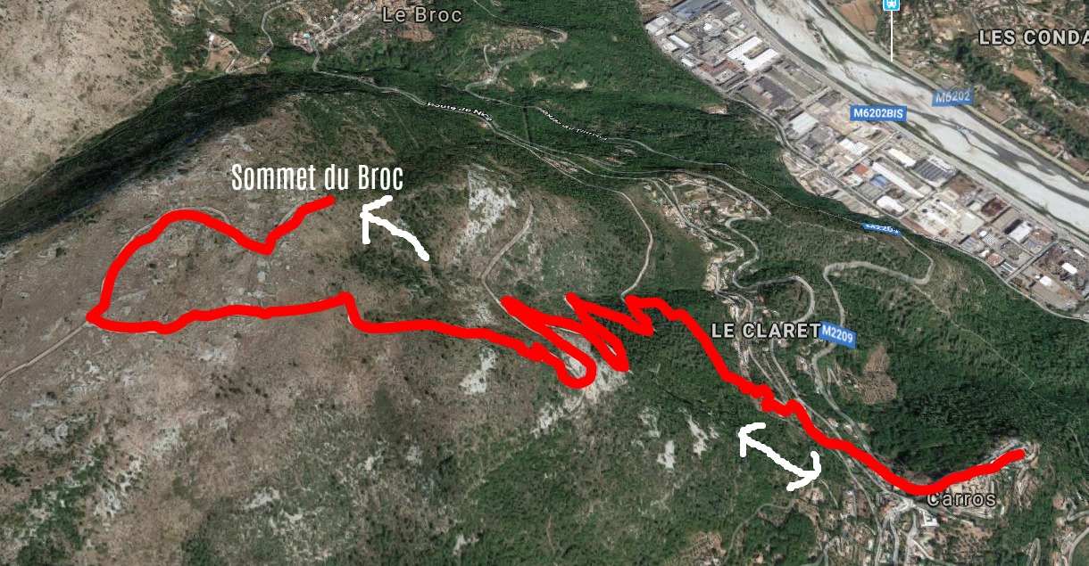
This time we had decided to do an extension from the New loop trail above Carros Village to Sommet du Broc (895 m).
From signpost #32 which marked the highest point of the loop trail (about 700 m), we forked right and climbed along a wide but rocky trail. We came to a plateau and crossroads with a signpost showing the direction to Sommet du Broc. The summit was not very evident, but by the help of the map we were able to pinpoint it almost under a big power line. There was a cairn on the top. We were inside the Prealpes de Cote d’Azur Regional Park. The scenery here was mostly rocky, barren shrub land. The land is used by lamb farmers. On the day of our hike, we observed a lone eagle, no other animals nor hikers.
This is a great hike to test your fitness level before planning longer and more strenuous adventures, as it’s a continuous ascent of about 500 m from the starting point.
Obviously this trail can be quite hot in summer.
Duration : 3h30
Climb : 530 m
Map: IGN 3642 ET Vallée de l’Estéron Vallée du Loup
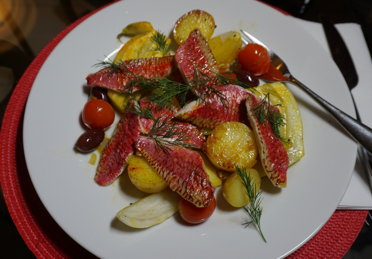
The following recipe has typical Mediterranean ingredients: olive oil, red mullet, fennel, black olives, cherry tomatoes, garlic, and saffron. If you cannot find red mullet in your area, you could replace it with bream or some other firm- fleshed white fish.
I prefer to bake red mullet fillets in oven. They only need to be brushed with olive oil before baking, there is no need to add any salt because black olives contain enough salt. As the red mullet fillets in our supermarket in Nice are quite small, they only need to be baked for about 7- 8 minutes in 200° C.
2 servings
About 250- 300 g red mullet fillets
1 fennel
1 shallot, minced
1 clove garlic, minced
5- 7 new potatoes
About 10 cherry tomatoes
2 tbsp. pitted black olives
Olive oil
Freshly ground black pepper
1/3 tsp. saffron powder
Dill
Lemon wedges
Wash the potatoes and cut them into thick slices. Microwave with some water for about 5- 6 minutes until soft. Spread the slices on kitchen paper to dry.
Wash the fennel and cut into thick wedges. Microwave with a little water for about 5 minutes until soft, then let dry on kitchen paper.
Warm 3 tbsp. olive oil in a large frying pan over medium heat. Add the minced shallot and garlic and sauté for about 5 minutes. Add the potatoes, fennel, cherry tomatoes, and black olives. Sprinkle the saffron over the vegetables and mix gently. Grind over some black pepper, cover, and reduce the heat. Let simmer.
Meanwhile bake the red mullet fillets. Spread the fillets on an oven tray covered with baking paper. Brush them with olive oil and bake for 7- 8 minutes.
Divide the vegetables on the plates and place the fish on top. Decorate with dill and serve with lemon wedges.

Risoul (1850 m) in the Southern French Alps is a ski resort connecting with the neighbouring resort of Vars. To reach it by car, however, you have to drive down from Vars to Guillestre to take the good road up to Risoul.
In summer, in spite of numerous ski lifts and runs, Risoul offers some great hikes. We chose to do part of the loop trail called Le Grand Panorama. This was in mid-June and the resort was completely closed and deserted. We only met a couple of other hikers on the trails.
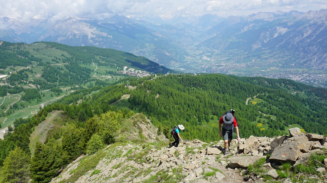
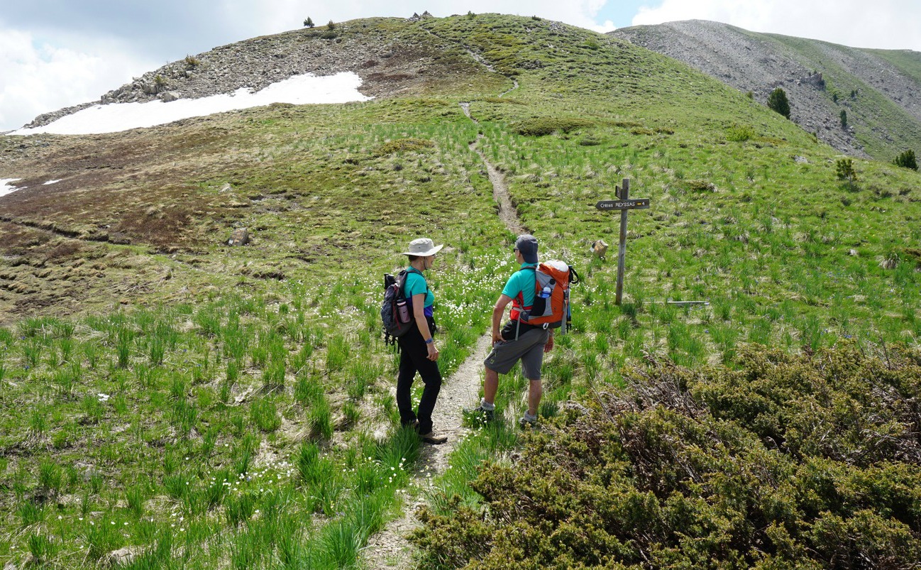
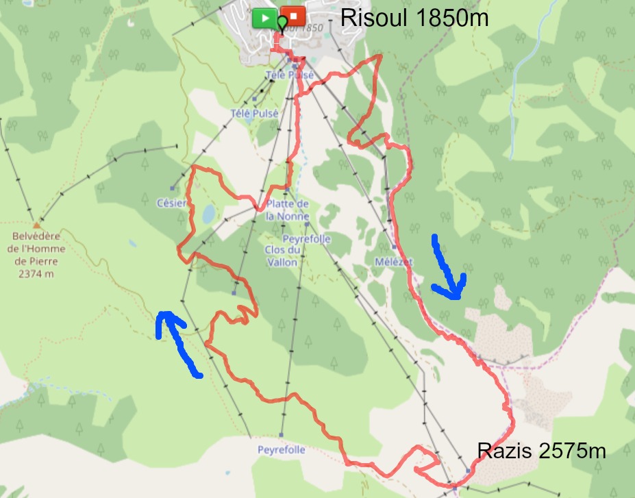
Above the Risoul Tourist Office, at the front de neige with several ski lifts, we started along a dirt track by Les Melezes ski lift. After 200 m or so we came to a signpost showing the direction of our planned itinerary to Sommet de Razis along Le Grand Panorama trail (yellow marks). We forked left, heading east, along a wider dirt track in a magnificent forest. At the next sign, we turned right, now heading south, starting to climb more steeply. We crossed some ski runs, while most of the time zigzagging in the woods along Crête de Mélézet. Leaving the ski area, the trail continued even more steeply along Crête de Razis, eventually above the tree line. Some easy scrambling was needed in places.
Approaching the summit, the trail levelled off. There were some patches of snow here and there. We first walked past a wooden cross, and saw the highest point marked with a cairn and a sign not far away. It took us about 2,5 hours from the village.
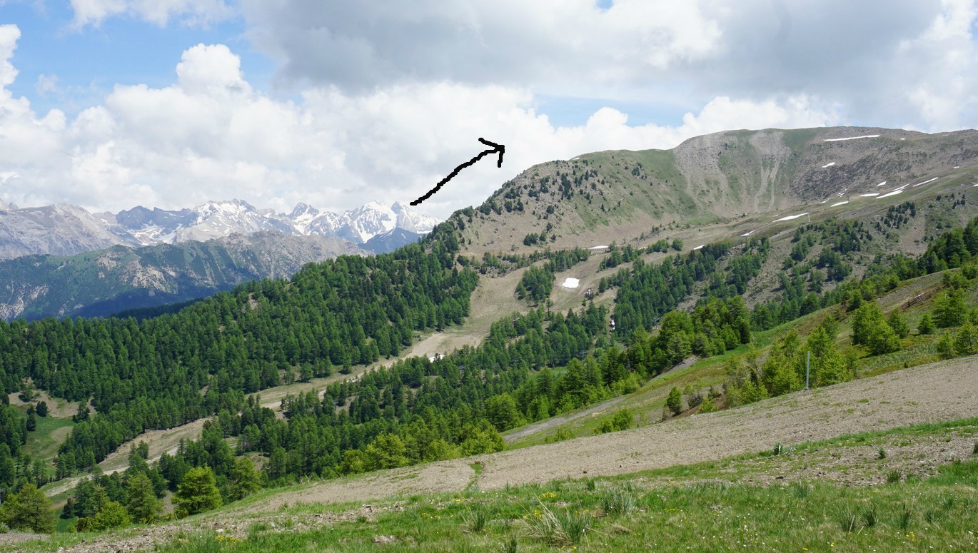
We continued along the marked trail passing Risoul’s highest ski lifts, before descending towards Col de Valbelle. Because the alpine meadows were still quite wet, and there was lingering snow in some spots, we opted to descend mostly along small dirt roads winding down to the village. The views were superb also during the descent.
Hiking time: 4h 30
Climb: 736 m
Length: 13,7 km
Map: IGN 3537 ET Guillestre Vars Risoul
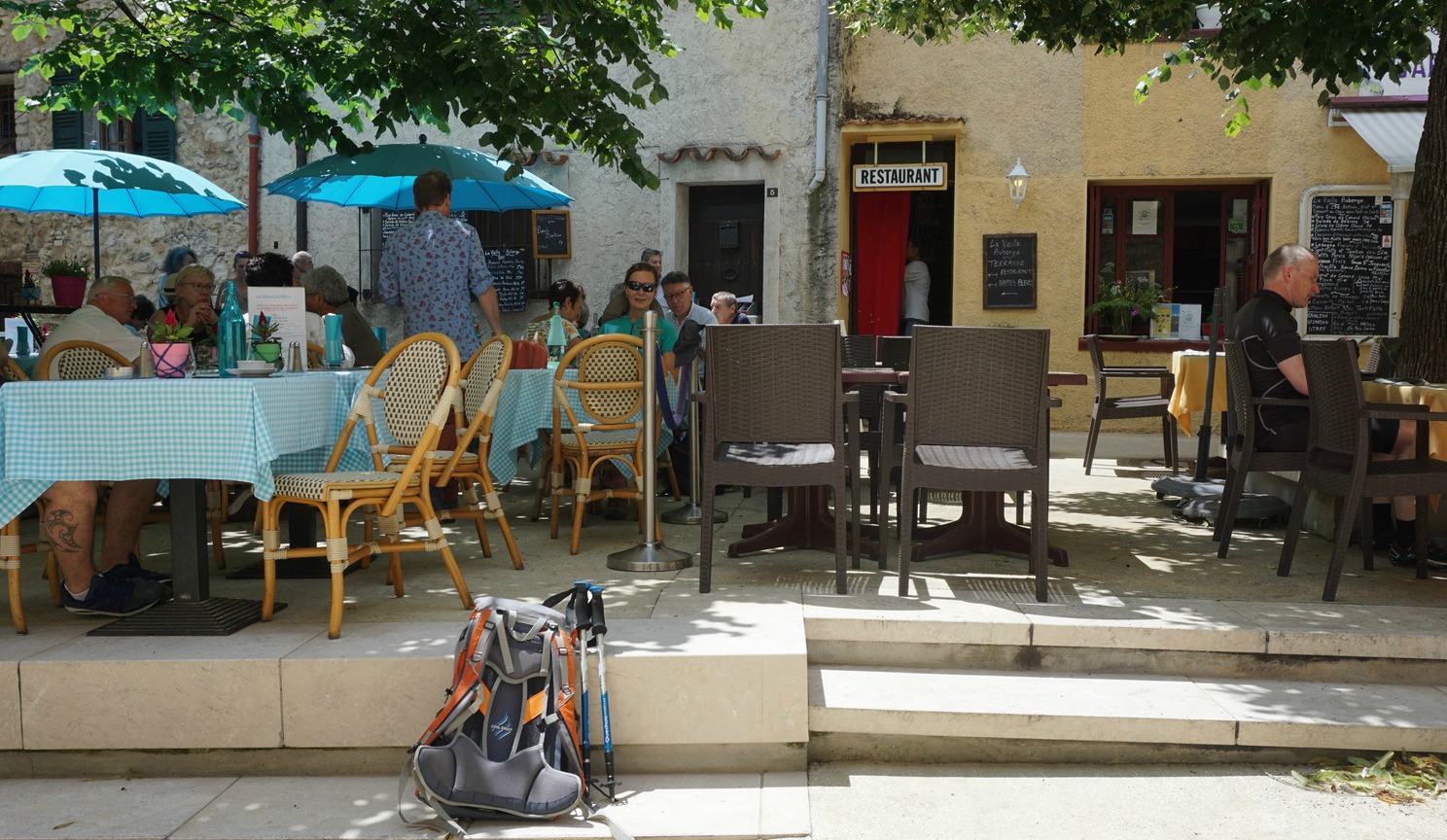
Cipières (750 m) and Gréolières (830 m) are two villages in Moyen Pays facing each other over the River Loup. Gréolières is nowadays a popular lunch stop among cyclists and hikers and has good restaurants. Cipières is these days a rather quiet village where mostly locals reside.
We planned to hike from Cipières to Gréolières along the GR4 trail, and to have lunch in Gréolières before turning back.
On this particular Saturday, however, Cipières was unusually busy. There was a funeral or wedding at the church in addition to a trail happening so the village was packed with cars. We finally found a spot at the entrance of the village, some 700 m from the village square.
We walked through the old village and started descending along the GR4 trail towards Gréolières, which in the beginning was visible on the other side of the verdant Loup River Valley. Most of the trail ran in the woods, protecting us from the direct June sunshine. We reached the River Loup in about 45 min. from the start and crossed it along an old stone bridge (pont en dos d’âne). The bridge at 570m was the lowest point of the hike. The following ascent to Gréolières crossed the paved D703 road a few times. The white and red GR markings were numerous along the trail.
We came directly to the square with a few restaurants, already serving lunch. We chose La Vieille Auberge with a tempting Mediterranean menu. Their three-course formule midi was 25€ with several choices. The restaurant has good reviews and we were not disappointed.
We took the same trail back to our starting point.
Duration: 2h30 (active hiking time)
Distance: 8,3 km
Climb: 448 m (own log)
Map: “Vallée de l’Estéron" 3642ET


