

Auron: Cime de la Bercha

The small mountain town of St-Etienne-de-Tinée (1140 m) is situated in the Tinée Valley about 85 km (1h 30) from Nice. When driving over the La Bonette mountain pass we always stop here for a coffee.
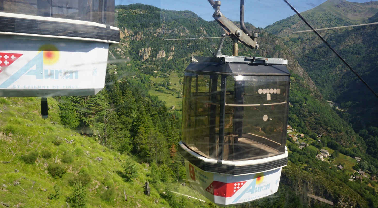
The Pinatelle telecabine, which is part of the Auron ski resort, runs daily from mid-July to the end of August from 0930 until 1700. The telecabine reaches 1753 m from where you can plan hikes or mountain biking tours higher up. Initially, the itineraries follow wide dirt tracks that are blue or green (easy) ski runs in winter.
On a warm and sunny day in late July we decided to start our hike by using the telecabine from St-Etienne-de-Tinée. For a return ticket we paid one € each! Our goal was Cime de la Bercha (2274 m), very familiar from our ski trips, so it was now interesting to discover it in July. The chair lift between Bercha and the end station of the telecabine is not in use in summer.


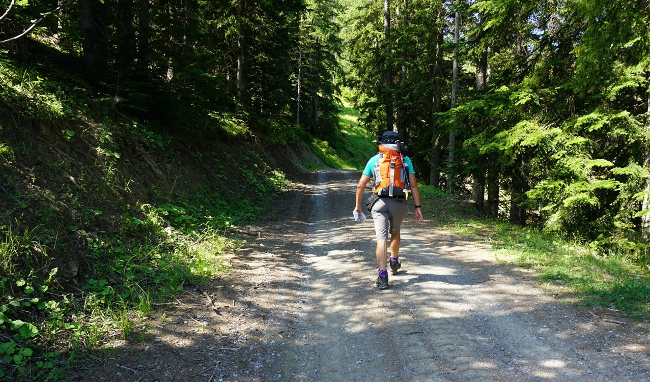

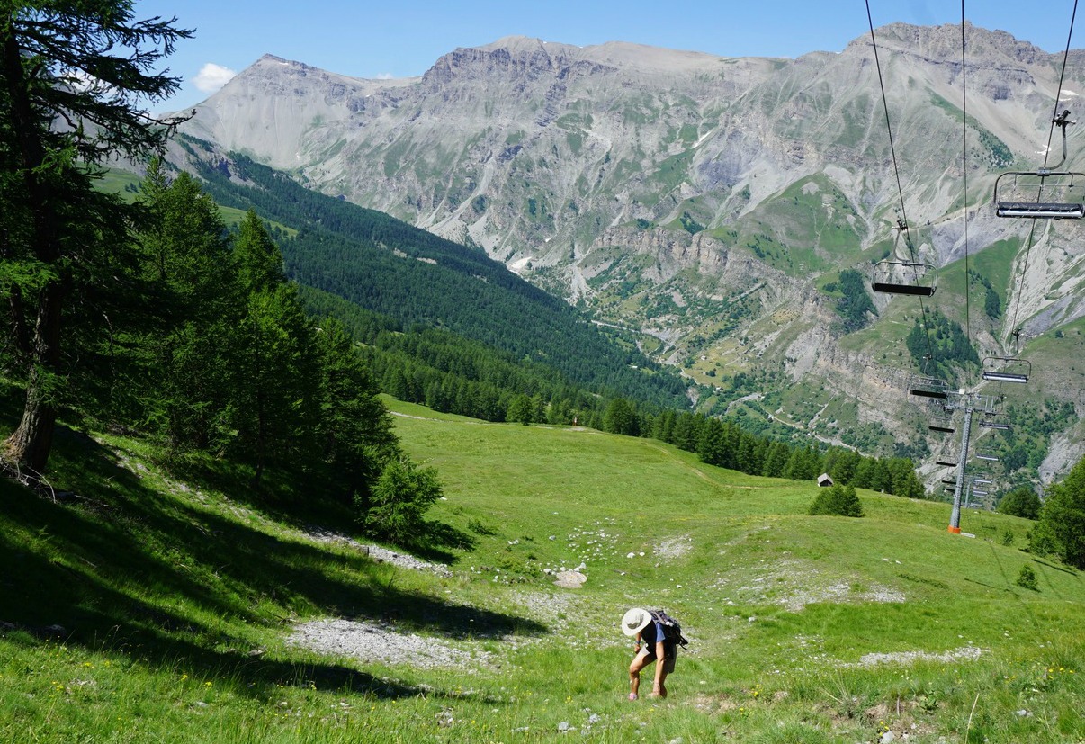

It was already 25° C in St-Etienne -de-Tinée but once we got out from the telecabine we were met by fresh and much cooler mountain air. We followed the dirt trail that ascended in the Pinatelle Forest, crossing some steep ski runs. The beautiful larch forest did not obstruct the views as the incline was quite steep. From the start (signpost #86), we continued to signposts #157 and 155.
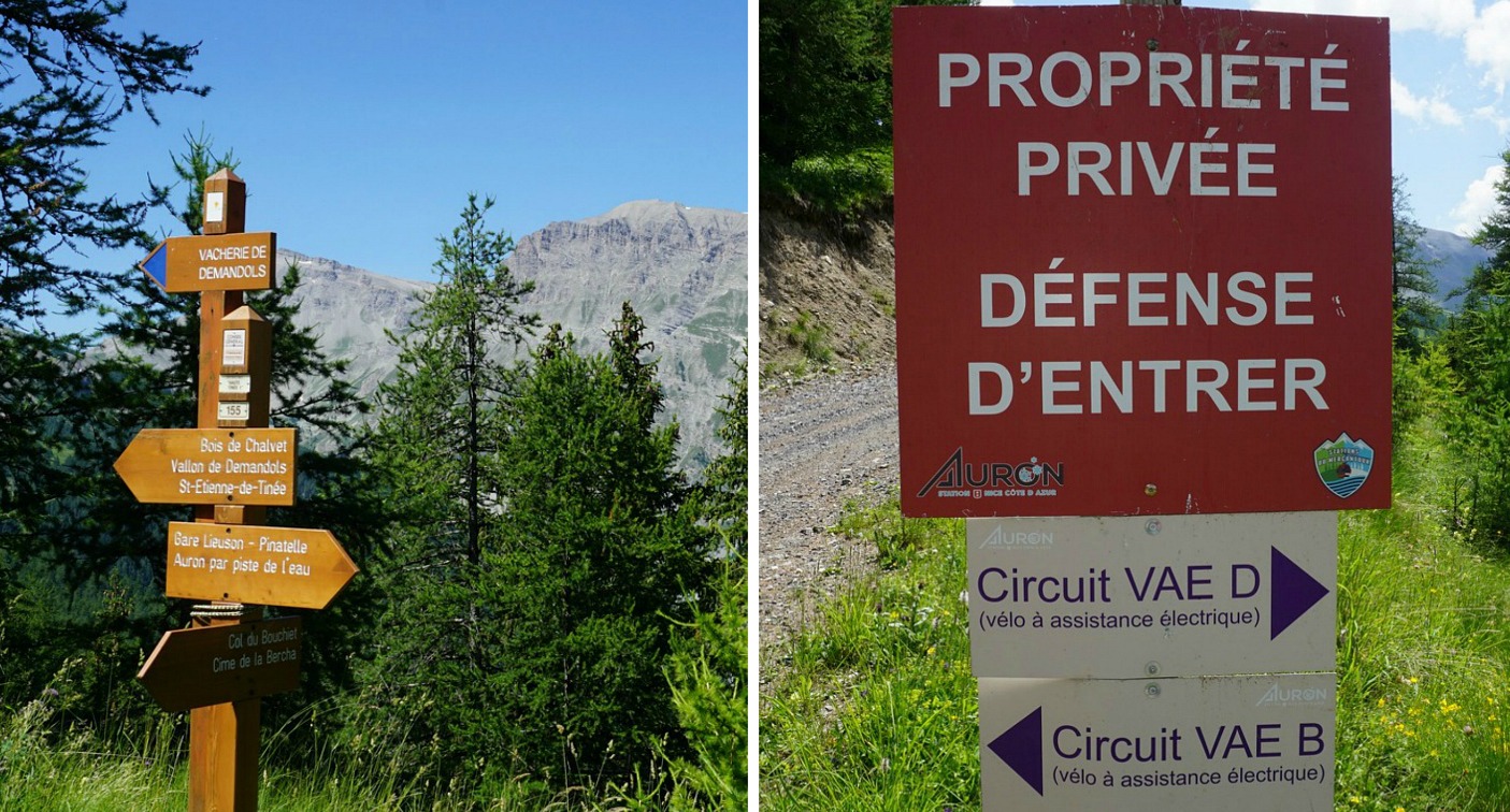
At signpost #155, our hiking trail forked left but here we saw a contradictory sign saying: propriété privée, défence d’entrer while at the same time there was an arrow showing one of the biking itineraries. Maybe the entry prohibited sign was for sporadic ATVs? We continued along it. Pretty soon, however, we started to hear livestock and dogs about 500 m ahead of us. At this stage, we had familiar ski runs on our left-hand side and decided to take a short cut to the summit of La Bercha, visible above the ski runs. We did some zigzagging because of the incline, but most of the slope consisted of alpine meadows and was quite easy to negotiate.
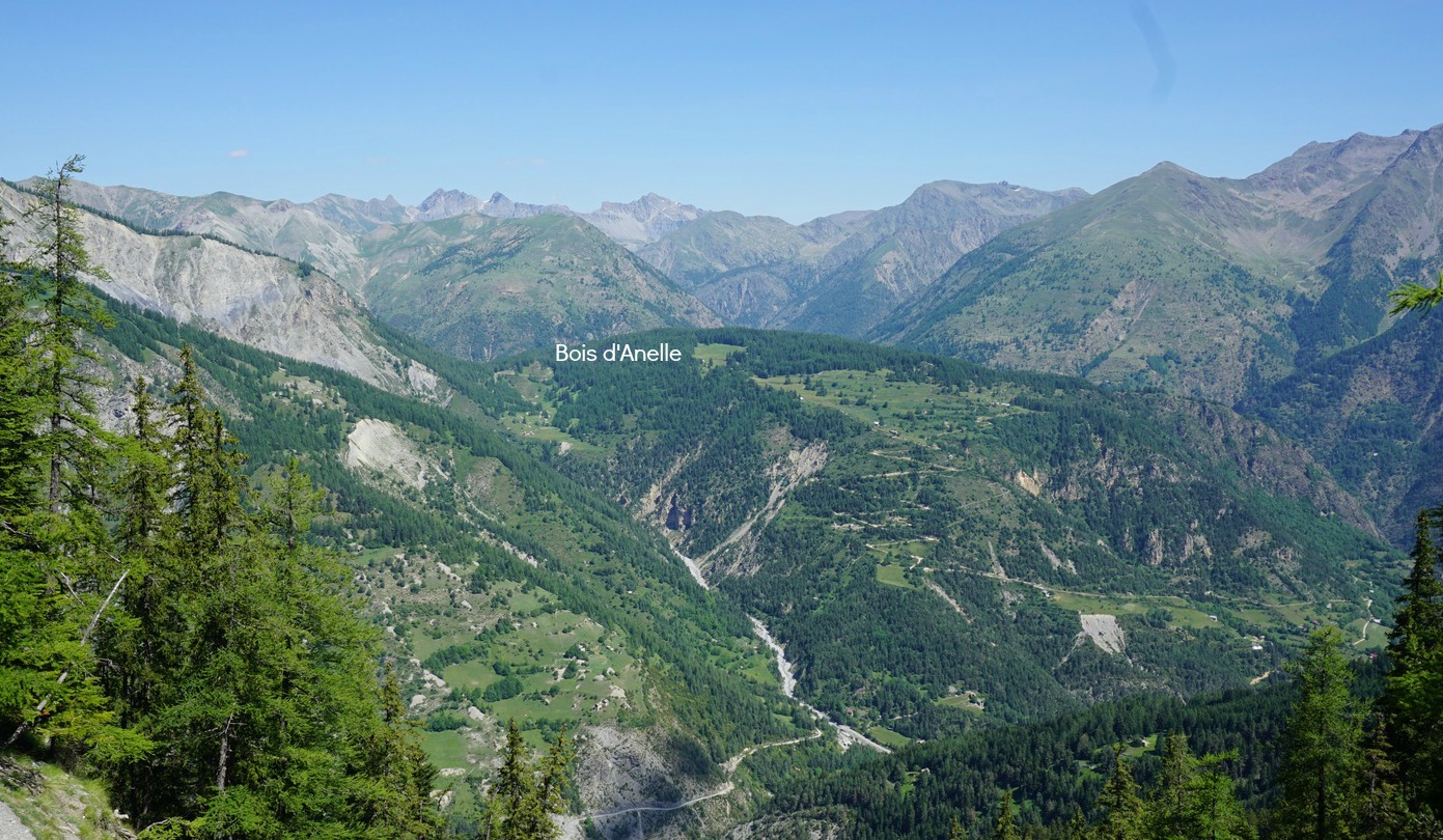
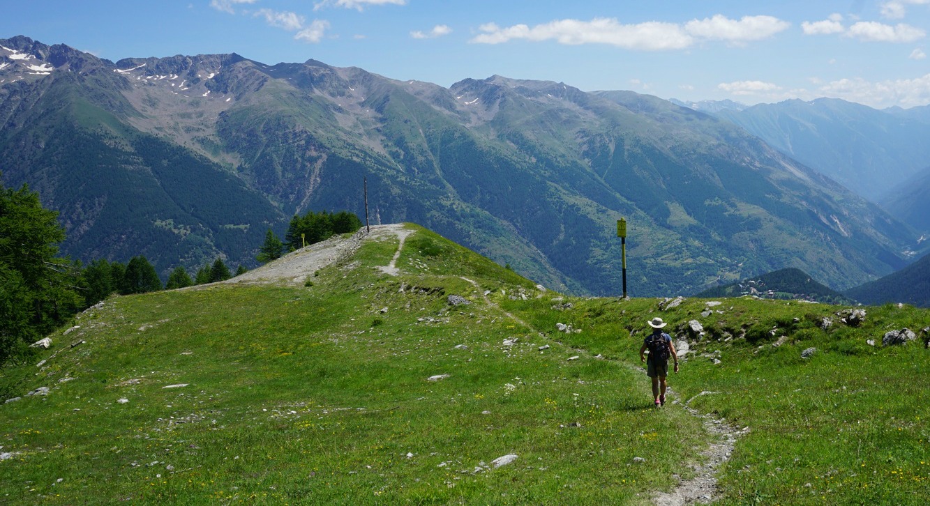
Once on the top, we had really great 360° views. The Village of Auron (1600 m) below us was seen in south east and the 3000m+ peaks in the northeast at the Italian border.
We had skied from Bercha to Pinatelle years ago and decided now to start the descent along La Croix ski run. We descended rapidly and reached another dirt track. We forked right as we remembered that the ski run included some easy parts. We continued along it a bit but started to suspect that we may end up in Auron instead. Signs for skiers were not there in summer. So, we turned back (unnecessarily it appeared), had to climb too, and followed an upper dirt track back to the ski run that we used on the way up! We then descended down to the track used in the morning and walked back to the starting point.
When checking the sat view afterwards, we found out that we could have well continued as planned, along the trail that would have connected with our track that morning!
Duration: about 4h hiking time

Climb: 650 m (detours included, without “extras” about 530m)
Distance: 11 km
Map: IGN 3639 OT Haut Tinée 1
Share story


0 comments:
Note: only a member of this blog may post a comment.