

Risoul: Summit of Razis 2575 m

Risoul (1850 m) in the Southern French Alps is a ski resort connecting with the neighbouring resort of Vars. To reach it by car, however, you have to drive down from Vars to Guillestre to take the good road up to Risoul.
In summer, in spite of numerous ski lifts and runs, Risoul offers some great hikes. We chose to do part of the loop trail called Le Grand Panorama. This was in mid-June and the resort was completely closed and deserted. We only met a couple of other hikers on the trails.


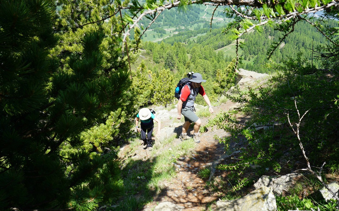

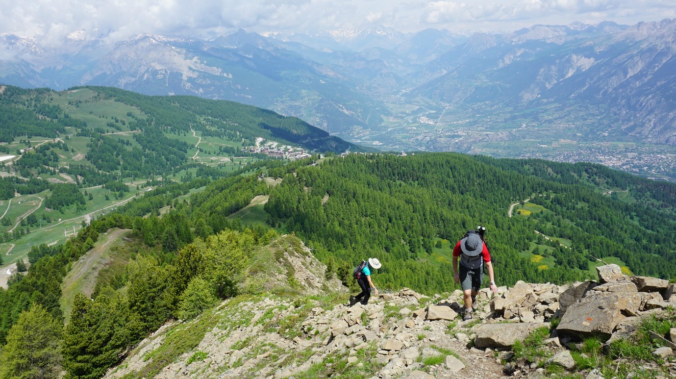

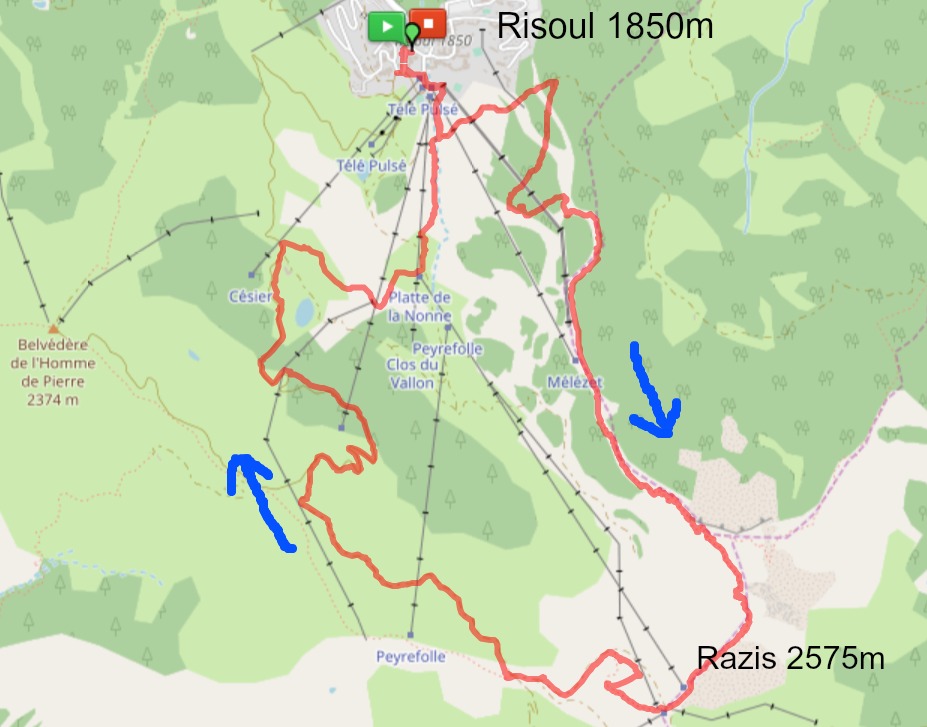
Above the Risoul Tourist Office, at the front de neige with several ski lifts, we started along a dirt track by Les Melezes ski lift. After 200 m or so we came to a signpost showing the direction of our planned itinerary to Sommet de Razis along Le Grand Panorama trail (yellow marks). We forked left, heading east, along a wider dirt track in a magnificent forest. At the next sign, we turned right, now heading south, starting to climb more steeply. We crossed some ski runs, while most of the time zigzagging in the woods along Crête de Mélézet. Leaving the ski area, the trail continued even more steeply along Crête de Razis, eventually above the tree line. Some easy scrambling was needed in places.
Approaching the summit, the trail levelled off. There were some patches of snow here and there. We first walked past a wooden cross, and saw the highest point marked with a cairn and a sign not far away. It took us about 2,5 hours from the village.
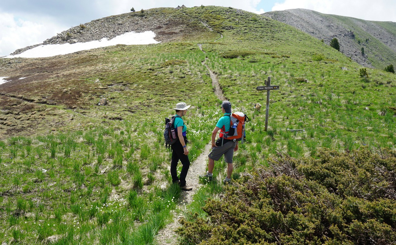
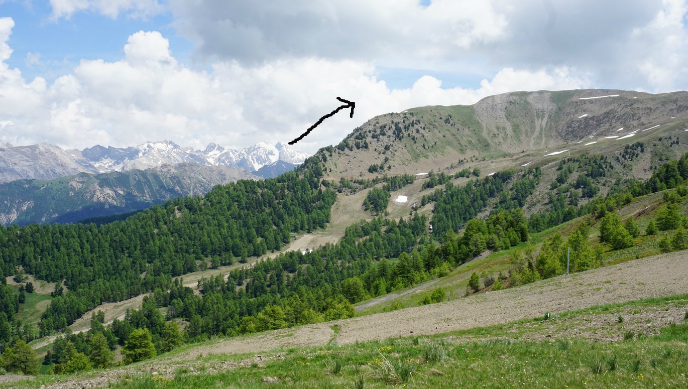
We continued along the marked trail passing Risoul’s highest ski lifts, before descending towards Col de Valbelle. Because the alpine meadows were still quite wet, and there was lingering snow in some spots, we opted to descend mostly along small dirt roads winding down to the village. The views were superb also during the descent.
Hiking time: 4h 30
Climb: 736 m
Length: 13,7 km
Map: IGN 3537 ET Guillestre Vars Risoul
Share story


0 comments:
Note: only a member of this blog may post a comment.