Loop trail above Courmes

Viewing Puy de Tourrettes


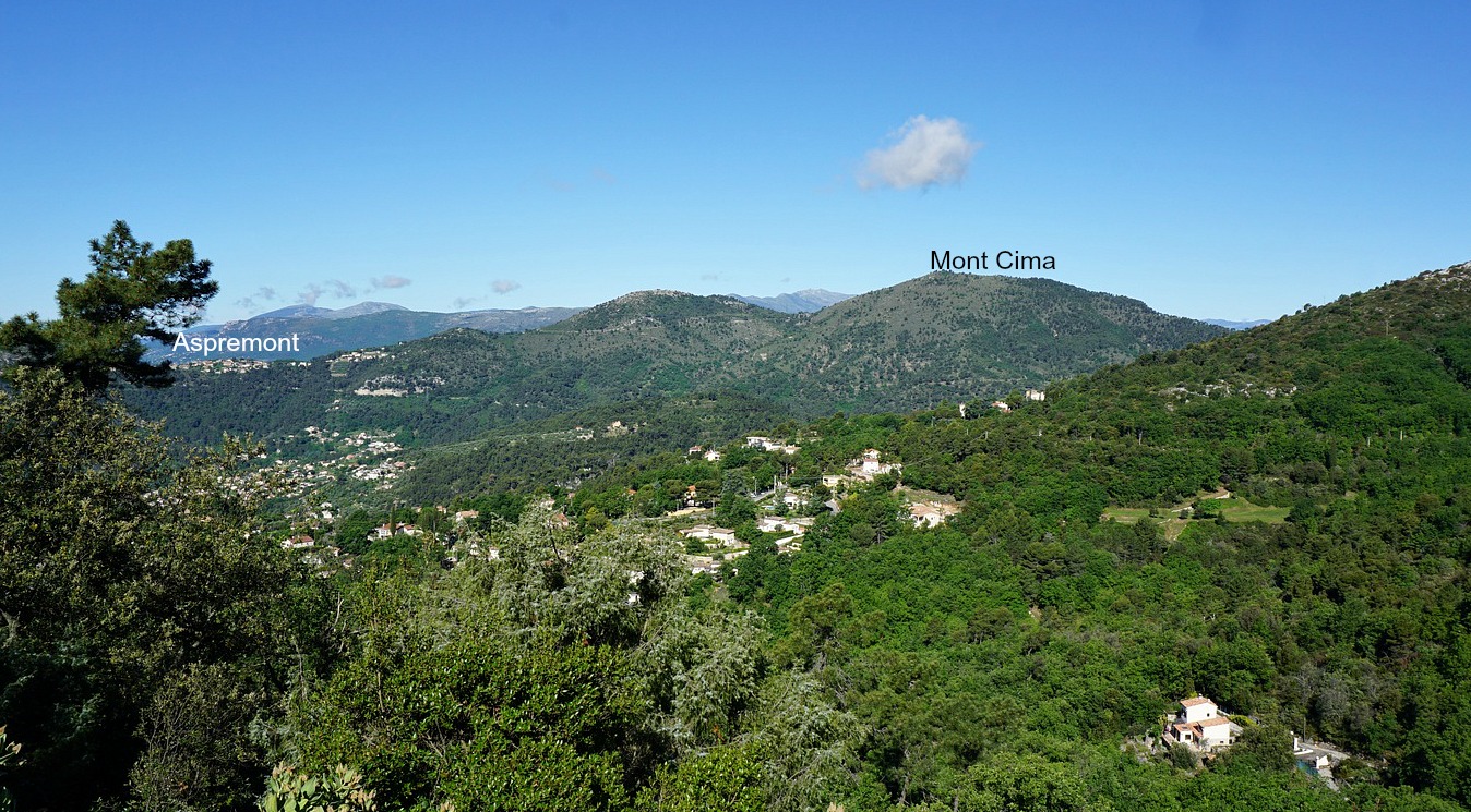
The village of Courmes (630 m) is about 16 km from the Mediterranean as the crow flies. We have previously made good hikes from the village, such as to the nearby peaks Puy de Tourrettes and Pic de Courmettes, both over 1200 m.
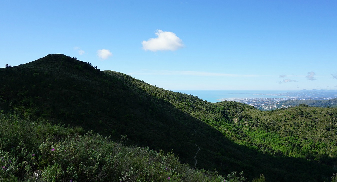
On today’s hike we wanted to explore a new itinerary that also made a loop in the western part of the vast St Barnabé Plateau.

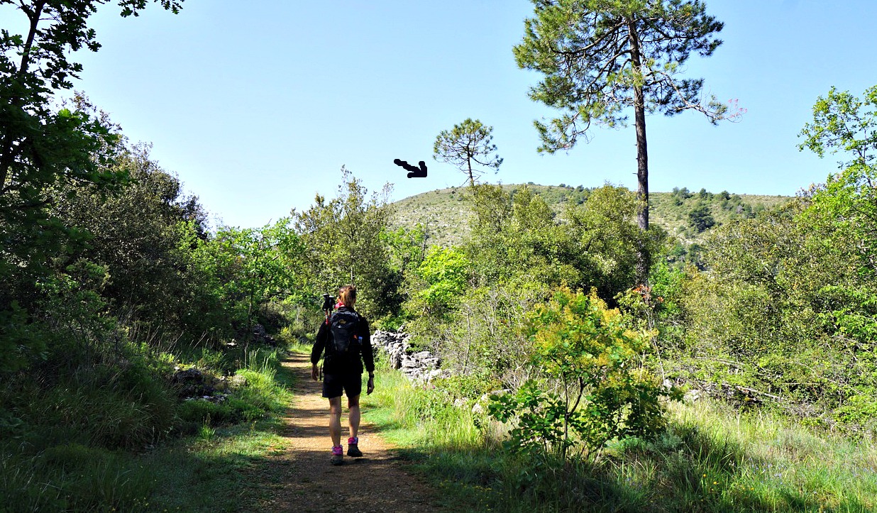
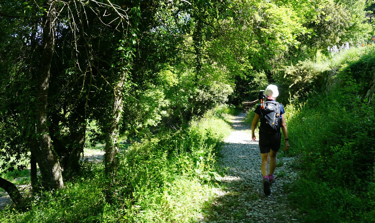
We forked left from the village parking, heading straight north towards Vallon des Combes. The path was marked yellow. Most of the signposts along the trail had old numbers compared with the new IGN hiking map of the area. For example, we started from signpost #88 which was #250 on the map.


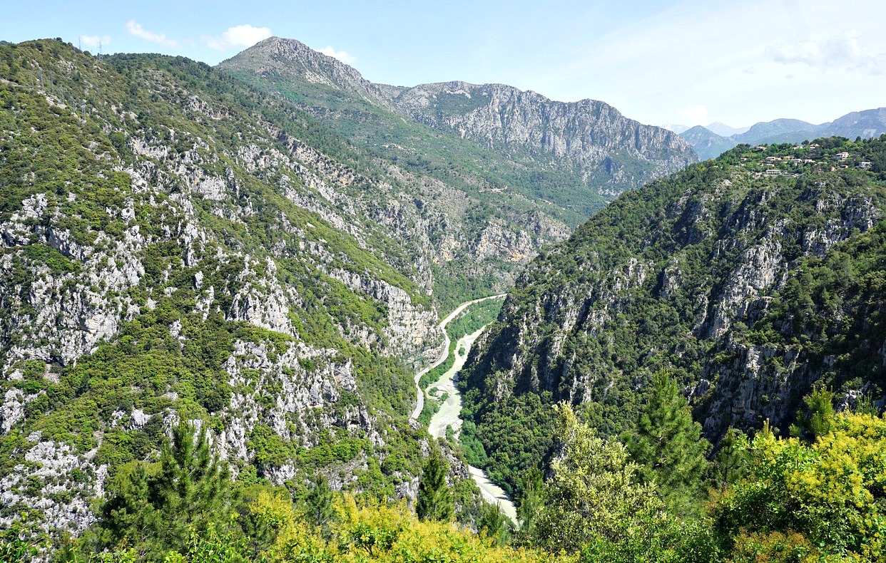
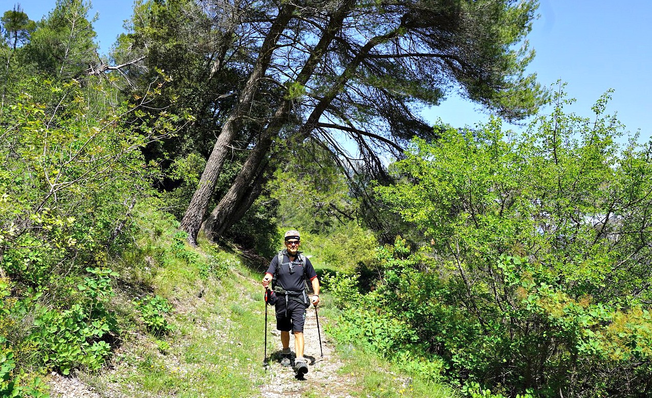
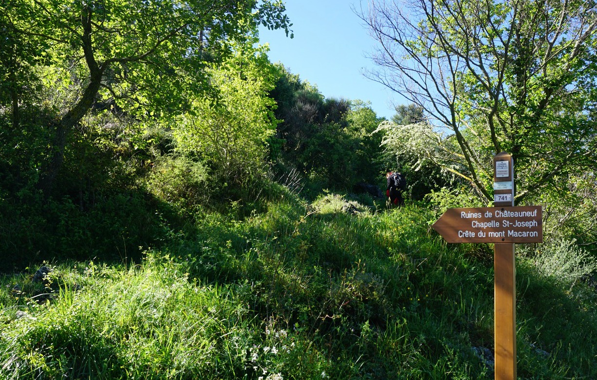
The first stretch offered great views of the Loup River Valley. We ascended further in the woods through Vallon des Combes, came above the tree line to signpost #87a (256 on the map!), and forked left and descended a bit to a clearing named Pré Royer, where the next crossroads signpost#258 in fact had the same number as on the map. We crossed some meadows and an abandoned hut, and came to a dirt track. We turned right; now  heading northeast. At the crossroads there was a signpost placed on a rock with an unofficial signpost with names irrelevant for our planned itinerary. We were still guided by yellow markings, and climbed to little over 1000 m elevation, passing signpost #153 (map # 265), where the trail turned southeast towards St-Barnabé.

We followed the trail to the next crossroads, marked with #155 (on the map #264), showing the trail back to Courmes. Numerous other trails crisscross the St-Barnabé Plateau. We came to an oratory by the path, and descended back to signpost #87a. From this point, we took the same trail back to Courmes.
Our GPS track is shown below; signpost numbers are those on the map.

Elevation gain: 470 m

Distance: 12,3 km

Duration: 3h 35

Map: 3642 ET Vallée de l’Estéron Vallée du Loup


Saint-Barnabé loop hike track

Veal roast Mediterranean style

Veal roast Mediterranean style
Veal roast Mediterranean style 


French veal roast, rôti de veau, is tied together and surrounded by thin lard slices. These can be removed after the roast is sliced or everybody can simply remove them on their plates while eating. The latter is often the case in small French restaurants.

If you make the roast for 2 people and there are leftovers, you can make the classic Italian Vitello tonnato next day.

4 servings

About 600- 700 g veal roast, roti de veau
2 tbsp. pine nuts
1 tbsp. black olives
1 tbsp. capers or 6 large Italian capers
Olive oil
Black pepper
1 tsp. dried Provençal herbs
150 ml chicken stock
150 ml white wine
Fresh herbs

In a large heavy frying pan, brown the roast in olive oil on both sides. Preheat the oven to 200° C, roast.

Transfer the veal to a baking dish and add the pine nuts, olives, capers, black pepper and dried Provençal herbs around the meat. Pour in the chicken stock and white wine.

Roast in 200° C for 30 minutes. Then lower the temperature to 180° C and continue cooking for 20 minutes. Transfer the veal to a cutting board and slice. Divide the slices on the plates and spoon over the pine nut-olive sauce from the roasting dish.

Serve the veal with lentils and vegetables of your choice. Decorate with fresh herbs.


Mont Arpasse

Viewing Mont Vial from Mont Arpasse


Viewing Mont Arpasse from nearby Levens, it looks more like a hill. But don’t let that impression and the elevation (695 m) deceive you! Situated above the confluence of Var and Vesubie Rivers, you have exceptional views down to both river valleys as well as the to the coast, the nearby mountains (such as Mont Vial) and of course the Mercantour peaks further away.

The village of Levens has a distinguished past; it is the birthplace of the first French mayor of Nice Francois Malaussèna and Napoleon’s Marshal André Massena spent his childhood here.

We drove to Levens along the sinuous M20 road, passing the village of Roquette-sur-Var. We turned left to Avenue Charles David, and after a few hundred meters again left to Chemin de la Môle, passing the fire station then parked soon afterwards on the right-hand side of the street. The trailhead with signpost #293 was just 100 m away.


We first ascended briefly along a wide and partly cobbled trail before descending to Vallon de l’Alborée where we crossed a small stream. We then began to climb again reaching signpost #294. There was a gate and a notice of sheep flocks. We continued south, following the trail marked yellow (and not the dirt track that also climbed up to the summit), and reached the mountaintop after about 1h 10. It was marked with signpost #295 (title picture above). We saw a sheep flock far away south of the summit, so no worries; we could make the tour as planned.

From the summit, we continued northwest then north, descending rapidly. The trail was still very good but became a bit rocky and steeper before signpost #296 so here it was good to have both good hiking shoes and poles. The trail ran under several power lines. In spite of them, we had perfect views all the time. The western flank of the mountain above Plan du Var was precipitous. At #296, we forked right to Ravin de l’Arpasse and ascended to signpost #294, completing the loop.

All signposts are visible in the map below.

Duration: 2h 45 hiking time

Distance: 7,5 km

Elevation gain: 370 m

Map: Vallée de la Bévéra TOP 25 N°o 3741 ET

Mont Arpasse trail track


Mixed greens with cod

Mixed greens with cod


This recipe is inspired by a recipe of mista di verdure cotta in the wonderful cookery book “The Mediterranean Diet Cookbook” by Nancy Harmon Jenkins.

 She wrote that the dish used to be served in Roman restaurants in springtime as a first course. It would be a small portion of different cooked mixed greens dressed with olive oil and lemon juice. The Roman ladies believed in the slimming effect of the dish.

I have modified her recipe to include the best spring greens of the South of France and serve it as an accompaniment for cod or salmon.

2 servings

A handful of baby spinach leaves
8 green asparagus stems
A handful of green beans
2 spring onions
1 clove garlic, minced
2 tbsp. olive oil
2 tbsp. lemon juice
Freshly ground black pepper
2 nice pieces of cod, dos de cabillaud

In a large sauté pan, warm the olive oil over medium- low heat and gently cook the garlic.

Wash the spring onions, cut into about 3 cm long pieces and add to the sauté pan.

Wash and peel the asparagus. Discard the tough bottom ends and cut the stems about 3 cm long pieces. Microwave for about 2- 3 minutes, then add to the sauté pan.

Wash the green beans, cut into about 3 cm long pieces and microwave for about 3 minutes. Add to the sauté pan.

Wash the spinach leaves under running water and let dry on kitchen paper. Add to the sauté pan and continue sautéing for about 2 minutes until the spinach is wilted. Then add the lemon juice and black pepper and mix.

Meanwhile roast the cod pieces in 200° C for 10 minutes.

Divide the greens and cod on the plates and serve with lemon wedges.

St-Jeannet to la Colle

Picnic at la Colle 844 m

The main hiking artery from the village of St-Jeannet, also marked as GR51, ascends straight north in a valley called Vallon de Parriau between Baou St-Jeannet and Baou de la Gaude.


GR51 forks left at signpost #95 (about 1,5 km from the village), and the most popular trail to Baou St-Jeannet leaves the GR trail after 200 m or so.

To get some variation, we decided to hike up to the neighbouring mountain top on the opposite side. Baou de la Gaude and la Colle can be reached both from St-Jeannet and Gattieres.

Chemin des Lucioles in St-Jeannet

Baou de la Gaude seen from St-Jeannet

GR51 trail above St-Jeannet

GR51 trail higher above St-Jeannet

Wild thyme in blossom

Trail to signpost 75

Dash8 Q400 low above Var River

From signpost 75 to la Colle

Starting from the village parking, we ascended along Chemin des Lucioles and soon joined the GR51. We hiked past signpost #95 and forked right at #96. The trail now marked yellow zigzagged in the incline to signpost #75 on a plateau. During the ascent, we found wild thyme in blossom and picked some for our dinner. We forked right (south), and ascended to la Colle which was the highest point at 844 m.

Baou St-Jeannet viewed from la Colle

Old oak tree near Baou de la Gaude

Baou St-Jeannet
Baou St-Jeannet

St-Jeannet
St-Jeannet

La Colle is a great place for picnic. We have stopped here many times.  It’s tranquil, and you have views down to the Var River Valley as well as to Baou St-Jeannet. After the break, we continued straight south as far as to the centuries-old oak tree, mentioned in many guides and marked in the maps. It was our turning point today. Baou de la Gaude nearby does not actually offer the same views as its western neighbour. At signpost #97, we took a shortcut to the trail we used on the way up, and descended back to our starting point.


Distance: 7 km


Elevation gain: 440 m


Duration: 2h 40


Map: « Cannes-Grasse »  Côte d’Azur TOP 25 N°o 3643 ET


St-Jeannet to la Colle track

Mont Macaron above Nice

View from trail to Crête du Mont Macaron


Both the northern (806 m) and southern (797 m) summits of Mont Macaron, about 11 km northeast of Nice offer a magnificent 360° panorama in spite of their rather modest elevation. From both summits, one can admire the city of Nice, Baie des Anges as well as the Mercantour peaks in the north. Not surprisingly this is a very popular hiking area.

Both summits are situated on Crête du Mont Macaron, between the towns of Tourrette-Levens and Contes. There’s a vast parking at Col de Châteauneuf (626 m) by the D815 road. It’s here we headed after an almost two-month long COVID-19 lockdown.


From the parking, we started following a small road south and after 100 m forked left (signpost#741 indicating Crête du Mont Macaron) into the woods. We ascended along a path passing the ruins of medieval Châteauneuf, leaving them on our left-hand side. The ruins are perched on a hilltop (750 m) about 500 m south of the col.

We soon reached a clearing where the restored Chapel St. Joseph was located. The potholed road from the main road ended here.

From the chapel, we continued southeast then south, ascending gently towards the ridge, where both summits were visible. We took a small shortcut from the main path directly to the northern summit, then re-joined the path which lead to the southern summit just 400 m away.

After a break, we descended southwest to signpost #744 at Baisse du Macaron (666 m) where we turned north, and hiked back along the western flank of Crête du Mont Macaron along a good path first to Chapel St. Joseph then to our
starting point.

Climb: 280 m

Distance: 7 km

Duration: 2h 40 (active)

Map: “Nice-Menton Côte d’Azur TOP 25 n°0 3742 OT


Crête du Mont Macaron trail