

Mont Arpasse
 |
| Viewing Mont Vial from Mont Arpasse |
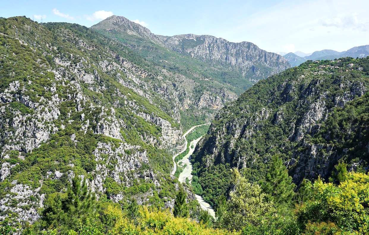
Viewing Mont Arpasse from nearby Levens, it looks more like a hill. But don’t let that impression and the elevation (695 m) deceive you! Situated above the confluence of Var and Vesubie Rivers, you have exceptional views down to both river valleys as well as the to the coast, the nearby mountains (such as Mont Vial) and of course the Mercantour peaks further away.
The village of Levens has a distinguished past; it is the birthplace of the first French mayor of Nice Francois Malaussèna and Napoleon’s Marshal André Massena spent his childhood here.
We drove to Levens along the sinuous M20 road, passing the village of Roquette-sur-Var. We turned left to Avenue Charles David, and after a few hundred meters again left to Chemin de la Môle, passing the fire station then parked soon afterwards on the right-hand side of the street. The trailhead with signpost #293 was just 100 m away.
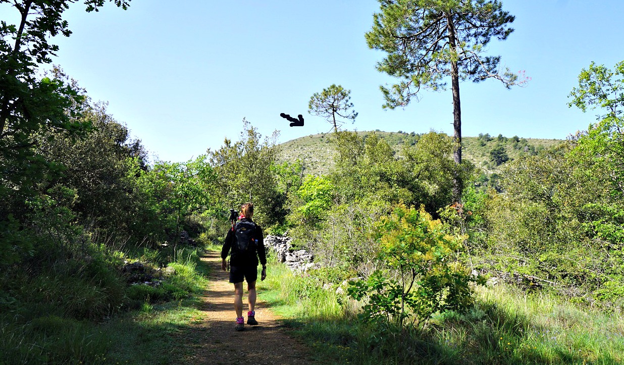


We first ascended briefly along a wide and partly cobbled trail before descending to Vallon de l’Alborée where we crossed a small stream. We then began to climb again reaching signpost #294. There was a gate and a notice of sheep flocks. We continued south, following the trail marked yellow (and not the dirt track that also climbed up to the summit), and reached the mountaintop after about 1h 10. It was marked with signpost #295 (title picture above). We saw a sheep flock far away south of the summit, so no worries; we could make the tour as planned.
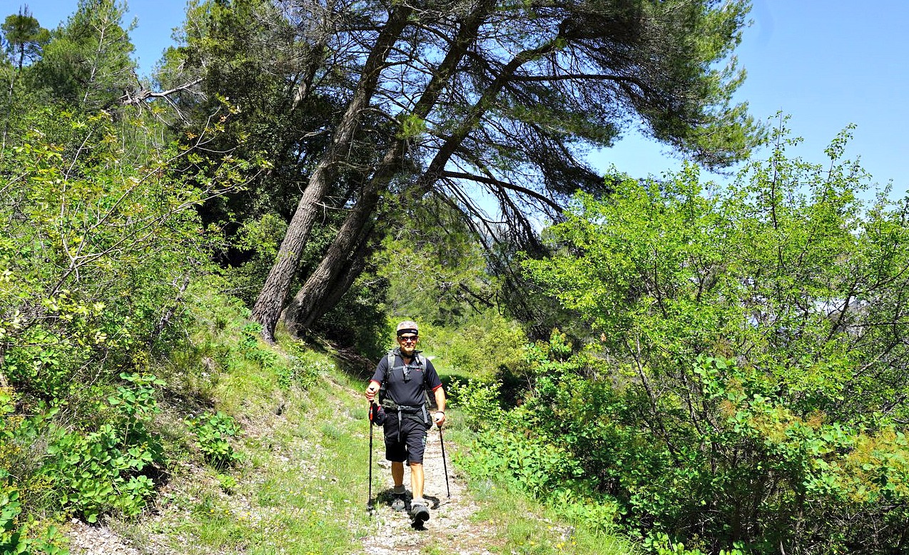
From the summit, we continued northwest then north, descending rapidly. The trail was still very good but became a bit rocky and steeper before signpost #296 so here it was good to have both good hiking shoes and poles. The trail ran under several power lines. In spite of them, we had perfect views all the time. The western flank of the mountain above Plan du Var was precipitous. At #296, we forked right to Ravin de l’Arpasse and ascended to signpost #294, completing the loop.
All signposts are visible in the map below.
Duration: 2h 45 hiking time
Distance: 7,5 km
Elevation gain: 370 m
Map: Vallée de la Bévéra TOP 25 N°o 3741 ET

Share story


0 comments:
Note: only a member of this blog may post a comment.