

Pic de Courmettes

We call them the twin peaks. Dominating the landscape northwest of Nice, Pic de Courmettes (1248 m) and Puy de Tourrettes (1268 m) are connected by a col. We have climbed to Puy de Tourrettes several times, from Tourrettes-sur-Loup and Courmes.
This time we wanted to hike to Pic de Courmettes, the peak nearer the coast. Its western flank towards the Loup River Valley is very steep, making it more impressive.
The Randoxygène guide has recently added this hike in the guidebook. However, their version comprises the ascent from Courmes (630 m) and taking the same trail back. As we knew the region, we opted for a more interesting loop hike that continued straight north from the first summit to the plateau of Puy de Tourrettes. In addition, the steep section before Pic de Courmettes is always easier to climb than to descend. In other words, we climbed our twin peaks during the same hike!
The narrow but paved D503 road connects Courmes with the D6 road that runs along the Loup River Valley. The village has a surprisingly spacious parking.

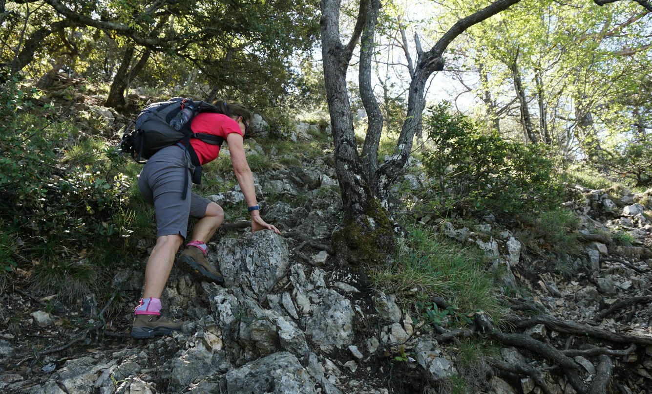


We started from signpost 88 right behind the parking, heading south along the GR51, gradually climbing along the wide trail. We came to a DFCI reservoir and a dirt road, and left the GR51 trail. We continued along the dirt track a bit, ascending to a clearing with nice views at about 940 m alt. Here, at signpost #80, we forked left (east) and climbed along the steep trail with sporadic yellow markings to the summit. In places, easy scramble was necessary. On a clear April day, we had great views down to the coast.
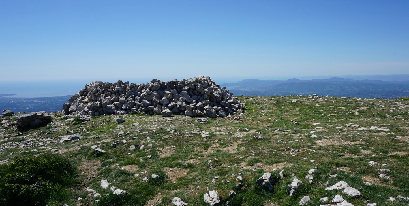
After a break, we continued straight north, with Puy de Tourrettes and its treeless southern face in front of us. We soon came to the saddle between the two mountains, and ascended along the well visible trail. Once on the summit plateau, the trail became less evident but you could walk almost anywhere. The summit was marked with a heap of stones. We did not go there, but headed NNW and soon came to the unmarked but frequently used trail that descended to the GR51 trail.
We continued along the GR51 south, and eventually came to a crossroads where we forked right, taking the signposted shortcut back to Courmes. The shortcut route then merged with the GR51 just before the village.

Duration: 4 h (walking time)

Total climb: 750 m -Note that the French guide claims that the climb to Courmettes alone is 730 m but in fact, as the climb from the village is continuous, the vertical climb to the summit is 620 m.

Map: IGN Cannes Grasse 3643 ET Côte d’Azur

Share story


0 comments:
Note: only a member of this blog may post a comment.