

Hike in the Cap Sicié Peninsula
The eastern side of the Cap Sicié peninsula merges with Toulon’s suburb La Seyne-sur-Mer, while the southern end is in a natural state with high cliffs and forests.
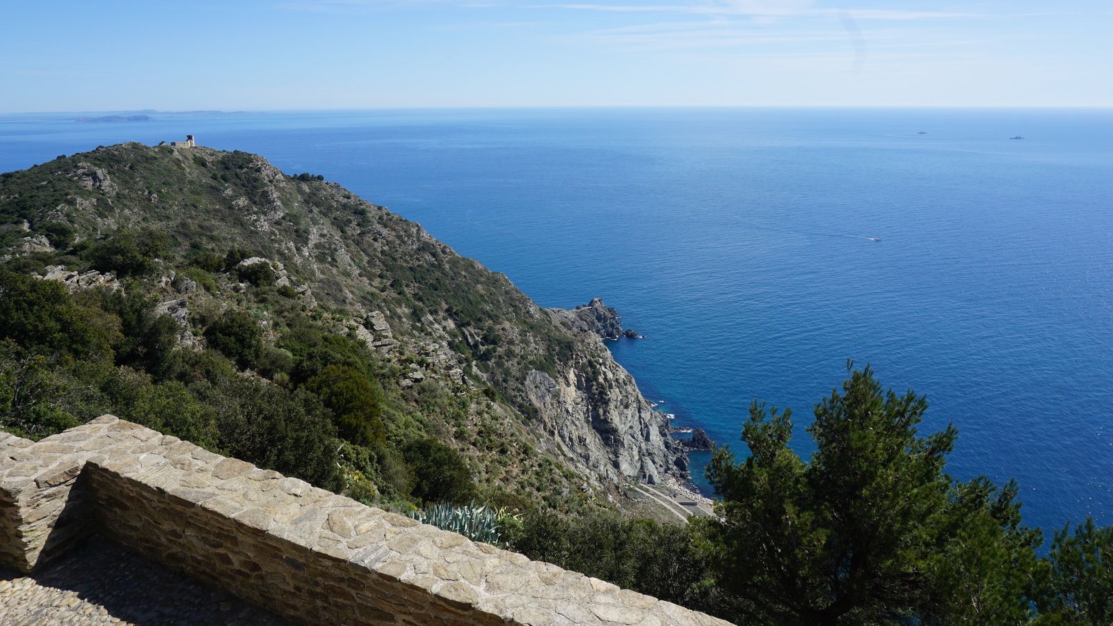
The Chapel Notre-Dame du Mai was built in 1625 on the southern tip of the peninsula, and it is still a pilgrimage site. The 360° panorama from the summit (360 m) it simply stunning.

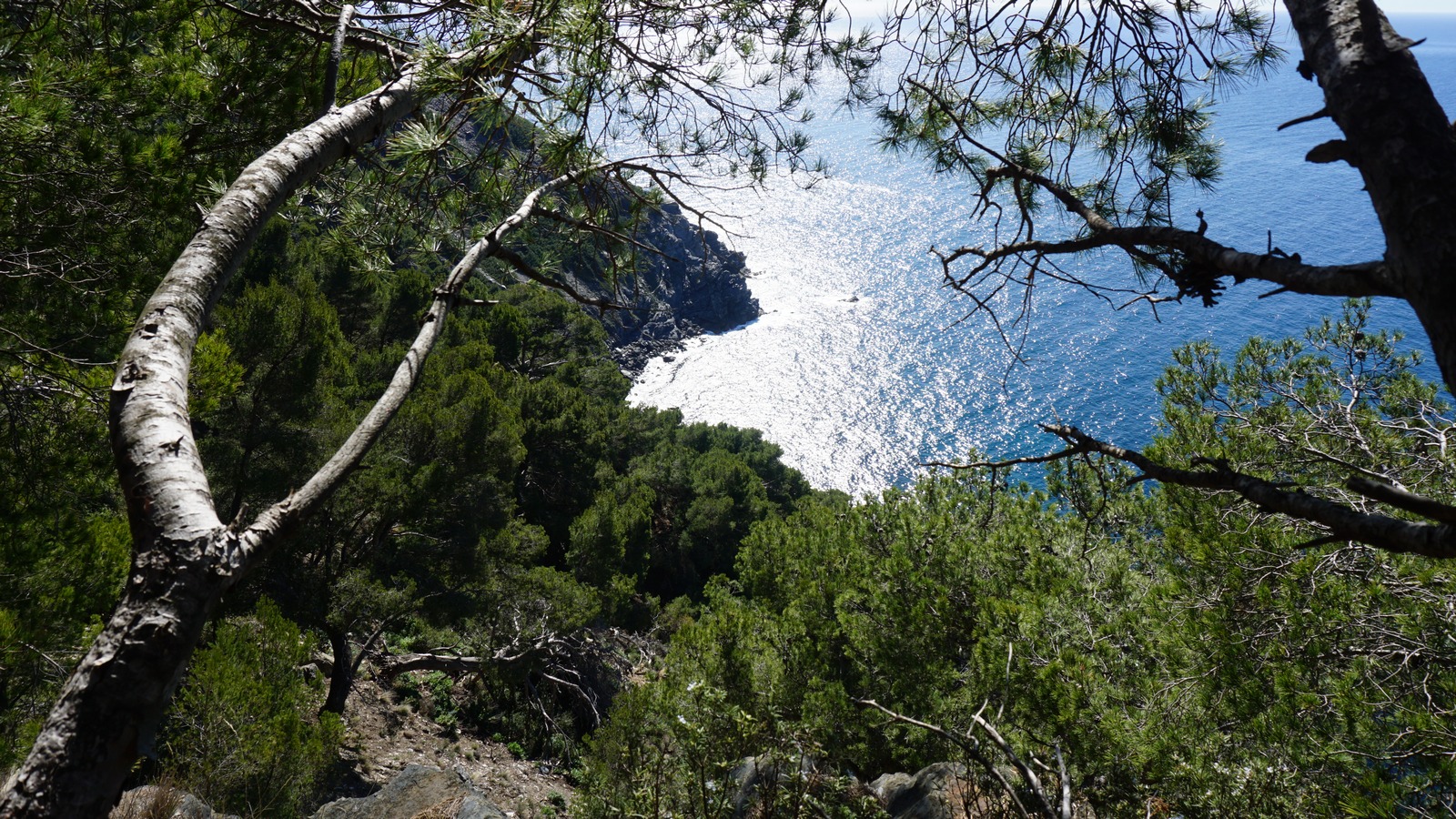

We started the hike from the little harbour of Le Brusc, ascending along the route to Mont Salva. The small road was first called Chemin de la Gardiole, then route de la Lèque. The trail was marked with yellow and white faded signs. There were sporadic “sentier littoral” signposts. The paved road changed to a dirt road higher up, and finally continued as just a path.
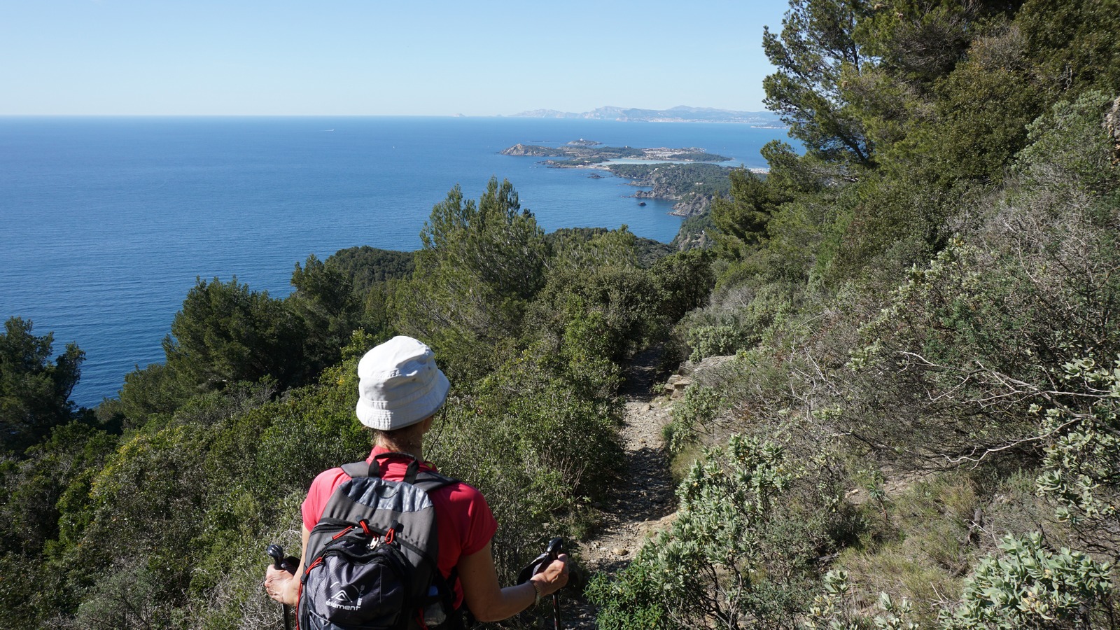
We reached a crossroads: The lower more “sportive” trail, and the higher “familial” trail that forked left. As this was still early March and the beginning of the season for us, we chose the easier trail. Even this one had a short steep section where easy scrambling was needed.
The weather was exceptionally warm with no wind. We stopped and changed into shorts, and the going was much lighter. We reached another crossroads on the ridge with no signposts, just a white sign painted on a rock. We headed east towards the chapel. The big telecom mast next to the chapel was already visible.
At the chapel, we were rewarded with a magnificent panorama. Needless to say, it was a perfect spot for our picnic. We used the same scenic route back to Le Brusc.


There were several ascents and descents during the hike, hence our GPS recorded 480 m total climb. The registered distance was nearly 14 km of which some 6 km comprised paved streets or roads. Total hiking time was about 4 h.
Share story


0 comments:
Note: only a member of this blog may post a comment.