The main hiking artery from the village of St-Jeannet, also marked as GR51, ascends straight north in a valley called Vallon de Parriau between Baou St-Jeannet and Baou de la Gaude.
GR51 forks left at signpost #95 (about 1,5 km from the village), and the most popular trail to Baou St-Jeannet leaves the GR trail after 200 m or so.
To get some variation, we decided to hike up to the neighbouring mountain top on the opposite side. Baou de la Gaude and la Colle can be reached both from St-Jeannet and Gattieres.
 |
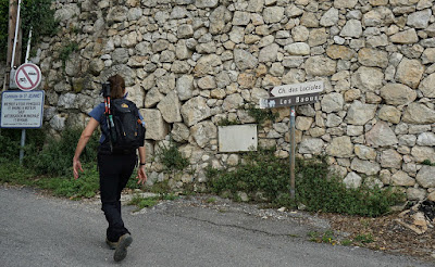
Chemin des Lucioles in St-Jeannet
|
 |
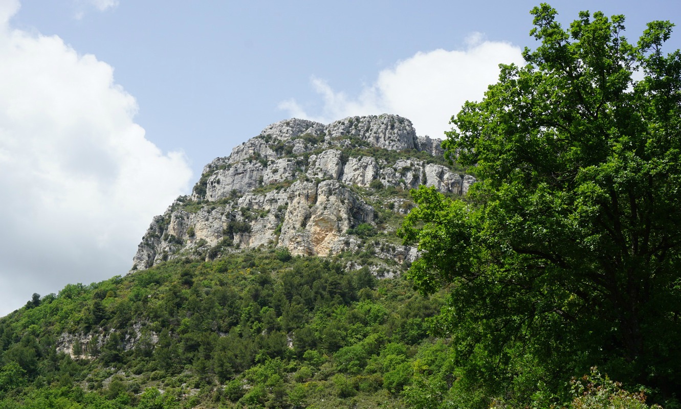
| Baou de la Gaude seen from St-Jeannet |
 |
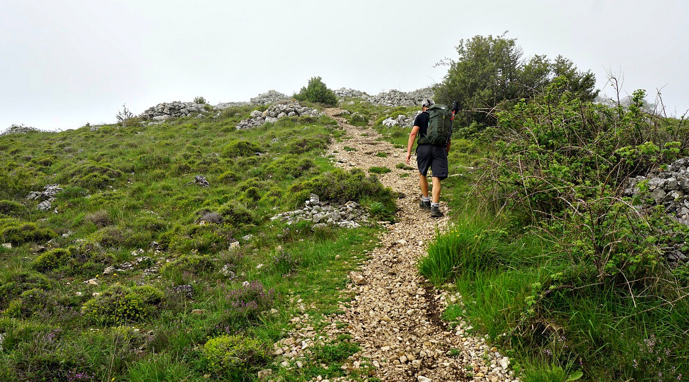
GR51 trail above St-Jeannet
|
 |
GR51 trail higher above St-Jeannet
|
 |
| Wild thyme in blossom |
 |
Trail to signpost 75
|
 |
Dash8 Q400 low above Var River
|
 |
From signpost 75 to la Colle
|
Starting from the village parking, we ascended along Chemin des Lucioles and soon joined the GR51. We hiked past signpost #95 and forked right at #96. The trail now marked yellow zigzagged in the incline to signpost #75 on a plateau. During the ascent, we found wild thyme in blossom and picked some for our dinner. We forked right (south), and ascended to la Colle which was the highest point at 844 m.
 |
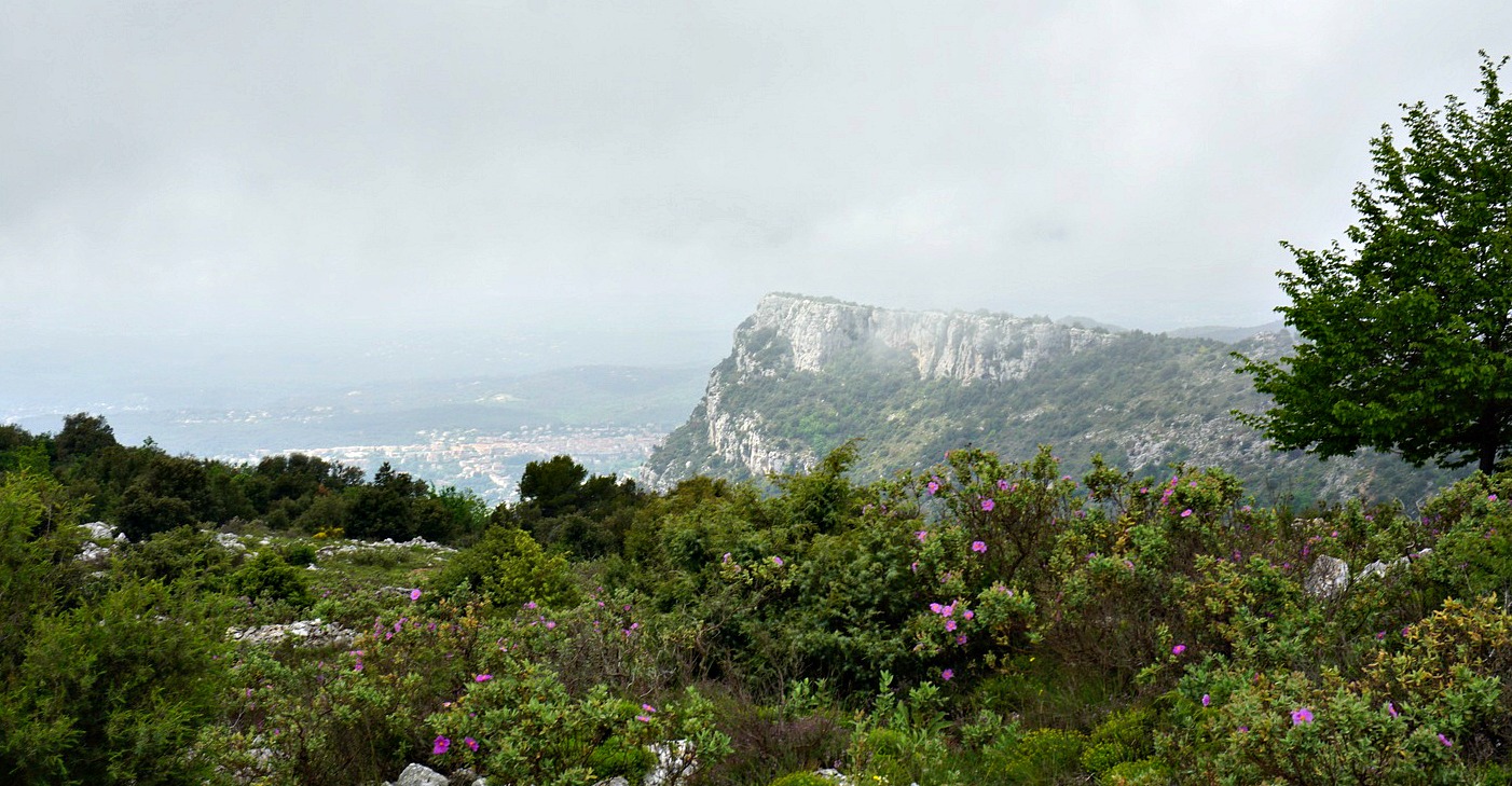
Baou St-Jeannet viewed from la Colle
|
 |
Old oak tree near Baou de la Gaude
|
 |
Baou St-Jeannet
|
 |
St-Jeannet
|
La Colle is a great place for picnic. We have stopped here many times. It’s tranquil, and you have views down to the Var River Valley as well as to Baou St-Jeannet. After the break, we continued straight south as far as to the centuries-old oak tree, mentioned in many guides and marked in the maps. It was our turning point today. Baou de la Gaude nearby does not actually offer the same views as its western neighbour. At signpost #97, we took a shortcut to the trail we used on the way up, and descended back to our starting point.
Map: « Cannes-Grasse » Côte d’Azur TOP 25 N°o 3643 ET


0 comments:
Note: only a member of this blog may post a comment.