

Loop trail around Mont Razet

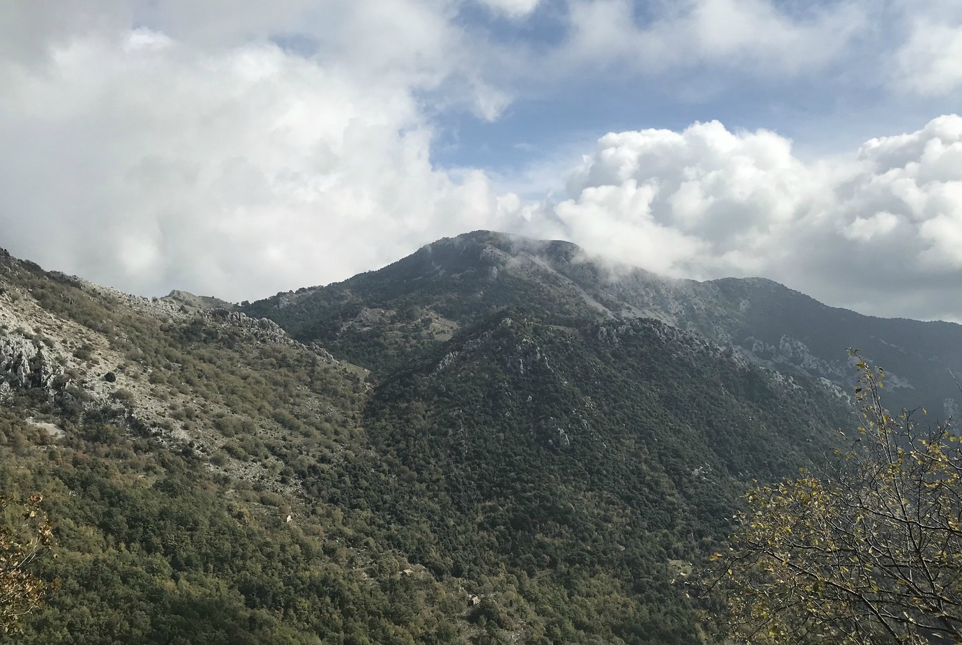
We have previously hiked up to Mont Razet (1285 m) from Col de Castillon (730 m) between Menton and Sospel. This time we decided to explore the trail that circles Mont Razet. The GPS track shows the itinerary. Our planned turning point was the picturesque Col du Razet (1032 m) with views down to Menton and the coast.
Many of the coastal mountains in this region close to the Italian border reach well over 1000 m, notably Grammondo (1379 m). During the hunting season no hunting days, Tuesday or Friday, should be preferred.
We noted that many of the signposts had been renewed. Most of the trail was easy with some short steep and rocky parts. A well-known hiking area for locals, it remains a bit off the beaten track for visitors.
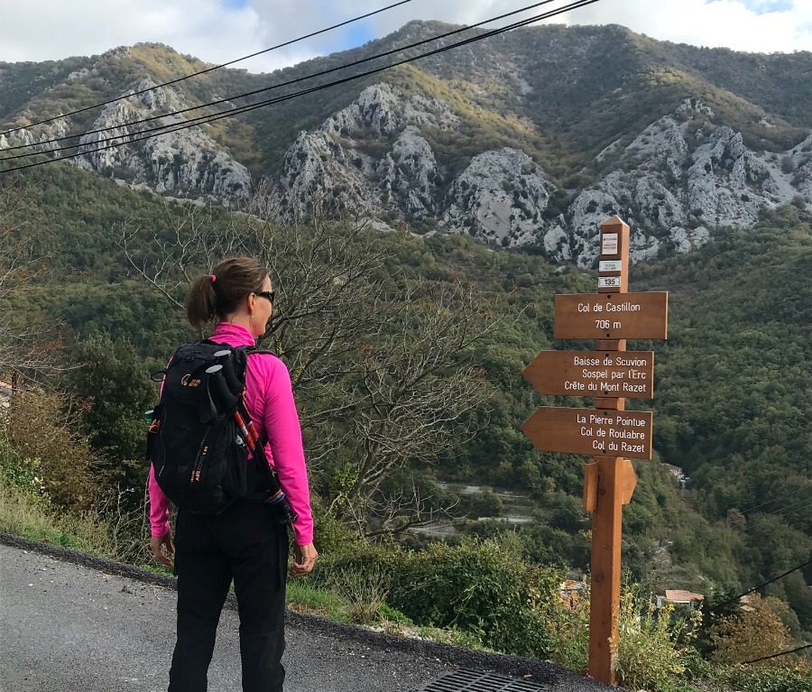


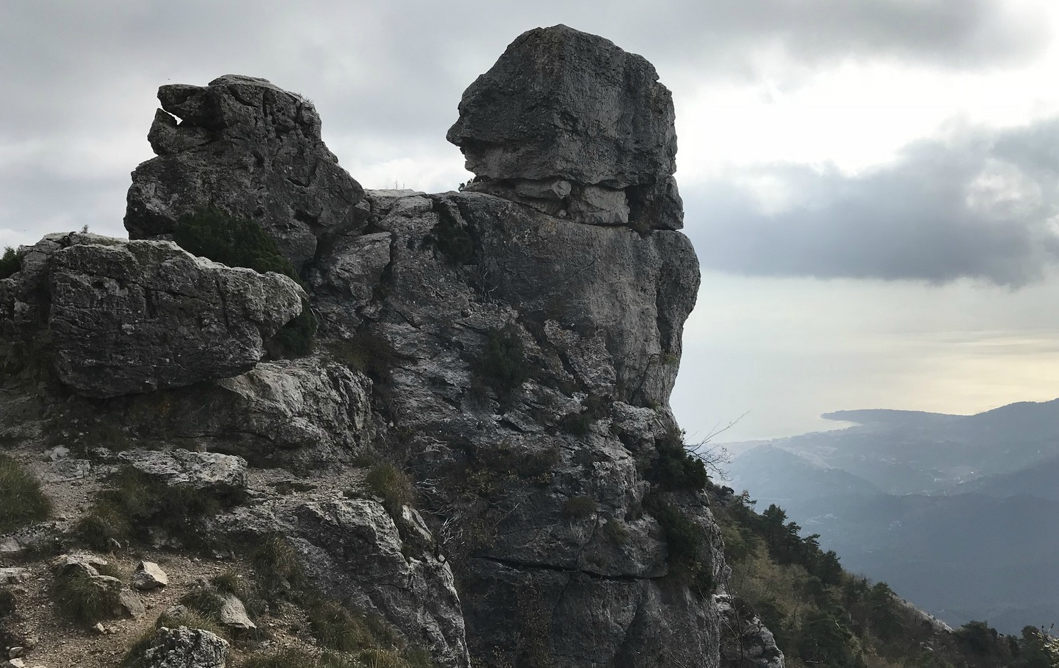
From Col de Castillon we started ascending straight north towards Baisse de Scuvion (1168 m), first passing a crossroads at signpost #137. At Baisse de Scuvion, we were just under Mont Razet. We continued, now descending a bit, heading east to Col de Roulabre (1094 m; signpost #91) then to Col du Razet (signpost #17), where we turned back, followed the same trail to Col de Roulabre (15 min), then further to Pierre Pointue (1176 m; signpost #93 and the crossroads to Mont Razet summit), with remnants of military bunkers by the trail.
After Pierre Pointue the trail descended sharply. Some parts of the trail ran in the forest, some in a rocky incline. Eventually we reached signpost #137 again, and walked back to our starting point.
All in all, it was a great variant of our previous hike where we followed the local randoxygène guide “Circuit du Razet”. In fact, this time we really circled the mountain!
Distance: 9,6 km
Duration: 3h 40
Elevation gain: 616 m
Map: IGN Nice-Menton Côte d’Azur 3742 OT

Share story


0 comments:
Note: only a member of this blog may post a comment.