Exploring the near history of Castillon, above Menton
The little village of Castillon between Menton and Sospel has had a troubled history. It was first created in the 12th century when fortifications were built on the site –hence the original name “Castiglione” or a small castle.
In 1887 an earthquake with its epicenter somewhere near the Ligurian coast left the village in ruins. It was rebuilt, but in 1944 during the final phases of WW II the village was again destroyed by the Allied bombardment. At this moment the village was still occupied by Germans. Military installations (See: Ouvrage Castillon; in English) had been built here in the 30's as part of the little Maginot line.
For the rebuilding, another site was chosen a bit further down the valley for the current village of Castillon (550 m).
For hikers, the site of the ancient village at Col de Castillon (730 m) is an ideal starting point as it happens to be in the crossroads of many marked trails. Here, the ruins of the church still remain.
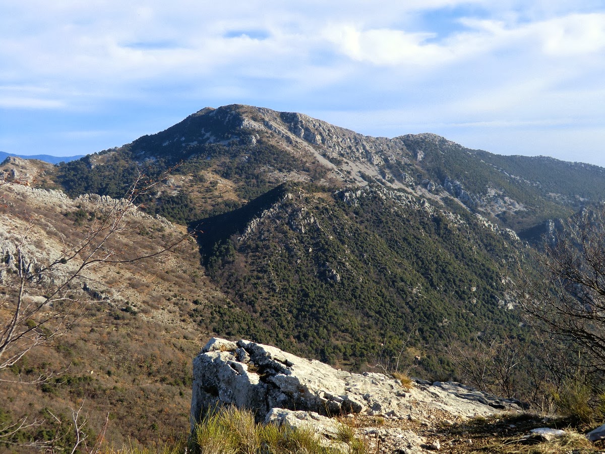
The hike presented here can also be found in the Conseil Général guidebook “Pays Côtier” (in French) where the hike is called Circuit du Razet and graded as medium/moyenne. The vertical climb is about 500 m, about 100 m more if you visit the mountain top at 1285 m (recommended). Needless to say, views from there are great. As always, it’s recommended to have the topographic map of the area as well. (IGN 3741 ET) From the starting point at 730 m, you first walk straight north along a small road, reaching signposts 136 and 137, then further 92 and 93. From the latter, it’s a short walk to a place called la Pierre Pointue (1176m) –also the site of an old military outpost. Many old bunkers can be seen here. From here, the peak can be reached in 15 min. The route back to the starting point goes first to signpost 93 then turns left and descends eventually to nr 137. It’s marked with yellow signs all the way.
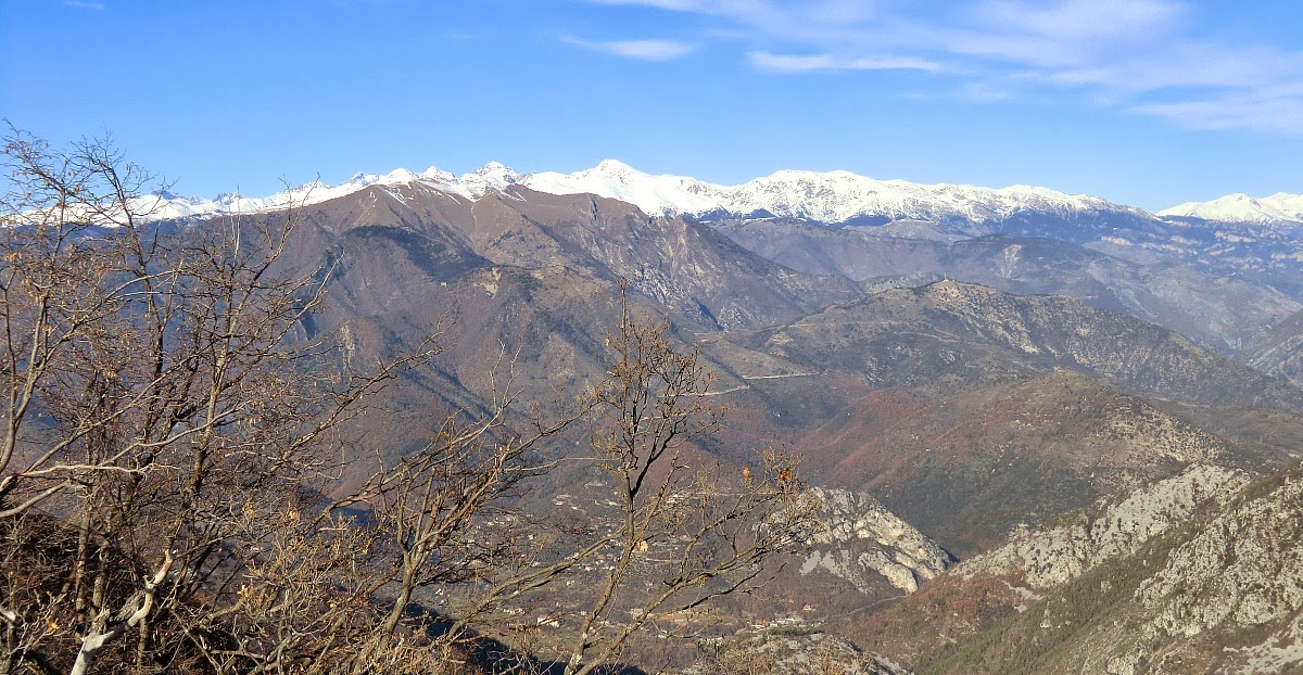
Apart from rewarding views both to Mercantour national park and its peaks, and the bay of Menton in the south, the hike offers some insight to the quite turbulent history of the region. When driving there from Menton, remember to exit the D 2566 road just before the tunnel which actually goes under the Col de Castillon.


0 comments:
Note: only a member of this blog may post a comment.