

Queyras: Loop trail around Tête des Toillies
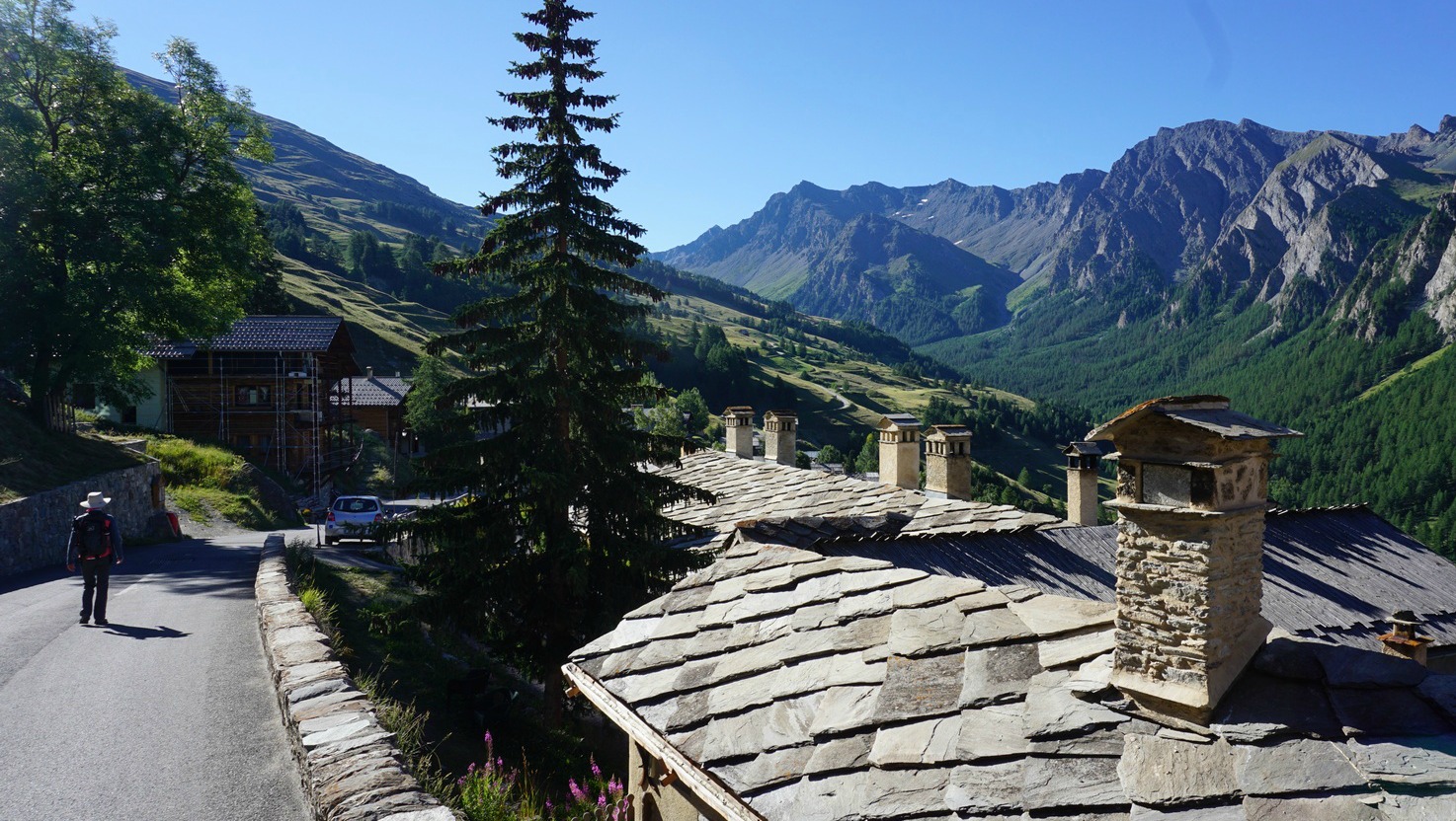
The hike we describe is another great tour from St-Véran (2040 m). The village of St-Véran is situated about 115 km from Nice as the crow flies, and it is a 4-hour drive over Col de la Bonette and Col de Vars. This 10.7 km loop trail is truly alpine as it runs above 2500 m (8200 feet) all the time.
Three mountain passes, two countries, and several lakes; this is Tour de la Tête des Toillies! The views are stunning all the way but it is essential to choose a clear day for this itinerary that circles Tête de la Toillies (3175m).
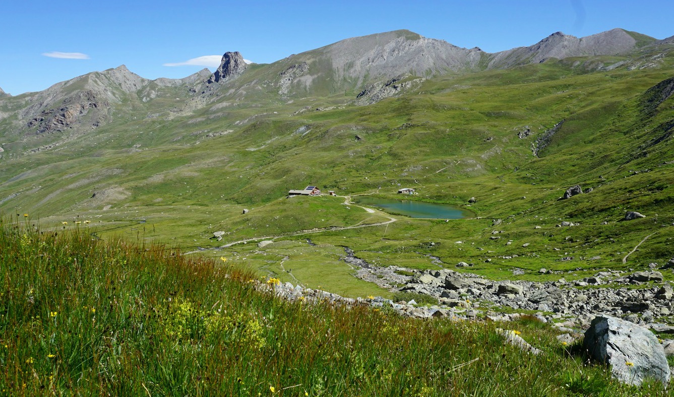


To reach our trail head, we took the shuttle bus from St-Véran (5km; 6€ return fare) that runs during the peak season. The shuttle stopped under the Chapelle of Clausis at 2240 m elevation. From here, we walked 2,6 km along a dirt track towards the Refuge de la Blanche following the signposts. At 2500 m we came to a crossroads that marked the start of today’s loop, and headed south towards Col de la Noir (2955 m). Because of the steep ascent to this mountain pass, that also was the highest point of this hike, we had decided to do the loop anticlockwise i.e. to be done with the hardest climb first.
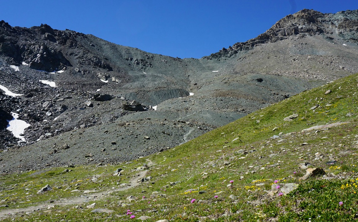
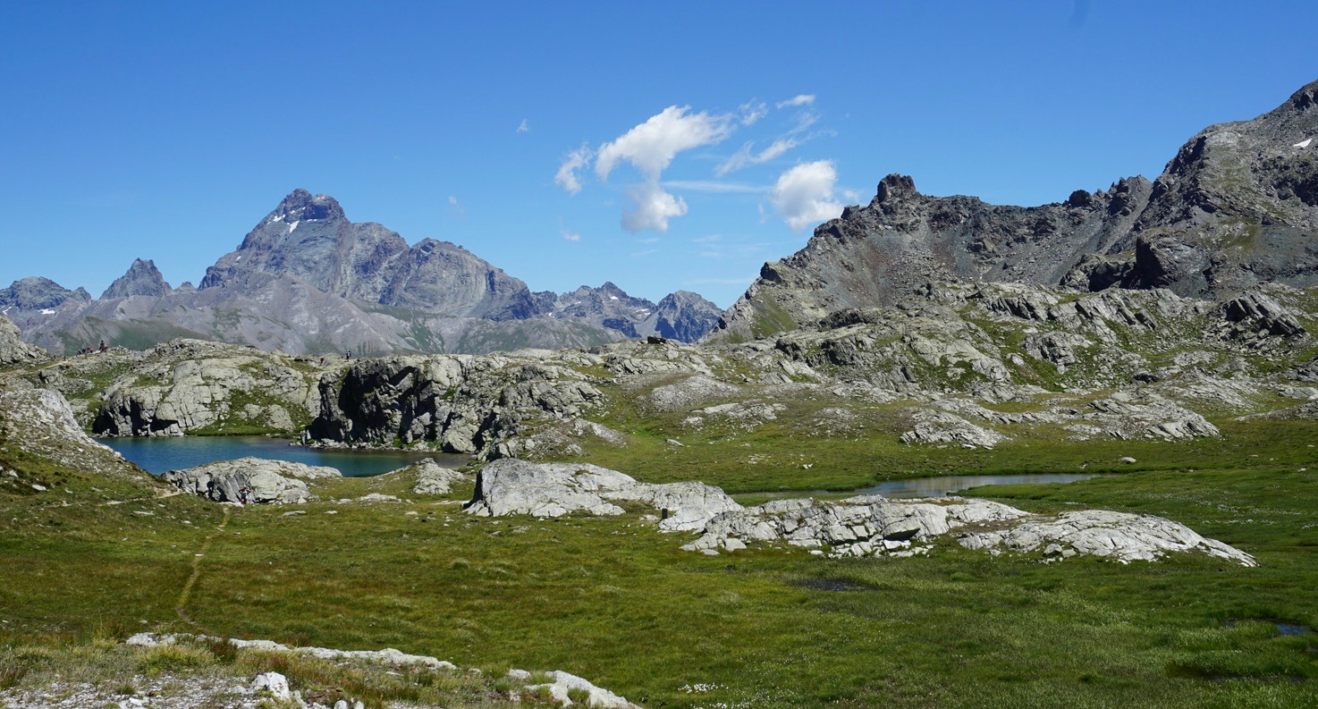
We continued south along a good trail, passing the beautiful Lac de la Noire (2887 m), and descended further south, then southeast. The verdant plateau and Lac de Longet (2641 m) became visible below us. Above the lake, we merged with the GR trail that ascended from Maljasset in the Ubaye Valley. We followed the GR trail east to Col de Longet (2673 m) that marked the Italian border. From Col de Longet, we had a great view of Mont Viso (3841 m) and several lakes on the Italian side.
After a short but steep descent on the Italian side, we came to another crossroads where we forked left heading north towards Col Blanchet (2897 m), where we re-entered France. The vast green upper valley above St-Véran was below us. We descended along a good path, passing Lac Inférieur, and reached the crossroads at 2500 m thus closing the circle. We walked back to the shuttle bus along the same dirt track that we used in the morning. It is possible to take the trail running in the alpine meadows, too.
Elevation gain: 980 m
Distance: 15.8 km (our log starting from the shuttle bus stop)
Duration: about 6h 30

Map: IGN 3637 Mont Viso
Share story


0 comments:
Note: only a member of this blog may post a comment.