

Queyras: Beauregard Ridge above St-Véran

It is possible to start hiking directly from the village of St-Véran, without using the shuttle bus to the most popular trails 5 km or so away.
On the 2nd day of our stay, after having hiked around Tête des Toillies the previous day, we decided to do a shorter hike, and explore the mountain ridge called Montagne de Beauregard above the village. The western flank of the mountain consists of vast alpine meadows, and there are several ski lifts. We could see that this area clearly was less popular although it offered interesting alternatives and great views.

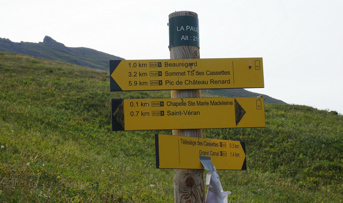


We started the hike straight from our hotel and ended it in a café in St-Véran. We first walked up to Chapelle St-Marie Madeleine above the village. Next to the chapel, there was a signpost that showed the way up along a dirt track to Beauregard and as far as Pic de Chateau Renard. The latter is the highest point of the ridge at 2989 m.
We started ascending along the track as far as a crossroads, where yellow markings indicated that the trail continued left (there were no more signposts), thus leading hikers automatically to Beauregard, to the westernmost tip of the mountain ridge at about 2400 m elevation. It was also the upper station of a ski lift.
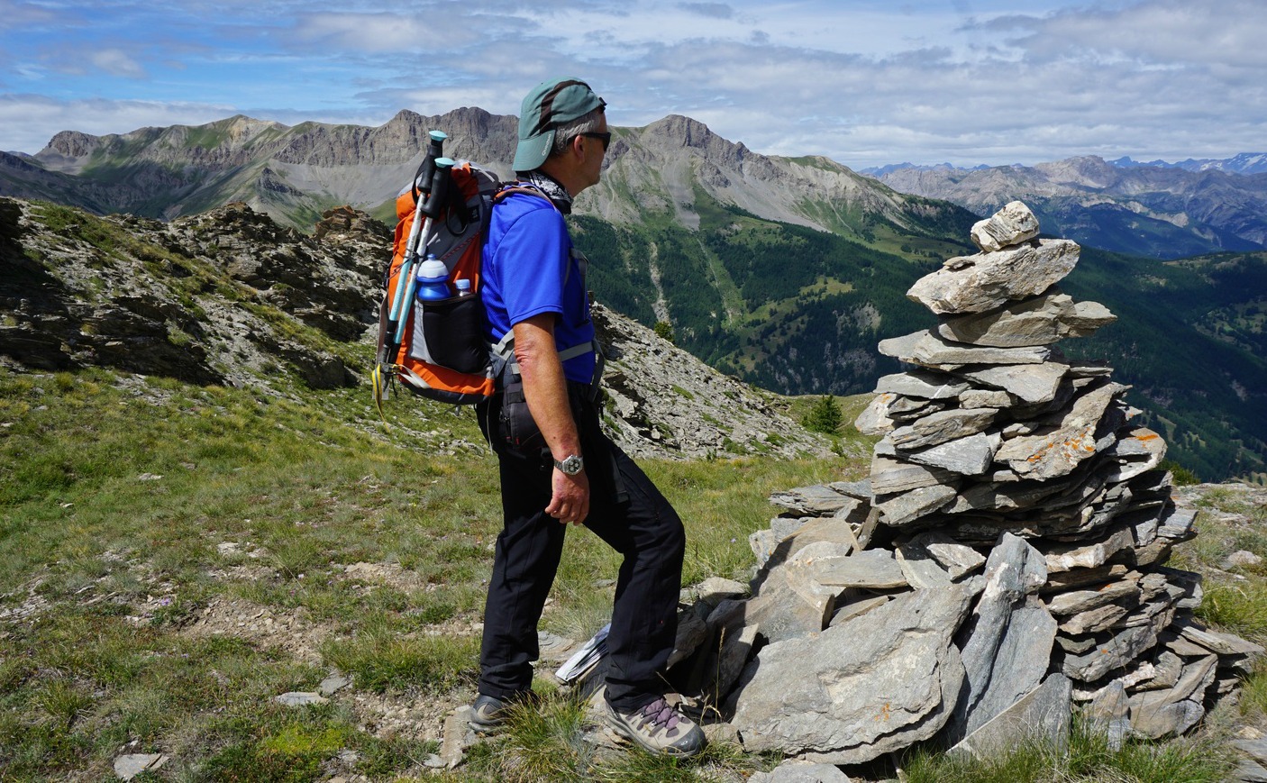
To reach the mountain ridge itself, we climbed up from the Beauregard plateau, and very soon found a good trail. We continued along the trail that climbed gently, heading southeast. The ridge consisted of several small mostly unnamed peaks that gradually got higher. The north-eastern flank of the Beauregard Ridge was very steep. Staying away from there, you could well walk outside the trail in most places.
We continued along the ridge till about 2600 m elevation. From here, we had great views down to St-Véran 600 m below us. We started to descend, now taking shortcuts first along the bare upper slope, then along the alpine meadows. We came to the dirt track that we used during the ascent, and walked back to the village.
Note that up on this ridge you can very much make your own hike. It is possible to hike as far as the Pic de Chateau Renard using the trail network and the dirt tracks.
Duration: About 3 hours

Elevation gain: 560 m
Distance: 6.4 km
Map: IGN Mont Viso 3637 OT
Share story


0 comments:
Note: only a member of this blog may post a comment.