

Vars: Tête de Paneyron

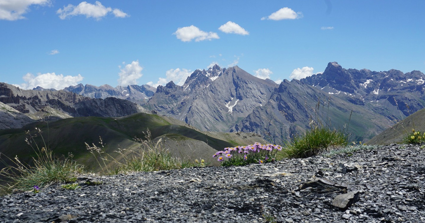
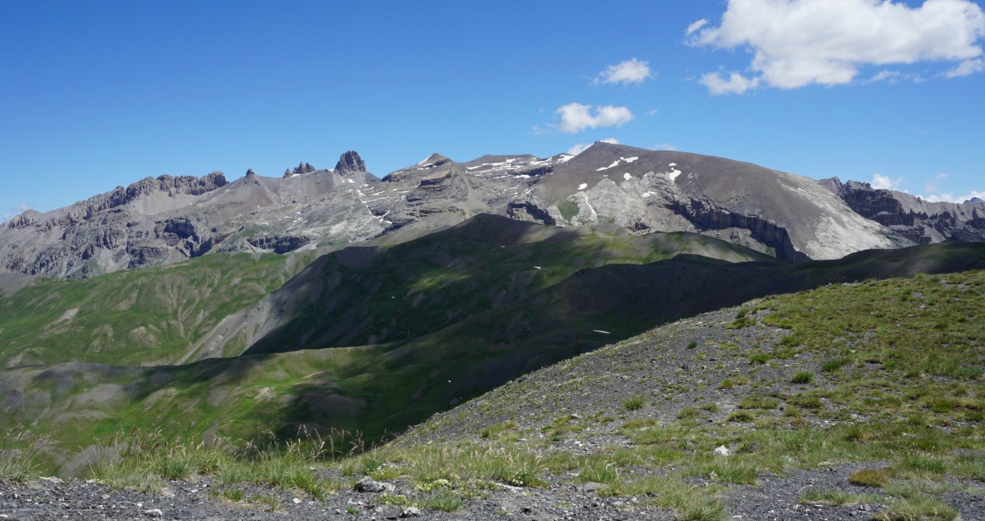
The round summit of Tête de Paneyron (2875 m) dominates the landscape east of Refuge Napoléon 2 km north of Col de Vars (2108 m) by the D902 road. From the summit of Tête de Paneyron, one can see several 3000 m+ peaks, such as La Mortice (3188/3169 m), Aguille de Chambeyron (3412 m) and Brec de Chambeyron (3389 m).
Tempting as the summit was, we gathered some hiking info regarding Tête de Paneyron. Finding information was easy as some guidebooks had the description, and more was available online, mostly in French although we found at least one report in English. The trail is marked in the IGN map. Col de Vars in situated 106 km north of Nice as the crow flies, and driving there over Col de la Bonette takes about 3 hours.
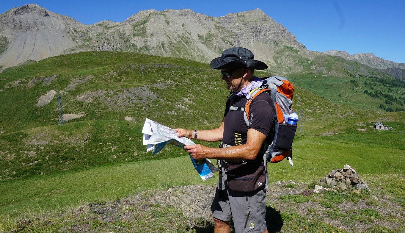


We started the hike to Tête de Paneyron from Col de Vars. We walked past the cafeteria heading south about 100 m, then followed a dirt track circling the hill east of Col de Vars as far as to a sheep herder’s hut. A little before the hut, we forked right (east) and crossed a marshy meadow before starting to ascend. Some yellow markings were present, but mostly there were just cairns to show the trail. However, on a clear day it was very well visible all the time.
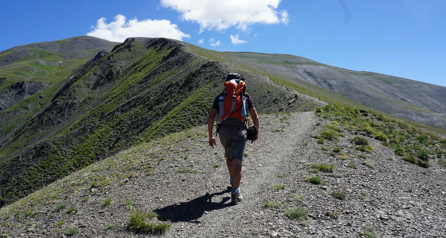
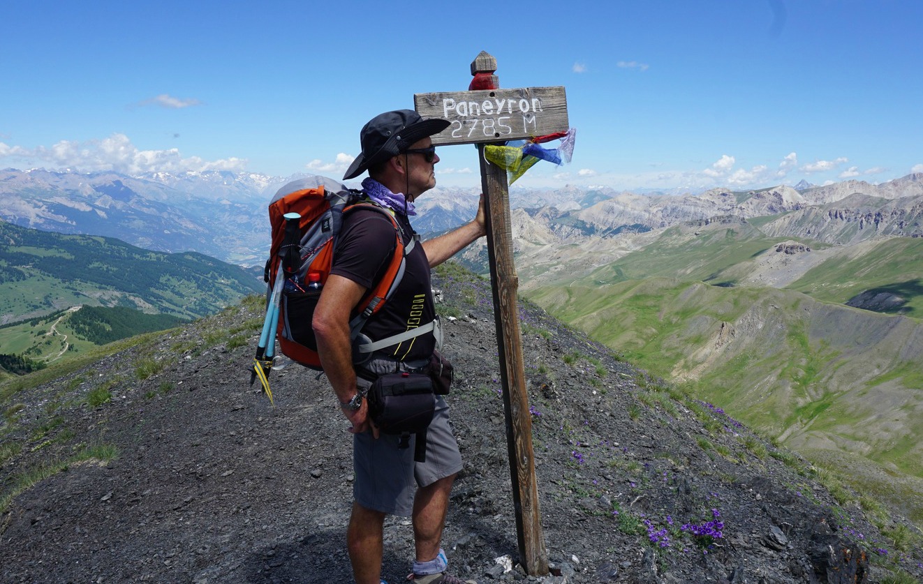
Higher up, above 2400 m, the trail ran along a ridge called Crete de Vallon des Prises. The incline became steeper at this point, with some loose slate. But even trail runners use this route, so the ascent was never really difficult. We reached a ridge just below the summit. The mountaintop was marked with a large heap of stones as well as with a signpost.
We were lucky with the weather, and could admire the 360° panorama before heading back along the same trail.

Elevation gain: 685 m
Duration: 4 h hiking time. Ascent 2h10.
Distance hiked: 9 km
IGN map: 3538 ET Aguille de Chambeyron Cols de Larche et de Vars

Share story


0 comments:
Note: only a member of this blog may post a comment.