

Queyras: Pic Caramantran 3025 m
The village of St-Véran (2040m) in the Queyras Regional Park is said to be the highest village in Europe. Obviously there are higher settlements, notably ski resorts but perhaps they do not have a village status.
St-Véran is known of its high wooden houses with attic balconies as well as several sundials. In winter, it forms a ski resort together with neighbouring Molines-en-Queyras. Situated in the heart of Queyras, St-Véran is a very popular hiking centre in summer. The GR58 long-distance trail (Tour of Queyras) goes through the village. The ascent to Pic Caramantran (3025m) is the easiest 3000+ summit that we have done so far.


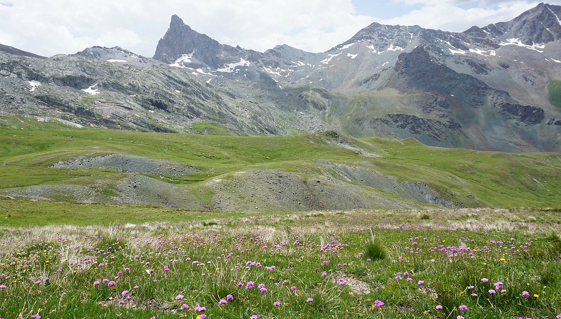
From the village, we took the shuttle bus to the parking (2340m) just below the Chapelle de Clausis. The navette was mandatory (unless you prefer to walk!) in July and August as no private vehicles were allowed on this ca 5 km long dirt road. From the parking, we walked a bit towards the chapel, and located the GR58 trail. We started ascending east towards Col de Chamoussière (2884m). GR58 is well marked and signposted. Once at the col, we saw a lot of hikers climbing from the opposite direction namely from Col Agnel (2744 m) from the D205 road, hence having an especially easy ascent. Our goal, Pic Caramantran was looming above. We took the well visible trail to the summit. At the same time, the weather was deteriorating. Dense clouds rose from east preventing the views, in particular towards Mont Viso (3841m). We nevertheless reached the summit after a 35 min ascent from Col de Chamoussière. At least we could see Le Pain de Sucre (3208m) and the neighbouring Pic d’Asti (3220m) between the clouds.
From the summit, we initially decided to descend along the same trail because distant thunder was heard from the Italian side. Further down, we forked left from GR58 at about 2700m altitude and headed south towards Refuge de la Blanche (2499m). You could walk almost anywhere on a soft alpine meadow, we just had to mind the marmot potholes and some wet areas.
At the refuge, we had coffee and blueberry tart. From here, we headed back towards Chapelle de Clausis. There were many trails used by hikers, mules and donkeys. From the chapel, we descended to the parking, and took the shuttle bus back to St-Véran.
Hiking time: 5h
Ascent: 700m
Share story


0 comments:
Note: only a member of this blog may post a comment.