

Lucéram hike

Lucéram (650 m) is only 28 km from Nice. Medieval Lucéram was a fortified town at a strategic location on one of the salt roads between the Riviera and Piemont. Along these routes, the Genoese sent oil, salt and dried and salted fish north and got flour, cheese and red wine in return.
The elderly in Lucéram still speak a local dialect which is said to be Occitan with a Piemontese twist. The main church and the chapels in the village are famous for their late medieval artworks.
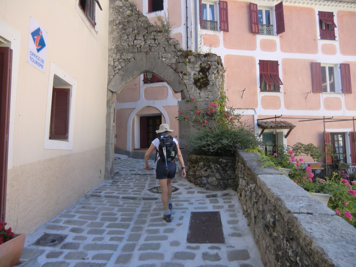


We started the hike called Circuit du Grand Braus from signpost #170 in the village centre and walked past the tourist office to the church. The first part of the trail is GR510 with white and red signs. After the church, the trail crosses a small tributary of the Paillon River. We ascended to Col de la Plastra (977 m), and continued from there along an unpaved road about 200 m to signpost #174. Here we forked sharply left leaving the GR510 and followed the trail now marked with yellow to Caire de Braus (1273 m). The ascent from the village to this point was almost continuous.
We then followed the ridge with excellent views down to Lucéram north passing Grand Braus (1331 m), then descended a bit to Col de l’Ablé (1149 m) where we found a perfect spot for our picnic. On the day of our hike, there was a local rally passing us on the nearby RD54.
After the break, we followed an unpaved road heading west to signpost #180. At this point, we forked left following the trail that descended rapidly first in a pine woods then passing some beautiful meadows and lime trees(tilleul) to signposts #183 and #184 before reaching Lucéram.
Total ascent: 740 m
Duration: 4 h
Map: IGN IGN 3741 ET “Vallées de la Bévéra et des Paillons”
Update 2025: We did the same hike again. It is truly a great loop in the Nice hinterland above the picturesque village of Lucéram. Here's the track that we did not register 9 year ago:

 |
| Near Caire de Braus Lucéram |
Share story


0 comments:
Note: only a member of this blog may post a comment.