

Chemin du Paradis above the French Riviera

Bar-sur-Loup (310 m), our starting point today is a rather small village on the RD2210 road above Cannes. But Bar-sur-Loup has its festivities; right now they were preparing for the Orange Festival.
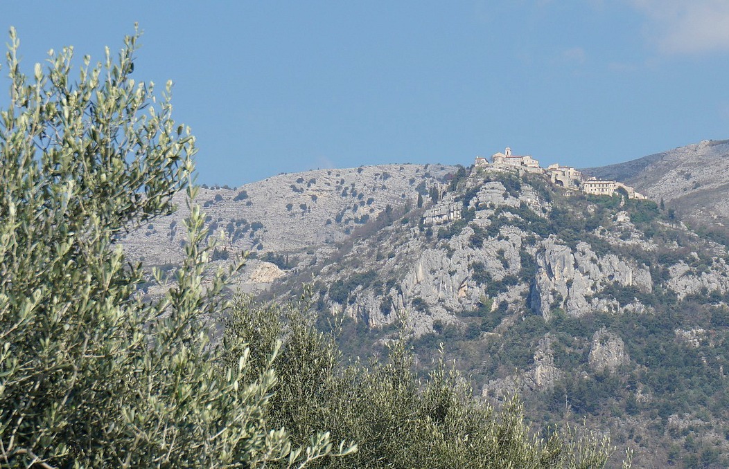
Our goal, the hilltop village of Gourdon (760 m) is totally different. We think it is a bit touristic, but it is nevertheless a nice spot for lunch on a warm and sunny day. On a clear day, the views to the coast are remarkable.

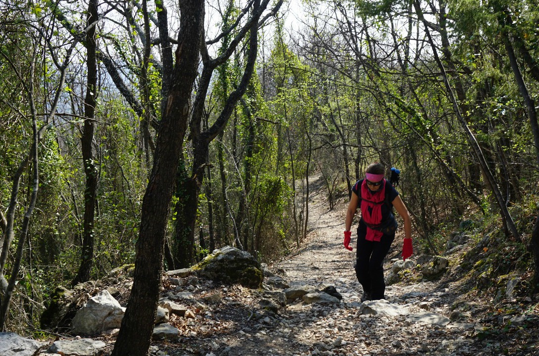

We parked in Bar-sur-Loup in the parking (290 m) by the RD2210 road. From there, we climbed through the old village to the Mairie and continued to Chapel St Claude (320 m). The loop hike is called Circuit du Paradis, and we followed the signposts to Gourdon. At the Chapel, the trail forked left (yellow signs) and started to ascend, eventually joining the GR51 trail (red and white signs). We continued north along the GR51, which at this point was wide and well maintained. After a while we crossed a small stream called Riou de Gourdon (a tributary of the Loup River) along a rather narrow iron bridge.
We soon came to the crossroads where we joined the Chemin du Paradis, continued ascending along this, walked over the Aqueduc du Foulon, a water pipe catering for the water supply of Grasse. From here, the ascent is somewhat steep all the way to Gourdon, our turning point today. We have made the ascent along Chemin du Paradis previously starting lower from Pont du Loup (about 200 m).
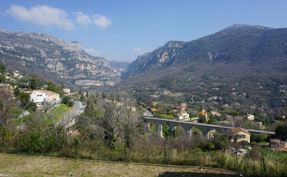
After lunch we descended along the same trail to the crossroads mentioned above, but now continued all the way down to the paved road near Pont du Loup, turned right (south) and walked back to Bar sur Loup (a small ascent). The signpost said 45 min but in reality it is an about 30-minute walk. You can follow this paved road all the way or fork right about 500 m before the village, following yellow marks. This route passes the graveyard and ends in the village centre.
Duration: 3h 30

Vertical climb: about 550 m from the parking by the RD 2210 road
Map: IGN 3643ET “Cannes-Grasse” Côte d’Azur

Share story


0 comments:
Note: only a member of this blog may post a comment.