

Cassis to Belvédère d'En Vau
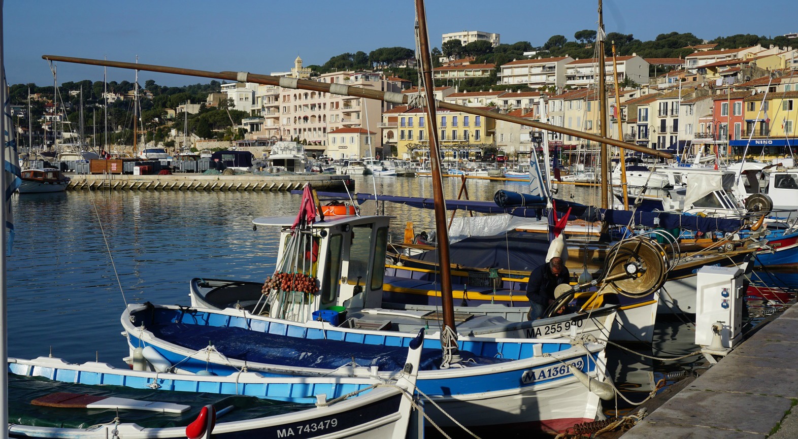
The little fishing port of Cassis about 17 km from Marseille has long lured painters. Dufy and other Fauvist artists painted here, and later Winston Churchill used to come here to paint. Quoting a recent Elle magazine, these days Cassis is said to be popular among chic Parisian media people. FranceTV2 Telematin showed a report of the local cuisine last summer.
Cassis is also famous for its white wines. There are several small wine shops in the centre of the town selling local wines. We visited Cassis in mid-February, and many of the shops were closed. We were lucky to find one which was open, and bought wines produced by Clos d’Albizzi, Domaine des Quatre Vents and Cassis Bodin 2015.
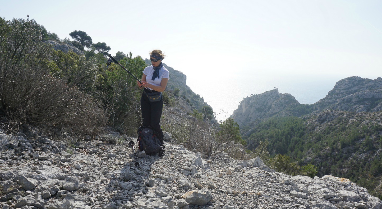
Massif des Calanques is situated between Cassis and Marseille. Now a national park, it is best known for its several calanques, fjord-like inlets with high limestone cliffs. On a glorious and warm day, we headed from the Cassis Port to Belvédère d’En Vau, a renown viewing point. We initially followed the GR98 trail. A trail map is essential even on shorter hikes. The GR trail is marked with the usual white/red, and other trails (that are numerous in the Calanques) with different colours. But signposts are pretty much non-existent.


From the port we followed the GR signs along streets to Port-Miou where the trail proper started. We made a short detour to Point de la Cacau admiring the pine tree covered peninsula. By the trail, we heard a weird breathing sound coming from under the ground. In fact, there was a fissure in the rock as far as to the sea, and incoming swells pressed the air through this opening. It’s even marked in the hiking map and called trou souffleur.
We continued along the GR 51/98 (also a green trail #8 in the map), climbing in the woods to about 180 m altitude. Here, at a clearing we crossed a blue trail #4. We followed the GR trail west. The trail now descended abruptly to Vallon d’En Vau where the GR merged with a dirt track. We forked right (turning left would have taken us directly to the Calanque d’En Vau beach) and followed the track about 800 m before forking left leaving the wider track. The trail -still marked with both white/red and green-took as rapidly to Col de l’Oule.
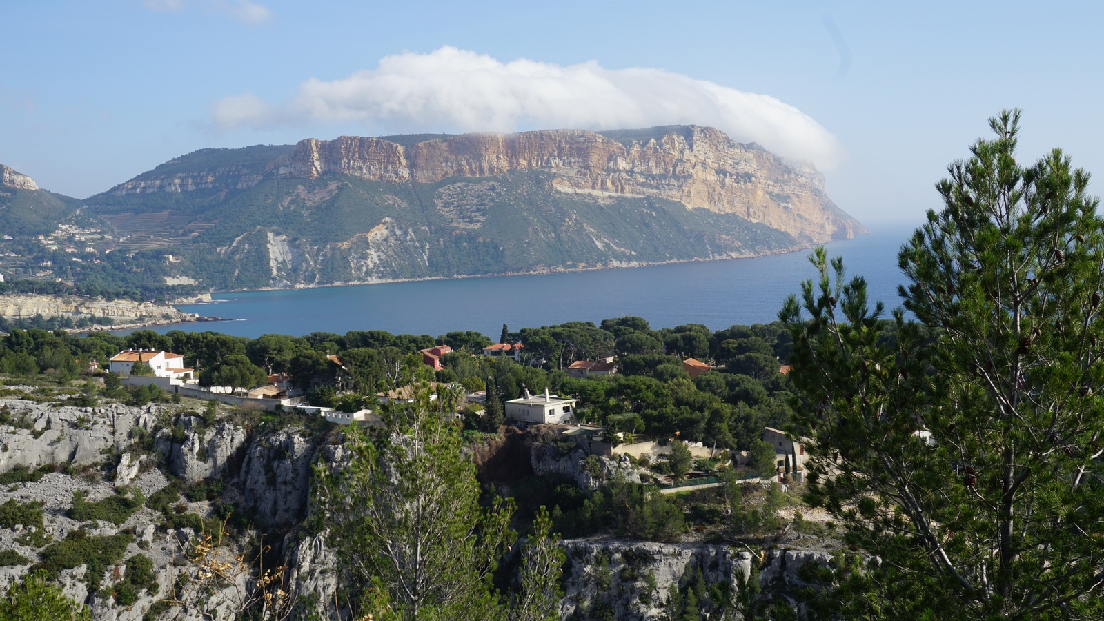
From the col, a wide trail now marked blue #2 ran south directly to our goal, Belvédère d’En Vau (170 m). Calanque d’En Vau, considered by many the most picturesque of all the Calanques, was right below us.
We headed back to Col de l’Oule, and chose to take a longer inland route back following first a trail marked with brown north. The trail soon merged with a dirt track (red, #7), and we walked along it as far as to Maison Forestière. Now heading back to Cassis, we forked right and followed a red trail #7a southeast to Auberge de jeunesse. From here, we followed an unpaved track down to Port-Miou. The last part of the hike followed the streets back to Cassis Harbour.

Duration: 5h 50
Climb: 528 m (our GPS data)
Length: 17.7 km
Map: IGN Les Calanques de Marseille à Cassis (9€50 at the Tourist Office)
Share story


0 comments:
Note: only a member of this blog may post a comment.