

Walk above Saorge

The medieval village of Saorge (510 m, 443 inhabitants in 2013) can be reached from Fontan in the Roya Valley. In ancient times, the salt route passed through Saorge. It is said that some 10000 mules travelled each year along this route towards Tende. In 1860, Saorge became French after a referendum, then occupied by Italy during WWII, and finally annexed to France in 1947.


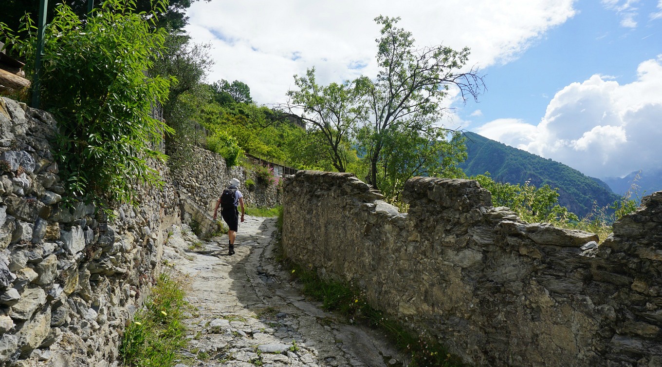
We parked at the entrance and walked through the village. Cars were not allowed here, but some locals used ATVs on the narrow streets. The village certainly has a special atmosphere as much of its medieval past has been preserved. The GR52A trail actually goes through Saorge, and we followed this. We soon reached the Franciscan Monastery Notre-Dame-des-Miracles on the outskirts of the village. The good and partially cobbled trail ascended to signpost #162. Here we forked left following the trail marked with yellow towards Peiremont and signpost #433 as recommended in the guidebook (Circuit de Peiremont). We soon came near some houses, flocks of sheep and dogs that weren’t too happy about our presence. We walked back to #162 and took the GR52A trail instead. The views down to the valley were better from this trail, too. We continued to signpost #163 and a bit further to Chapelle Ste-Croix. It was closed and looked very much abandoned. Here we took a break and assessed the deteriorating weather. We decided to turn back here. Signpost #433 would have been quite near albeit 200 m higher, and the optional Col de Peiremont a bit further at 1070 m altitude.
Based on this short walk, we recommend taking the GR52A trail both ways as the views are better and the trail is good. Doing the loop via Peiremont does not add much.
Duration: 2h 30

Climb: 250 m (The loop would have been 360 m)
Map: IGN Vallée de la Roya 3841 OT
The Randoxygène guide
Share story


0 comments:
Note: only a member of this blog may post a comment.