St Barnabé: Village Nègre hike
 |
| Village nègre St-Barnabé |
Using the parking of St Barnabé (960 m) as a starting point, we made a short loop hike on the north-eastern flank of Puy de Tourrettes.
We headed southeast along the GR51 as far as to signpost #261. The initial part was almost flat. At #261 we forked right along the yellow marked path (La Caïre, Tourrettes sur Loup etc), and climbed to signpost #177 where we left the marked trail, again forking right. We followed a wide trail, and ascended to about 1050 m elev. not far from the power lines crossing the mountain flank.
 |
| GR51 from St-Barnabé |
 |
| Leaving GR51 at signpost261 |
 |
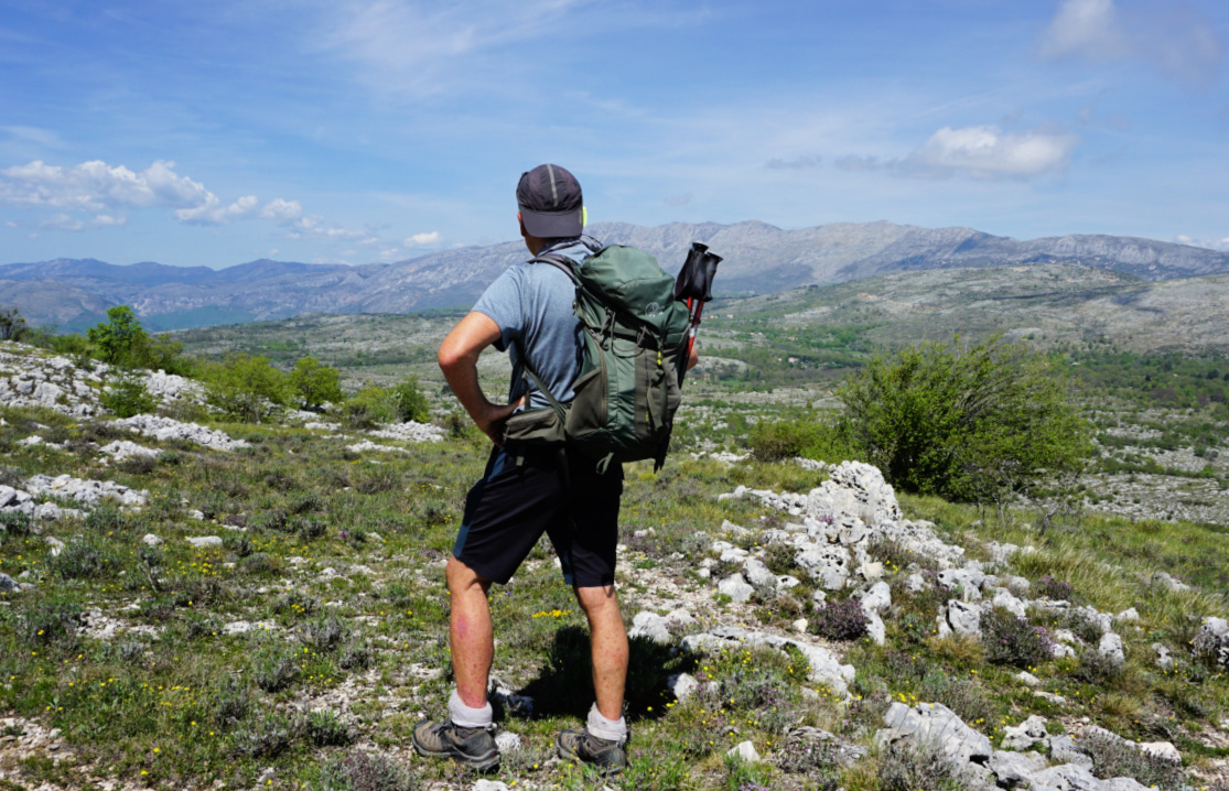
| Puy de Tourrettes |
 |
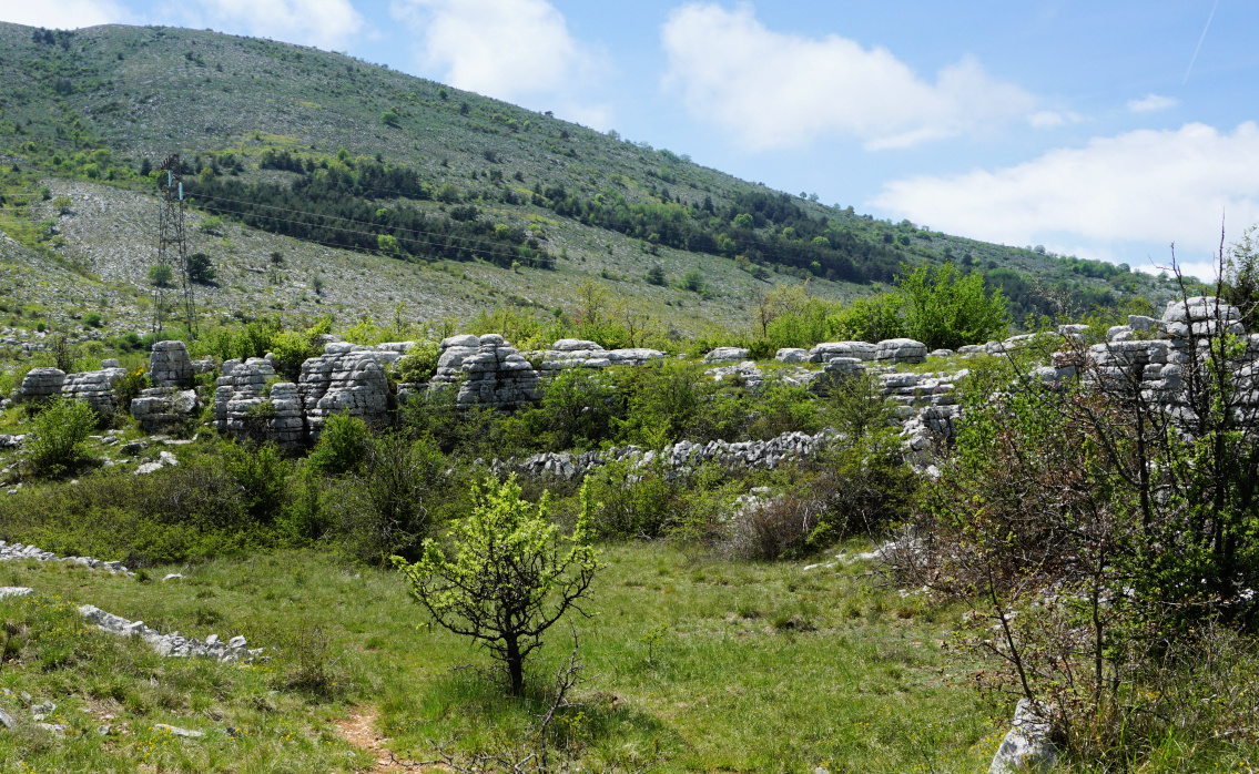
| Puy de Tourrettes northeastern flank |
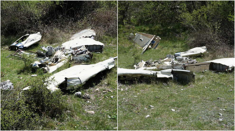
We passed a pasture area and shelters, mostly ancient. We then stumbled on an airplane wreck lying in a small depression next to the trail. It must have been there for decades. Looking at the tail plane, it could be a Mooney. This wreck is less famous than the other one, a Rockwell Commander, lying on the southern flank of Puy de Tourrettes.
We crossed an empty pasture field, climbed a bit more before starting to descend along a narrow unmarked trail, first heading northwest then north. There were several narrow paths crisscrossing the flank. From our location a bit higher, we could see the plateau and our starting point which made the navigation easy.
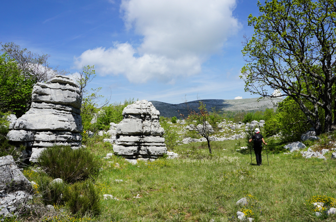
We descended to a mysterious geological area named Village Nègre. Not a true “village” but big eroded limestone statues around clearings. We have seen similar albeit not identical formations above Caussols.
 |
| Pasture at 1060m |
 |
| Small airplane wreck |
 |
| Entering Village nègre |
 |
| Eroded limestones Village nègre |
 |
| Rock formations Village nègre |
We continued to the north along one of the trails and soon reached the parking. Using this itinerary, we never came near any areas or dwellings marked as private properties.
Distance: 5,5 km
Climb: 135 m
Duration: ~ 2 h
Map: 3642 ET Vallée de Estéron Vallée du Loup
 |
| Village nègre hike track |


0 comments:
Note: only a member of this blog may post a comment.