

Airplane wreck above Tourrettes-sur-Loup

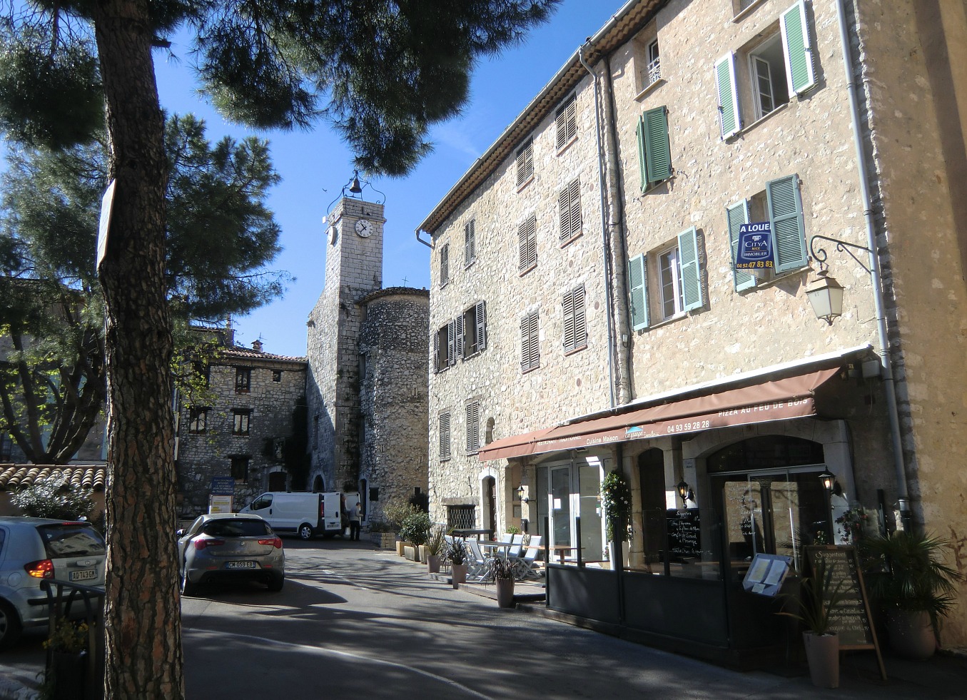
We have previously made several good hikes from Tourrettes-sur-Loup such as Circuit de Pié Martin, the ascent to Col de Vence, and to Puy de Naouri.
This time we ascended from the village in search of an airplane wreck.
In July 1980, a Danish registered single-engine plane OY-CAY crashed below the summit of Puy de Tourrettes (1268 m). According to an aviation safety site, the pilot survived the crash. There were no passengers. The plane in question was a three-year old Rockwell Commander 114. What exactly happened is not described. I was certified to fly the Rockwell Commander 112 in the late 70s, hence the additional interest. The plane had very nice handling qualities. The main difference between the two was the engine size: -112 had a 200hp powerplant whereas the -114 had 60hp more.
Based on pictures of the wreck, and some French hiking web sites, I could pinpoint the location. The wreck is also visible in Google Earth.


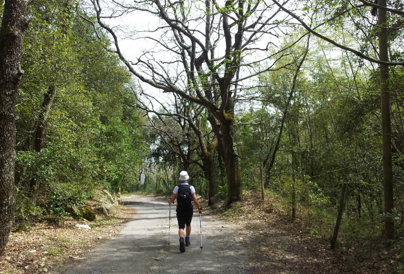
We started from the centre of Tourrettes-sur-Loup (400 m) along a paved road called Route de Caïre. It ascended steeply passing the last houses. Eventually, a guesthouse Bastide de la Source (820 m) with impressive surroundings was reached. The paved road ended here. The trail now continued ascending steeply, zigzagging in the mountain slope. After about 1h 50 after the start, we came to a crossroads at a plateau (about 1030 m). From here, one marked and signposted trail continued straight(north) to St Barnabé, the second turned right(east) to Puy de Naouri. The third trail that forked left(west, pictured) was unmarked and not shown on the map, but there were cairns. Clearly it continued towards the summit of Puy de Tourrettes.
From the said crossroads, I knew that the heading to the Rockwell wreck was about 250°, and the distance 910 m. The direct route seemed to be a bit rocky. We therefore chose to follow the trail heading west about 400 m, then forked left and started to look for the wreck that was lying at 1085 m elevation.
We first found parts of the tailplane and the fin. The fuselage was a bit higher, about 150 m northwest, lying with the nose downhill. It was surprisingly well preserved after almost 36 years. There were no signs of fire. The engine was long gone and not much was left of the interior.
Needless to say, it was a bit sad to see a great plane ending up here. We descended back to Tourrettes-sur-Loup along the same trail.
Total ascent: 700 m
Duration: 4 h

Trail image courtesy of Google Maps


0 comments:
Note: only a member of this blog may post a comment.